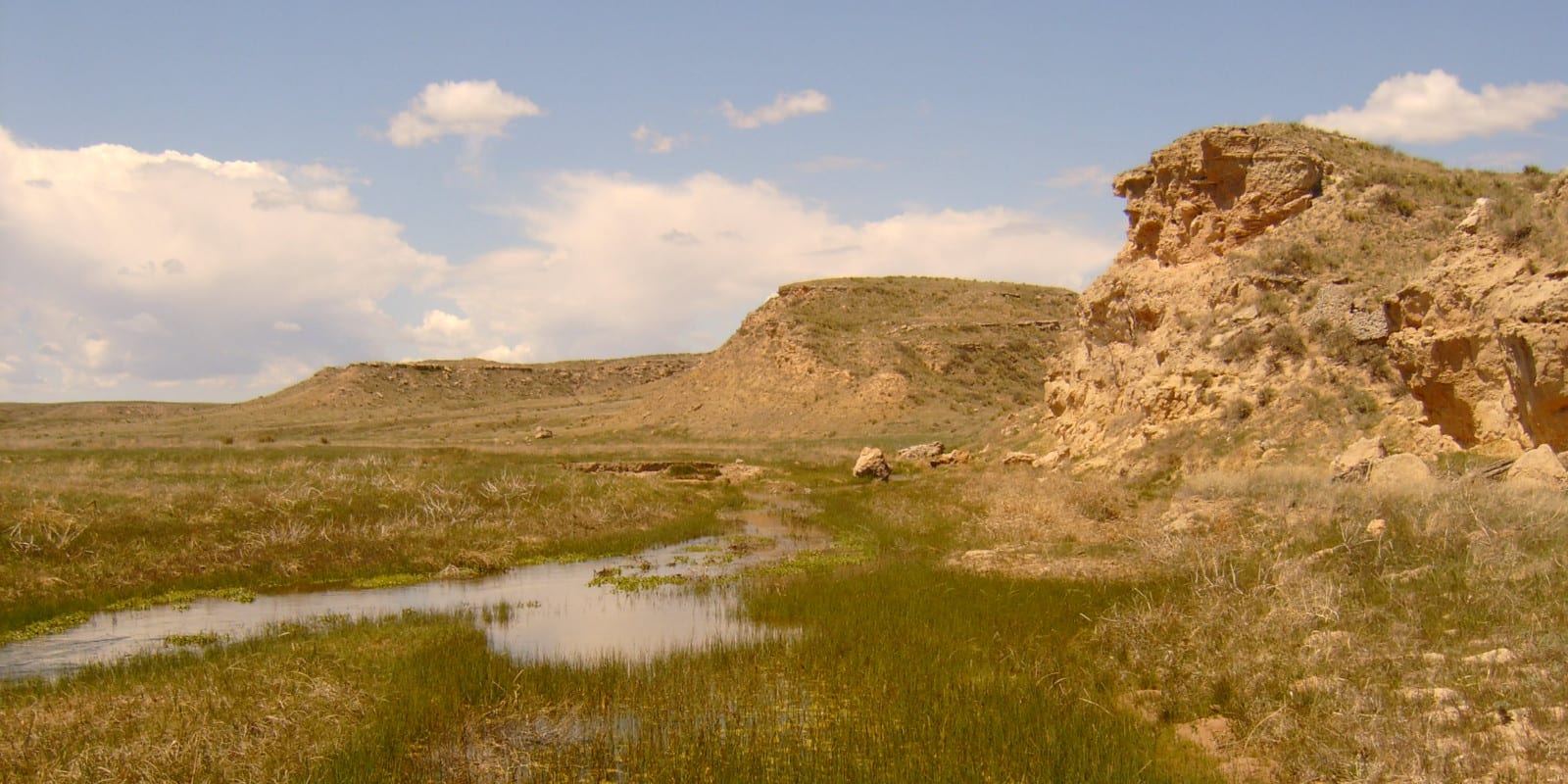
The Arikaree River is 156 miles long and journeys through three states: Colorado, Kansas, Nebraska. The river is considered to be part of the Great Plains river system that functions naturally on its own and is home to several bird species, amphibians, and fish that are native to the area.
Arikaree River Route
The Arikaree River’s source is in the plains of eastern Colorado, near the most eastern part of Elbert County. It then flows northeast into Yuma County, from where it continues to travel east and crosses the state border to Kansas and flows through its northwest corner and into Nebraska.
The lowest point in Colorado happens to be where the Arikaree River passes from Yuma County into Nebraska at 3,315 feet.
It eventually ends just north of Haigler, Nebraska, where it joins the Republican River and the North Fork Republican River.
Activities on the Arikaree River
The Arikaree River doesn’t pass through too many towns, with Haigler, NE being the closest populated area to any point of the river. According to local anglers, there are places to fish just south of Haigler and near the North Fork Arikaree River in Colorado, while other visitors have claimed to be able to swim in certain sections.
Details:
Passes through:
- Eastern Colorado
- Yuma County
- Wray
- Haigler, NE
Length: 156 miles
Tributaries:
- North Fork Arikaree River
- Black Wolf Creek
Tributary to: Republican River

