• Menu
  • Skip to right header navigation
  • Skip to main content
  • Skip to primary sidebar
  • Skip to footer

Uncover Colorado Logo

  • Blog
  • Activities
    • Year-round
      • Brewery Tours
      • Casinos & Gaming
      • Colorado Brands
      • Federal Lands
      • Food & Dining
      • Ghost Towns
      • Gondola & Chairlifts
      • Hot Springs
      • Mine Tours
      • Museums
      • Paintball
      • Public Parks
      • Scenic Drives
      • Shopping
      • Sports Teams
      • State Parks
      • Train Rides
      • Transportation
      • Wildlife
      • Zip Lines & Aerial Parks
    • Spring, Summer & Fall
      • Amusement Parks
      • ATV Rentals
      • Biking
      • Boating
      • Camping
      • Drive-In Theaters
      • Fishing
      • Golf Courses
      • Hiking
      • Horseback Riding
      • Rock Climbing
      • Tubing & Paddling
      • Waterfalls
      • Whitewater Rafting
    • Winter
      • Cross Country Skiing
      • Dog Sledding
      • Ice Climbing
      • Ice Fishing
      • Ice Skating
      • Skiing & Snowboarding
      • Sleigh Rides
      • Snow Tubing
      • Snowmobiling
      • Snowshoeing
  • Events
    • January
    • February
    • March
    • April
    • May
    • June
    • July
    • August
    • September
    • October
    • November
    • December
  • Lodging
    • Budget Hotels
    • Historic Hotels
    • Luxury Hotels
    • Bed & Breakfasts
    • Cabins & Glamping
    • Casinos with Lodging
    • Dude Ranches
    • Hot Spring with Lodging
    • Wineries with Lodging
    • Campgrounds
  • Towns
  • Trip Planner
  • Search
  • Blog
  • Activities
  • Events
  • Lodging
  • Towns
  • Trip Planner
The summit of Cordova Pass, CO
The summit of Cordova Pass. Photo: The summit of Cordova Pass. Photo: Alethe88

Cordova Pass – Cuchara-Aguilar

FacebookTwitter

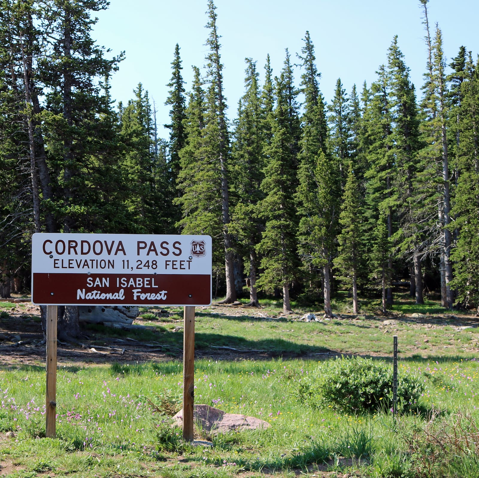
In southern Colorado, Cordova Pass is a 11,260 foot mountain pass just outside of the Spanish Peaks Wilderness. The pass is primarily enjoyed in the summer with a lot of opportunities for hiking and camping.

It’s located south of Cuchara, CO, accessible from SH 12 at the top of Cordova Pass. It is a detour route that leads through beautiful national forest via County Road 46. It meets back with I-25 at Aguilar, CO.

History

Cordova Pass, CO
Cordova Pass, CO. Photo: Jack Gray

In 1928 Jose De Jesus Cordova gathered enough funding to build a road from Aguilar, Colorado to what is now known as “Cordova Pass.” Until 1934, Cordova Pass was referred to as “Apishapa Pass,” from the Apache word for “stinking water.”

In order to complete the road, the Civilian Conservation Corps dug a tunnel through a volcanic dike, which is now known as the “Apishapa Arch.”

Cordova Pass Accessibility

Cordova Pass, CO
Truck on Cordova Pass road , CO. Photo: Jack Gray

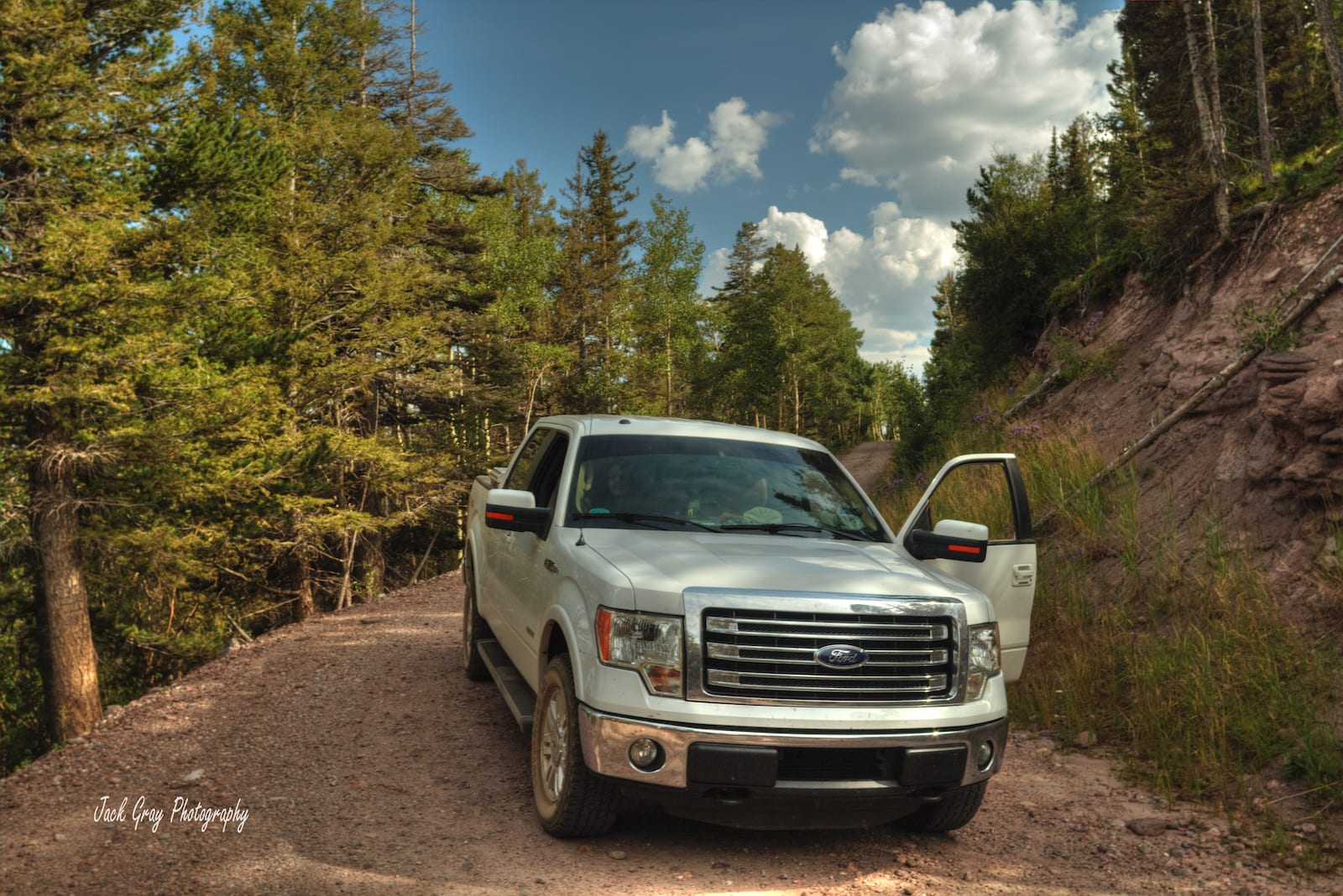
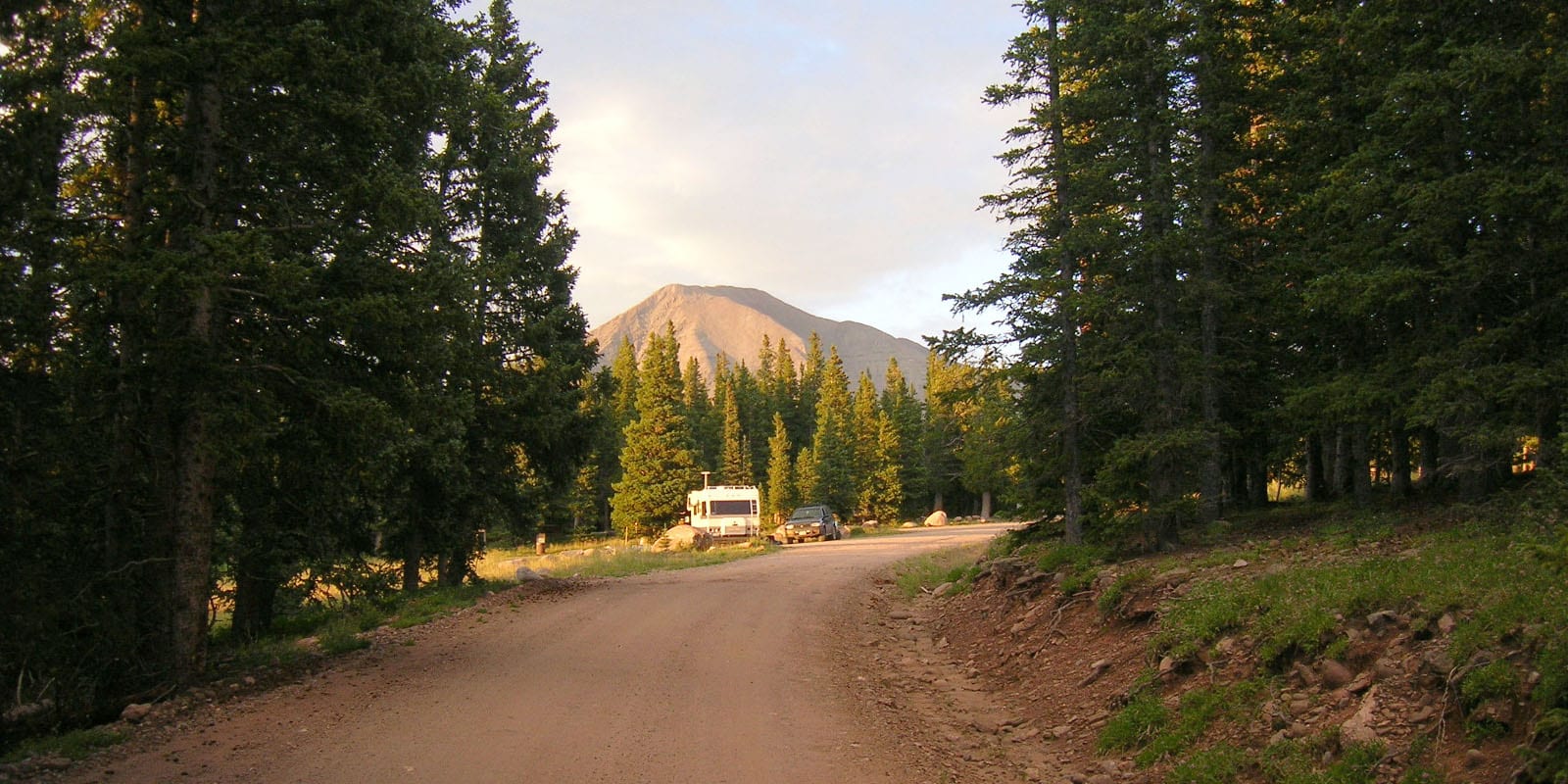
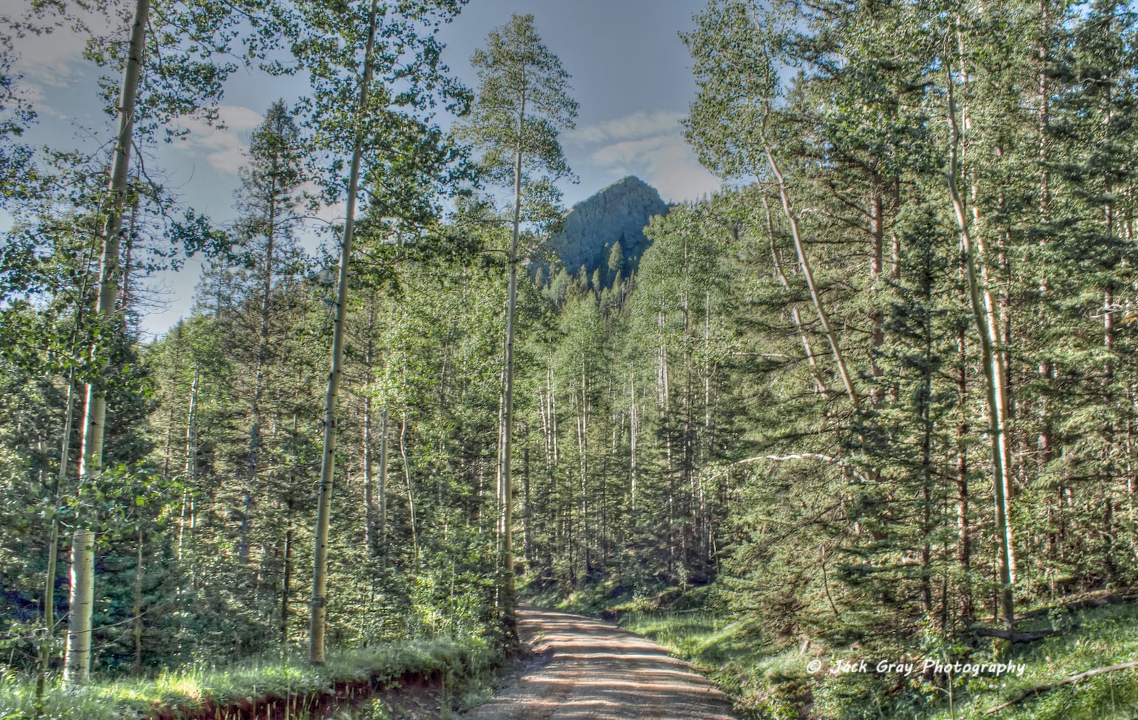
Cordova Pass lies along a portion of the Highway of Legends Scenic Byway. Although it is a high elevation dirt road that has many tight turns, the route itself is not considered to be difficult for most drivers.

Seasonality – In the spring, access to Cordova Pass typically opens in late May or early June. The road closes when it becomes covered by snowfall, usually by early November.

Vehicle Restrictions – In good weather conditions, most passenger vehicles can easily access Cordova Pass. If rain or snow is possible, 4WD is recommended.

Activities near Cordova Pass

Cordova Pass, CO
Hiking at Cordova Pass, CO. Photo: Larry Lamsa

Cordova Pass sits within a fee area of the San Isabel National Forest. The day-use and overnight camping fees are reasonable at the Cordova Pass Picnic Area and Campground. ONLY TENT camping is allowed in campground. There is no running water at Cordova Pass, but there are vault toilets. Campsites receive heavy use during peak summer and are first-come, first serve, which must be stayed that night.

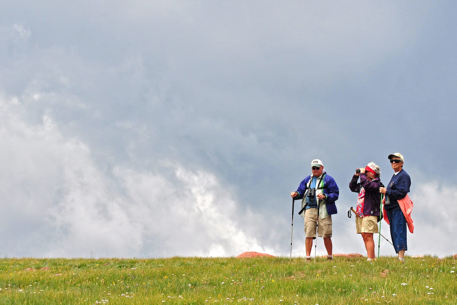
There are also some dispersed campgrounds along the forest road leading up to the pass. RVs, camper vans and travel trailers can use any prexisting site for free, primitive dispersed camping – no hook-ups of course. At the summit, visitors can utilize one of several hiking trails to enjoy the flora, fauna, and views of the national forest and surrounding Spanish Peaks Wilderness.

Cordova Pass, CO
Cordova Pass sign, CO. Photo: Jeffrey Beall

Details

Address: Forest Road 415, 6 miles east off of State Highway 12 (south of Cuchara to Aguilar, CO )

Season: Late May to November

Elevation: 11,260 feet (3,430 meters)

County: Las Animas County

Mountain Range: Spanish Peaks

Coordinates: 37°20’54.2″N 105°01’29.1″W

Access: Forest Road 415 / County Road 364 (Cordova Pass Road)

Primary Sidebar

Join our Colorado travel community

Enter your email below and grab our free locals' guide and monthly what's up designed to help you live your Colorado life and uncover fun things to do. —and never miss out again.

Recent Posts

  • Upcoming Spring Festivals in Colorado
  • 8 Great Springtime Colorado Festivals
  • 9 Colorado Ski & Snowboard Companies
  • Brief Timeline of Colorado’s Ski and Snowboard History
  • Fly Directly to these Colorado Ski Resorts with Airports Nearby

Footer

Get In Touch

  • Home
  • About Us
  • Contact Us
  • Privacy Policy
  • Resources
  • Disclaimer
Facebook Instagram Pinterest Twitter

Disclosure: Uncover Colorado is a participant in the Amazon Services LLC Associates Program, an affiliate advertising program designed to provide a means for sites to earn advertising fees by advertising and linking to Amazon.com.

Things To Do

  • Travel Blog
  • Colorado Activities
  • Colorado Events
  • Colorado Towns
  • Colorado Hotels
  • Colorado Restaurants
  • Colorado Transportation
  • Made in Colorado

Cheers! Mile High Happy Hour shares showcases Denver neighborhoods' restaurant happy hours.

Winter Activities

  • Federal Lands
  • Ghost Towns
  • Hot Springs
  • Ice Skating
  • Ski Resorts
  • Snow Tubing
  • State Parks
  • Train Rides

Copyright © 2023 · Uncover Colorado | Sitemap | Advertise