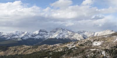
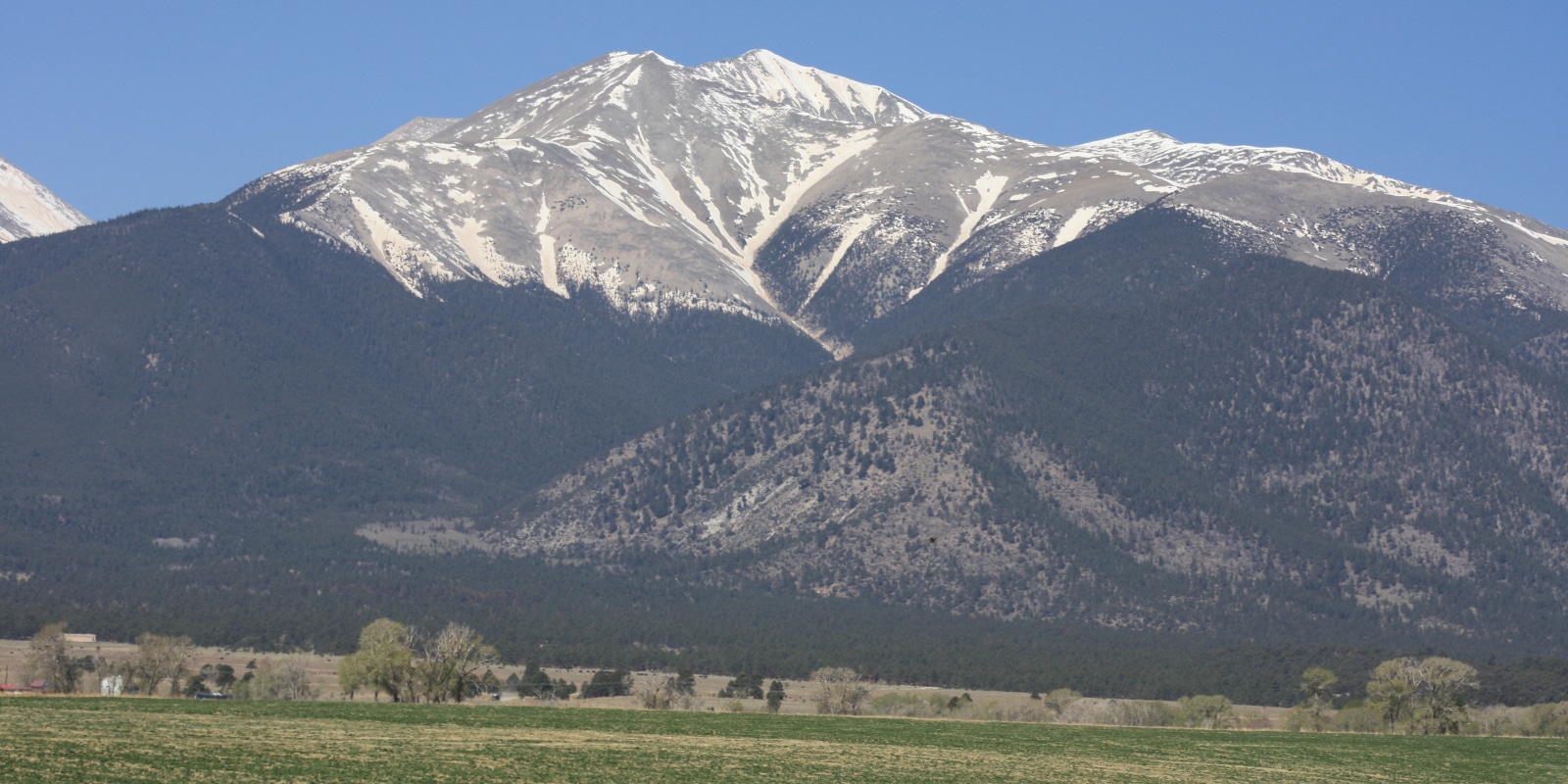
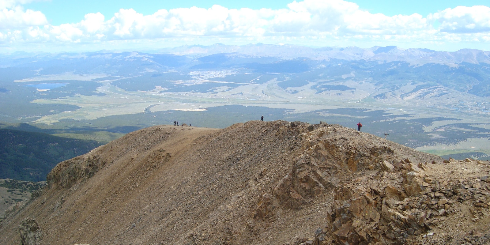
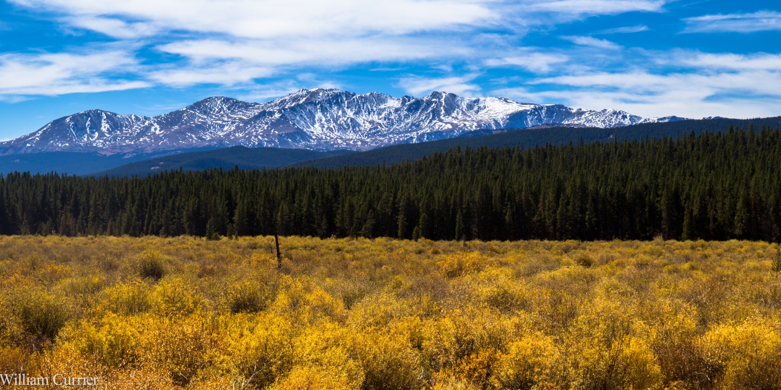
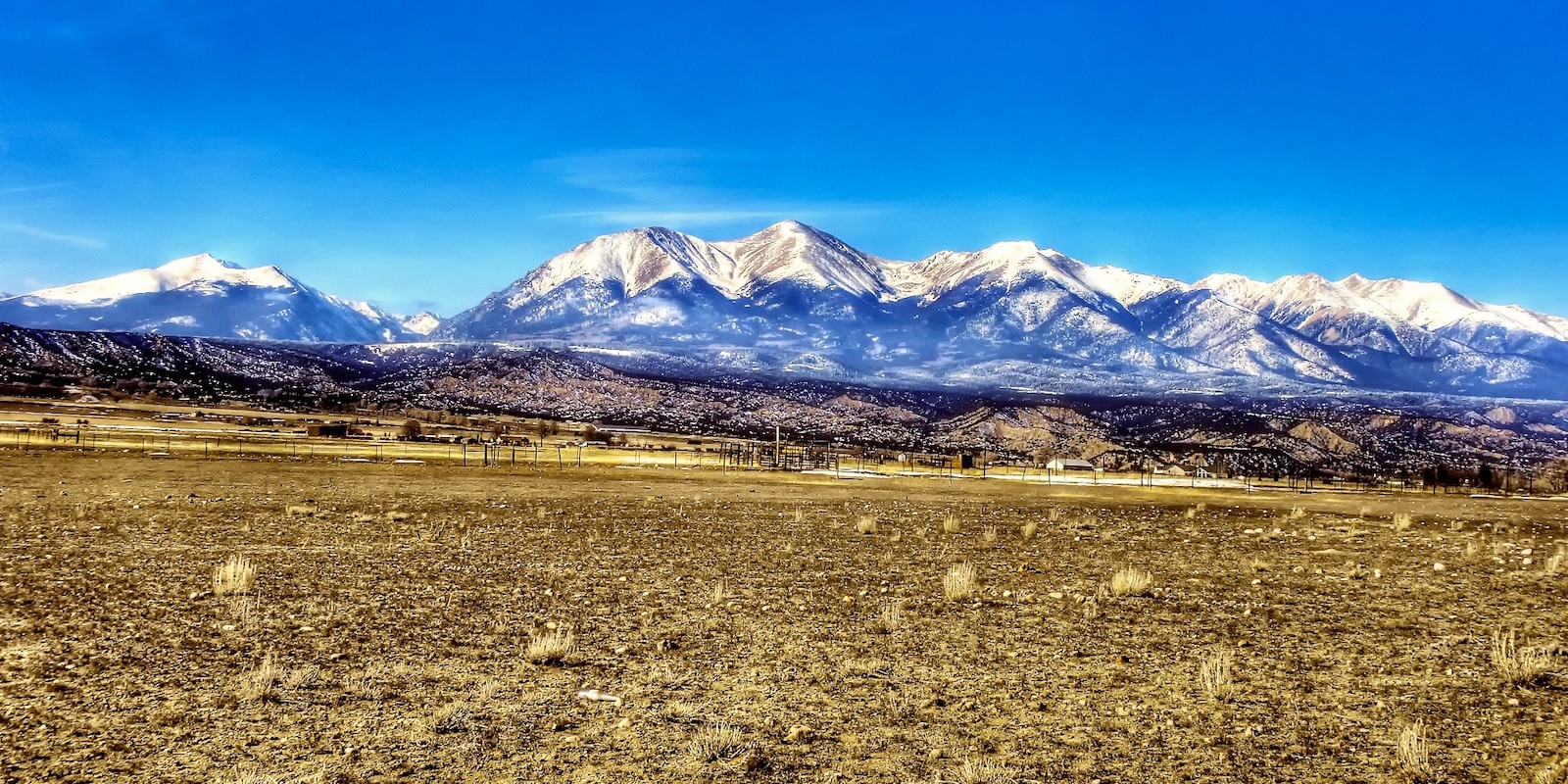
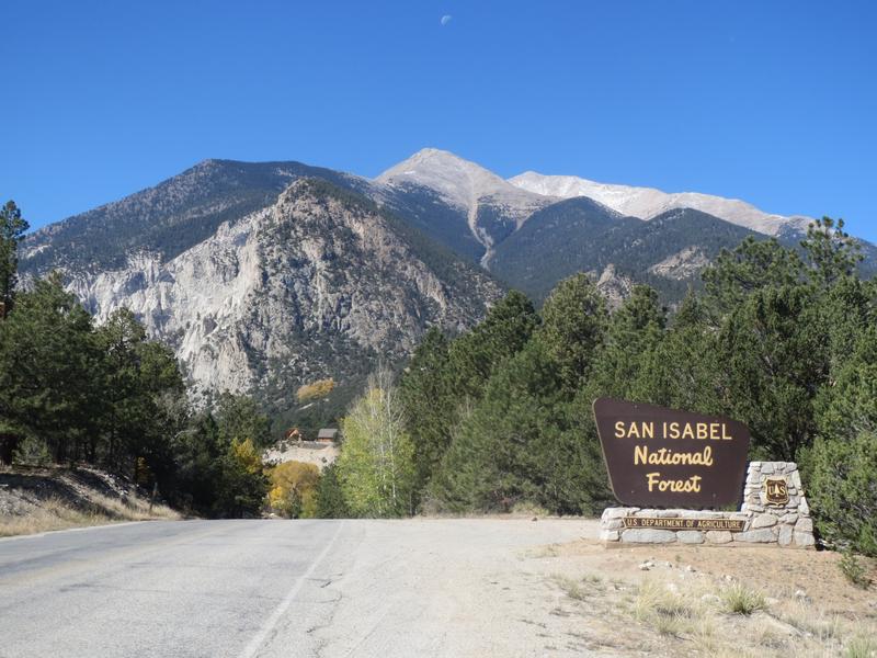
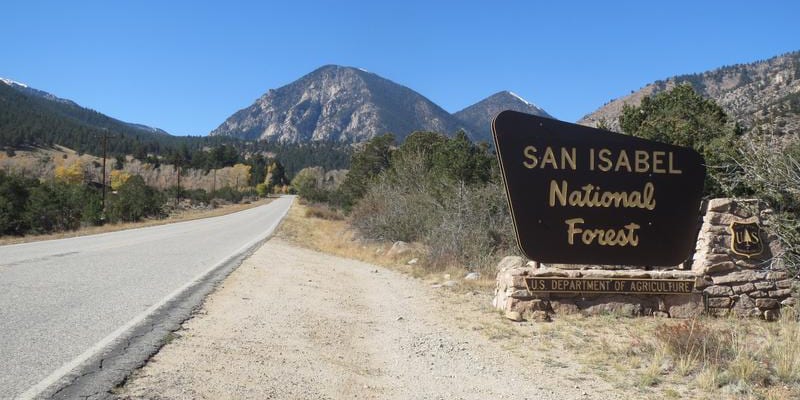
San Isabel National Forest contains 19 of the state’s 54 fourteeners, including Mt. Elbert, the highest peak in Colorado. It’s located in the mountainous center of the state and stretches from Leadville all the way south past Walsenburg.
There are numerous gems spread around this easy-to-access national forest, with many areas only a few hours away from Denver. The national forest contains land on both sides of the upper Arkansas River Valley, the eastern slopes of the Sangre De Cristo Mountains, the Wet Mountains, and the Spanish Peaks.
Main Attractions
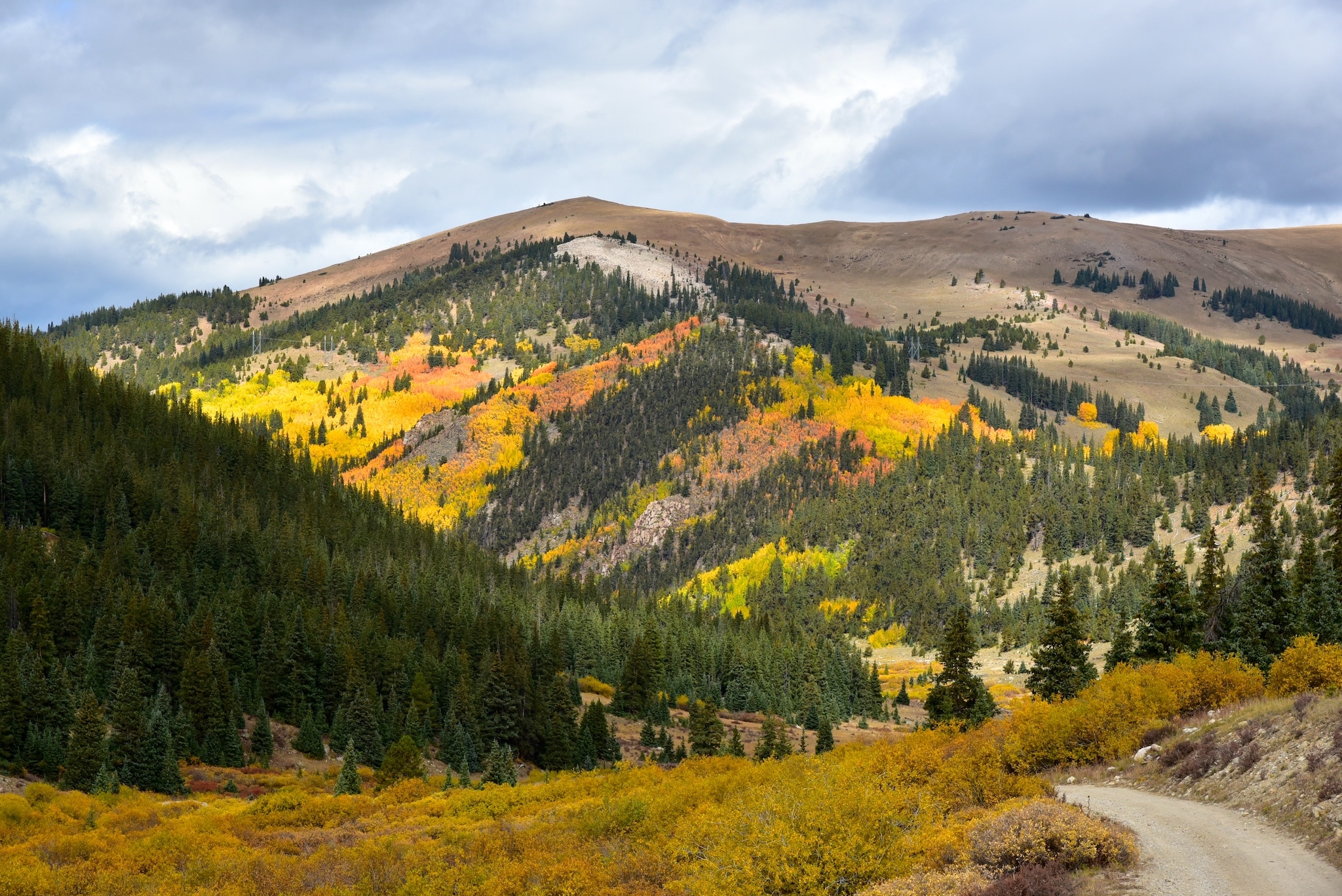
Containing hundreds of summits and over one million acres of terrain, San Isabel is a hiking and mountain-climbing paradise. Leadville, Buena Vista, Salida, Fairplay, and Westcliffe are good area basecamps.
Map of San Isabel National Forest

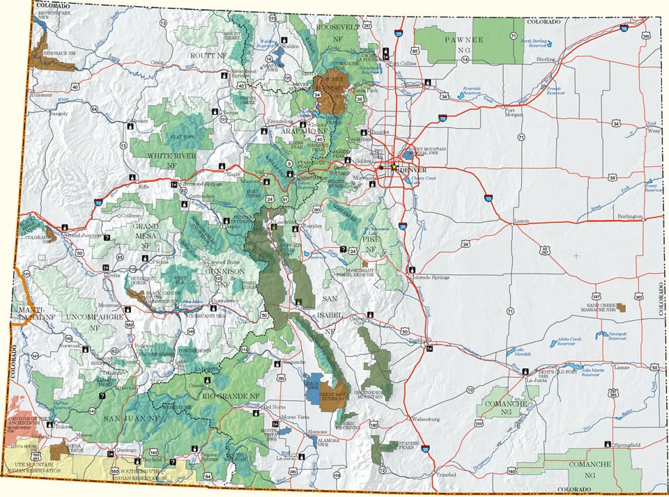
The San Isabel National Forest borders the Rio Grande National Forest to the southwest, the Gunnison National Forest to the west, the White River National Forest to the north, a small part of the Arapaho National Forest to the northeast, and the Pike National Forest to the east.
Biking
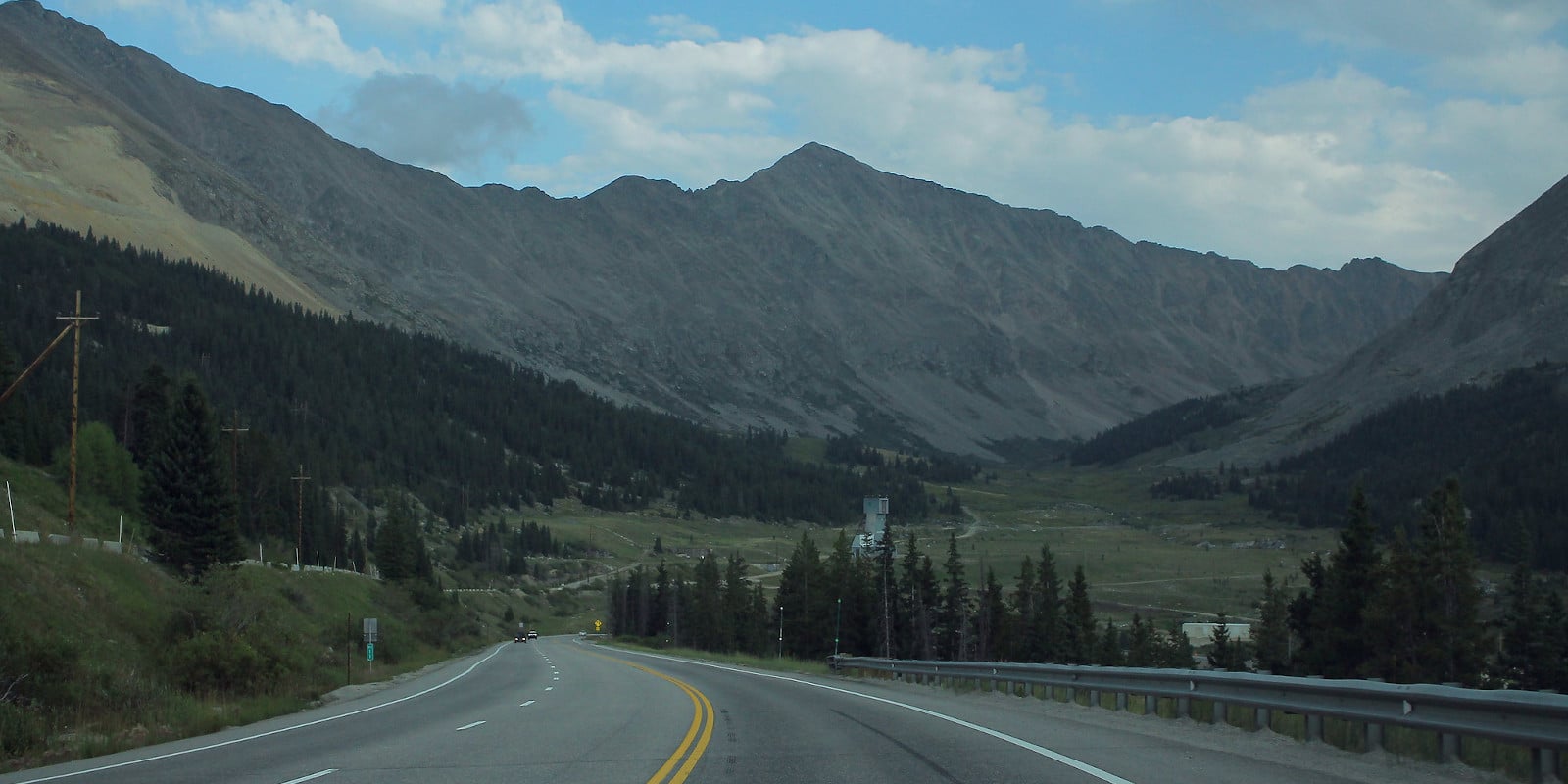
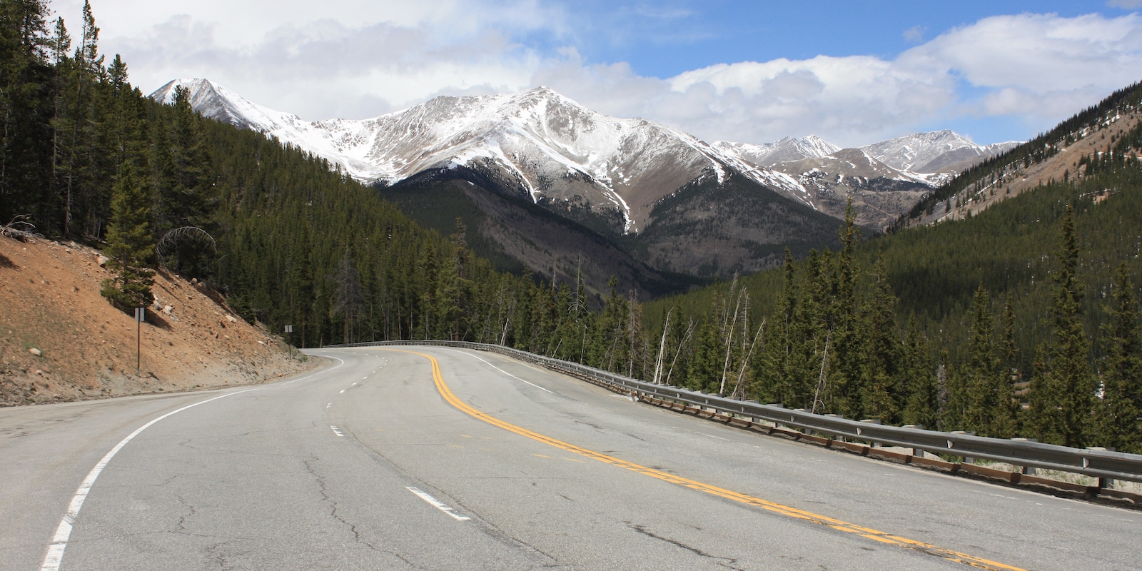
Demanding paved mountain passes makes for great riding. Independence Pass, which connects Aspen with the Arkansas River Valley, is a fabulous challenge with long stretches of alpine glory. Cottonwood Pass and Monarch Pass are also memorable rides with views a-plenty and long ups and downs.
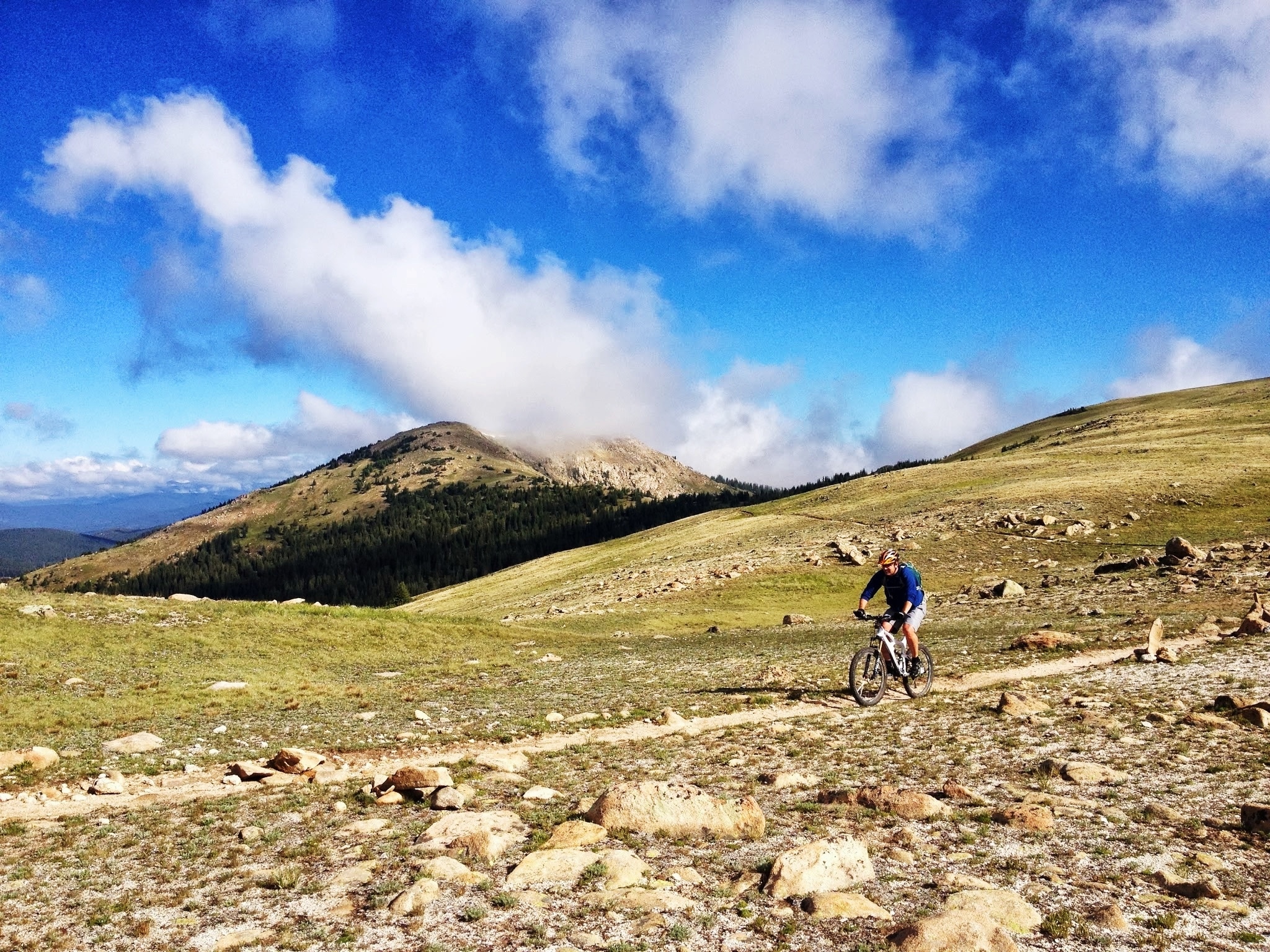
For mountain bikers, the always amazing Monarch Crest Trail is among the best rides in the state. The Cottonwood Trail, near Salida, provides plenty of challenges, flowy descents, and committing climbs. Additionally, the well-loved Alpine Tunnel section of the Continental Divide Trail is a fantastic ride, along with the moderate but scenic Twin Lakes Loop.
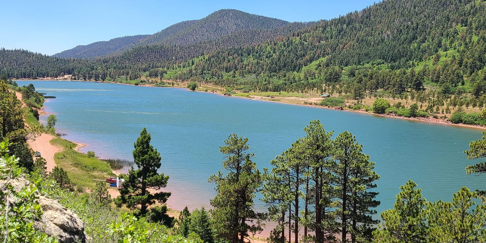
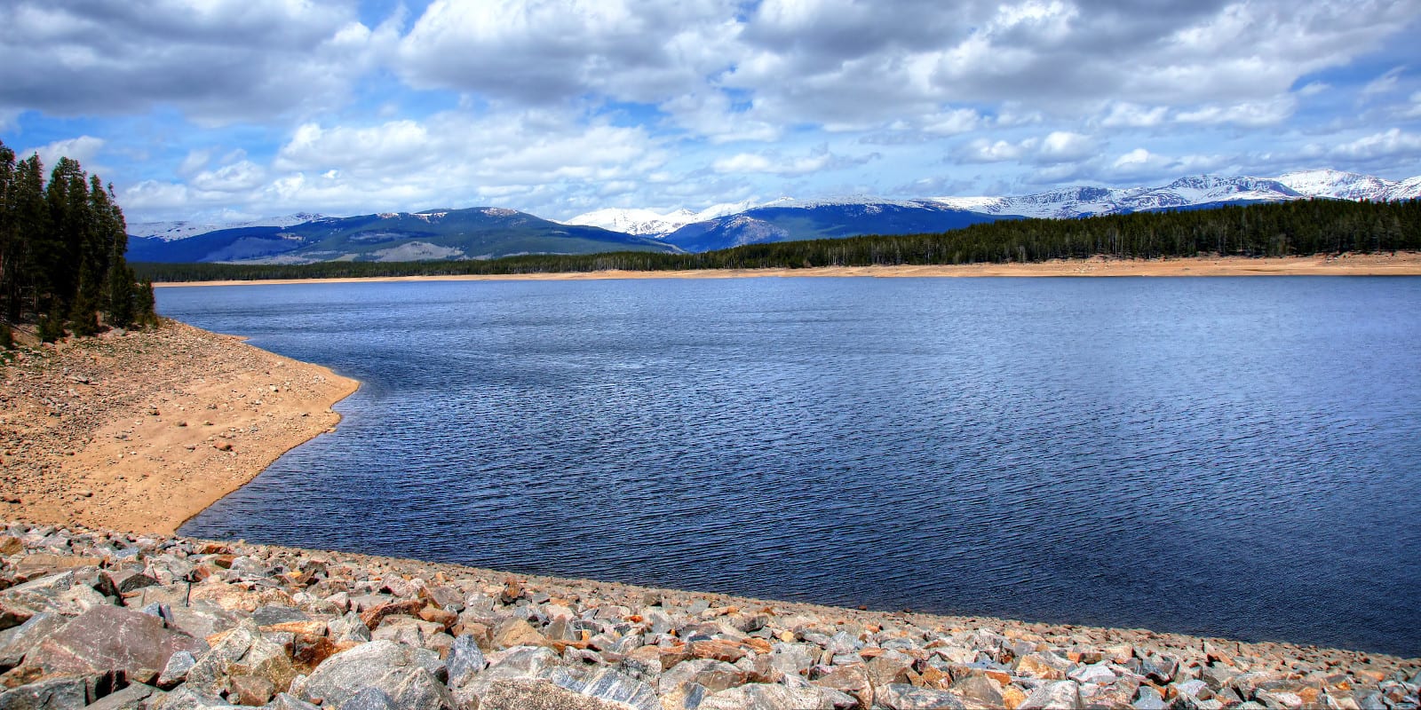
Boating
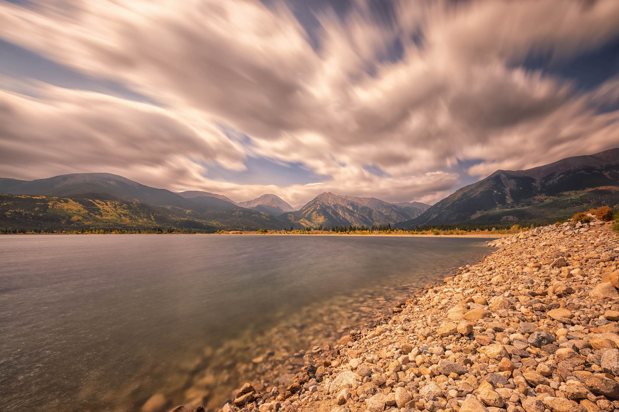
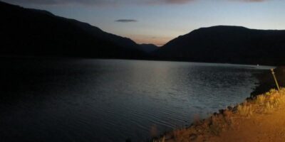
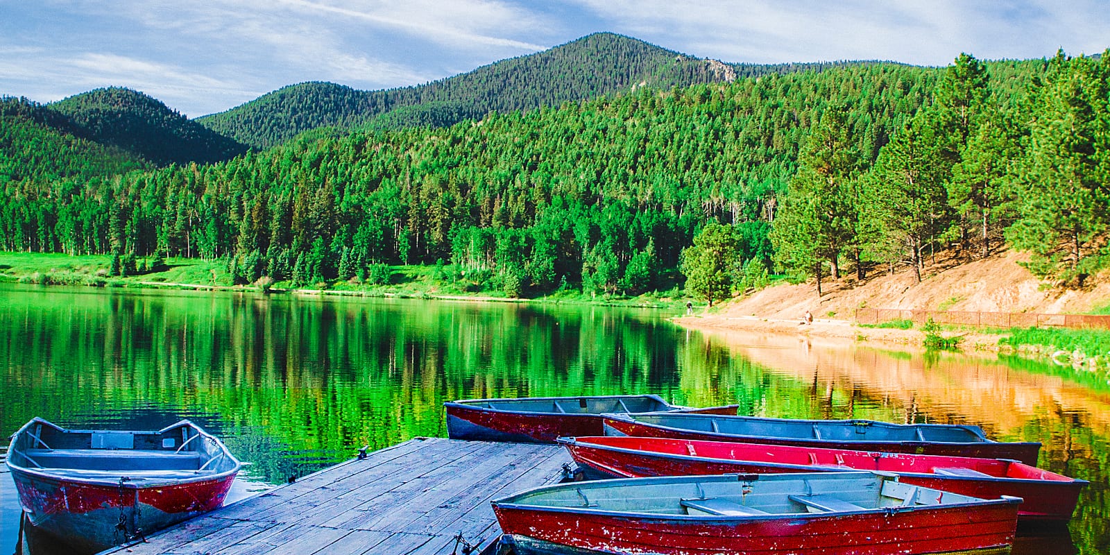
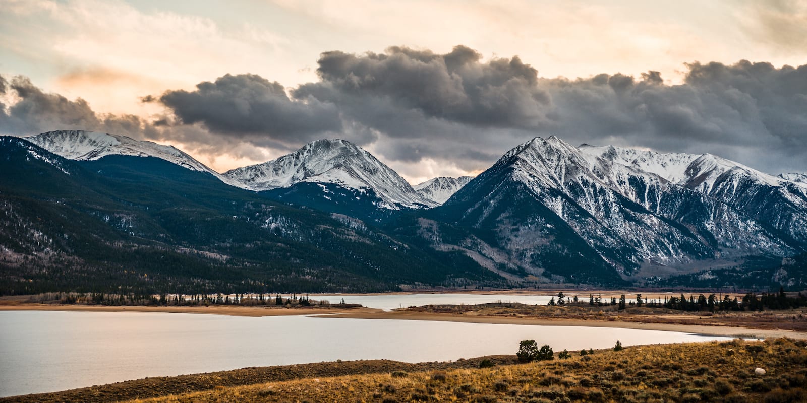
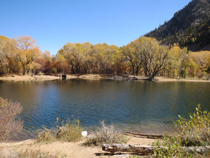
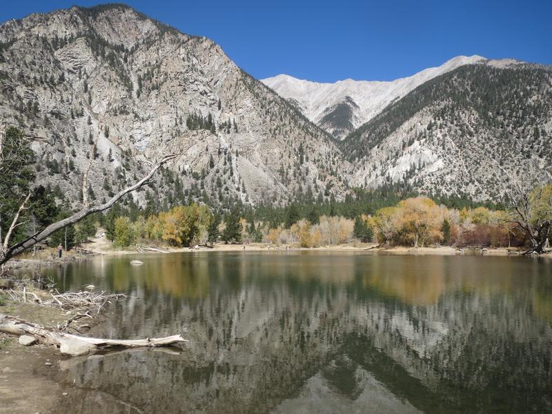
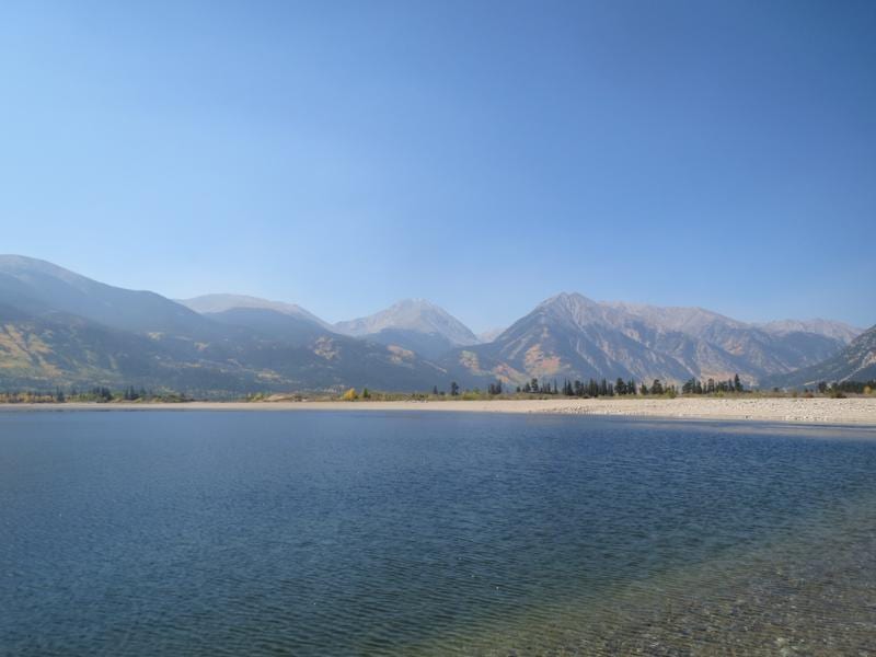
There are two standout options for motorized boating in San Isabel National Forest. The first option is Turquoise Lake just west of Leadville, which provides the lion’s share of water recreation for the area. In between Buena Vista and Leadville sits Twin Lakes Reservoir, which also allows motorized boating from May to October and features stellar views of towering peaks.
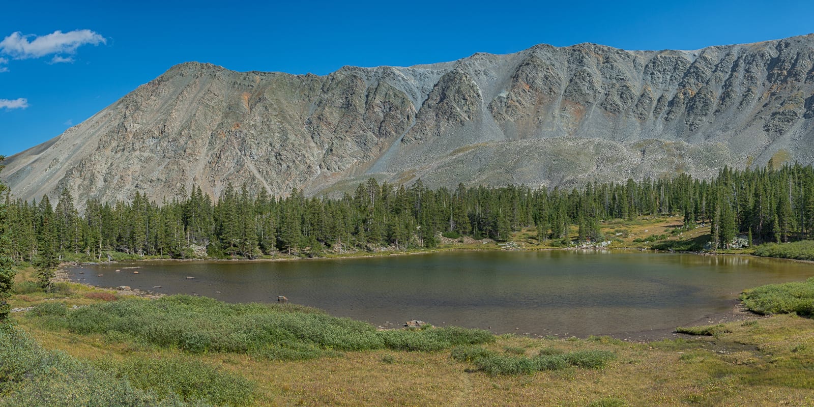
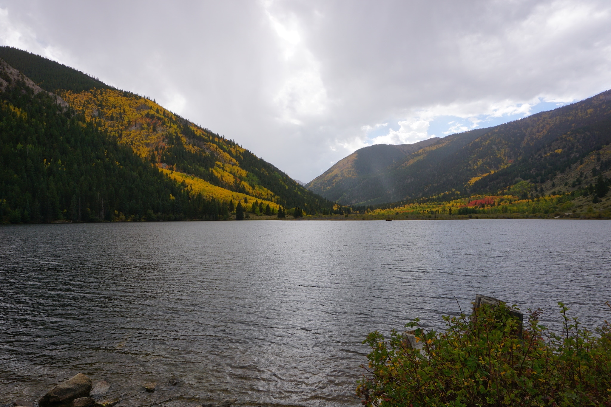
There are many smaller lakes scattered throughout the national forest that allow for non-motorized activities. Lake Isabel is a tranquil body of water in the Wet Mountains southwest of Pueblo that makes for a nice kayak or canoe. Cottonwood Lake, accessible via Cottonwood Pass road west of Buena Vista, is also a fun option for non-motorized watercraft.
Camping
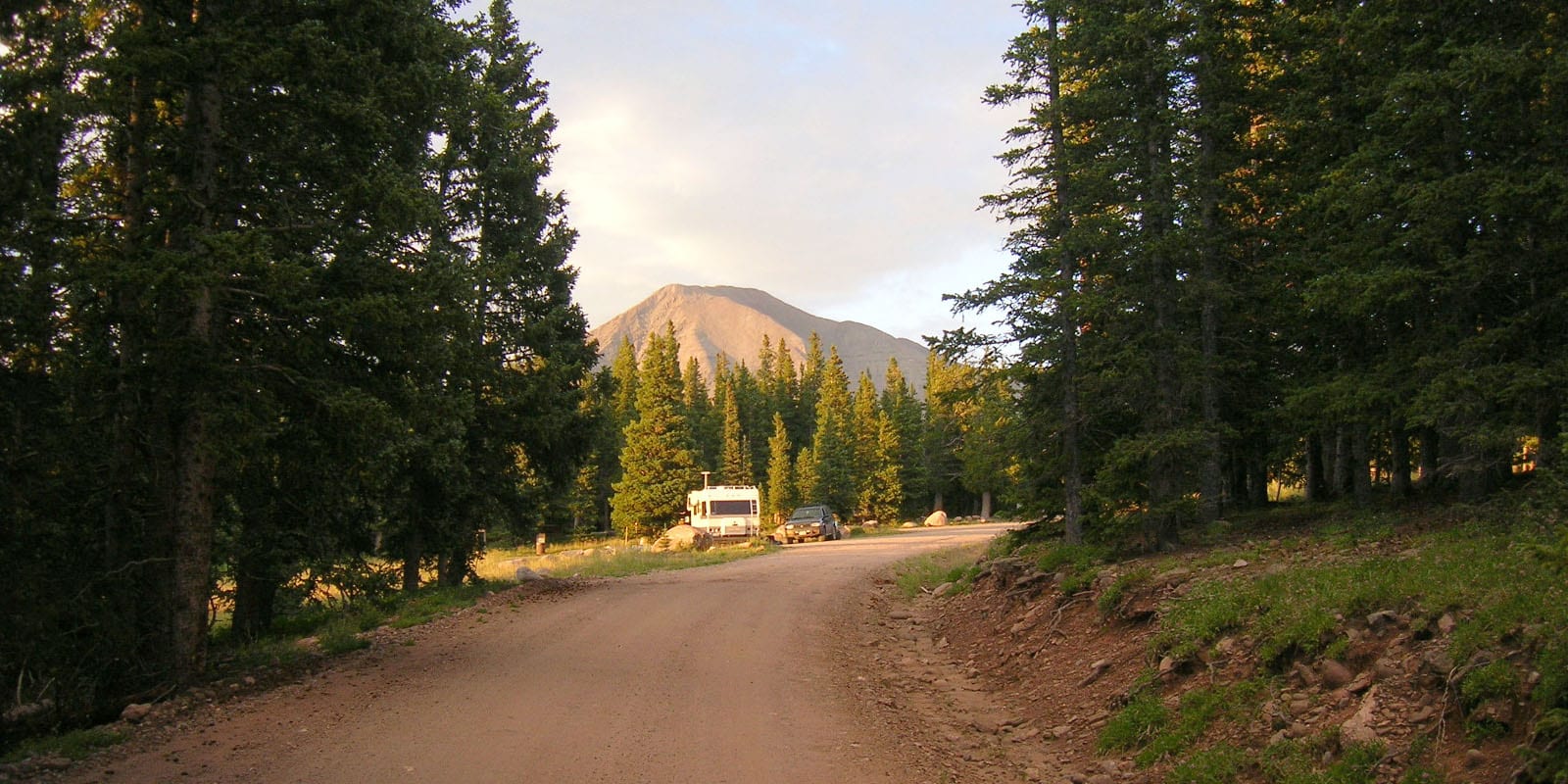
The camping throughout San Isabel National Forest is terrific. The Lakeview Campground above Twin Lakes, Cottonwood Lake Campground, and the handful of sites around Turquoise Lake are favorites, but dozens more deliver solitude and mountain views.
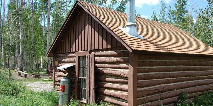
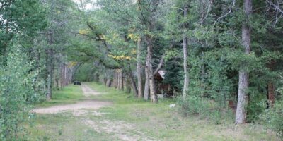
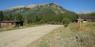
There are a series of cabins available for rent in the national forest as well. The USFS cabin options include the Crescent Mining Camp and Dawson Camp near the Collegiate Peaks Wilderness, Lake Isabel Cabin and Mingus Ranch Cabin in the Wet Mountains, and the Bassam Guard station/Cabin east of Salida.
- Read about the camping near Cañon City and the Royal Gorge.
- Read about the camping near Leadville and Twin Lakes.
- Read about the camping near Buena Vista and Nathrop.
- Read about the camping near Salida and Poncha Springs.
- Read about the camping near Trinidad, Walsenburg, and La Veta.
Fishing
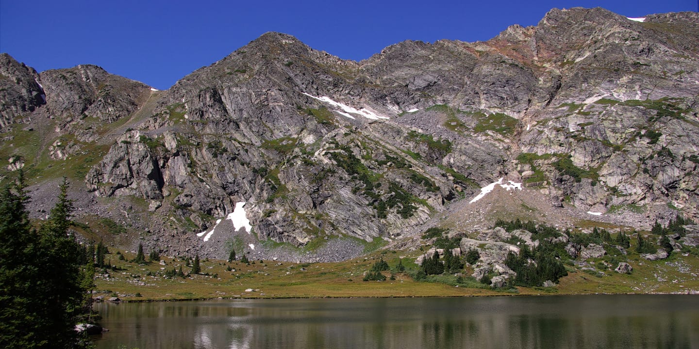
Lake and pond fishing in the San Isabel National Forest is a popular summertime activity. Some reliable locations include Turquoise Lake, Windsor Lake, and Twin Lakes Reservoir. Lake Isabel is also a tried and tested spot, alongside dozens of alpine lakes on the eastern side of the Sangre De Cristo Mountains.
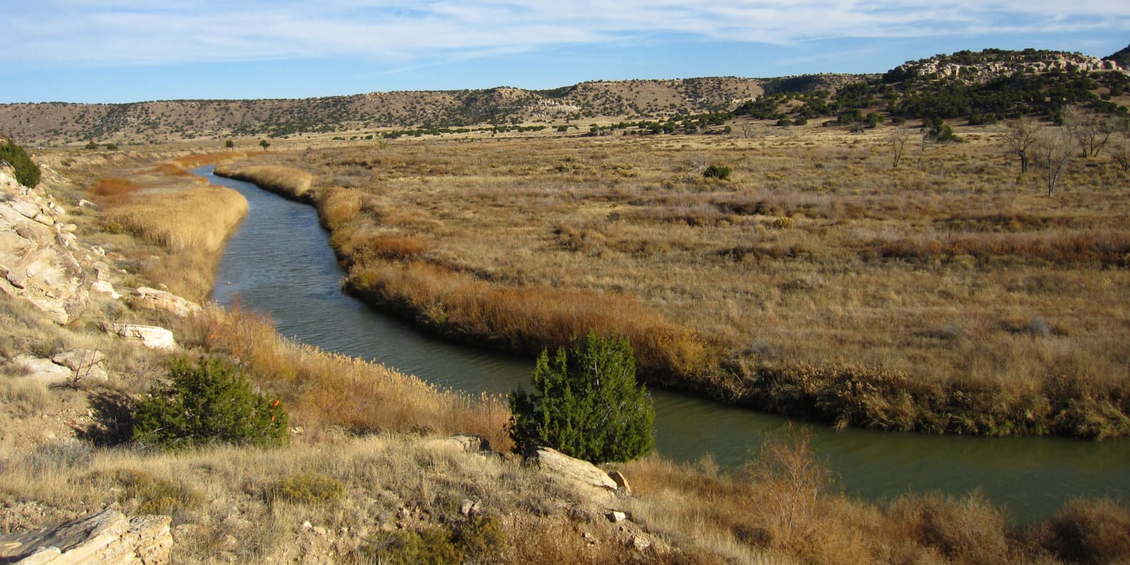
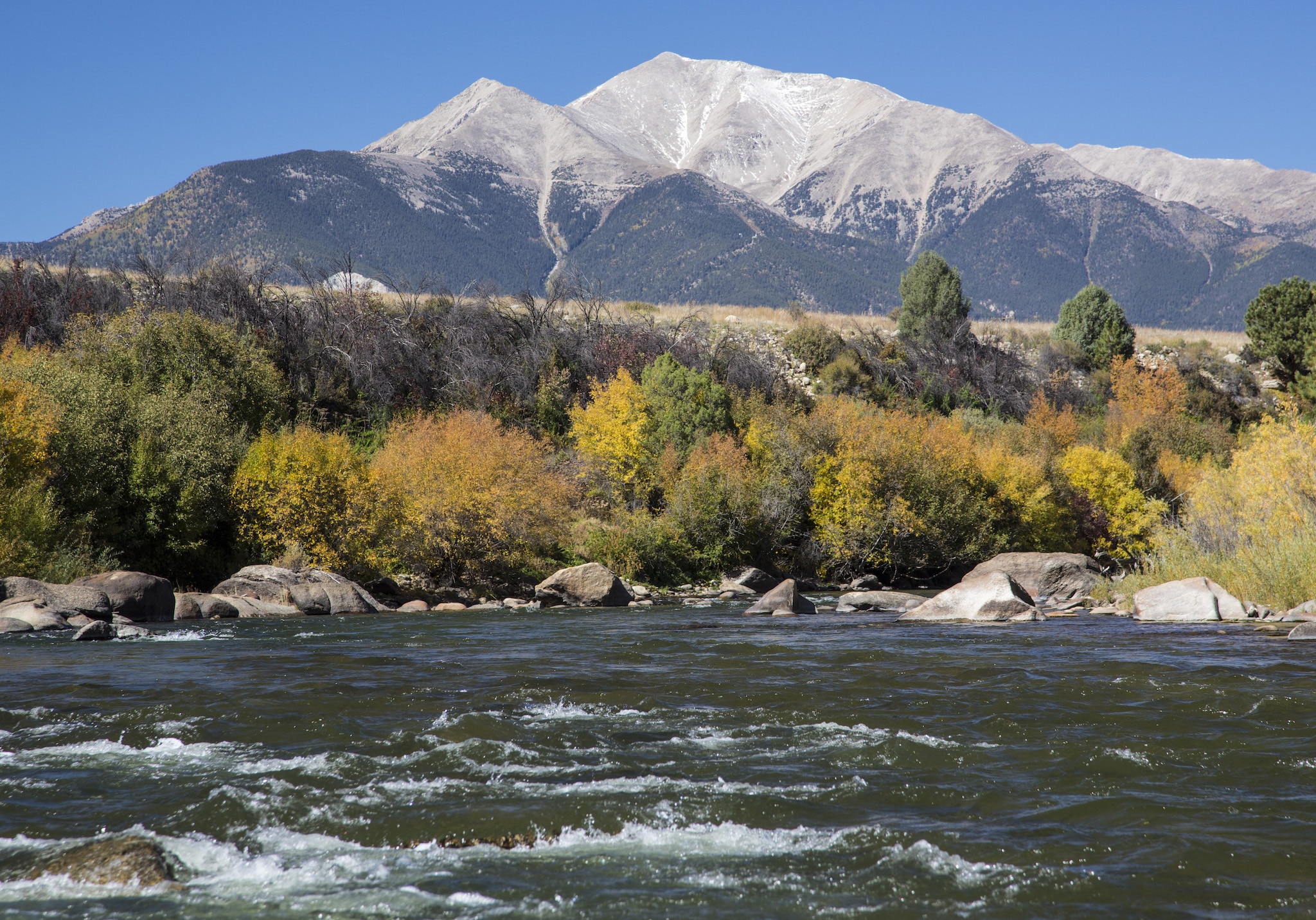
The Arkansas River, one of Colorado’s largest, originates in the national forest and passes through some pristine fishing environments. The scenic and remote Huerfano River headwaters also make for an enjoyable fishing quest. With multiple streams and lakes to discover, fishing in the San Isabel can make for a grand outing.
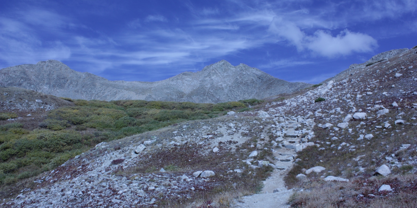
Hiking
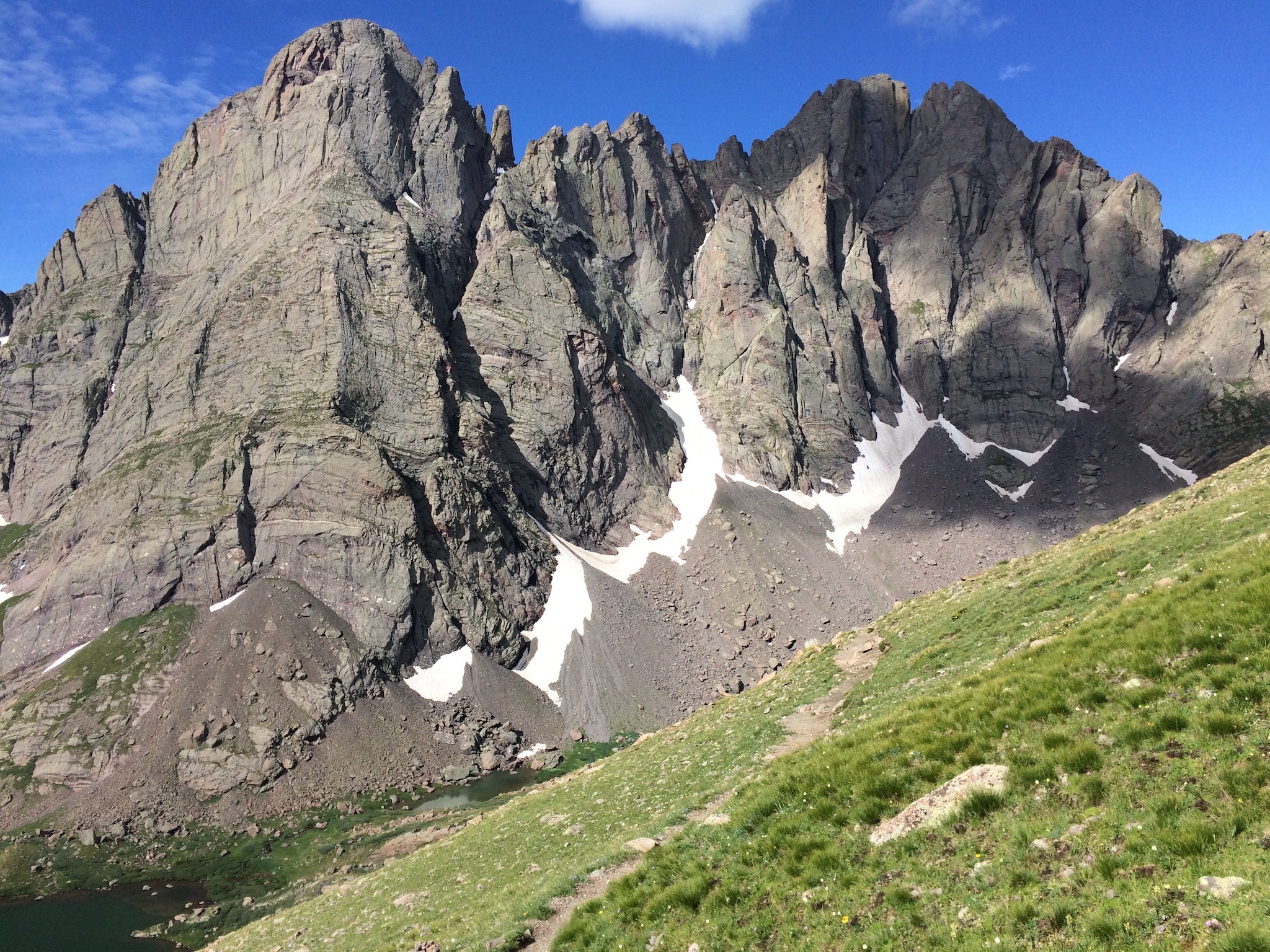
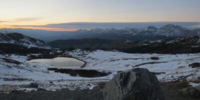
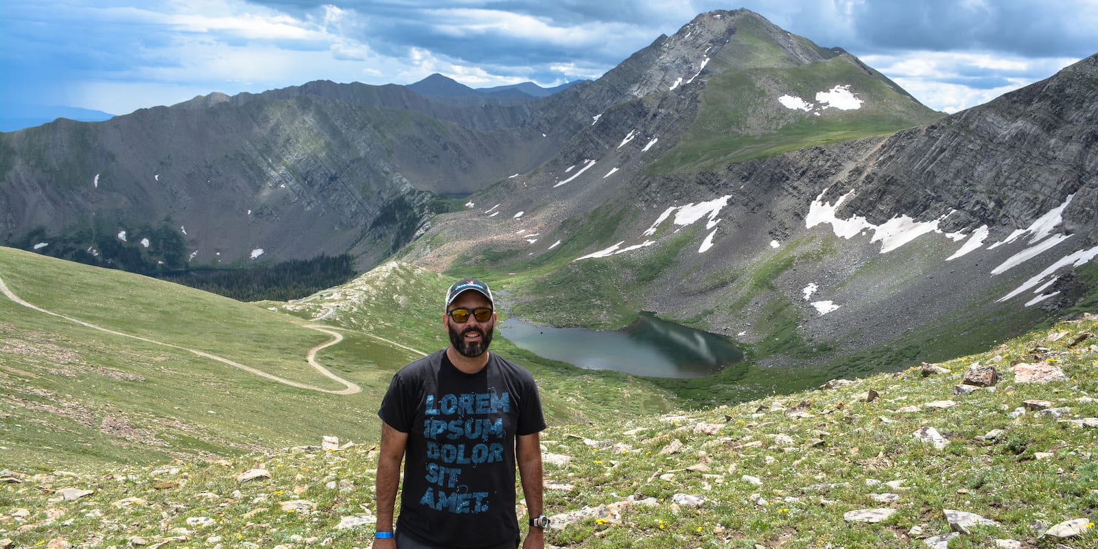
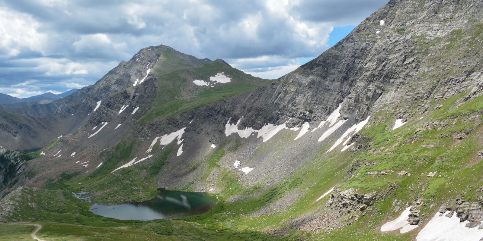
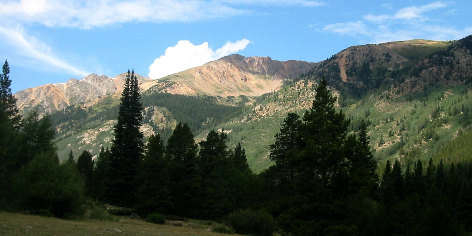
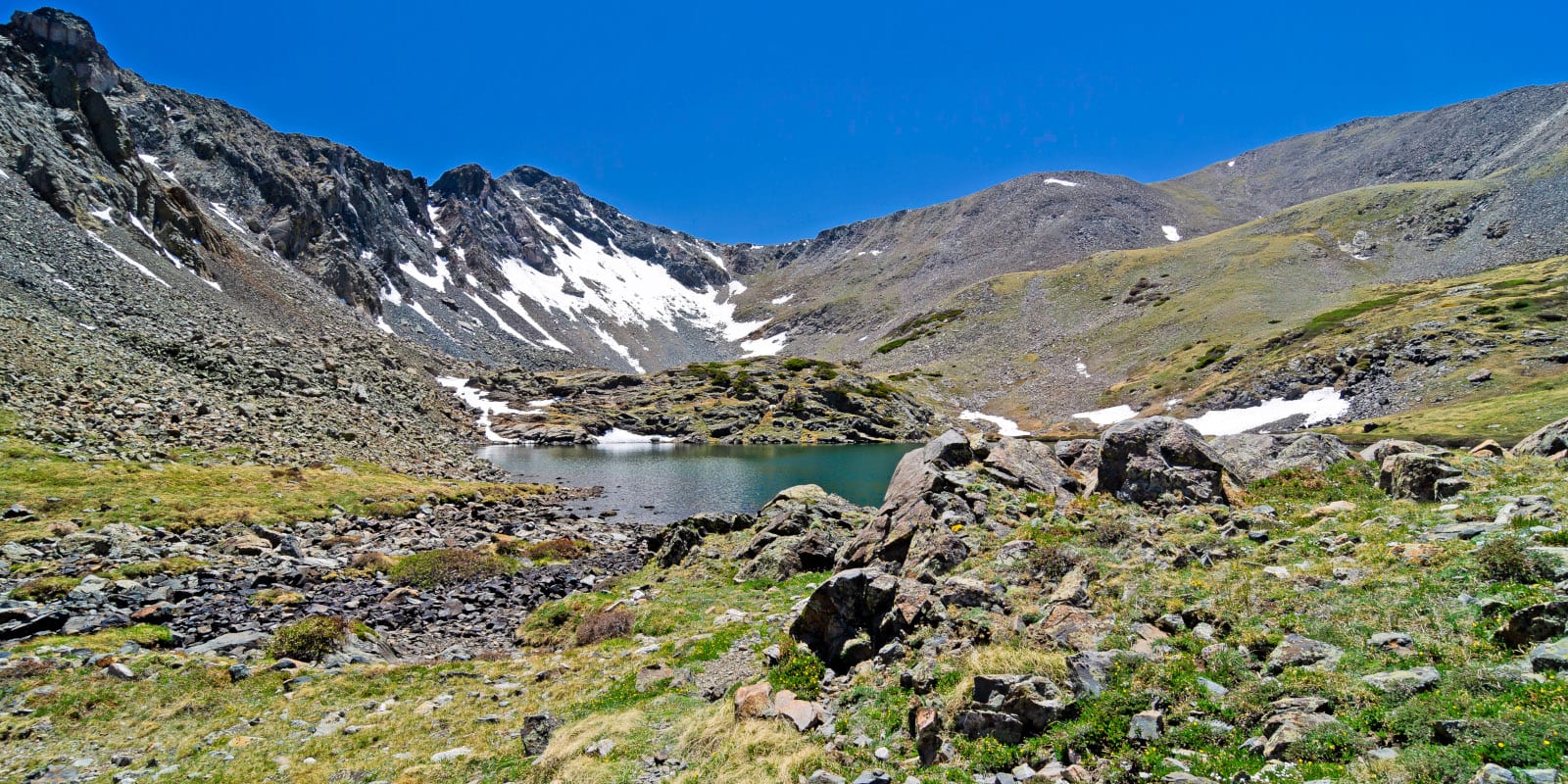
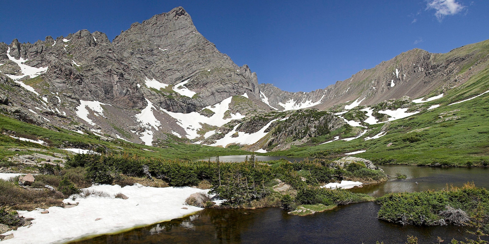
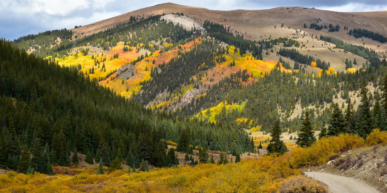
The San Isabel National Forest is loaded with hiking possibilities. You can tackle any one of the 19 14,000-foot mountains in the area, including moderate endeavors like Mt. Elbert in the Sawatch Range, or difficult scrambles like the Crestones in the Sangre De Cristo Mountains. The Continental Divide Trail also weaves through the western part of the forest, from which countless loop options can be created.
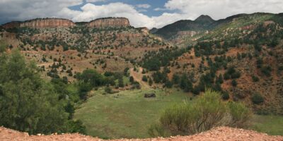
For easier outings, head to the Interlaken historic site near Twin Lakes, the 4 ghost towns of Clear Creek Canyon, or any of the multitude of trails along the road to Independence Pass. The remote Buffalo Peaks Wilderness is known as a wildlife hotspot, and the Spanish Peaks Wilderness contains beautiful trails and fascinating igneous dykes, created when magma forced itself into rock fissures and hardened while the surrounding land eroded.
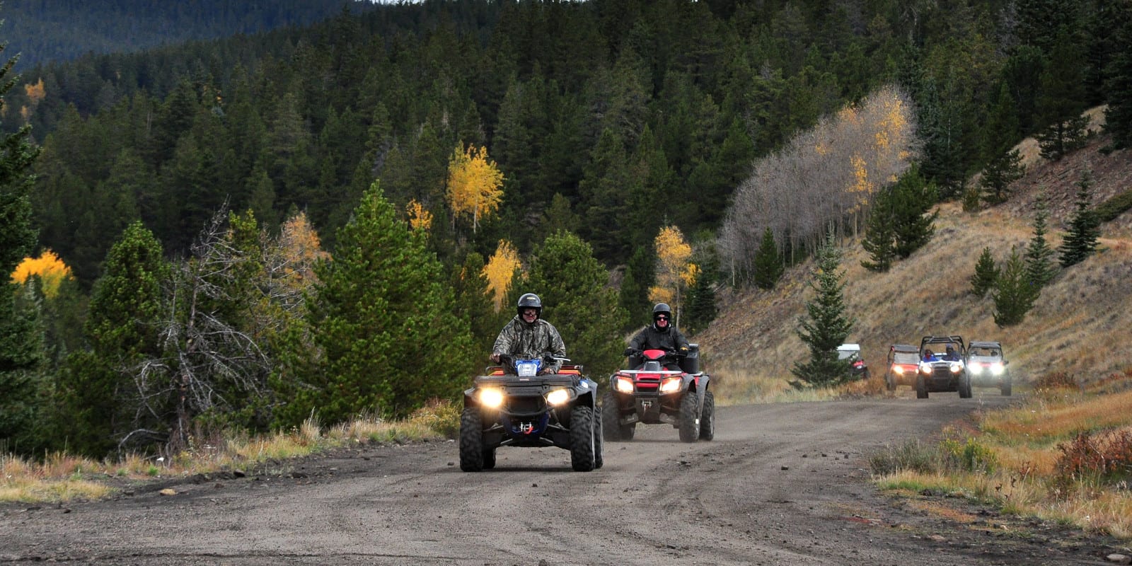
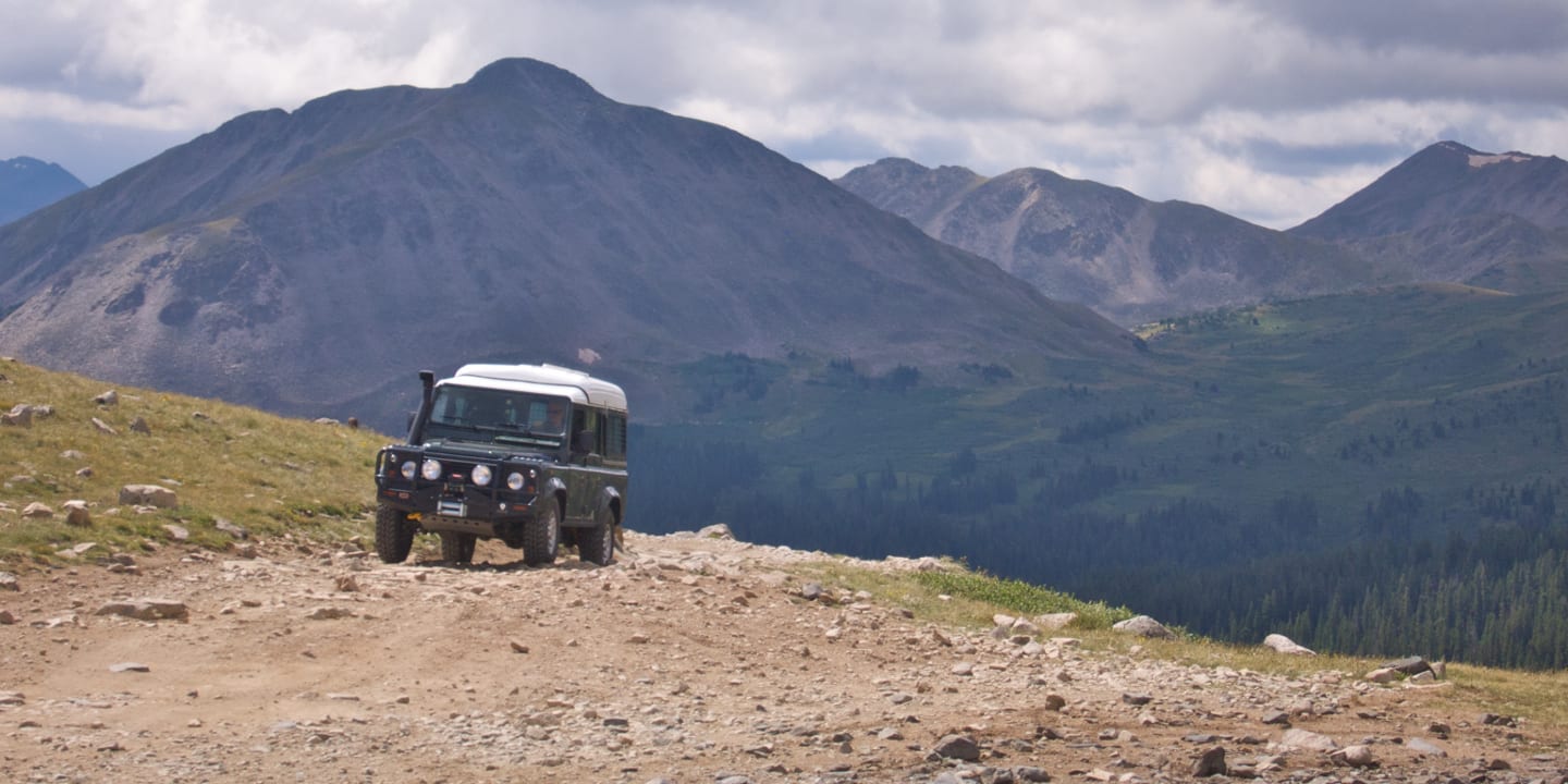
OHV
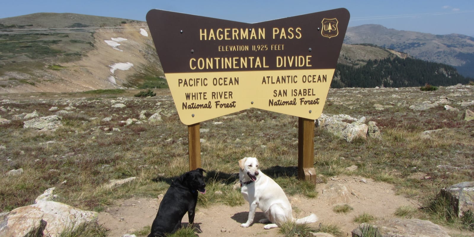
If fantastic offroading trails are of interest, the demanding Hagerman Pass Road, connecting San Isabel with the White River National Forest, should be high on the list. The easier but no less scenic Weston Pass Road, connecting the Leadville area to Fairplay, is another great option with high-alpine views.
More possibilities include Hermit Pass and the eastern approach to Medano Pass in the Sangre De Cristo Mountains, both accessible via the town of Westcliffe. The Trinchera Peak Road near the Spanish Peaks Wilderness is another rewarding albeit difficult off-roading trail to a high alpine pass.
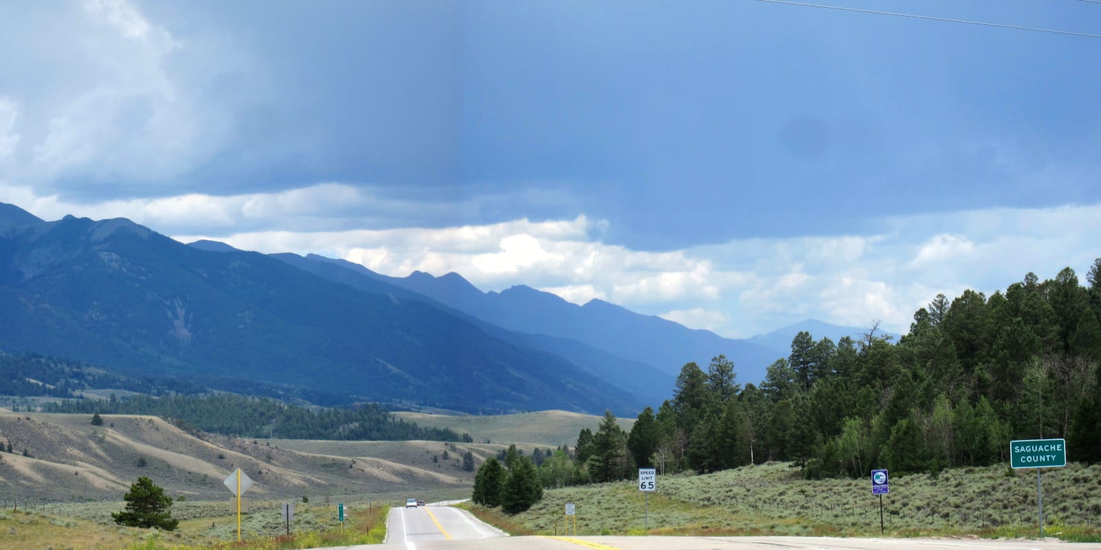
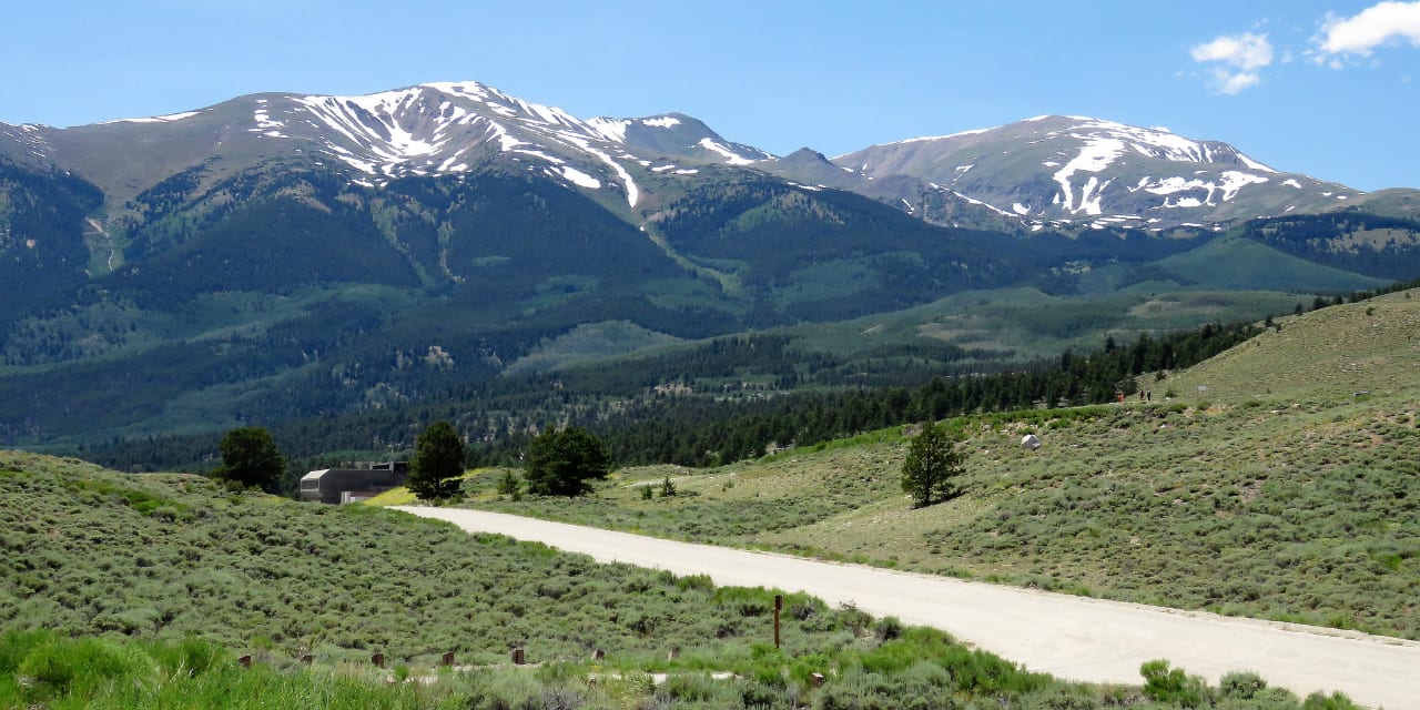
Scenic Drives
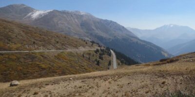
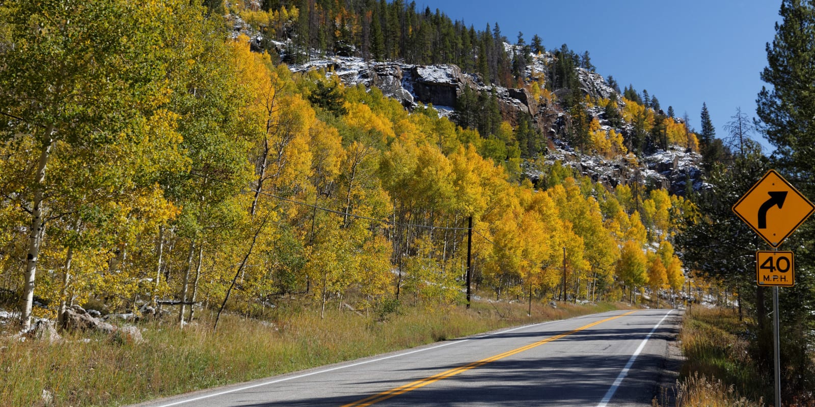
The San Isabel National Forest has its fair share of scenic drives, including the eastern half of the paved Cottonwood Pass, and Independence Pass roads, the latter being a part of the Top of the Rockies Scenic Byway.
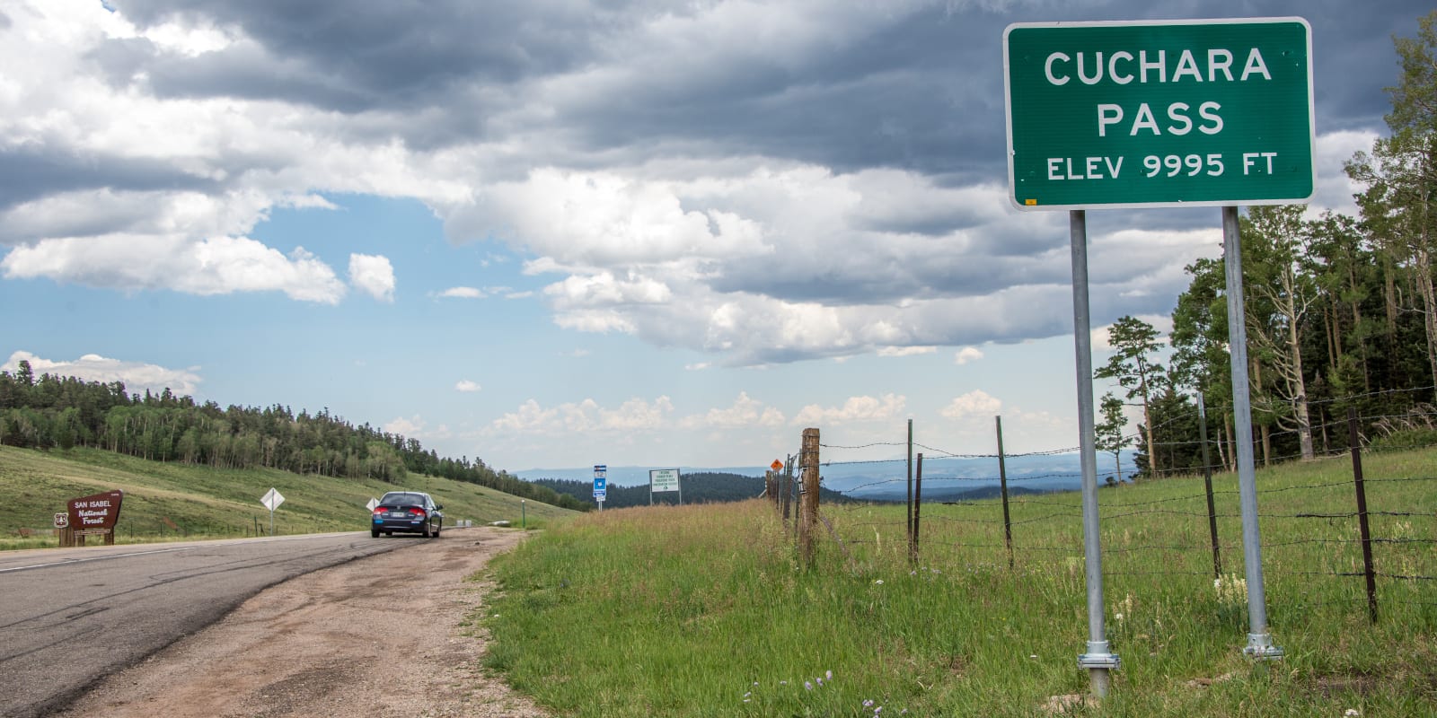
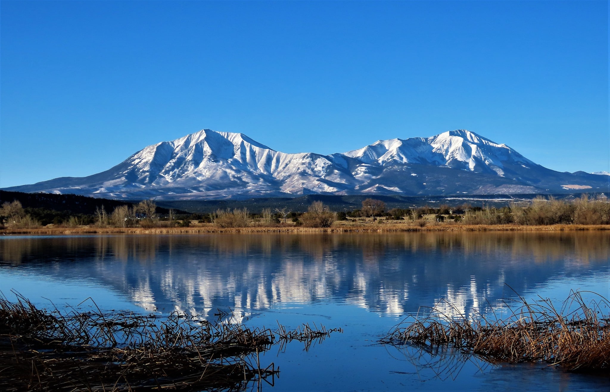
The Frontier Pathways Scenic Byway passes through a portion of the national forest near Westcliffe and the Wet Mountains, offering views, forests, and history along its route. Further south, the Highway of Legends passes through Spanish Peaks country and over the beautiful Cuchara and Cordova Passes.
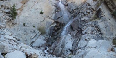
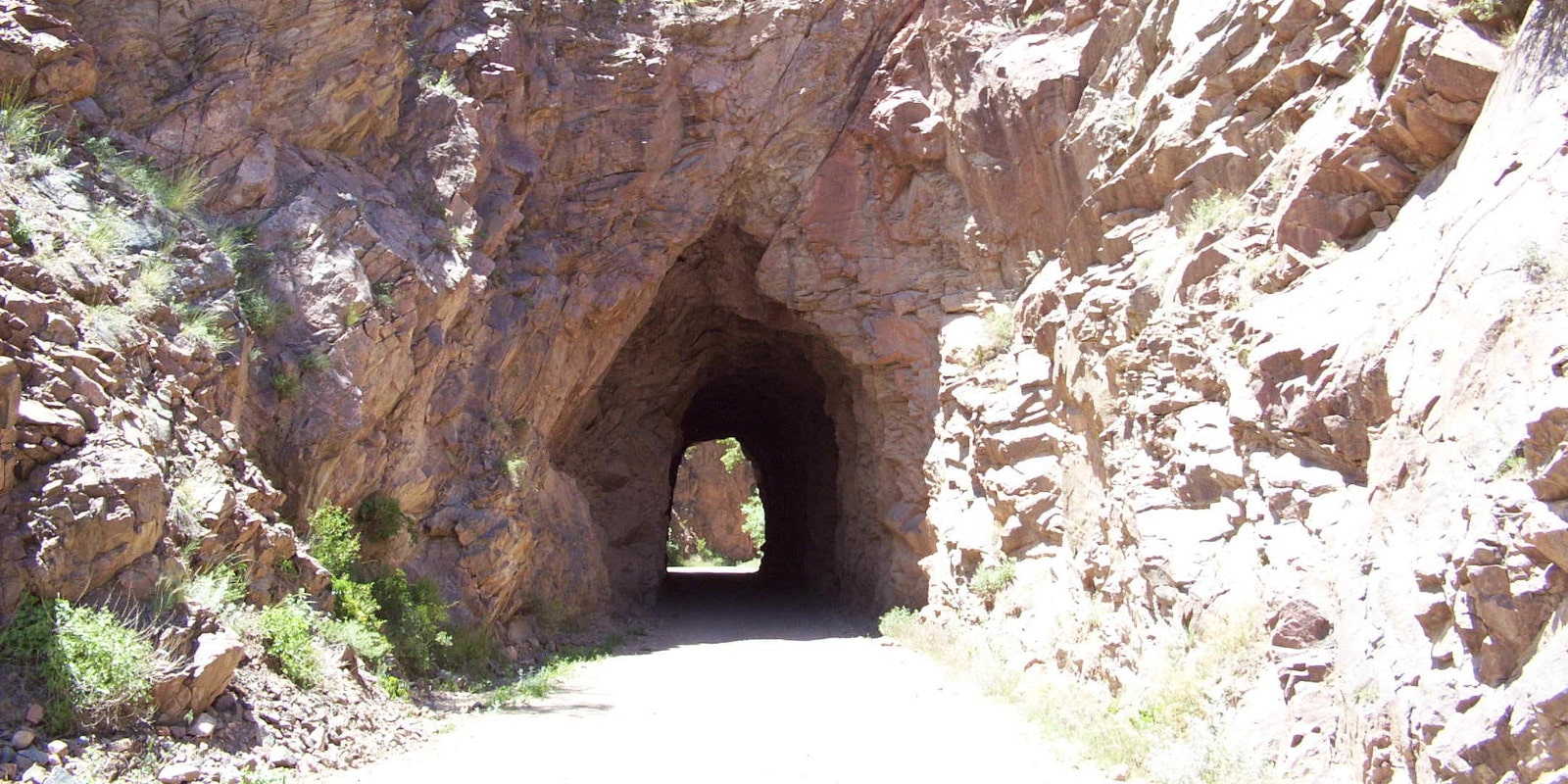
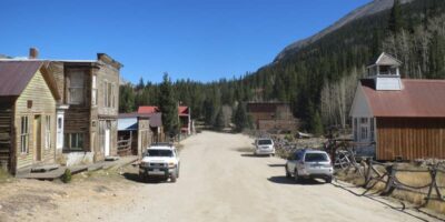
Southwest of Buena Vista, the road into Chalk Creek Canyon (County Road 162) is a delight, with side excursions leading to the small remains of the Hancock ghost town, the beautiful Agnes Vaille Falls, and the well-preserved ghost town of St. Elmo.
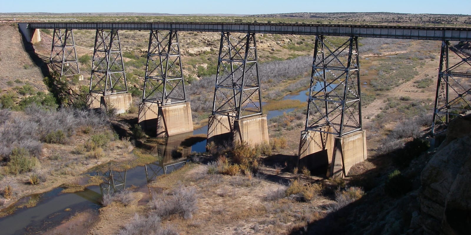
County Road 390, south of Leadville, passes alongside Clear Creek Reservoir, the ghost town of Winfield, the former mining town of Vicksburg, and two massively popular trailheads to the 14,000-foot mountains Belford, Oxford, Missouri, and Huron.
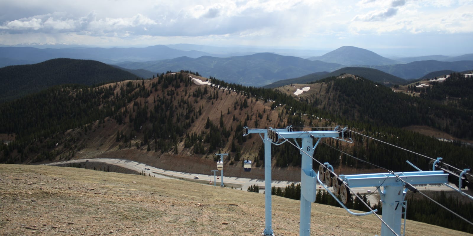
Winter Recreation
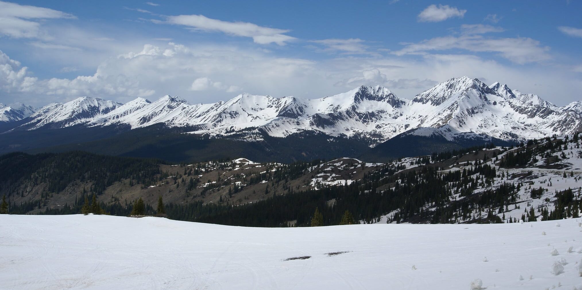
Ski Cooper, lying on the Continental Divide at Tennessee Pass, is a fantastic, under-the-radar resort with family-friendly terrain that relies completely on natural snowfall. Ski Monarch, located west of Salida and near the ultra-famous Monarch Crest, also has some terrific terrain and provides another great alternative to the crowded I-70 corridor.
The Tennessee Pass area contains a series of 10th Mountain Division Huts, which can be rented for backcountry ski excursions in the winter; regional options include the 10th Mountain Hut, Continental Divide Cabin, Point Breeze Cabin, and Vance Cabin.
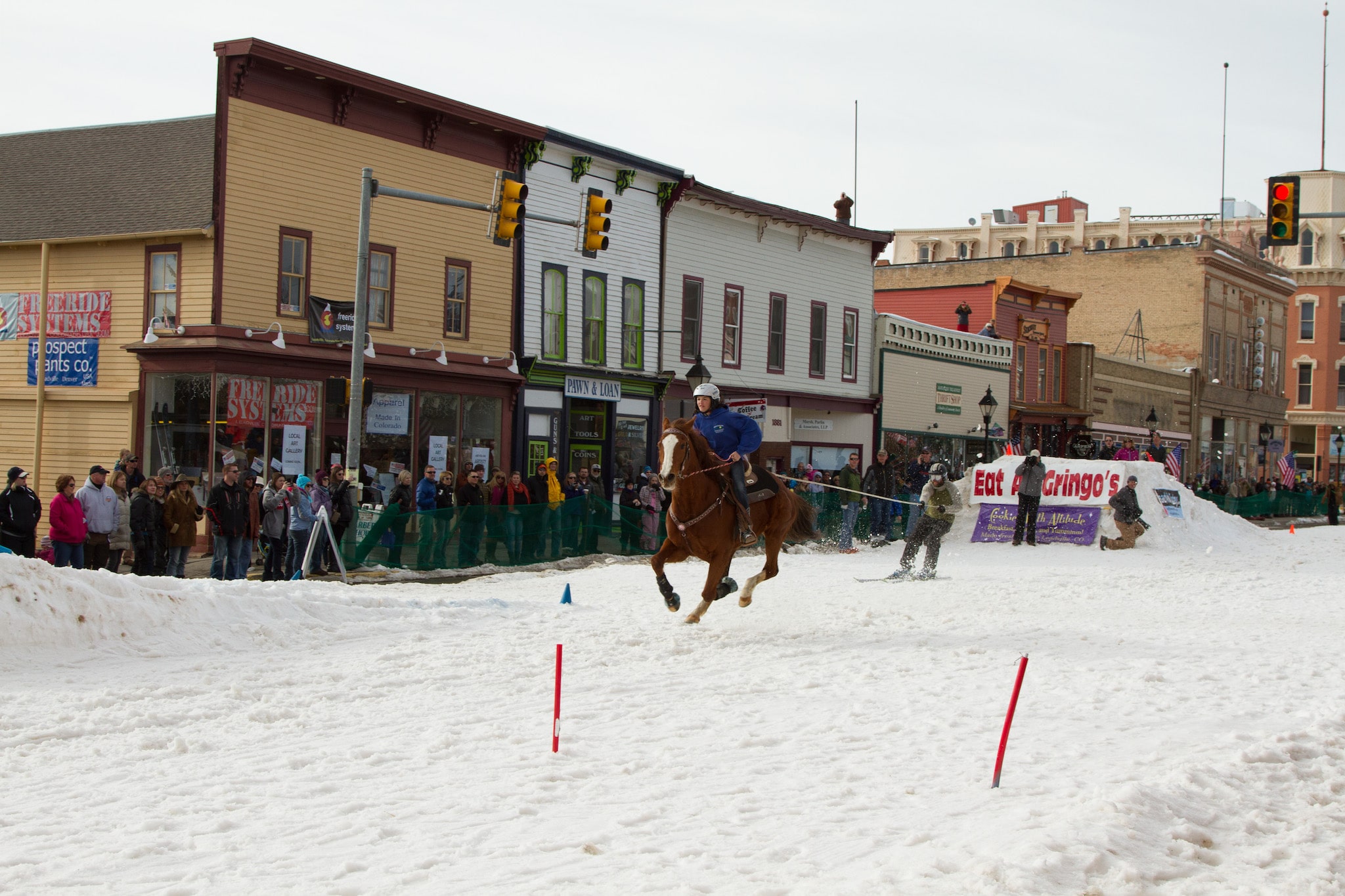
There are also various dogsledding outfits near Leadville, yearly skijoring events, and ice fishing aplenty. A series of Nordic trails in the forest also provides endless entertainment, and snowmobiling is popular from the Spanish Peaks north to the Sawatch Range.
With the highest elevations in the state, San Isabel National Forest contains a lifetime’s worth of exploration within its borders. From the headwaters of the Arkansas River to the rolling beauty of the Greenhorn Mountain Wilderness, outdoor recreationists will be able to find numerous memorable activities to sink their teeth into.
Details
Nearby Towns:
Map: San Isabel (PNG)
Recreation: Biking, Boating, Camping, Fishing, Hiking, Hunting, Picnicking, OHV, Scenic Drives, Cross Country Skiing, Snowmobiling, Snowshoeing
Motor Vehicle Use Maps:
- Leadville (PDF) – Leadville, Buena Vista
- Salida (PDF) – Buena Vista, Poncha Springs, Salida
- San Carlos North (PDF) – Cañon City
- San Carlos South (PDF) – Walsenburg
San Isabel Campgrounds: Reservations
Website: fs.usda.gov/psicc