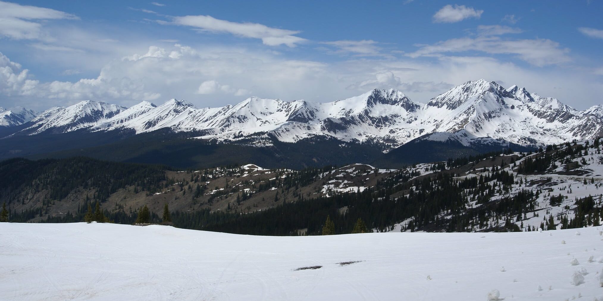
Colorado is home to 15 different primary mountain ranges with the Sawatch Range being one of the more notable ranges within the Rocky Mountains. This range is home to the highest peaks in Colorado and offers some of the most rugged terrain in the state.
Enjoy life above the clouds and below and discover everything you need to know about the Sawatch Mountain Range. Also spelled Saguache, the name Sawatch is drawn from the Ute Indian word
“saguguachipa,” meaning “waters of blue earth.”
This expansive mountain range in central Colorado was formed over 25 million years ago due to violent volcanic eruptions.
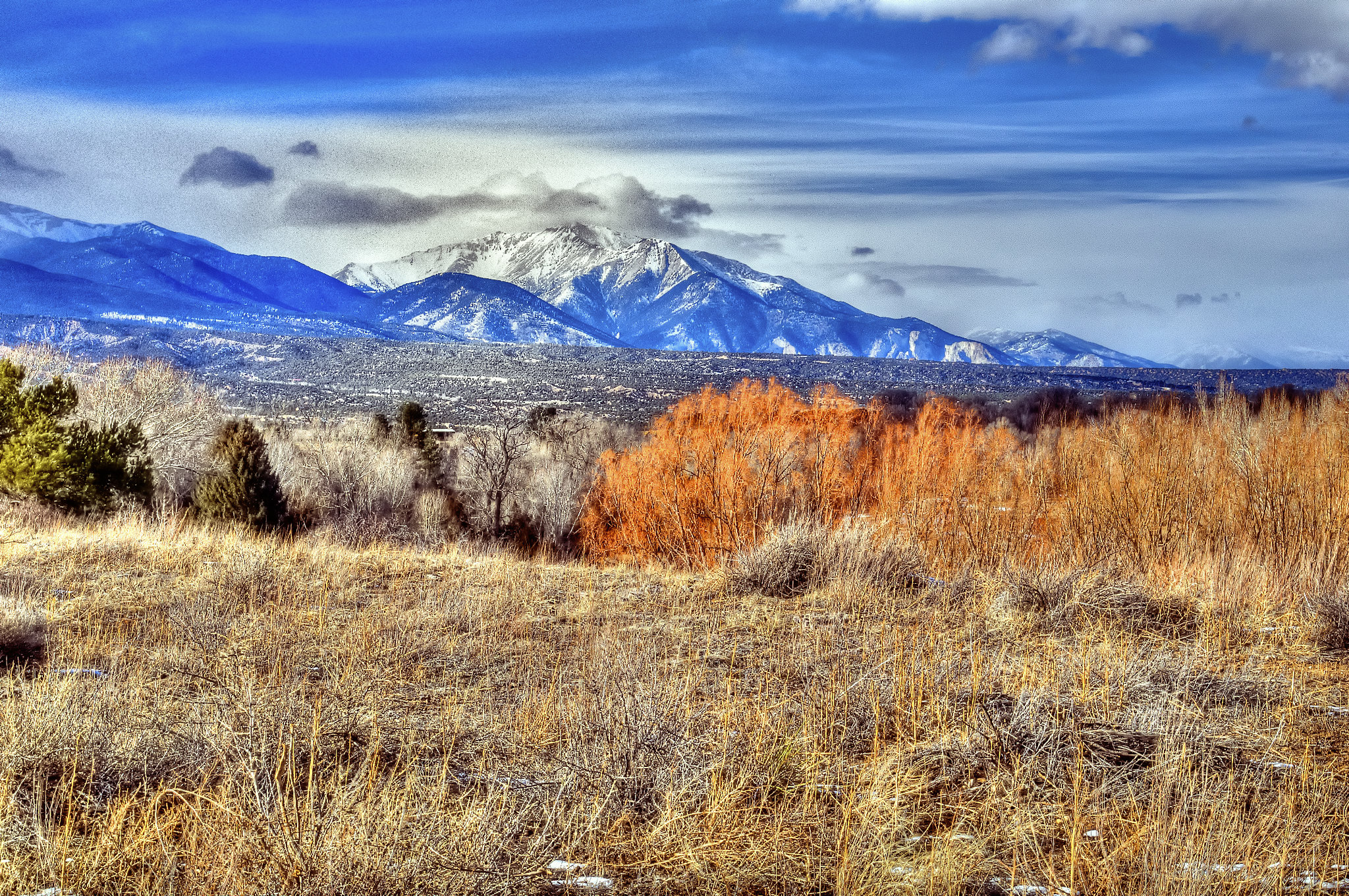
The range forms a part of the Continental Divide. Its eastern side drains to the Arkansas River and its western side drains to the tributaries of the Colorado River, such as the Gunnison River.
A backpacker’s and peak bagger’s paradise, the mountainous range contains 15 of the state’s 54 14ers (mountain peaks reaching 14,000+ feet in elevation), as well as over 300 peaks above 12,000 feet in elevation. With very little of the region resting below 9,000 feet the Sawatch mountains, in general, are high and vast, but relatively gentle in contour.
The range contains the San Isabel National Forest and the White River National Forest. Within the designated forests, some of the state’s most flourishing aspen groves grow here. Its Eastern slope is dominated by Lodgepole pine forest with Blue Spruce and colorful wildflowers guiding the way to life above tree line.
Where is the Sawatch Range?
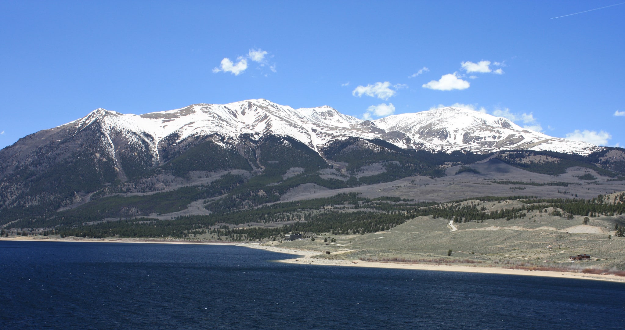
The Sawatch Range lies in central Colorado, extending 80 miles near Vail, down south to the town of Saguache (the alternate spelling of Sawatch) in the San Luis Valley. The range is broken down into the Northern, Central, and Southern regions, which include the towns of Minturn, Leadville, Buena Vista, Salida, Poncha Springs, and Saguache.
Northern Sawatch is the lesser-known part of the range. It’s the smallest as well with only 16 of the 12,000-foot peaks and only one of the range’s 14ers – the famed Mount Holy Cross. This mountainx is the iconic centerpiece of the Holy Cross Wilderness, part of the White River National Forest.
Central Sawatch spans 40 miles long from north to south, containing over half of the range. Within its 1000 square miles of land, it contains 100s of mountain peaks including the Collegiate Peaks, Colorado’s highest peak, Mount Elbert, and La Plata Peak (Colorado’s 5th tallest peak). It is also where the towns of Leadville and Buena Vista reside.
Southern Sawatch contains the largest section of the Continental Divide and is home to four of the range’s 14ers – Mount Princeton, Mount Antero, and the Shavano group (Mount Shavano and Tabegauche Peak). It is also where Monarch Pass traverses the range, at the Monarch Ski Resort. The towns of Salida, Poncha Springs, and Saguache (where the range dips into the San Luis Valley) all reside here.
Activities in the Sawatch Range
All outdoor recreation activities abound within the Sawatch Range. Like most of Colorado, you can find hiking, biking, fishing, camping, skiing, and more in this central mountain range.
Hiking 14,000+ foot peaks
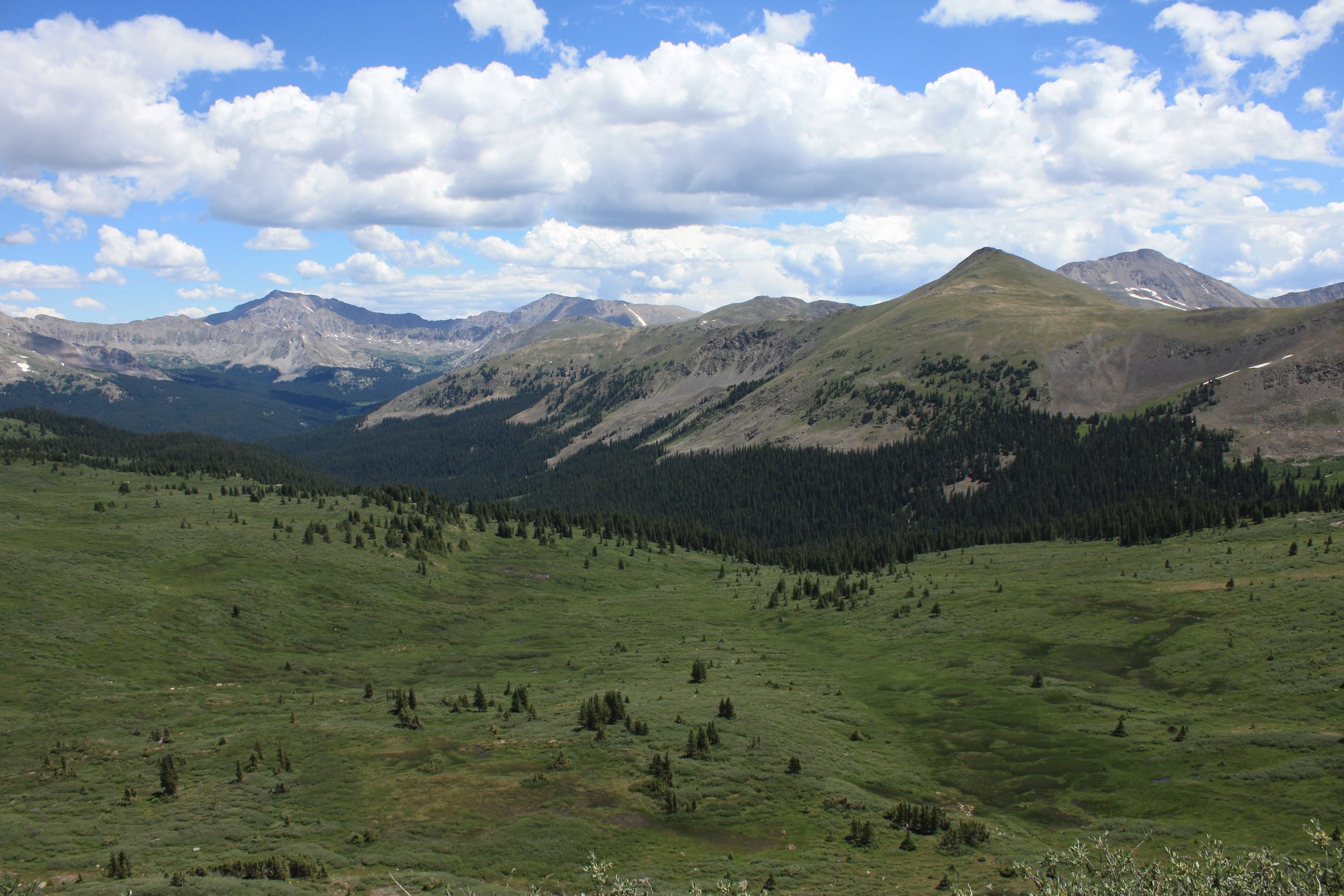
As mentioned above, the Sawatch Range features 15 of Colorado’s 14ers, with eight of the 20 highest peaks in the Rocky Mountains, including Mount Elbert, at 14,440 feet in elevation, which is the highest peak in the Rockies.
A popular activity in Colorado is to summit a 14,000-foot peak, with some even obtaining the goal of hiking them all! Some of the more popular summits in the Sawatch Range include Mount Elbert, Mount Massive, Mount of the Holy Cross, La Plata Peak, and the Collegiate Peaks, which contains Mounts Columbia, Harvard, Princeton, Yale, Belford, and Oxford.
All of the 14er’s feature non-technical routes to the summit, making them approachable for beginners to intermediate hikers and climbers. The summits also have more difficult climbs for those more advanced mountaineers.
Mount Elbert
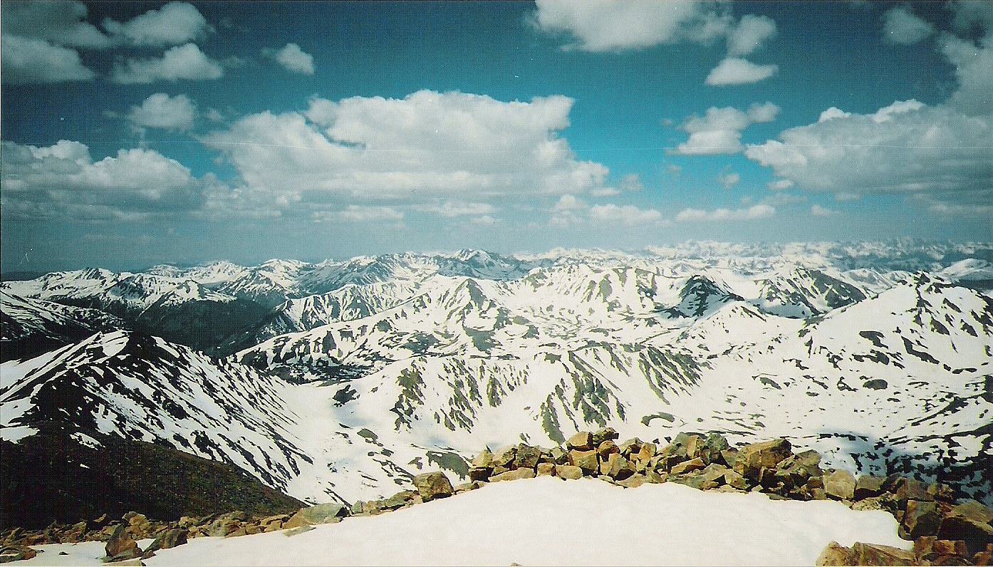
Rising at 14,433, Mount Elbert is Colorado’s highest peak, so summiting this one comes with some real bragging rights. There are five routes to access its summit, all of which are accessible for hikers and climbers of all skill levels.
The two main routes, the South Elbert trail at 5.8 miles and the North Elbert trail at 4.3 miles. South Elbert trail is claimed as the “easiest” route, but still, remember you gain 4,800 feet in elevation, so this hike shouldn’t be taken lightly!
La Plata Peak
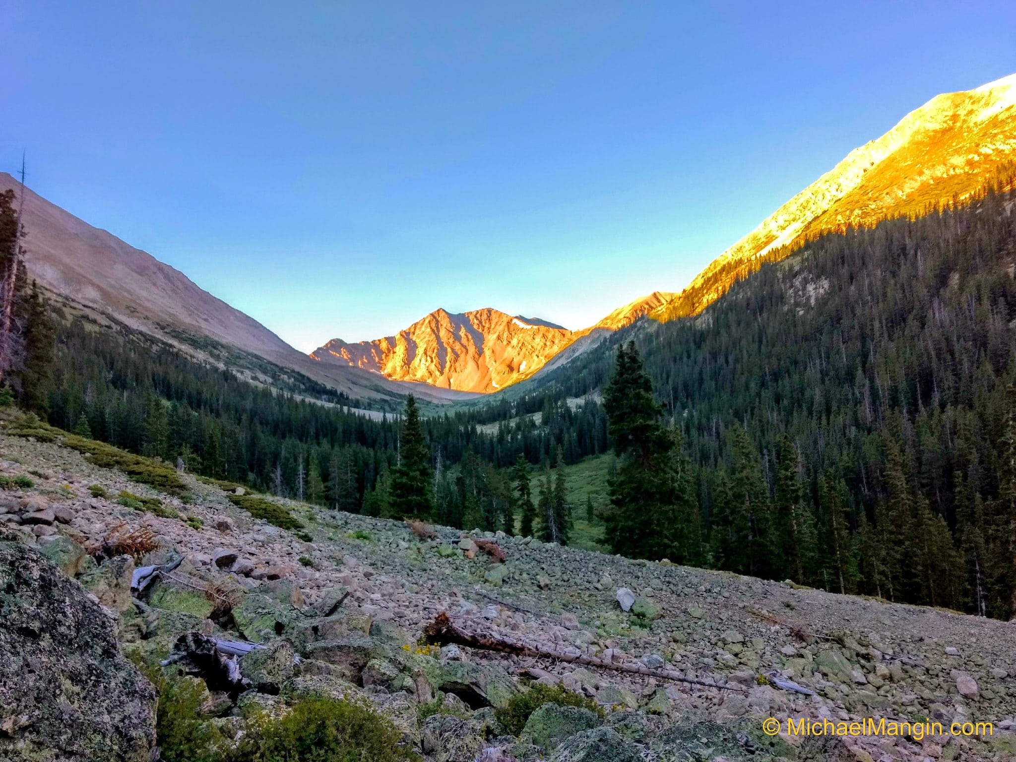
La Plata Peak rises at 14,336 feet as the 5th tallest summit in Colorado. This rugged peak can be accessed by novice hikers and climbers via the 4.3-mile La Plata Gulch Trail. For the more advanced technical climbers, the two-mile Ellingwood Ridge is a haven for adventurous mountaineers.
Mount Massive
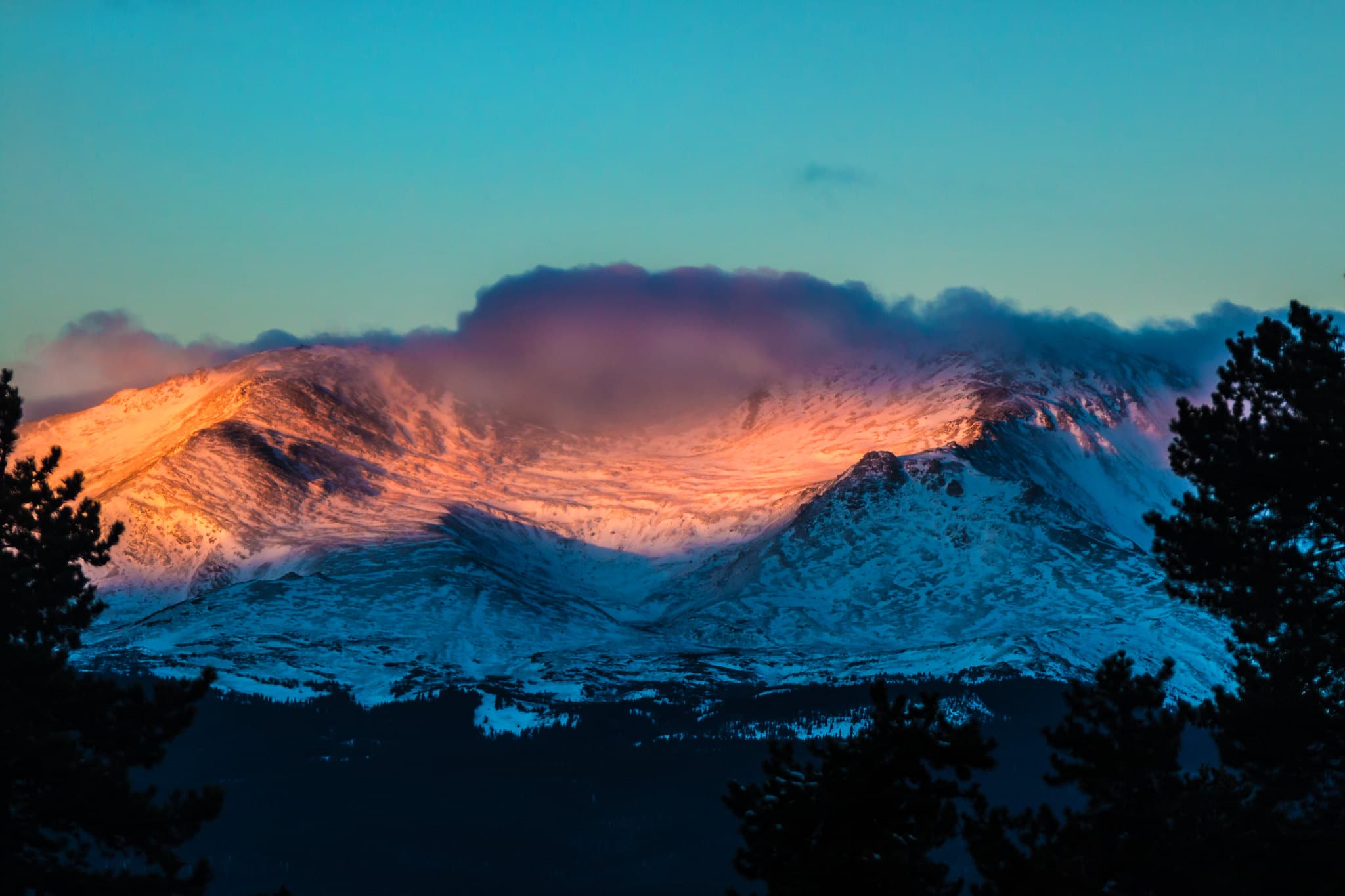
Mount Massive stands at an elevation of 14,421 feet, with many claiming it to be the highest peak in Colorado. So much so, a dedicated group has gone as far as to stack rocks on its summit to outdo its nearby rival, Mount Elbert.
There are five summits above 14,000 feet along a three-mile ridge on Mount Massive, giving it its name “massive.” Many of the ascents are approachable by all, but they are long, so it’s best to prepare for a long day. The main trail is the Mt. Massive Trail on its eastern slopes, near Leadville.
Mount of the Holy Cross
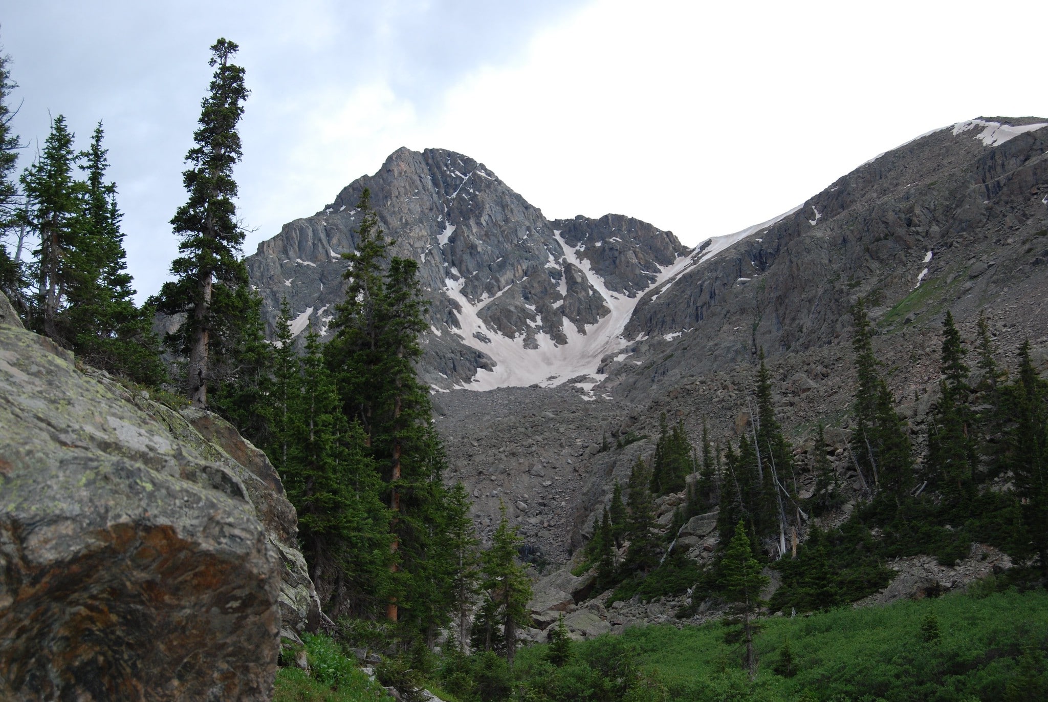
At 14,005 feet, Mount of the Holy Cross barely makes the 14er list. But just because it isn’t one of the tallest, it is certainly one of the more famous peaks in the state. Slightly different in its terrain compared to its counterparts in the Sawatch Range, it is more remote, lush, and rugged, but still accessible to hikers and climbers.
There are several popular routes for summiting Mount Holy Cross. The main trail is the North Ridge with 11.7 miles out and back with a lot of ups and downs. This is a great route for an overnight backpack trip, splitting the route into two days.
Collegiate Peaks
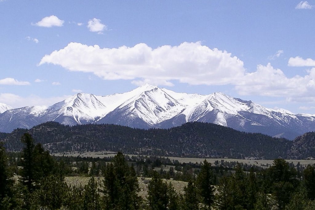
The Collegiate Peaks are a subset of mountains within the Sawatch Range. The name is given for several of its peaks named after Ivy League universities such as Mount Princeton. Popular trails include Huron Peak via North Huron Trail, Mount Yale Summit, and Mount Harvard Trail.
A popular backpacking route is the Collegiate Peak Loop. It is a 160-mile loop that circles the Collegiate Peaks Wildnerness, gaining 39,000 feet in elevation along the route! This is not for the faint of heart but is an unforgettable way to see the entire region.
Other Hiking Trails in the Sawatch Range
If summiting a 14,000-foot mountain peak isn’t your thing, don’t worry, there are plenty of other hiking trails in the Sawatch Range that are just as epic.
Four Pass Loop
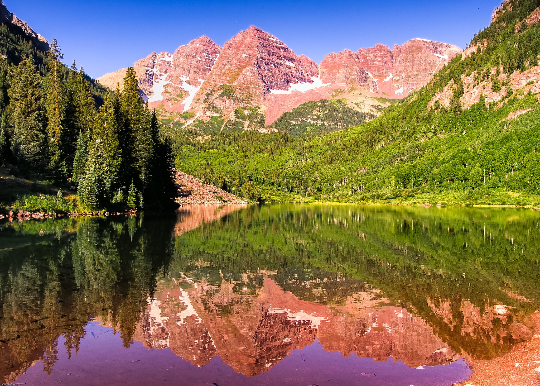
The Four Pass Loop is quite possibly the most popular backpacking route in the state. The difficult 28-mile loop is located in the Maroon Bells-Snowmass Wildnerness and traverses four mountain passes standing over 12,000 feet.
Hiking mostly above tree line, you will be greeted with never-ending mountain views. You can start in either Crested Butte or in Aspen, with the most popular route starting from the Maroon Bells Trailhead. This route takes three to five days and advanced reservations are required due to its popularity.
Missouri Lakes
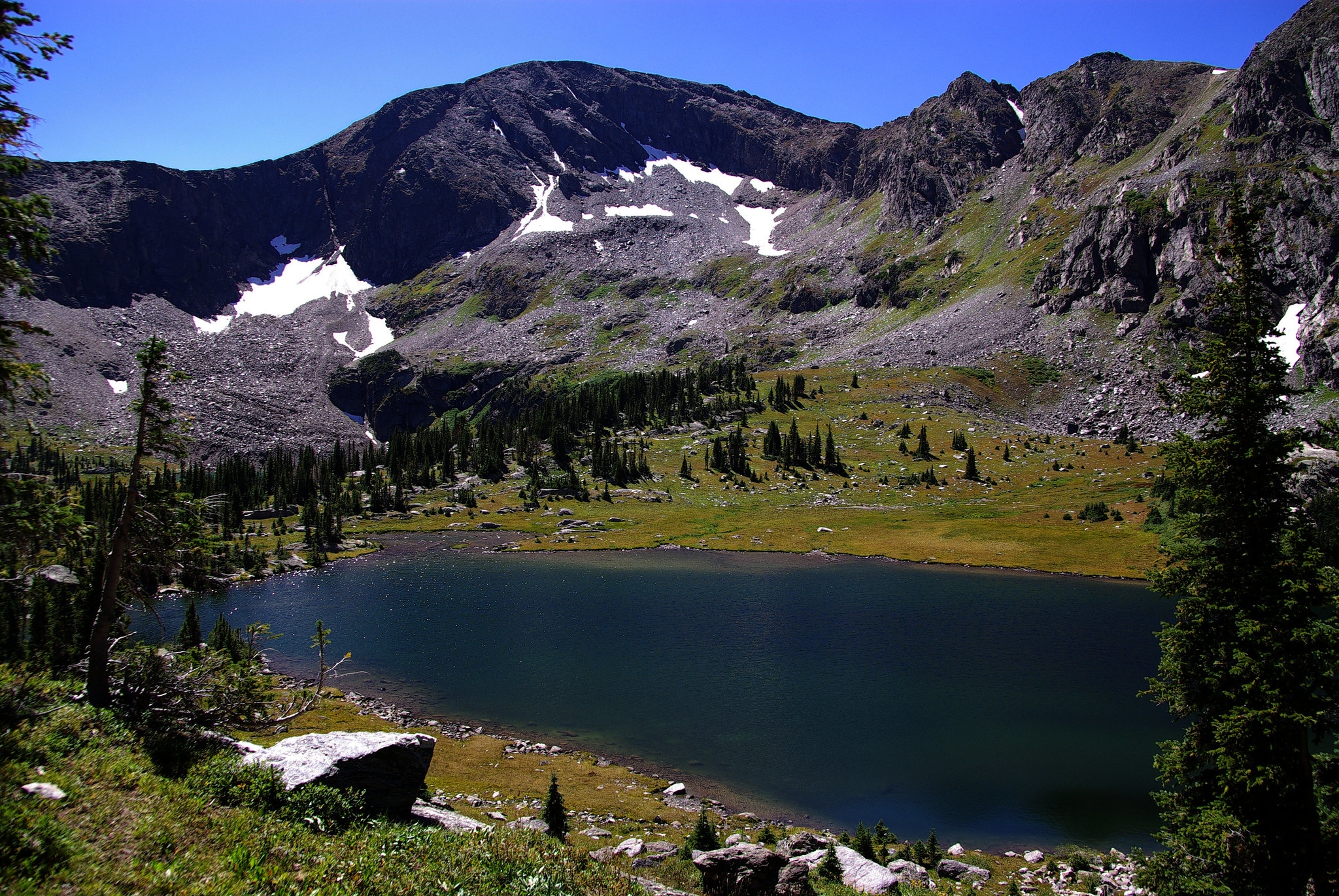
The four Missouri Lakes are an iconic feature of the Holy Cross Wilderness. While they can be reached in an easy day hike, backpacking into that area via the Fancy Creek trail is another fun route. The Missouri Lakes and Fancy Creek Trails form an 8.8-mile loop between Missouri Pass and Fancy Pass.
Cottonwood Pass North
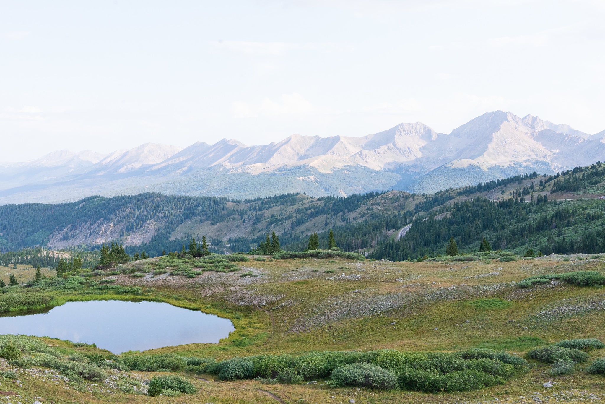
Beginning at the summit of Cottonwood Pass, this trail is easily accessed from the road. The 1.5-mile trail begins at the parking lot at the top of the pass and follows a ridge for as far as you want to go. From here you can see notable peaks such as Mount Harvard, Mount Yale, and the famed Three Apostles.
Drive the Collegiate Peaks Scenic Byway
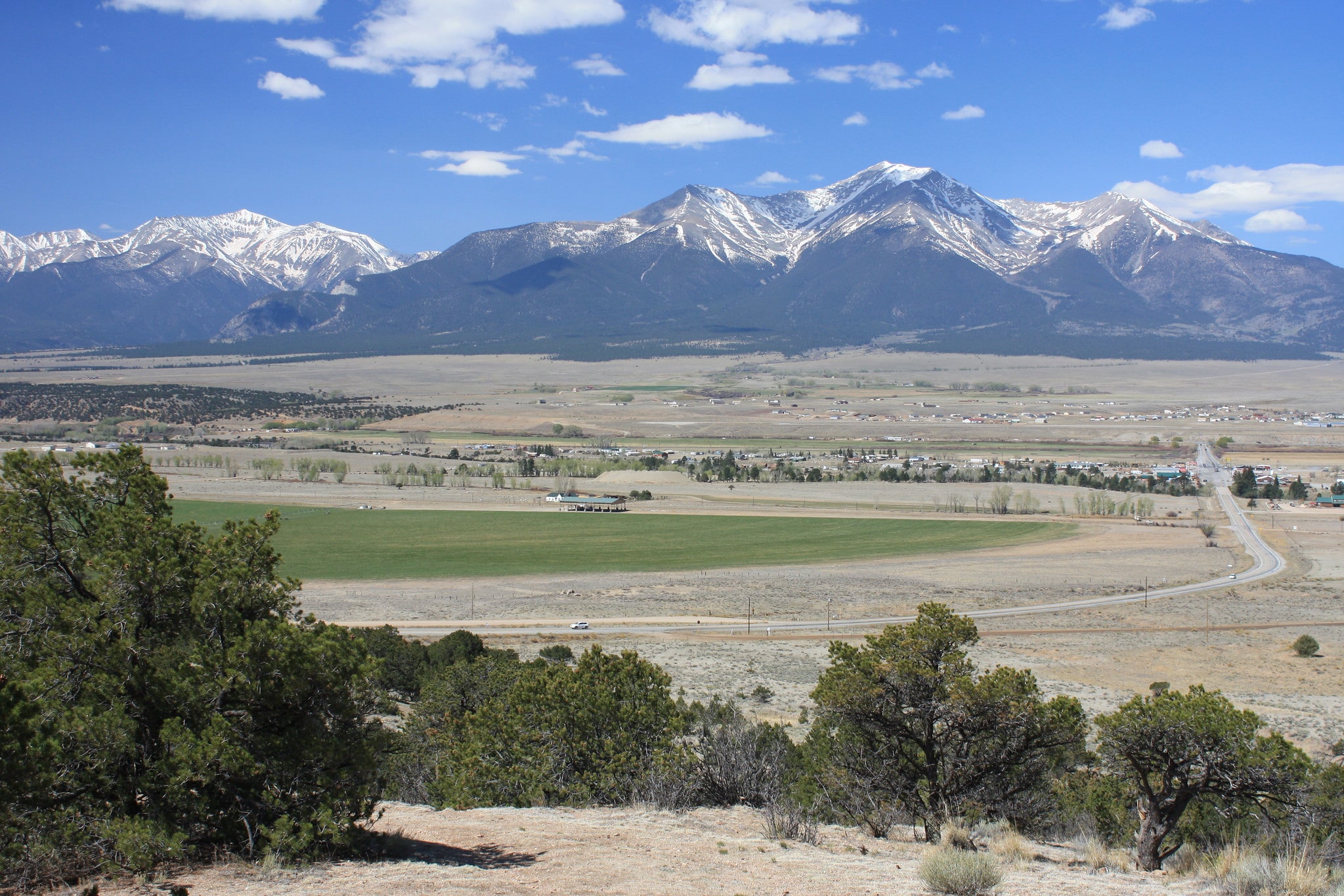
While one of the best ways to explore the mountains of the Sawatch Range is on foot, there are other ways to discover this part of Colorado. The Collegiate Peaks Scenic Byway stretches 57 miles north to south, from Granite to Salida.
Running through the heart of the Collegiate Peaks Wilderness area, you will undoubtedly be met with incredible views the entire way. It takes roughly two hours to complete and connects to other scenic byways of the West Elk Loop and the Top of the Rockies Scenic Byway.
Turquoise Lake and Twin Lakes Reservoir
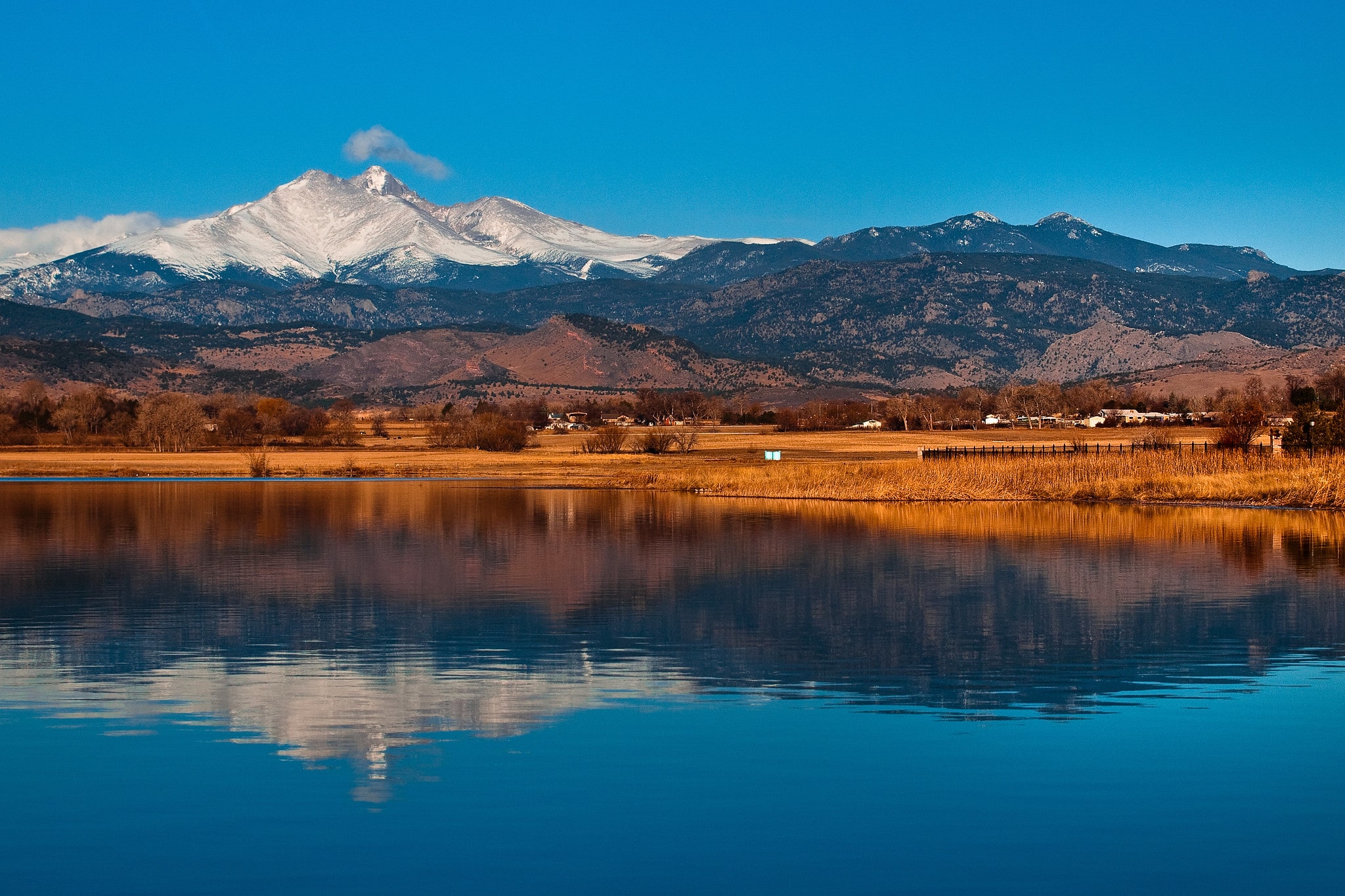
A popular recreation site, located near the town of Leadville, is Turquoise Lake and the Twin Lakes Reservoir features camping and picnic areas. Activities include fishing, hiking, boating, stand-up paddleboarding, and more. Popular trails from here lead to the summit of Mount Elbert.
Biking
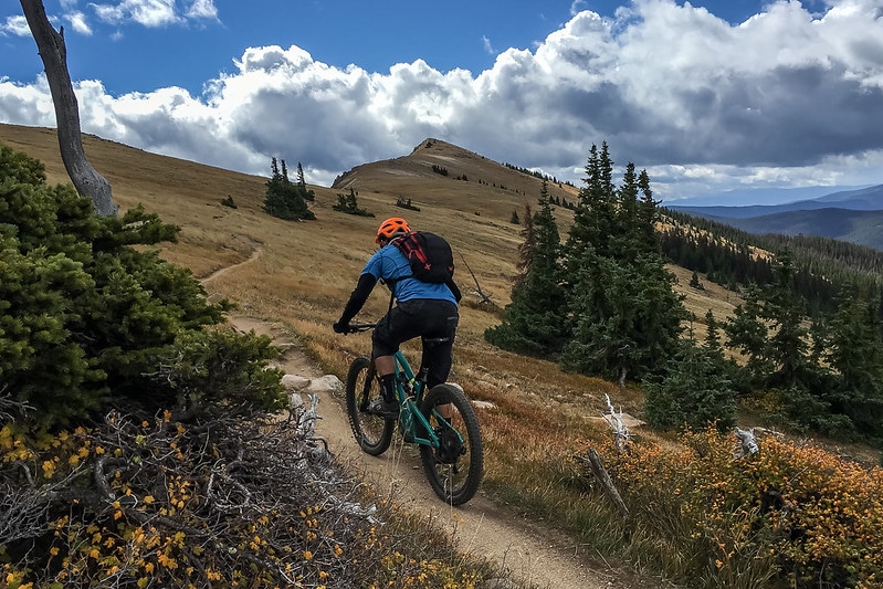
In addition to hiking, the Sawatch Range is home to many popular cycling routes and mountain bike trails. A favorite for road cyclists is Cottonwood Pass. The newly paved west side of the pass makes this route entirely paved, perfect road cyclists. You can reach the summit beginning in Buena Vista, 38.6 miles to the top. Continue past the summit to ride to Crested Butte or Gunnison for a multi-day trip.
For mountain bikers, the Monarch Crest Trail is a classic single-track in Colorado’s high country. From point to point the trail route is 14.5 miles long with an average grade of 4% with 2,000 feet of vertical climbing along the way.
Arkansas River
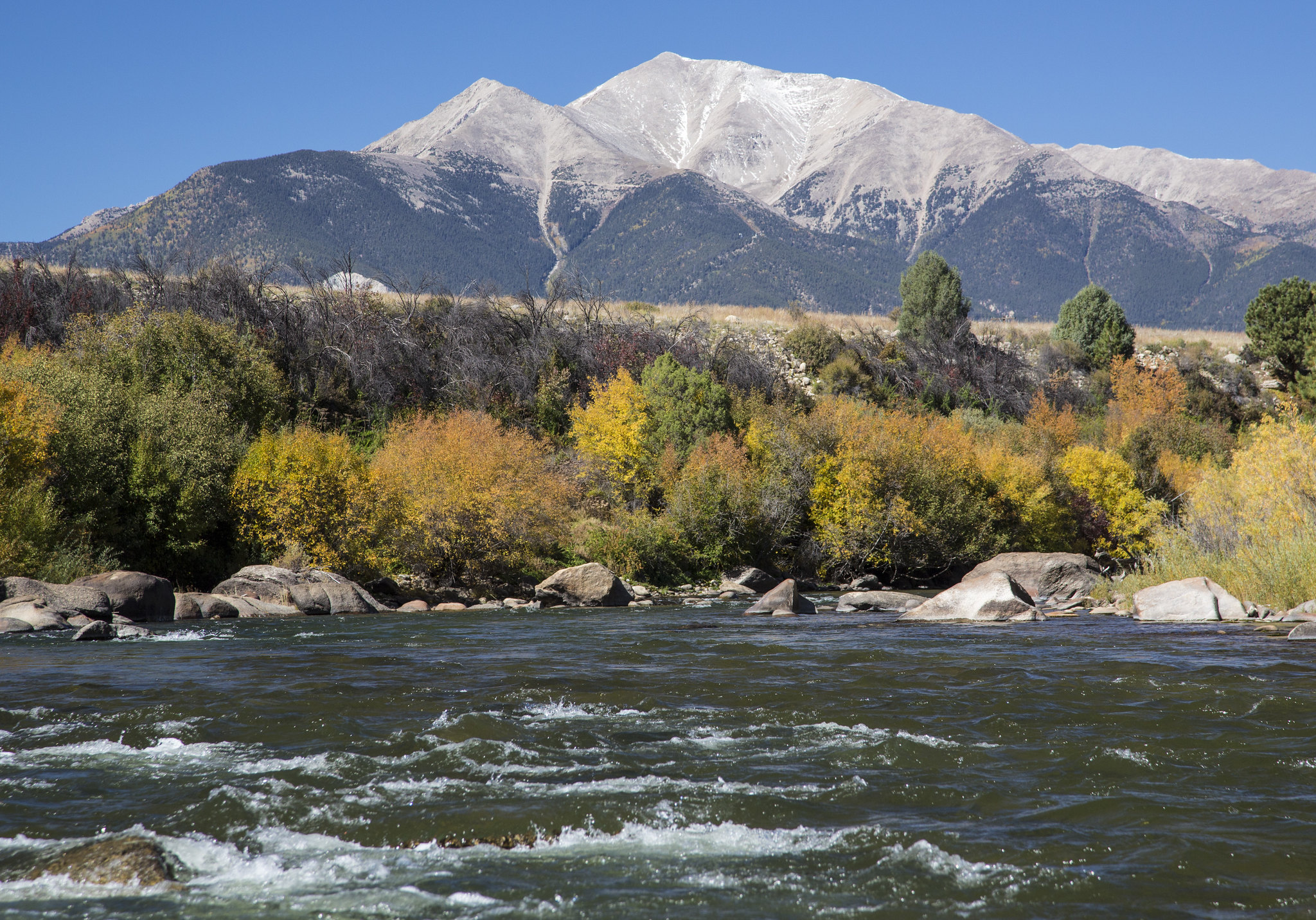
Running parallel to the Sawatch Range, the Arkansas River is fed by the mountain’s snowmelt and makes for a great place to enjoy outdoor activities. A popular activity along the Arkansas River is rafting. Places to put in include Browns Canyon and the technical waters of the Numbers. The towns of Buena Vista and Salida are great jumping-off points for guided raft tours of the Arkansas.
Another popular activity on the Arkansas River is fishing. Anglers will find certified Gold Medal Waters spanning 102 miles. Here you will find some of the best trout fishing in the state with Rainbow, Brown, and Cutthroat being the most abundant.
Getting There
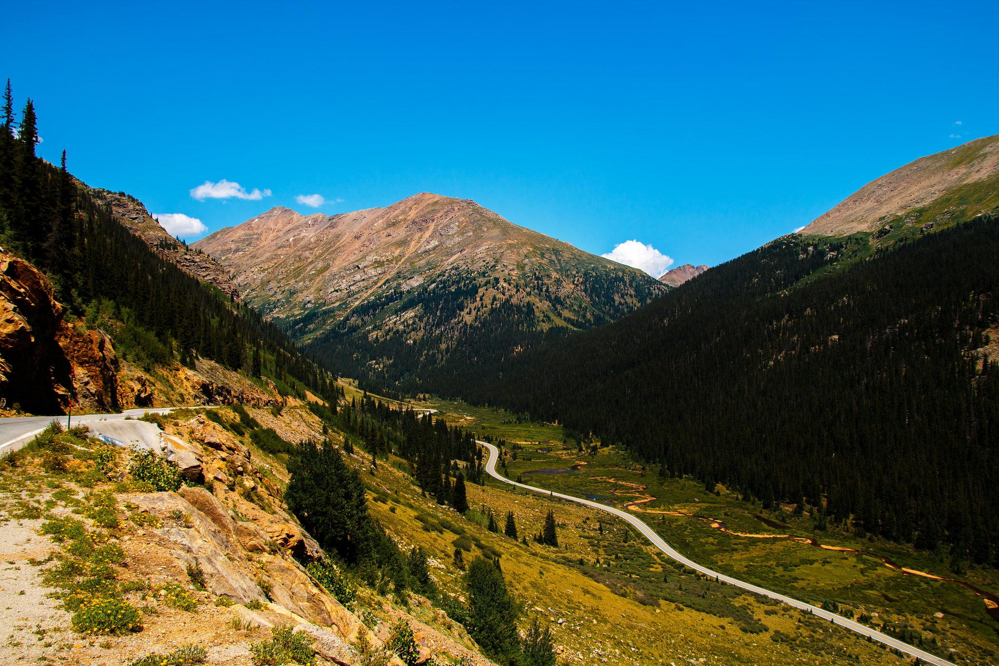
U.S. Highway 24/285, south of Interstate 70, parallels the east side of the Sawatch Range. Two paved roads intersect with the range, HWY 82 (Independence Pass) and HWY 50 (Monarch Pass). It is also traversed by Cottonwood Pass, which connects the town of Buena Vista with Gunnison and Crested Butte.
Both Independence Pass and Cottonwood Pass rest at over 12,000 feet, making them two of the highest passes in Colorado. They are both paved roads and are typically open from late spring to mid-fall, depending on snowfall. Monarch Pass is also paved and is generally open year-round.
No matter how you explore the Sawatch Range of Colorado, it is bound to astound and surprise you with its beauty!
Details
Closest towns:
Season: Year-round
Elevation: 14,440 feet (4,401 meters) – highest point Mt. Elbert

