• Skip to main content
  • Skip to header right navigation
  • Skip to site footer
Uncover Colorado Logo

Free Colorado Travel Guide | Vacations, Travel and Tourism

  • Blog
  • Activities
  • Events
  • Lodging
  • Towns
  • Trip Planner

Culebra Creek – near San Luis

Culebra Creek meanders through the Southern Colorado high countryside
Culebra Creek runs through Costilla County in Southern Colorado. Photo by: Jeffrey Beall

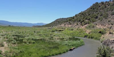
Culebra Creek runs from the Sangre de Cristo Mountains in Southern Colorado for 30 miles until it empties into the River Grande River. It’s also known as the Culebra River, or in Spanish, the Rio de la Culebra.

It crosses parts of the San Luis Valley, a vast high country valley that spans into New Mexico. The river has long been used for irrigation canals by Hispanic settlers in the 1800s, which are still in use in places today.

Culebra Creek meanders through the Southern Colorado high countryside
Culebra Creek is also called Rio Culebra or Rio de la Culebra. Photo by: Jeffrey Beall

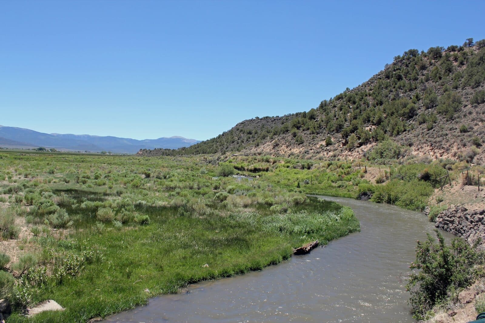
Culebra Peak (14,052 feet) and De Anza Peak (13,340 feet) are considered the highest sources of water fueling Culebra Creek. It runs into the Rio Grande River west of San Luis, Colorado’s oldest continuously inhabited town.

Also, in San Luis, the historic San Luis Bridge crosses over Culebra Creek. It’s now a pedestrian and bicycle-only bridge.

Details

Location: Costilla County, Southern Colorado

Passes through:

  • San Luis
  • San Pablo — an unincorporated community in San Luis
  • Chama

Tributary to: Rio Grande River

Length: 30 miles (48 km)

Sidebar

Recent Posts

  • Top Things Do Do In Breckenridge, Colorado
  • 10 Best Snowcat and Heli Skiing in Colorado
  • 8 Colorado Ski Resorts with Tubing Hills
  • 15 Largest Lakes & Reservoirs in Colorado
  • 20 Best Colorado Ski Resorts for Powder
  • Home
  • About Us
  • Contact Us
  • Privacy Policy
  • Resources
  • Disclaimer—Terms of Service

Copyright © 2026 · Free Colorado Travel Guide | Vacations, Travel and Tourism · All Rights Reserved