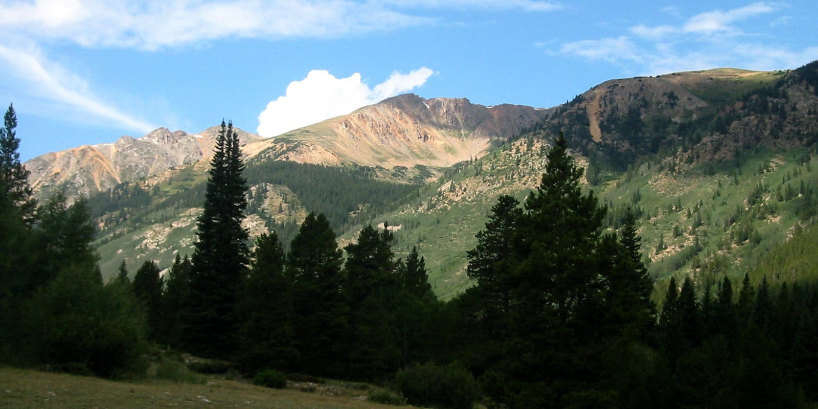
Nestled in the San Isabel National Forest, La Plata (“The Silver”) Peak is a 14,336 ft Class 2 named after the silver deposits throughout the area. Once a prominent location for silver mining, the ghost towns of Hamilton and Winfield offer a step back into history for those who are interested.
Near the towns of Leadville and Buena Vista, many visitors flock to the fifth highest summit of the Rocky Mountains.
Always come prepared – 14ers are notorious for sudden weather changes in the afternoon hours including thunderstorms and high winds. Bring appropriate clothing, plenty of water, and snacks while planning an early rise to set out and return before afternoon storms roll in.
Trail Routes
La Plata Peak has 4 options of trail routes to choose from, one of which is recommended as snow-only. Both Northwest Ridge and Southwest Ridge are Class 2, the snow-only Northface a Difficult Class 2, and Ellingwood Ridge a Class 3.
Northwest Ridge (aka the North Trail Summer Route): The main summer route, about a 9.25-mile roundtrip out-and-back. Going south from Leadville on U.S. 24, take a right onto Colorado 82 for about 14.5 miles. There is a parking area on the left with the trailhead.
Southwest Ridge (aka the Southern Approach): This route can be found by turning west onto Chaffee County Road 390 and continue for a little over 11 miles until reaching Winfield. At the fork, take the right onto a 4WD road, and left at the next road until passing a marked cemetery.
A little beyond that is a loop for parking, farther up on the left is another space for parking, and nearly 2 more miles up the road is a junction people can park at or continue driving a short distance and park near the gate – this is where the trailhead begins. This route is a 7-mile roundtrip.
Ellingwood Ridge: A 9.5-mile roundtrip. To reach the trailhead drive south of Leadville on U.S. 24, go right on Colorado 82, and continue for about 14.5 miles until reaching a parking lot and marked trailhead on the left.
North Face: A 8.75-mile roundtrip snow-only recommended winter route, shares a trailhead with Ellingwood Ridge.
Activities
Backpacking: A great option for enjoying the scenic landscape of La Plata Peak, backpackers can camp anywhere within the public property and take it slow traversing rugged terrain.
Camping: Dispersed camping is free and available throughout the area and campgrounds with fees are nearby.
Read about the camping near Buena Vista and Nathrop.
Hiking: The standard route of Northwest Ridge is heavily trafficked in warmer months and with good reason; La Plata Peak is a fairly easy mountain to summit and its close proximity to both Buena Vista and Leadville make this a prime location for locals and tourists alike.
Mountaineering: Scrambling, rock climbing, and snow-shoeing are all excellent ways for visitors to spend their time here. Depending on the season, challenges in terrain and weather can bring excitement to any pro mountaineer providing they have the proper equipment.
Details
Address: San Isabel National Forest, Chaffee County, CO
Nearby Towns:
Elevation: 14,336 ft (4370 meters)
Pets: Yes – on leash
Season: Year-round