Colorado’s rich history of the railroad system is made evident throughout many parts of the state. One of the more impressive historical displays of Colorado’s old rail system is the Alpine Tunnel.
Located near Pitkin, CO, the Alpine Tunnel was once the highest railroad tunnel in the world. No longer active, it remains today as one of the highest closed railway lines in North America, sitting at 11,523 feet. As the first tunnel to cross the Continental Divide, it was a true innovator of its time.
Visitors today can hike the original narrow-gauge railroad bed that led to the Alpine Tunnel and uncover for themselves the history of Colorado’s railway system.
History of Alpine Tunnel
The Denver South Park and Pacific Railroad, the same railroad that connected Como to Breckenridge via what is now Boreas Pass, started construction to connect the towns of St. Elmo and Pitkin. It was also believed the area would be the next “big thing” in mining with its mineral-rich terrain. As many as 10,000 men, at varied times, worked to construct the rail line and tunnel.
Excavation of the tunnel began in 1880 with a six-month completion deadline. High hopes were soon diminished when a half of a year had past, and realization set in that the project would take much longer. Two years later, in 1882 the first narrow-gauge rail came through the tunnel. Extending 1,772 feet in length and over two miles above sea level, the tunnel was an engineering marvel that was the first of its kind.
Over the years the railway system and tunnel served as both a convenient way to get supplies and mail across the treacherous passes of Tin Cup, Taylor, and Altman and a sight-seeing vehicle for locals in the area who wanted to explore life up high. Because of its location in the high country, the train depot and tunnel faced harsh conditions and destructive natural events, eventually causing the closure of the railway in November of 1910.
What to see from the West Portal
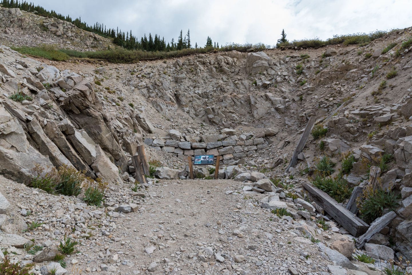
While both the east side and west side of the tunnel are now buried in rubble, the West Portal to the tunnel still provides a peek into the past of its early prosperous years.
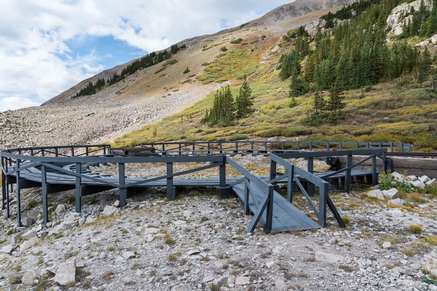
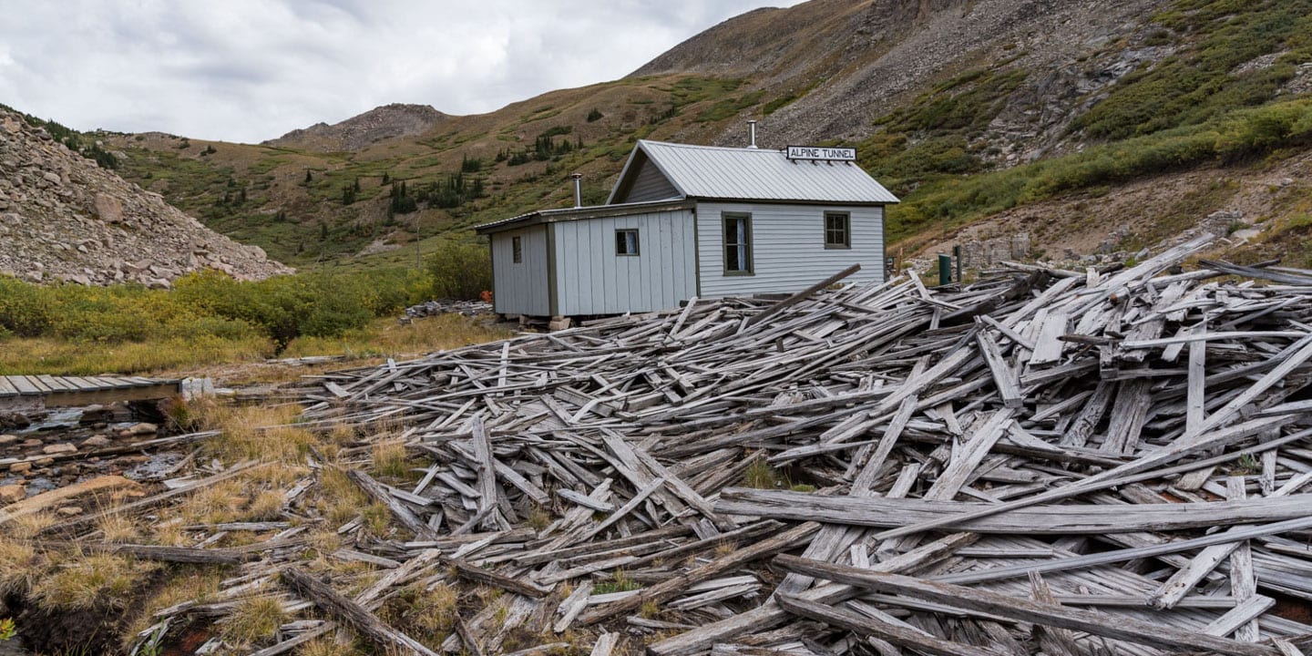
As the trail comes to an end you will be greeted by a large wooden replica of the tunnel structure, built to give perspective of how high the tunnel once stood. Just beyond is the Alpine Station, where pieces of the past have been restored for viewing pleasure. The old engine house, telegraph office, railroad roundtable, and even the original outhouse still stands due to efforts put forth by volunteers, who make a visit at least once a year to repair damages.
Take the time to explore what remains from this once-bustling train station and uncover a piece of Colorado’s legendary history. On the opposing side of the former Alpine Tunnel is Hancock, a ghost town you can access driving south from Saint Elmo five minutes on the eastern side of the Divide.
Camping at the Alpine Tunnel
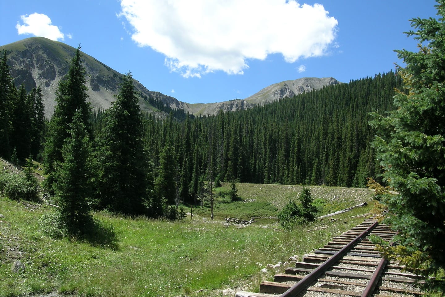
There are several dispersed camping spots along the Alpine Tunnel Road and along Middle Quartz Creek. Be sure to look for a spot with an already set fire-ring. One great camping spot is next to Sherrod Loop, below one of the historic markers for the railway, where you can still see remnants of the original railroad.
Trail details
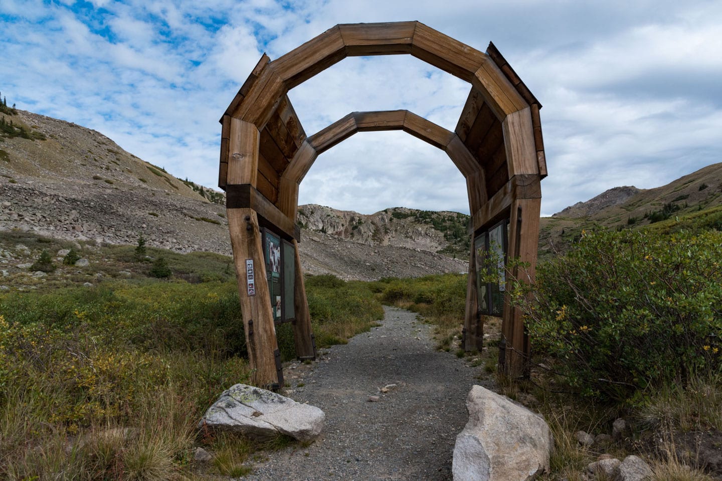
The trail is fairly flat and wide with minimal elevation gain. It is mostly exposed, so make sure to bring necessary sun protection and water. Along the trail, visitors can enjoy views of expansive mountain peaks and the Gunnison National Forest, all complemented by towering rock walls on the other side of the trail.
Distance: 5.6 miles
Elevation gain: 544 feet
Trail type: Out and back
Getting there
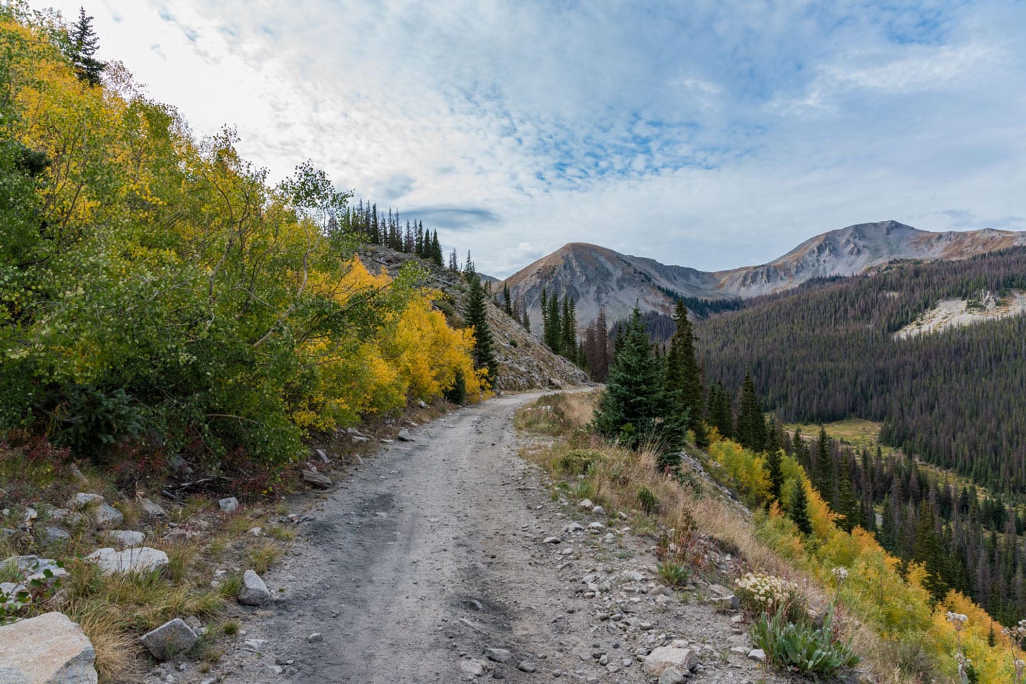
To access the west side of the tunnel, begin your trip by arriving at Pitkin, CO by turning Northeast from HWY 50 onto Co rd. 76, first passing through Ohio City. Continue through the town of Pitkin to catch Cumberland Pass Road (FDR 765) to the intersection of the Alpine Tunnel Road (FDR 839).
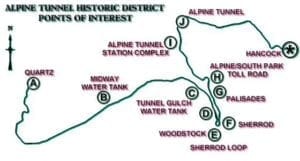
Along the route, visitors will pass notable sites such as the Tunnel Gulch water tank and the old ghost towns of Woodstock, Quartz, and Sherrod. At the Sherrod Loop, you will reach a three-mile-long ATV trail that leads to the tunnel site. While the road doesn’t require four-wheel drive, it is a bit rough so make sure you have a decent high-clearance vehicle.
Note: due to a recent rock slide the road is not passable with a vehicle or ATV but hiking it is completely doable. Check the website for more updates on clearance for vehicles beyond this point.

 Balanced Rock in the Garden of the Gods