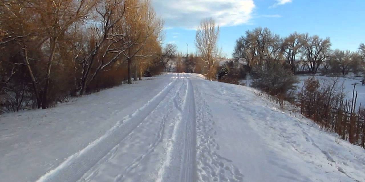
A preferred and beloved recreational area of Coloradans, Highline Canal Trail, is a beautiful long trail adjacent to Highline Canal, a man-made waterway originally used for irrigation. While the canal still serves its purpose for some, today, the trail is much favored by hikers, cyclists, equestrians, and wildlife enthusiasts who desire nature inside the metro.
This National Landmark Trail stretches for 71 miles, making it one of the longest urban trails in the country. Highline Canal Trail is a greenway, fitness-type trail that meanders from Waterton Canyon in Douglas County to Green Valley Ranch in Northeast Denver while passing through multiple communities in different counties.
Hiking the National Recreation Trail
Accessing the trail is not difficult at all, it has multiple trailheads and parking areas and multiple parks with recreation facilities to make your hike even more pleasing. For those planning to explore the area, there are also several connecting trails along the way.
Now let’s go over the trail from end to end quickly. Don’t worry about getting sidetracked, there are established mile markers along the trail to keep you on track. Highline Canal NRT is divided into four main sections.
The first section is 16 miles long beginning at the main trail headgate at Diversion Dam above Waterton Canyon to County Line Road, the boundary between Douglas and Arapahoe counties. It passes Historic Kassler Center at 1.6 miles, Chatfield State Park at 6.8 miles, Fly’n B Park 14.8 miles, and a junction to Centennial Bike Trail just yards away from the park.
The path in this section is sandy and wildlife is abundant in this area. The second section traverses from the County Line Road to Hampden Avenue and is 18.5 miles long.
Notable areas on this section are Writers Vista Park at 17.9 miles, a junction to Lee Gulch Trail at the twentieth-mile marker, Milliken Park at 23.1 miles, deKoevend Park at 24.1 miles, Big and Little Dry Creek Trail junctions at 24.6 and 29 miles. Greenwood Gulch Trail junction at 31.5 miles, Blackmer Common at 33 miles, Quincy Farm at 33.8 miles, and Three Pond Park at 35 miles.
The third section stretches through the urban areas of Hampden Avenue to Havana Street in a 13 mile long paved path. It passes Bible Park at 41.8 miles, Cherry Creek Trail junction at 44.5 miles, and Fairmount Cemetery at 47.5 miles.
The fourth section is the longest. It is 21 miles long between Havana Road and Green Valley Ranch. The first 13 miles on this section is paved, it is followed by an unmaintained dirt road near its end.
Here, you will pass through Westerly Creek Trail junction and Expo Park at 50 miles, Delaney Farms at 54.3 miles, West Tollgate Creek Trails junction at 54.6 miles, Star K Ranch Open Space at 59 miles, Triple Creek Connection at 60.7 miles, and the Dry Dock Brewery, North Dock at 62.4 miles.
Tip for hiking the Highline Canal Trail
Highline Canal National Recreation Trail is wonderful and is shaded for most parts. To make your hike even better, remember these few reminders.
The trail is open year-round from 5 am to 11 pm. Leashed pets are allowed but unauthorized motor vehicles, as well as swimming and other water activities, are strictly prohibited. To know more about the trail’s regulations, check with the local municipality where you want to access the trail for parking information and the use of horses and picnicking rules.
Getting There
Follow CO State Highway 121 S/S Wadsworth Boulevard. Then turn left onto Waterton Road to Kassler Center. Parking is at Discovery Pavilion or at Waterton Canyon.
Details
Nearby Towns:
Season: Year-round
Website: nrtdatabase.org…

