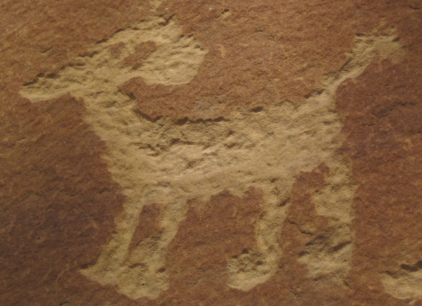
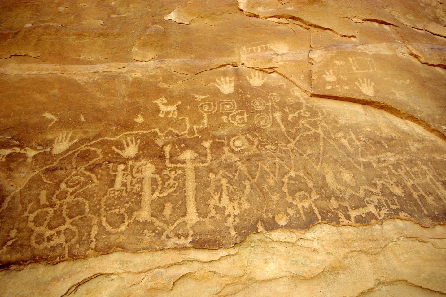
Outdoor adventure, wildlife observation, and heritage appreciation- those are just three of many things you can do at Petroglyph Point National Recreation Trail. This enthralling interpretive nature trail, designated as a National Recreation Trail in 1982, will surely be loved by those with an interest in Native American history. The trail features petroglyph rock art and ruins of the Ancient Puebloan.
Hiking the National Recreation Trail

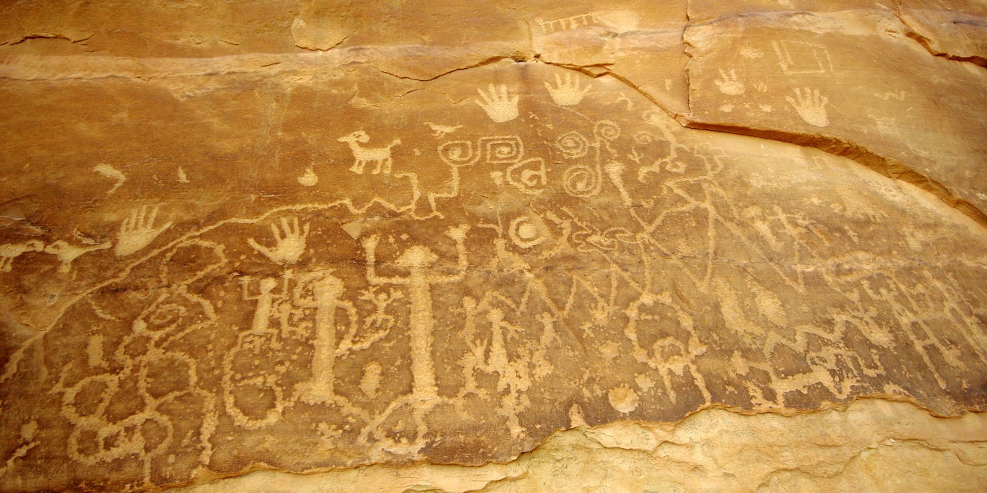
Though this loop trail stretches for only 2.4 miles, it’s the second-longest trail inside Mesa Verde National Park. Petroglyph Point stands as the largest petroglyph panel in this national park. This moderately trafficked trail is fairly easy, however, there are a couple of difficult scrambles and narrow passages along the trail.
National Recreation Trail Route
Hiking the Petroglyph Point National Recreation Trail begins near Chapin Mesa Archeological Museum. It starts along the paved path to Spruce Tree House. After the viewpoint of Spruce Tree House is Petroglyph Point NRT’s actual trailhead.
From the trailhead, the trail bends slightly to the Spruce Canyon tributary passing through scrub oaks. Turn right following a stream bed and continue on a steep descent onwards through a forested area. After a quarter of a mile, you will arrive at a junction with Spruce Canyon Trail. Follow the Petroglyph Point Trail on the left ascending some steps to the cap of a ravine.

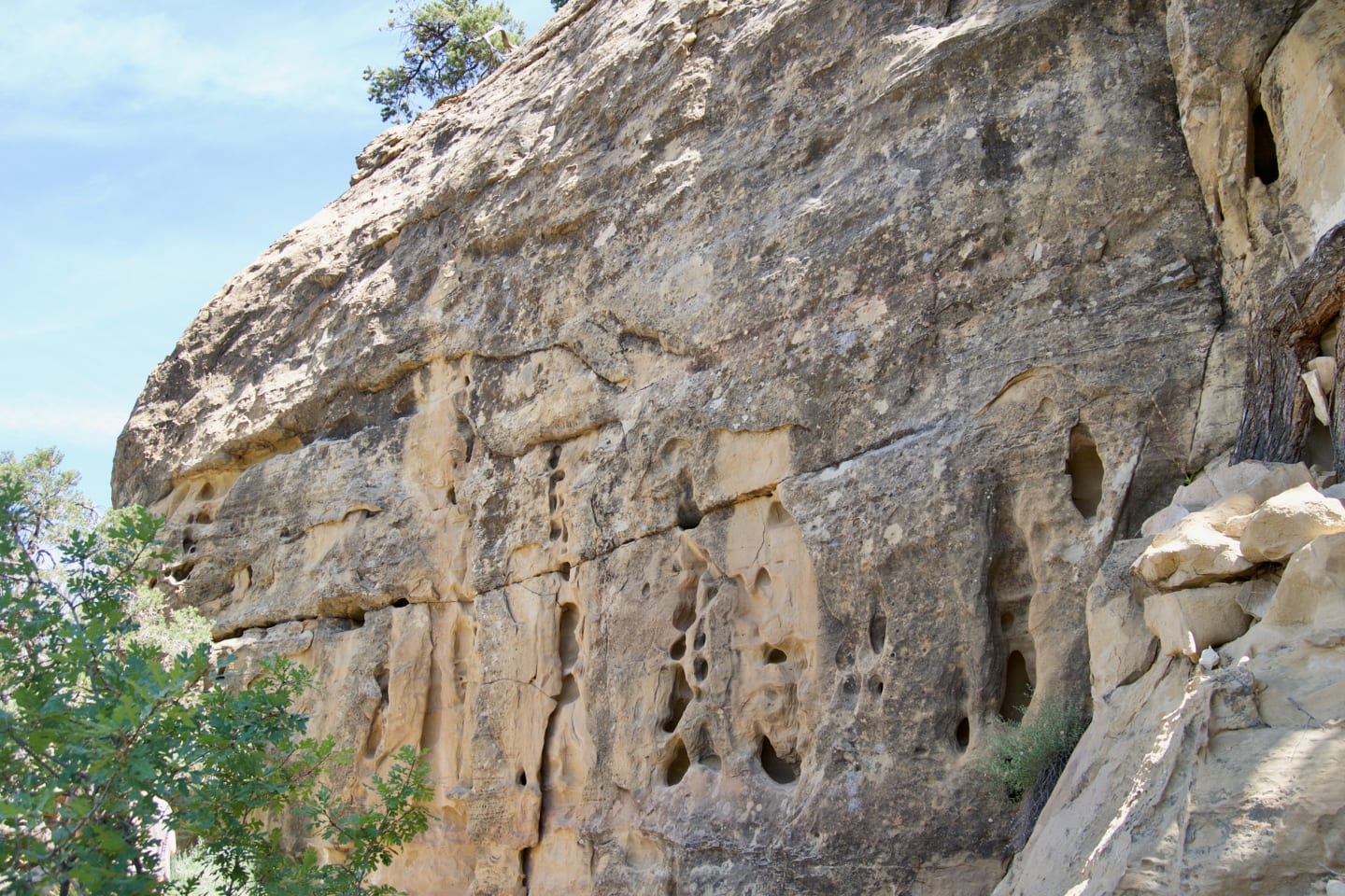
The trail continues further with a couple of up and down maneuvers on some rock formations and through some narrow passages. Up ahead, the trail curves right on the side of a gully just before it reaches the 20 feet wide petroglyph panel about 1.5 miles from the trailhead.
In this section, it’s like walking in the shoes of the Anasazis because there are various historic ruins and ancient dwellings in the area and in the alcoves. Ahead of the panel, the trail continues to climb to the top of the mesa. Be careful, there are unexpected and exhilarating scrambles along the way. Now, hiking on the canyon rim, take delight in the impressive views of the Spruce and Navajo Canyons.
The trail ahead then turns north going down through a wooded section and back to the cap of the ravine. The final section crosses an area of slick rocks slightly before the paved path near the museum.
Tips for Hiking Petroglyph Point Trail

The hike usually takes a couple of hours to finish and gains 174 feet in elevation. Petroglyph Point Trail is accessible most of the year (best used from March to November), except during winter or spring when the trail may be closed due to snow.
There’s a park entry fee higher from May to September than the rest of the year. Registration is required for the trail and you may register at the trailhead or the museum. Dogs are not allowed in the trail. We encourage you to wear hiking shoes and bring plenty of water. And finally, for your safety, never wander off along unstable cliff edges.
Getting There
From Mesa Verde National Park entrance on US Route 160, drive southwest for 19.3 miles on Mesa Top Ruins Road then turn right and follow the street for 0.7 miles. Turn left to the Chapin Mesa Archeological Museum parking lot.
Details
Address: Mesa Verde National Park, Cortez, CO
Phone: 970-529-4465
Season: Year-round (best March to November)
Length: 2.4 miles
Pets: Not permitted
Map: Petroglyph Point Trail Profile (jpg)
Website: nps.gov/meve/…

