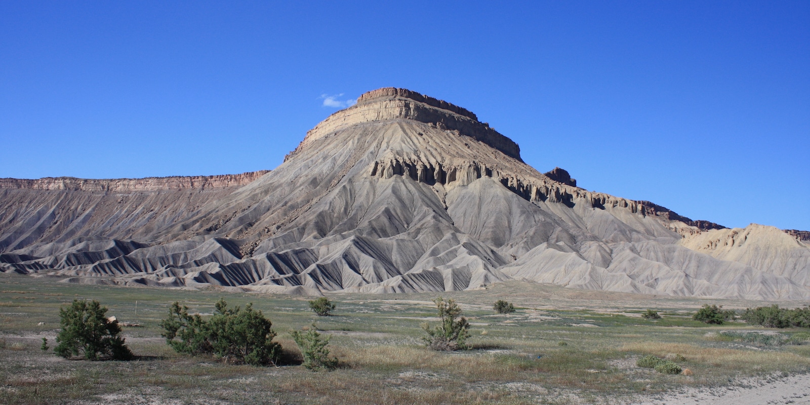
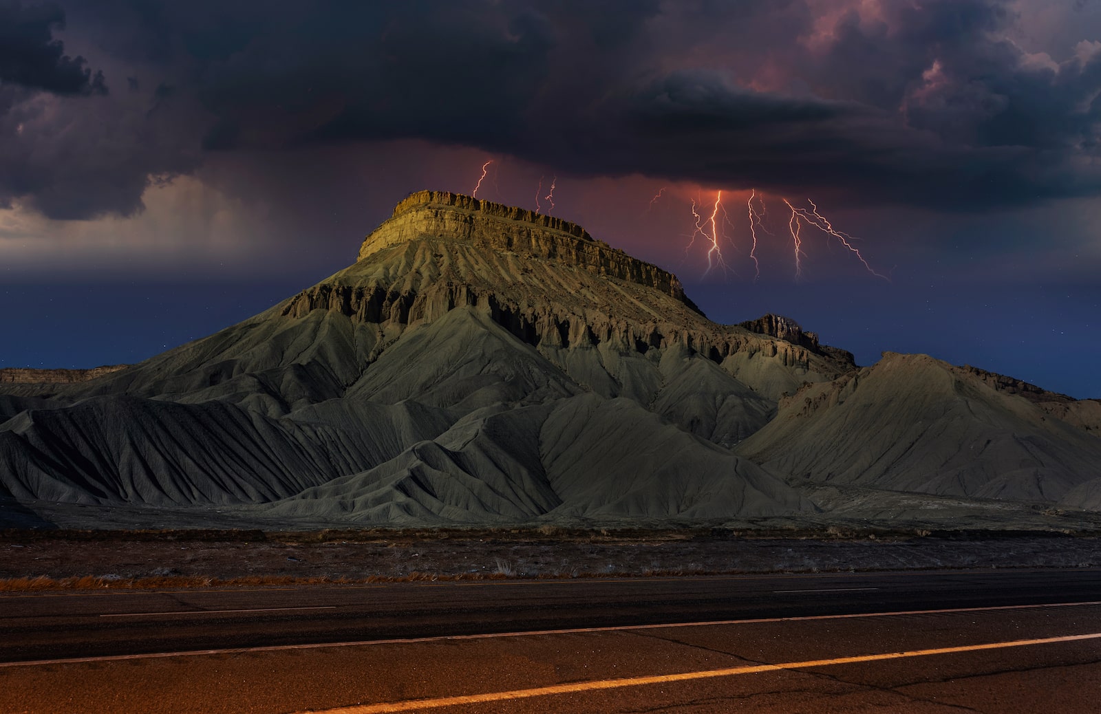
Mount Garfield, named for the late U.S. president, is a prominent peak near Palisade in the Book Cliffs, which marks the Grand Valley’s northern limit. Be among the numerous people making the ascent to the cliffs for fresh air and fantastic photo opportunities.
At the pinnacle, you can take in spectacular vistas of the Grand Valley and the rich farmland around the towns below. Mount Garfield is not a remote destination; it’s located just off Interstate 70. Gaining 2,000 feet of altitude in just two miles, the trails provide a challenging yet rewarding journey.
Trails
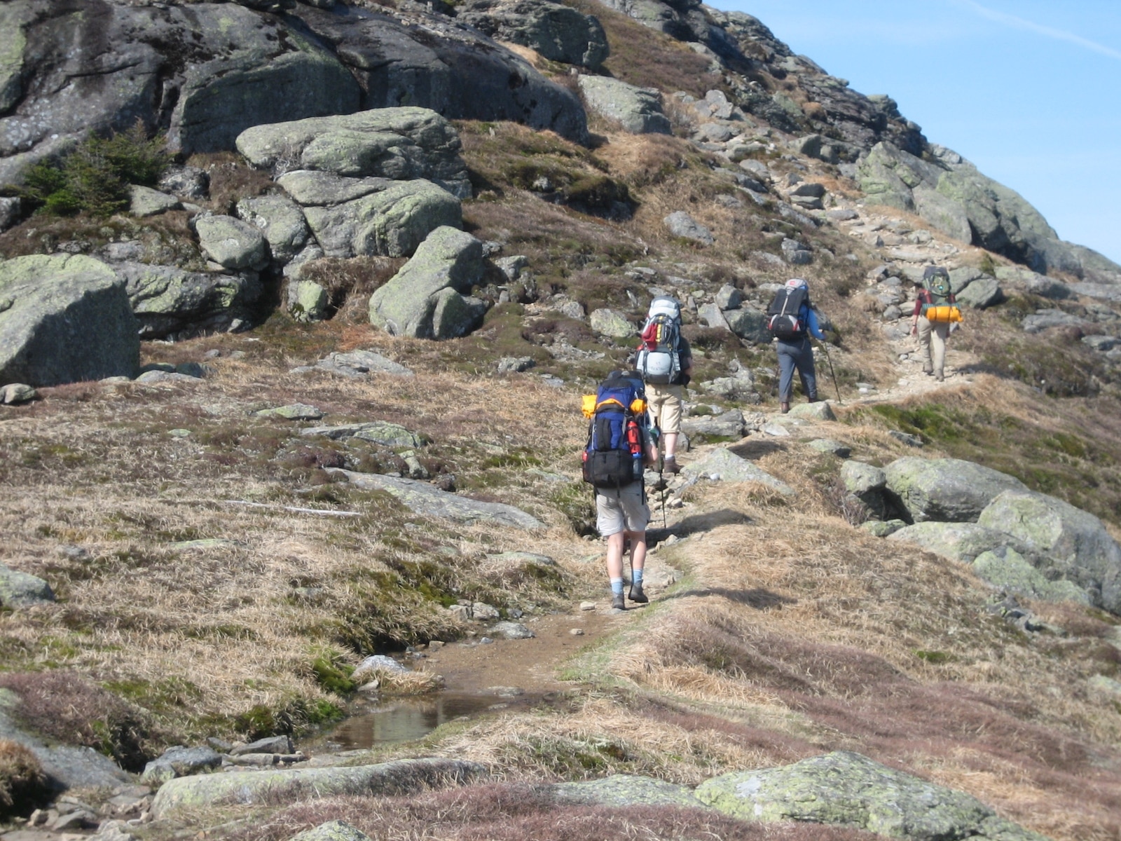
Mount Garfield is accessible by two well-traveled pathways, and the parking lot at the mountain’s base serves both trailheads. It will take a good chunk of time to accomplish either path by foot or bike, and there are chances of seeing wild horses during the trek. Bring lots of water and wear sturdy shoes. Having hiking poles can be really helpful, particularly on the way down and after rain.
Mount Garfield Trail – This roughly 4-mile round-trip route is the shorter of the two but more challenging. The trail ascends the central portion of the mountain to the north of the parking lot. While the path is in decent condition, it varies from dirt to rocky areas and a plateau area. From the get-go, expect to be met with a steep start to the hike.
Gearhart Mine Trail – From the eastern side of the parking lot, you can enter the Gearhart Mine Trailhead and take the path 2.5 miles to the top. This 5-mile round-trip hike is less strenuous overall, but it does take longer to complete. Keep an eye out for signs and ruins of the once-operational mine.
Other Activities
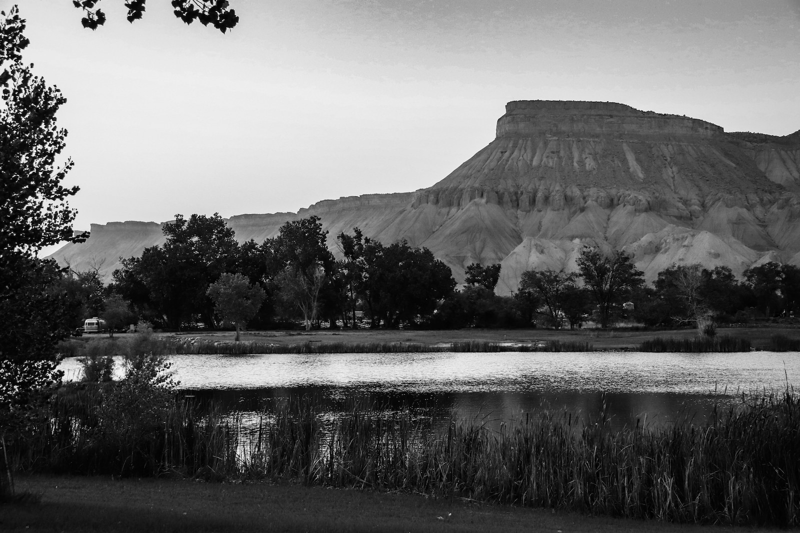
Exploring the trails on foot is the most popular mountain experience. However, there are a few other ways to get your nature fix while traveling through the area.
Biking – Some visitors choose to hit the routes on two wheels. Remember, this might be an activity for experienced bikers since some parts are incredibly steep.
Camping – While there aren’t camping spots along the trail to the summit, there are plenty of places in nearby towns to spend the night camping-style. Properties such as the Grand Junction KOA and the Palisade Basecamp & RV resort are great options.
Wildlife Watching – Wild horses, deer, wild turkeys, and elk are some of the creatures known to be spotted in this part of Colorado. Check out Clifton’s Little Book Cliffs Wild Horse Range for more animal viewing opportunities.
When To Visit
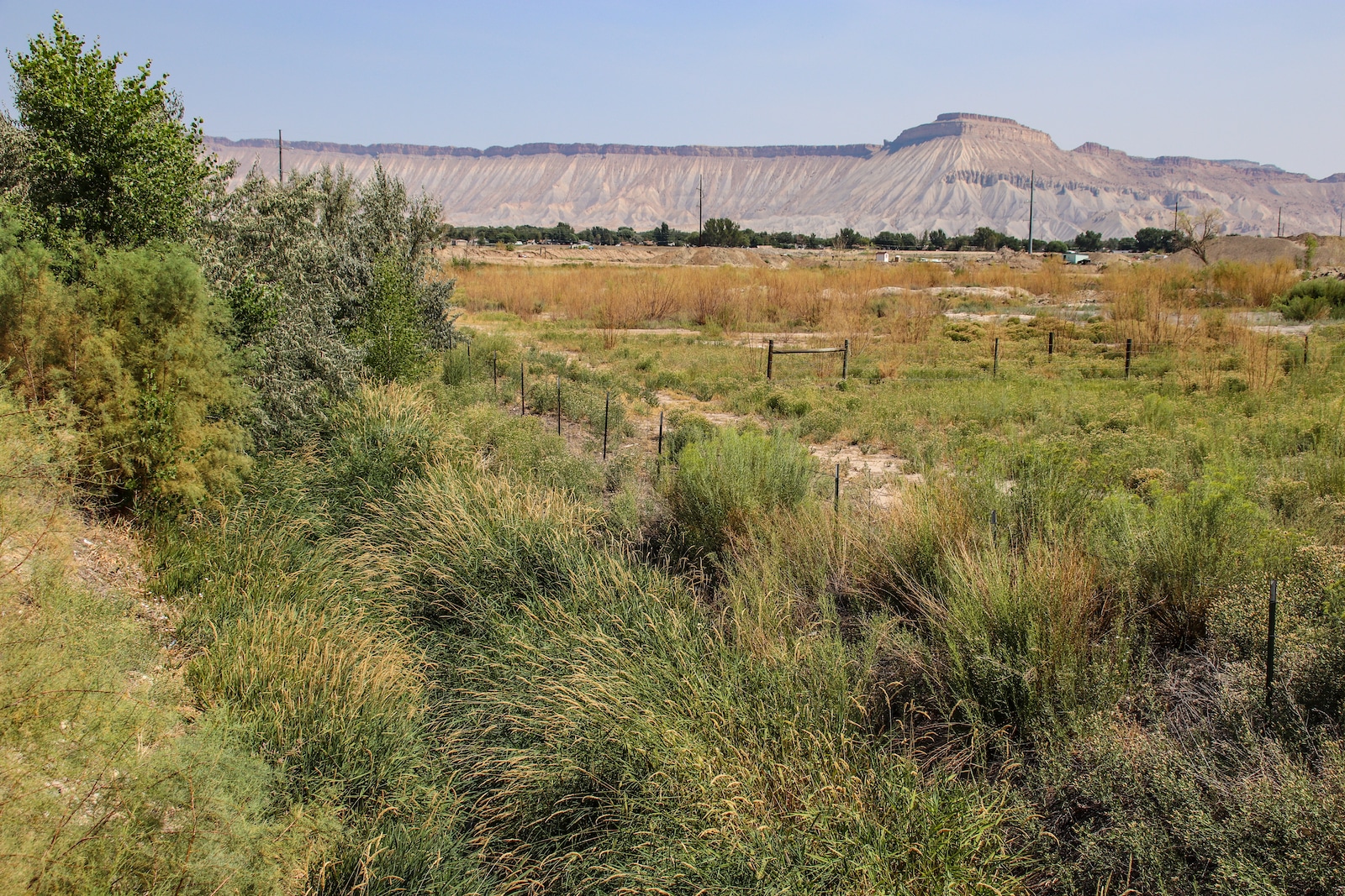
The best times to climb Mount Garfield are in the fall, winter, and spring. In the summer, when outdoor temperatures commonly exceed 100°F, the heat can be unpleasant to trek in. The regular path offers almost no respite from the sun’s rays, making the hike considerably more uncomfortable.
It hardly gets very snowy there because of its low elevation and southern-facing slopes. The trail is slippery right after a storm or snowfall but typically dries out within a day or two.
Getting There
Use exit 42 off Interstate 70 to get to the trailheads within the Book Cliffs. Turn right onto 37 3/10 Road at the bottom of the ramp, then immediately turn right onto G 7/10 Road, the first road on the other side of the canal.
Go to the point where the pavement ends, and a dirt road branches off to the right. You need to pass through a small tunnel beneath the interstate, and the parking lot and trailhead are on the highway’s north side.
Details
Address: I-70, Palisade, CO 81520
Nearby Towns:
Season: Year-round
Hours: 24 hours
Elevation: 6,765′
Pets: Yes, leashed dogs

