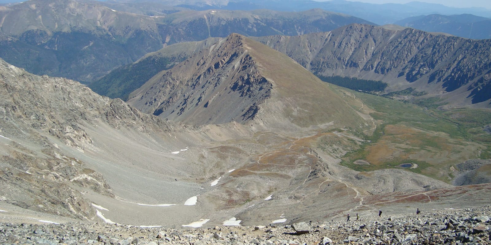
Nestled within the Arapaho National Forest, Grays Peak is one of the top 10 highest summits of the Rocky Mountains, reaching a height of 14,278 ft. This 14er is a fairly popular hiking mountain due to the difficulty level being Class 2 alongside an easily accessible trailhead and close proximity to Denver.
Trail Routes
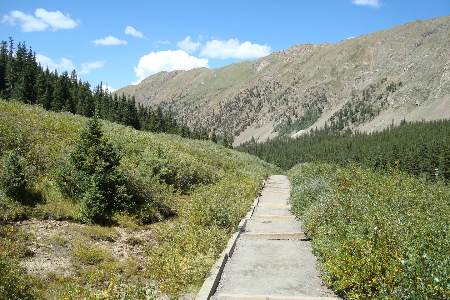
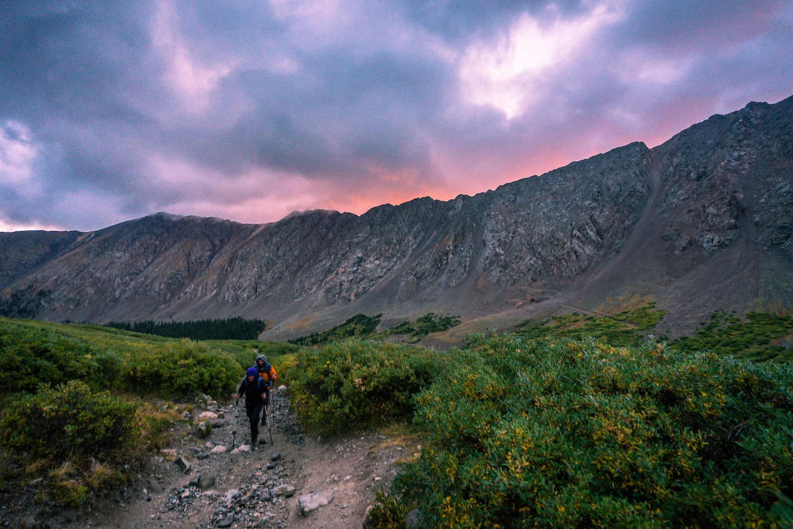
Grays Peak Trail, also known as North Slopes, is a well-worn path to summit this mountain and has a roundtrip of roughly 8 miles. Located 3 miles south of I-70 on Stevens Gulch Road, exit 221, the trailhead is accessible year-round with two trailhead starts depending on the season. The closest town is Georgetown, exit 228.
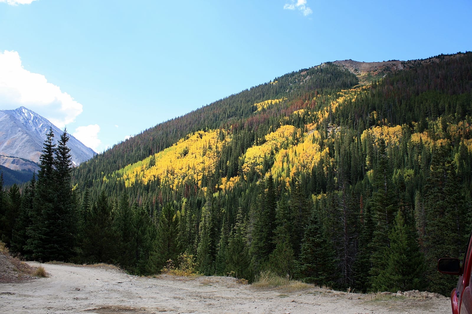
Winter parking is at the first parking area near Forest Service Road 189, and summer 3 miles closer in with restrooms and dispersed camping spots. The road is not maintained and it’s advisable to use an AWD or 4WD vehicle or drive carefully when entering.
This is a Class 1 trail. The South and Southwest Ridge trails are both Class 2 trails, and the Lost Rat Couloir is a Class 3.
Activities
Plan to arrive early as the parking lot is quick to fill up. Make sure to bring plenty of water and bring extras such as gloves, windbreakers, sweaters, and beanies/winter hats to help combat the cold and wind. Find nearby activities in the Arapaho National Forest.
Backpacking – With a fairly easy ascent, backpackers are able to carry all of their hiking and camping necessities without many stressful conditions.
Camping – Considering the difficulty level of this mountain, camping isn’t typically seen throughout the area, but there are plenty of spaces on public property, near the parking lot, or a bit uptrail.
Read about the camping near Georgetown and Guanella Pass.
Hiking – Plan to arrive early as the parking lot is quick to fill up and in preparation for Colorado’s ever-changing weather. Make sure to bring plenty of water and bring extras such as gloves, windbreakers, sweaters, and beanies/winter hats to help combat the cold and wind.
Mountaineering – Backcountry skiing and snowshoeing are possible throughout the winter months and even into spring as snow tends to stick around in higher elevations for longer periods of time.
Details
Address: Arapahoe National Forest, Clear Creek County, CO
Season: Year-round
Elevation: 14,278 feet (4,352 meters)
Pets: Yes, on-leash
Website: fs.usda.gov/…