Colorado is home to fifty-eight of the country’s mountains that are over 14,000 feet tall, commonly known as the Fourteeners. Bagging the peaks of the Fourteeners is not an easy job but you can easily tick two peaks off the list following Grays Peak Trail.
Grays Peak and Torreys Peak are among the easiest Fourteeners to the summit, plus, they are relatively close to Denver making the trail heavily packed especially during Summer.
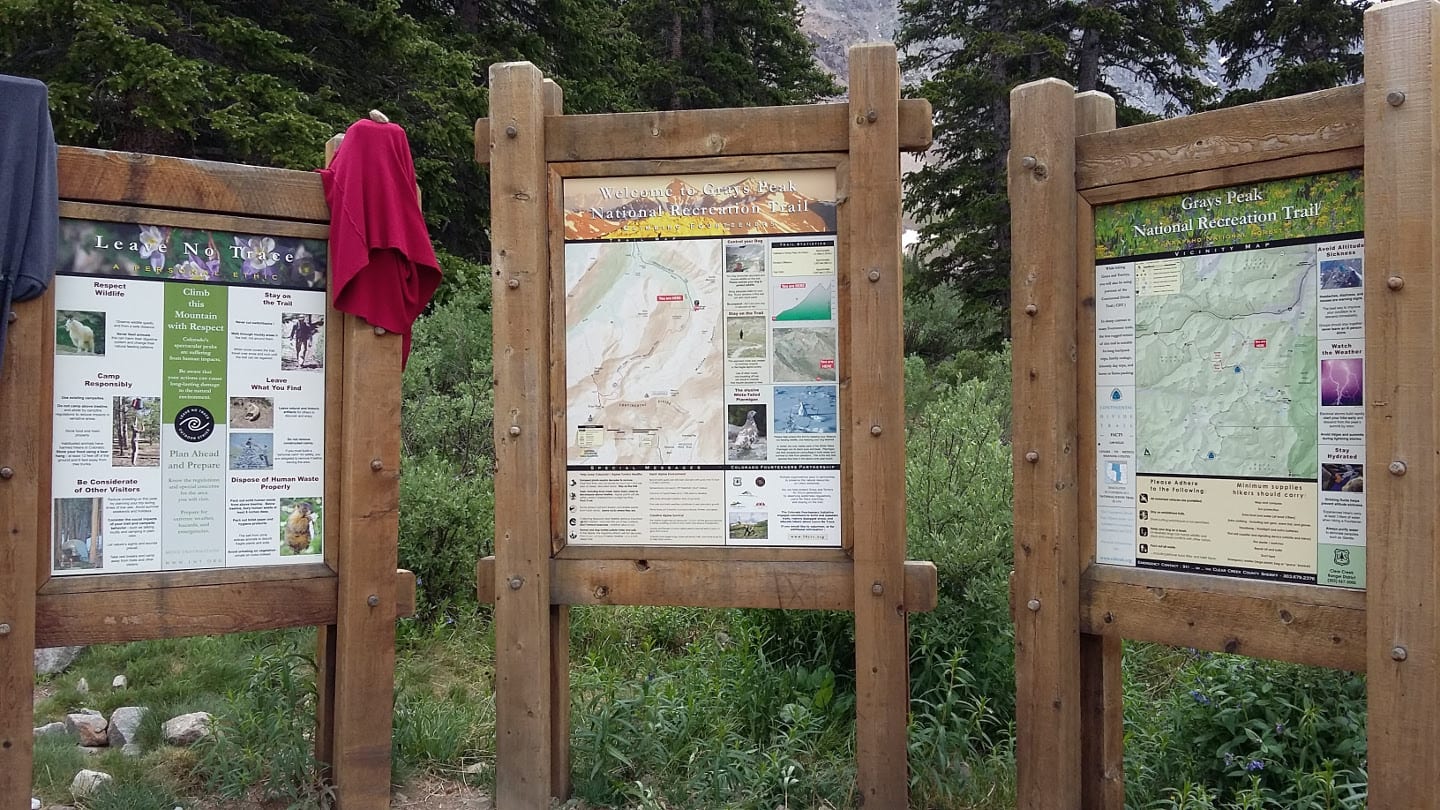
Hiking the National Recreation Trail
Grays Peak Trail is located in the Arapaho National Forest, Clear Creek County. It is a 3,000 feet climb on a 3-mile long backcountry type trail from the trailhead at Stevens Gulch to the 14,278 feet summit of Grays Peak, the highest in the Continental Divide. It was designated as a National Recreation Trail in 1979.
National Recreation Trail Route
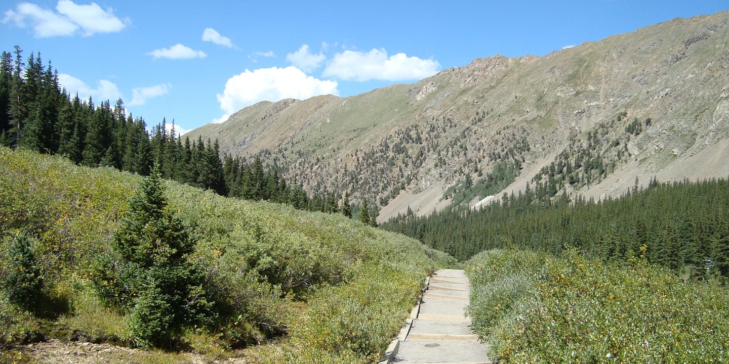
Now, let’s begin this awesome hike. From the trailhead, cross a bridge and follow an old mining trail. The trail begins at the tree line and through the willows. After almost a mile, turn left on a switchback.
Here, the Kelso Mountain is beautiful. Continuing another 0.80 miles ahead, cross a creek beneath Grays and Torreys Peak. Up ahead is a trail junction, just go straight, DO NOT turn right. The trail to the right will lead you to Torreys Peak through Kelso Mountain and Kelso Ridge.
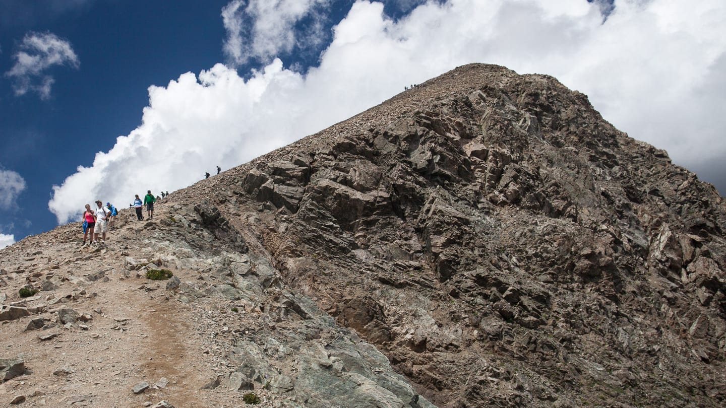
Continue to follow the trail until you reach another junction, once again, to go to Torreys Peak you may turn right. However, turn left to climb Grays Peak. Take on a slow and steady climb with a couple of switchbacks nearing the rounded Grays Peak. Hikers usually continue 1.15 miles up Torreys Peak. Ahead of the trail, down the North Ridge, is a trail sign pointing to Torreys Peak.
Follow the trail through some tight switchbacks for less than a half-mile. Now the saddle between Grays Peak and Torreys Peak lies ahead. Continue to follow the trail until you reach the sharp Peak of Torreys. Now, you’re 14,275 feet high and have hiked 4.15 miles in total. To return to the trailhead, hike back the way you came.
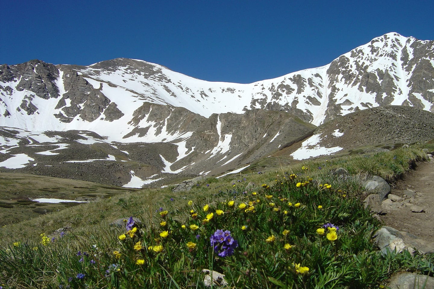
Descend to the saddle, follow the North Slopes trail and it will loop back to Grays Peak National Recreation Trail and down to the trailhead. This gives you 8.3 miles two-way hike. The views along the way and on the summits are majestic, including sights of the Continental Divide, Mt. Kelso, and Mt. Edwards to name a few.
Tips for Grays Peak Trail
Before you head on Grays Peak National Recreation Trail, remember these few tips. Begin your hike early to avoid the changes in Colorado’s afternoon weather and to get a parking space (The parking fills quickly and the trail gets so busy). Bring plenty of water and dress appropriately, even during summer, snow covers the peaks. Dogs on leash are allowed.
Read about the camping near Georgetown and Guanella Pass.
Getting There
From Denver – Drive 19 miles west on Interstate 70 to Bakerville exit #221. Drive south for about 3 miles on Stevens Gulch Road (FDR 189) to the trailhead. Note: This road is not passable during winter.
Details
Address: near Georgetown, CO
Season: June – October
Length: 3 miles (one-way) 8.3 miles (roundtrip for two peaks)
Pets: Yes, on-leash
Website: fs.usda.gov/…