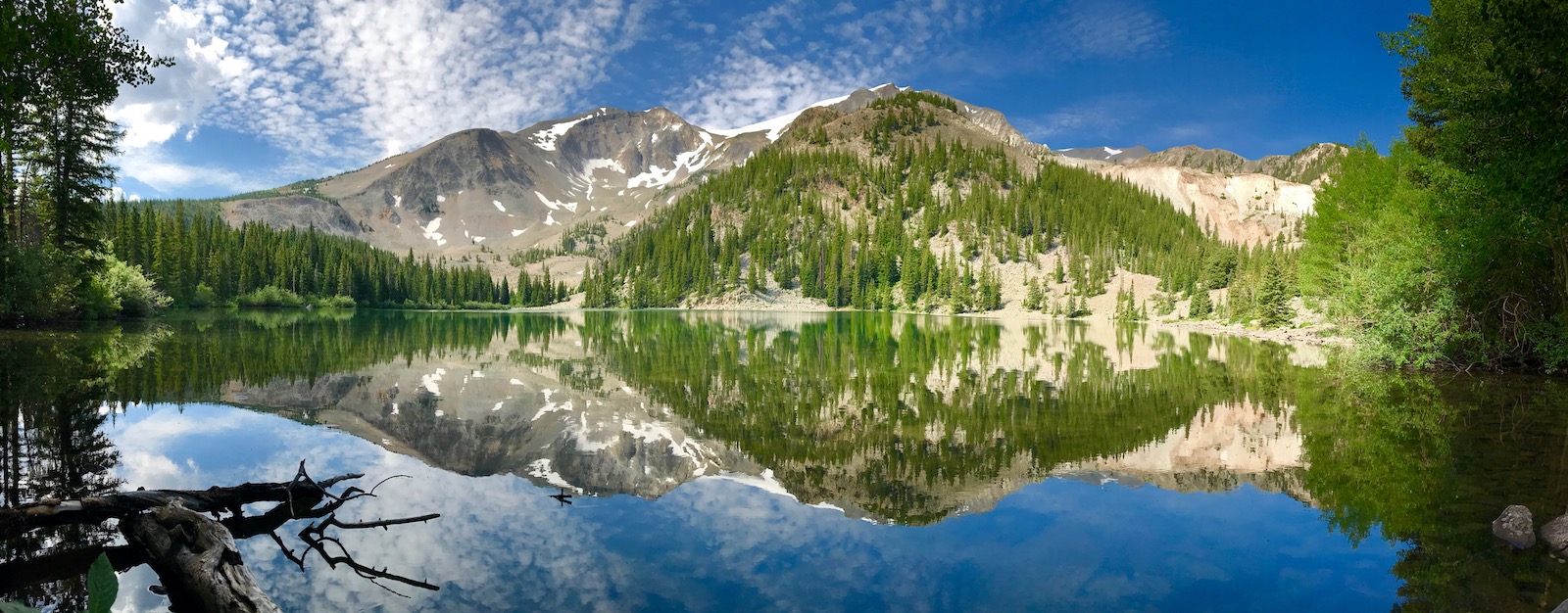
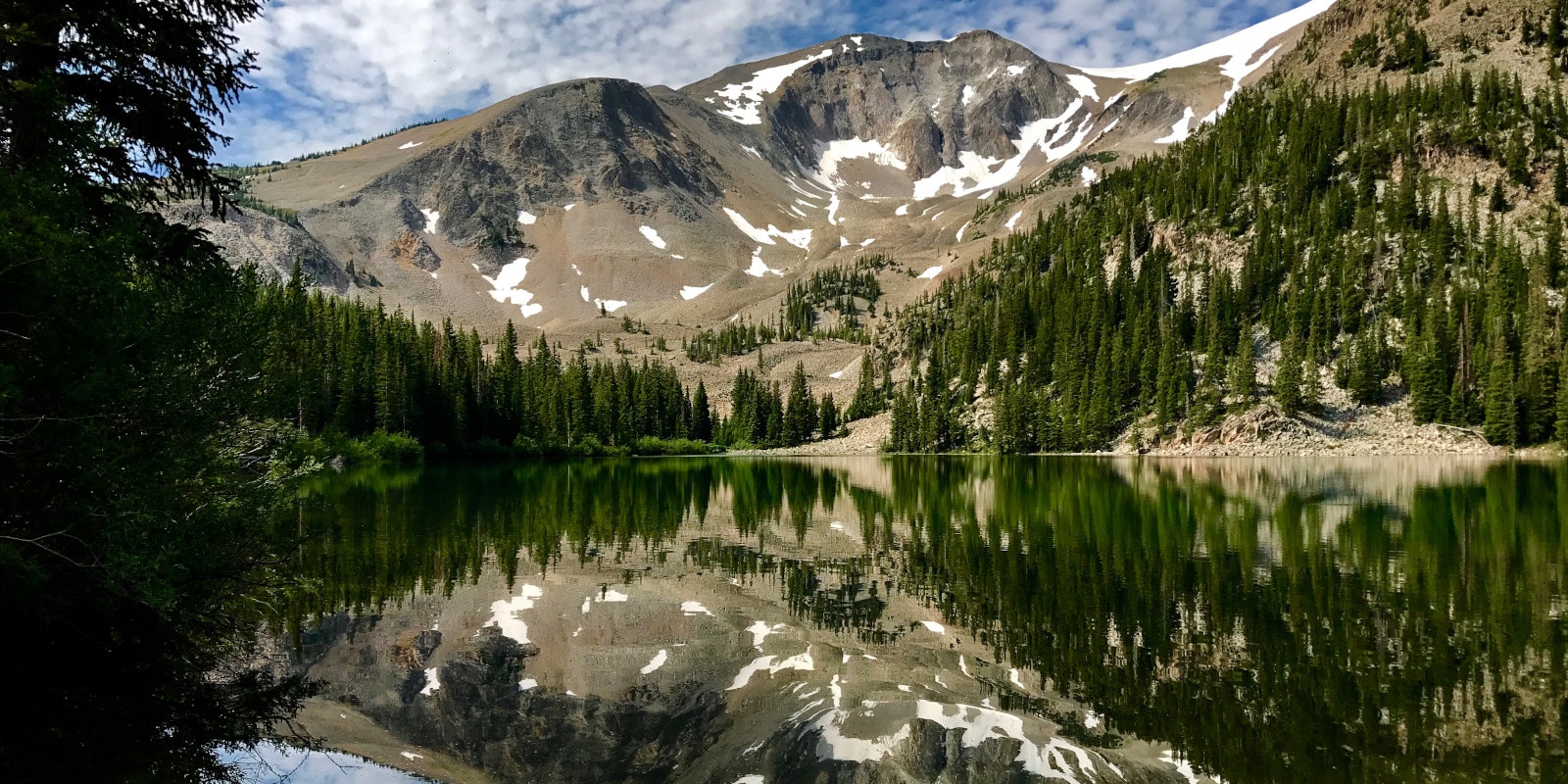
The Thomas Lakes are a group of natural waters found in the Maroon Bells-Snowmass Wilderness Area of the White River National Forest. Located in Pitkin County south of Carbondale, Colorado, the Thomas Lakes are only accessible by the Thomas Lakes / Mount Sopris Trail.
There are two “main” Thomas Lakes, with a few other small bodies of water found along Prince Creek. The Thomas Lakes are located on the east side of Mt. Sopris (~13,000 feet) and offer sweeping forest views surrounding the crystal-clear blue water.
Thomas Lakes Accessibility
To reach the Thomas Lakes, visitors must use the Thomas Lake Trail #1958, which is a moderately difficult, 7.2-mile round trip hike. The second Thomas Lake sits at about 10,248 feet in elevation, which means that the 3.6-mile journey to the water incurs an approximate 1,500 feet of elevation gain.
Due to its popularity, the Thomas Lakes Trail may be crowded in the summer and fall. The trail is well maintained and there is no fee to access the area. Although it can be very rocky in some parts, most prepared hikers and leashed dogs will reach the lakes in 2 to 3 hours from the parking lot.
To reach the trailhead, motorists can take Prince Creek Road (located about a mile and a half south of Carbondale along Highway 133) about 4 miles southeast. Turn right onto Forrest Road #311, also known as Dinkle Lake Rd, and travel approximately 2 miles to the trailhead.
Activities at Thomas Lakes

The journey to Thomas Lakes is a popular day-trip, with chances to see seasonal wildflowers and enjoy fresh Rocky Mountain air in the spring, summer, and fall. Although the road may be blocked to vehicles, access to the Thomas Lakes remains open in the winter to snowshoe and cross-country ski traffic.
You can also venture a little further to Lake Ann Reservoir, also called Dinkle Lake.
Camping: It’s possible to backpack overnight to Thomas Lakes, with camping permitted in designated areas only. Backpackers must self-register at the trailhead, and there is no fee or limit to the number of permits issued. Campfires are prohibited at the lakes, and group sizes are limited to 15 people.
To protect local wildlife, bear canisters are required for food storage and all human waste must be disposed of at least 100 feet from any source of water. Campsites are first-come, first served.
- Read about camping near Aspen and Basalt.
- Read about the camping near Carbondale and Glenwood Springs.
Fishing: With a valid state fishing license, visitors can fish in Prince Creek, Thomas Lakes, and all of the White River National Forest waters. Licensed anglers have their shot at a few natural trout species and must adhere to all local regulations.
Mountain Biking: Mountain bikes are permitted on the Thomas Lakes Trail, but bikers may not cross into the wilderness area at the shore of the first lake. For this reason, most mountain bikers will turn onto the Hay Park Trail.
Wildlife Encounters: The Mt. Sopris area is home to many native and migratory species that nearly guarantee all visitors at least one wildlife encounter. With caution, hikers and campers may be able to spot deer, marmots, bears, and more.
Details
Trailhead Address: Thomas Lakes Trailhead, near El Jebel and Basalt, CO 81621
Phone: 970-945-2521
Season: Year-round, parking lot access limited by snow in winter
Hours: 24/7
County: Pitkin
Fees: None
Maps: Mount Sopris Forest Service Topo (PDF)
Website & Info: Thomas Lakes Trail (PDF)

