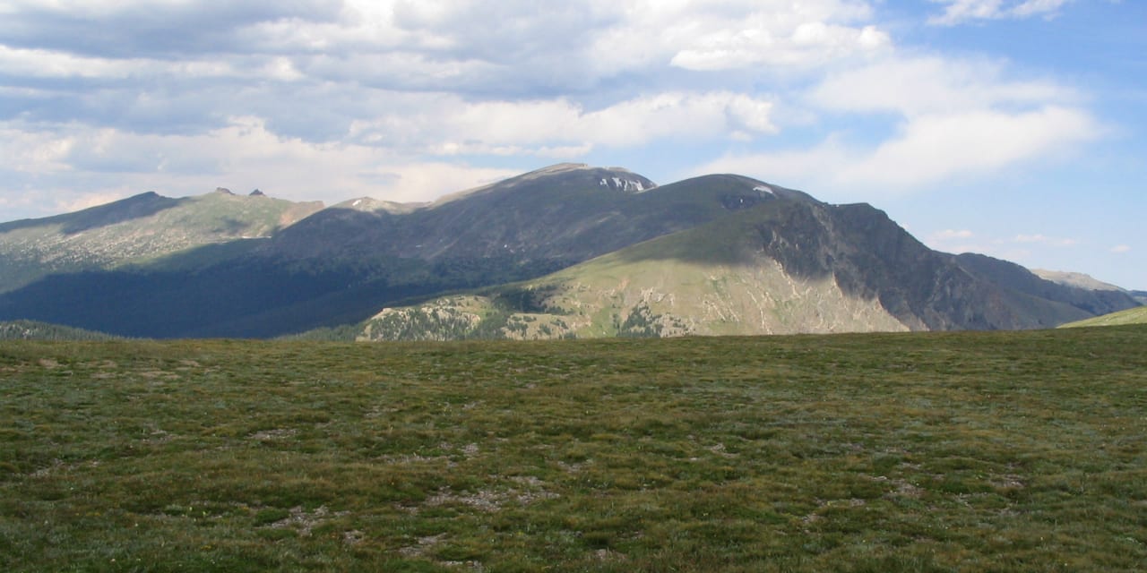
With elevations reaching up to 12,000 feet, the Trail Ridge Road is known to be the highest continuously paved road in the United States. Deriving its name from its historic relevance, this scenic byway sits very close to the trails Native Americans used to take to get across the Rocky Mountains.
It’s located within the Rocky Mountain National Park and connects Estes Park and Grand Lake. It has a total distance of 48 paved miles and would require at least 2 hours of driving to complete. It has become one of the most popular byways since its opening in 1938 due to its high elevations, hairpin turns, and magnificent sceneries.
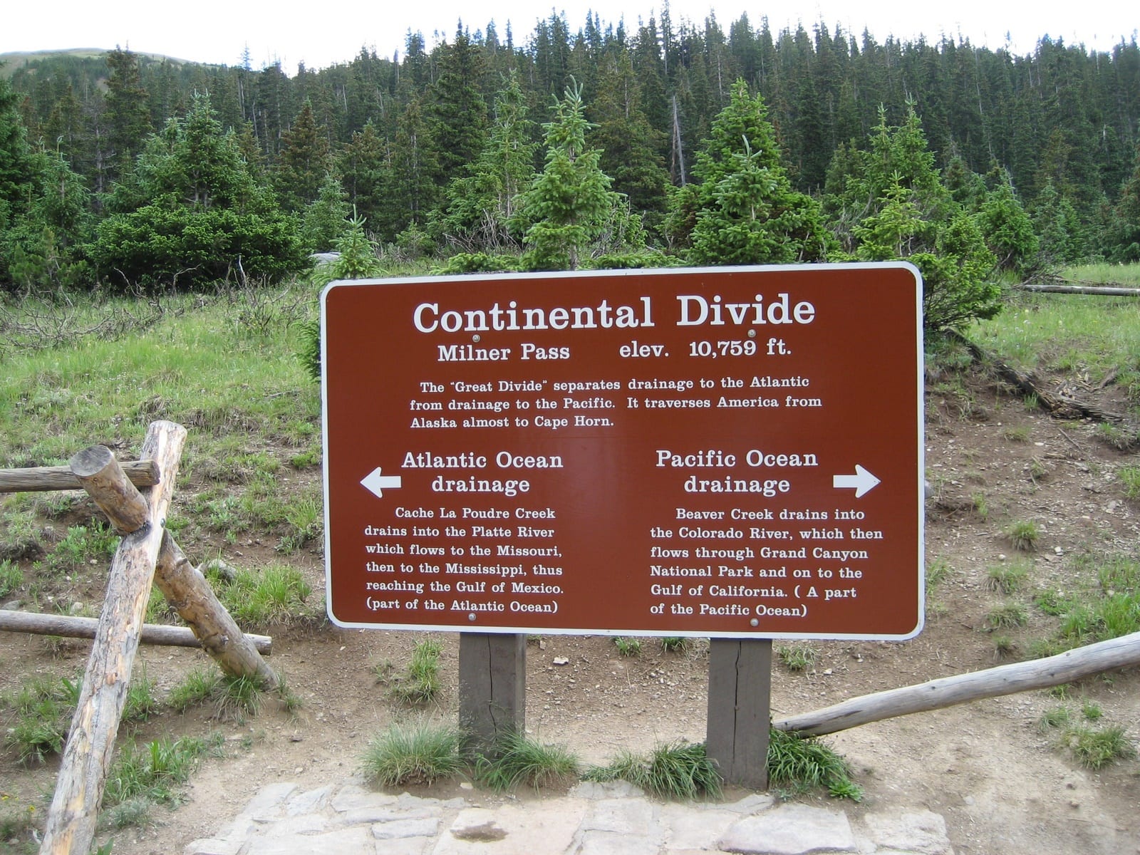
The journey begins either from Estes Park (east) or Grand Lake (west), and will run through US-34 climbing up and over several passes: Iceberg, Fall River, and Milner (listed east to west), until it reaches the other end. It crosses the Continental Divide at Milner Pass at 10,759 feet.
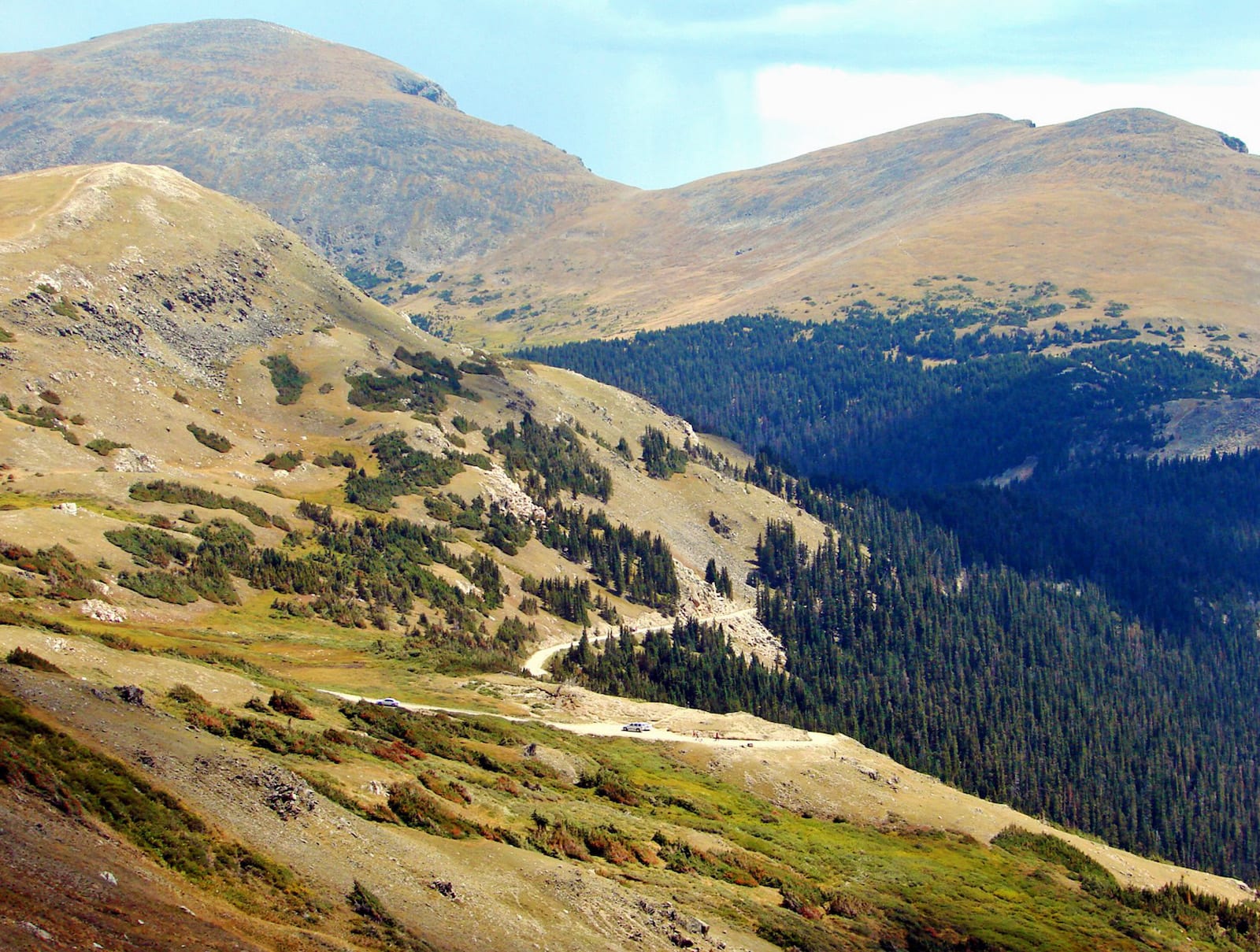
The highest point on Trail Ridge Road is 12,183 ft. Its highest mountain pass is Iceberg Pass, summiting at 11,827 ft.
Activities on Trail Ridge Road
There is a lot to do throughout the whole route. Although the entire Trail Ridge is not accessible during winter months due to the dangers of heavy snowfall, you can still access portions of it closest to the entrance at Grand Lake and Estes Park. Biking, camping, and sky gazing (nighttime) are the most popular activities to do in the byway.
Sightseers will be in paradise here with the stunning overlooks. Trail Ridge Road features plenty of interesting spots to stop by and take in the scene:
- Many Parks Curve offers an amazing view of Moraine Park
- Lava Cliffs overlooks cliffs of lava that were formed millions of years ago
- Rainbow Curve offers stunning views of Horseshoe Park, Alluvial Fan, and Beaver Ponds
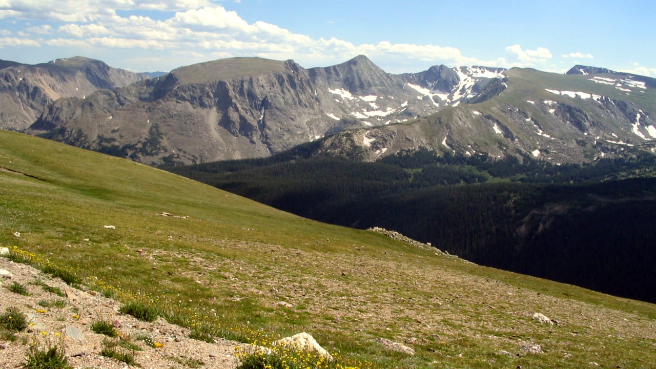
- Forest Canyon Overlook is a great observation surface for the Continental Divide peaks
- Toll Memorial Trail features an open tundra with an abundance of beautiful wildflowers
When Trail Ridge Road was finished in 1933, it replaced the need for Old Fall River Road, the park’s previous route across. However, this former route is still open today, offering a scenic drive from Estes Park toward Grand Lake, meeting back up with Trail Ridge Road at the Alpine Visitor Center. Do note that Old Fall River Road is one-way only, so plan to drive it east to west, and return via Trail Ridge Road west to east.
Details
Address: US-34, Estes Park to Grand Lake, CO
Season: Spring, Summer, Fall
Length: 48 miles
Roads: 2WD
Map: Trail Ridge Road Byway (PNG)
Website: codot.gov/…