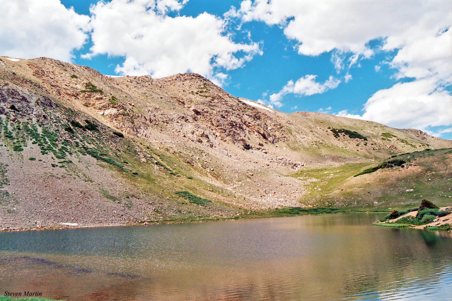
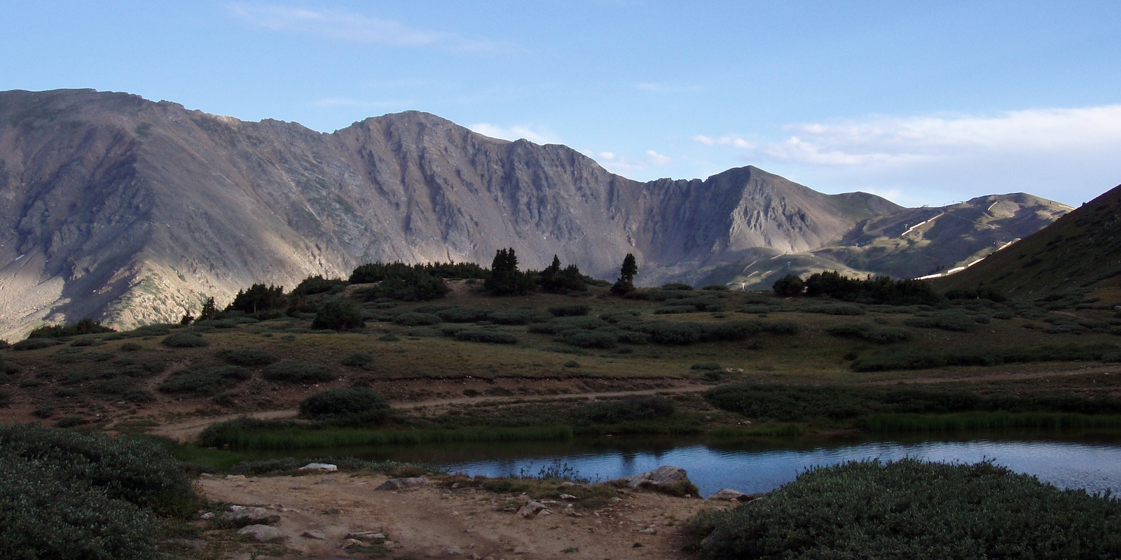
Pass Lake, also known as “Loveland Pass Lake” is a small, scenic body of water located on the west side of the Great Continental Divide near Keystone, Colorado. The pass be accessed year-round, weather-pending, but Pass Lake is frozen over with snow during the winter.
Approximately half of a mile due south from Loveland Pass on US Highway 6, Pass Lake has an elevation of 11,834 feet and is found on the outer, eastern edge of the White River National Forest.
A natural body of water, Pass Lake drains into the North Fork of Snake River. The water then heads to the Blue River and eventually into the Colorado River. Surrounded by dramatic alpine tundra, Pass Lake is a popular outdoor destination in Summit County and may be crowded on weekends and throughout peak tourist seasons.
Pass Lake Accessibility

From windy US 6, the turn to Pass Lake is easy to miss but can be spotted on the west (right-hand) side of the road after driving 0.5 miles downhill from Loveland Pass. From the other direction, the turn will be on your left-hand side after a set of large switchbacks about 3 miles uphill from the Arapahoe Basin Ski Area.
Visitors can access the lake within the Pass Lake Picnic Area, where there is a parking lot with enough room for about 20 vehicles. Each winter, Pass Lake access is closed for public safety when conditions are too icy or muddy. Due to its elevation, the picnic area may be very windy and is susceptible to afternoon and evening summer storms.
Activities near Pass Lake

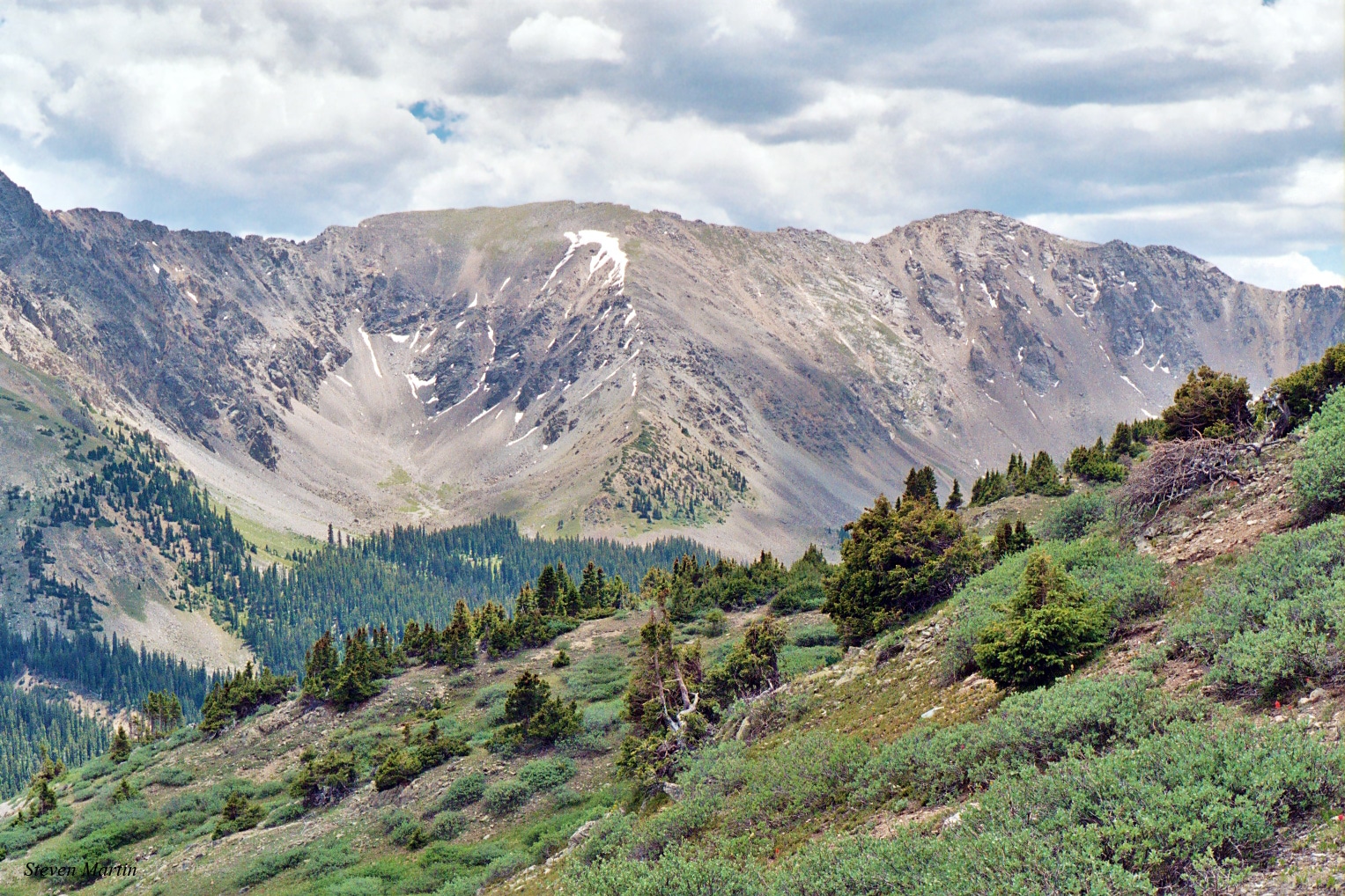
When driving over Loveland Pass, the Pass Lake Picnic Area is a great stop for a short walk, photoshoot, or breath of fresh mountain air. With an epic backdrop of the divide’s dramatic peaks, the lake also becomes surrounded by blooming wildflowers each summer.
Birding and wildlife: Within its 5-digit elevation habitat, Pass Lake is home to a thriving alpine ecosystem with visitors often encountering marmot, pika, and even groups of mountain goats. Around the lake, birdwatchers should be on the lookout for ptarmigan, and also may be able to spot larks, sparrows, and pipits in the surrounding skies and shrubs.
Hiking: Beginning on the southeast shore of Pass Lake, the Loveland Lakes Trail (trailhead #9044) is an easy 0.8 mi loop trail without any significant elevation gain. The family-friendly trail provides panoramic views of the area as it circumnavigates Lake Kaz and another small pond.
For a more strenuous opportunity nearby, serious hikers can park at the Grizzly Peak Trailhead located on the top of Loveland Pass to explore a challenging 13,433′ ascent with some scrambling required.
Picnicking: There are several free, first-come, first-served benches and picnic tables available near the parking area at Pass Lake. With no facilities or trash services onsite, visitors are required to pack in and pack out all of their belongings.
Skiing: While it is closed for the winter, both the Arapahoe Basin and Loveland Ski Areas are located within a few miles of Pass Lake. Even closer, experienced riders can also enjoy the backcountry skiing on Loveland Pass for even more winter fun.
Details
Address: Pass Lake, 28194 US-6, Keystone, CO 80435
Phone: 303-567-3000 (Clear Creek Ranger District)
Coordinates: 39°39′17″N 105°52′44″W
Season: Spring, Summer, and Fall
Hours: 24/7
Fees: None
Map: data.fs.usda.gov/… (PDF)

