• Menu
  • Skip to right header navigation
  • Skip to main content
  • Skip to primary sidebar
  • Skip to footer

Uncover Colorado Logo

  • Blog
  • Activities
  • Events
  • Towns
  • Lodging
  • Dining
  • Transport
  • Made in CO
  • Search
  • Blog
  • Activities
  • Events
  • Towns
  • Lodging
  • Dining
  • Transport
  • Made in CO
  • Search
Rabbit Ears Pass Highway 40 Colorado
Rabbit Ears Pass along Highway 40 in Colorado. Photo: Lee Stonehouse

Rabbit Ears Pass – Kremmling-Steamboat Springs

15
SHARES
FacebookTwitter

Rabbit Ears is not your average mountain pass. Instead of climbing to a high point and quickly descending, Rabbit Ears Pass climbs to around 10,000 feet and stays there for several miles. It’s also one of the snowiest roads in Colorado, especially for one that’s open year round.

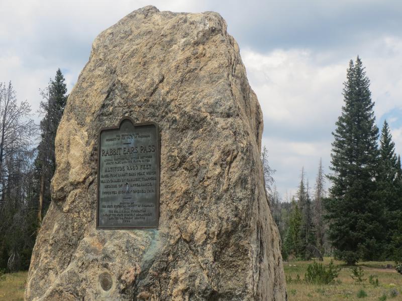
The pass was called so by the earliest trappers because of its appearance like rabbit ears. It’s always been a historic marker for the approaching Yampa Valley. An improved highway opened in 1919. Muddy Pass is located a few miles east of Rabbit Ears Pass, also along US-40.

Activities on Rabbit Ears Pass
Routt National Forest Rabbit Ears Pass
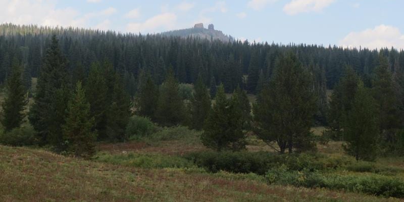
Rabbit Ears Peak near Steamboat Springs.

There are a slew of activities available within the Routt National Forest on Rabbit Ears Pass.

Camping – Free, dispersed camping is easy to find on most dirt roads on the pass. There are also two campgrounds, Meadows and Dumont Lake with reasonable nightly fees.

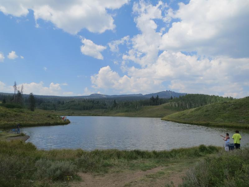
Fishing – Dumont Lake is the biggest lake on the pass. It’s located within a short distance from the highway. Muddy Pass Lake lies on the highway just east of Dumont Lake.

Hiking – The trail to Rabbit Ears is 4 miles beginning close to Dumont Lake. It can also be driven with a good 4×4. Numerous other trails exist from the parking areas on Highway 40. There’s always a map on site.

OHV – From Dumont Lake, there is a 4 mile high-clearance 4×4 road to the Rabbit Ears (FS Rd 291). There’s other trails open to ATV.

Winter – Once the snow settles, snowmobilers can be seen playing on the pass daily. Snowshoeing and cross country skiing are common too.

Getting There
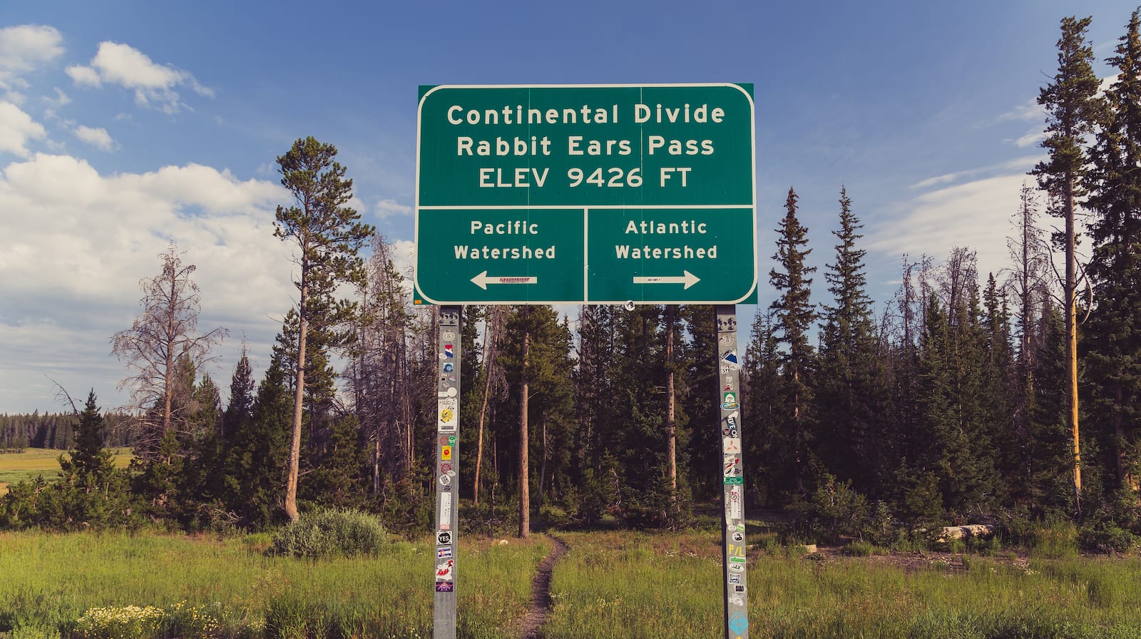
Rabbit Ears Pass Continental Divide Sign
A sign along US-40 atop Rabbit Ears Pass in the Routt National Forest. Photo: Tony Webster

Highway 40 begins climbing to Rabbit Ears Pass shortly east of Steamboat. Parking for the pass is located on the highway at a number of points, including both a West Summit and East Summit.

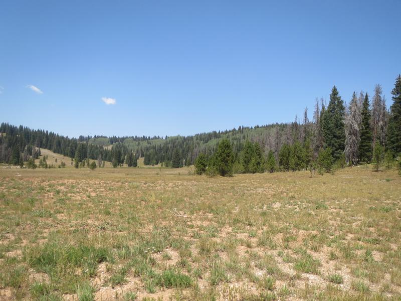
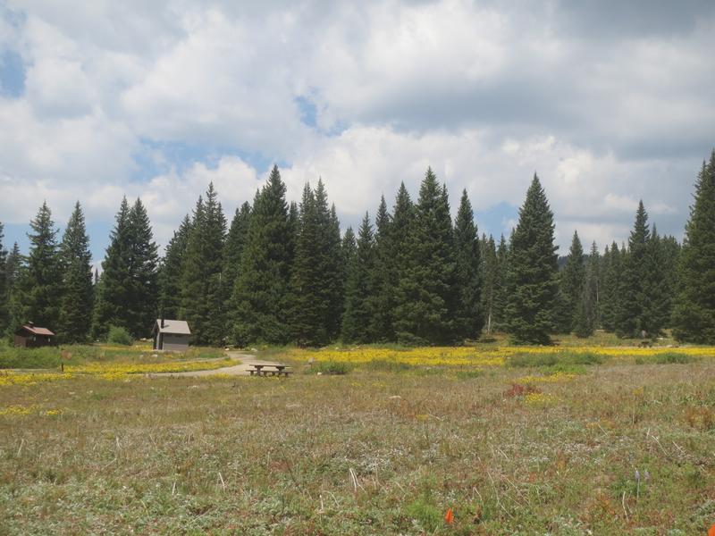
West Summit has lots of open flat terrain.
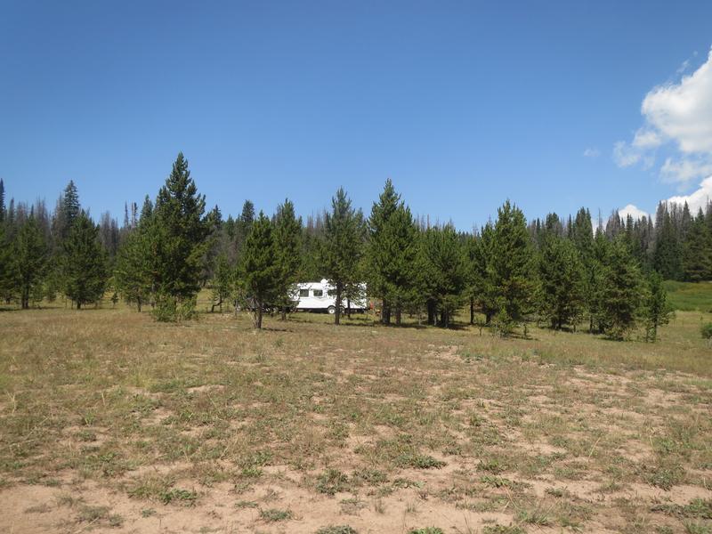
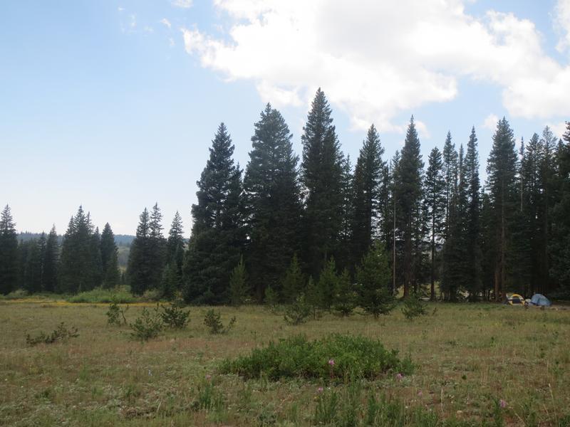
Primitive camping.
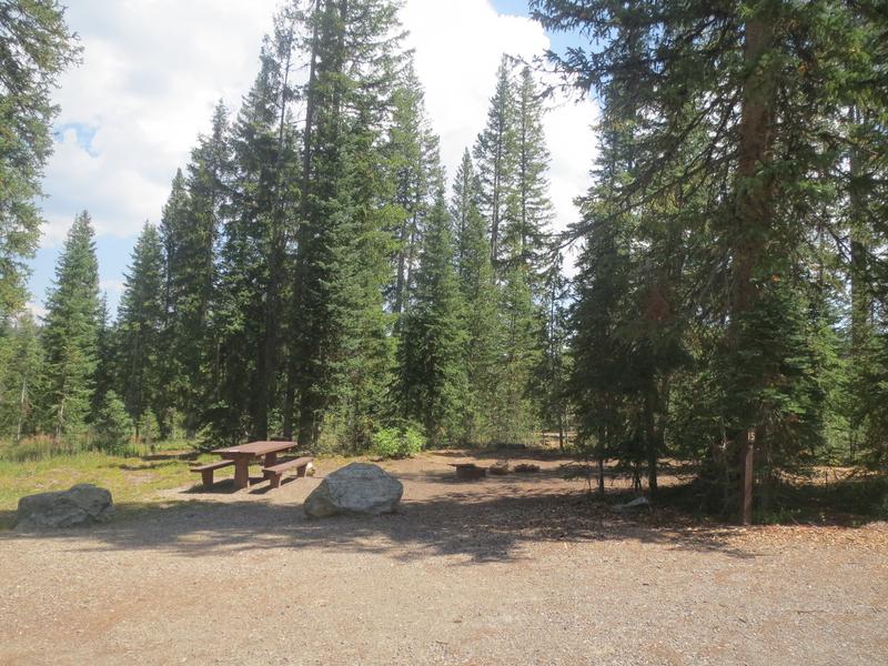
Meadows Campground.
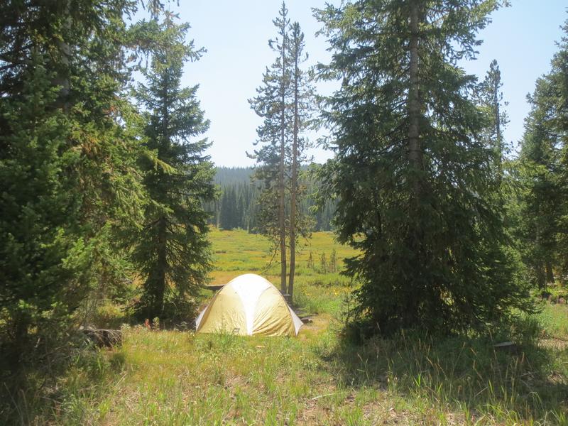
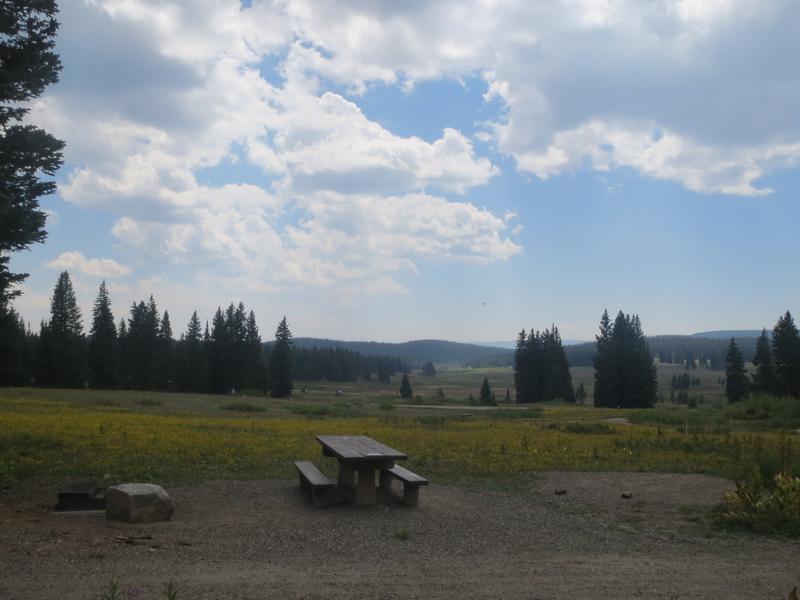
Campsite at Meadows.
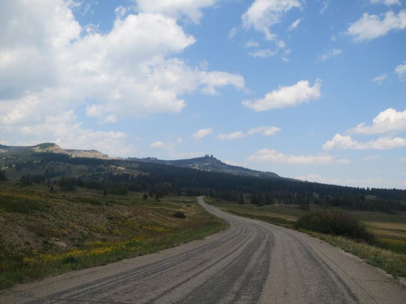
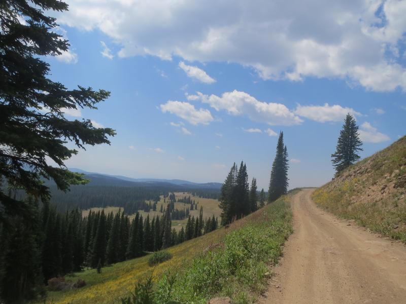
Driving up to Dumont Lake and Rabbit Ears Pass.
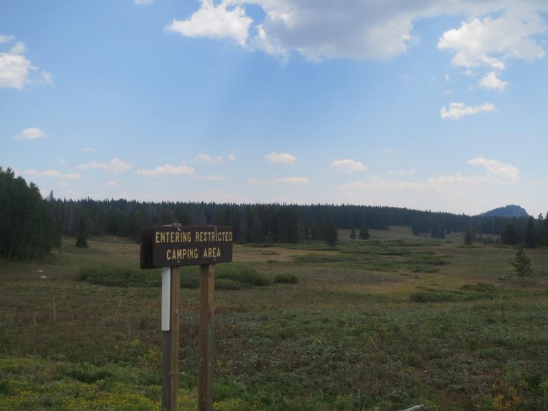
Camping is restricted within 1/4 miles of Dumont Lake CG.
Dumont Campground.
Campsite near Dumont Lake.
Dumont Campground.
Rabbit Ears Pass - altitude 9, 680 feet.
Forest Service Road #311.
Base Camp Trailhead to Fishhook Lake.
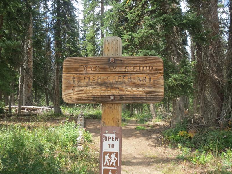
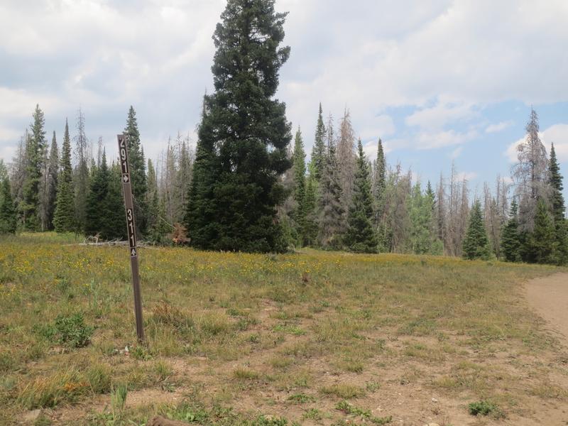
Marker for Forest Service Road 291 to the Rabbit Ears.
Muddy Pass Lake.

Details

Address: US-40, Steamboat Springs, CO

Phone: 303-745-2300 – Routt N.F.

Season: Year round

Fees: None

Map: Yampa (PDF) – A large motor vehicle use map showing the whole ranger district and where dispersed camping is permitted.

Campground: Reservations

Primary Sidebar

Join our Colorado travel community

Enter your email below and grab our free locals' guide and monthly what's up designed to help you live your Colorado life and uncover fun things to do. —and never miss out again.

Colorado Mountain Passes

  • All Activities
  • All Scenic Drives
  • Argentine Pass
  • Berthoud Pass
  • Boreas Pass
  • Buffalo Pass
  • Cameron Pass
  • Cinnamon Pass
  • Coal Bank Pass
  • Cochetopa Pass
  • Cordova Pass
  • Cottonwood Pass
  • Cuchara Pass
  • Cumberland Pass
  • Dallas Divide
  • Dunckley Pass
  • Engineer Pass
  • Fall River Pass
  • Georgia Pass
  • Guanella Pass
  • Hagerman Pass
  • Hermit Pass
  • Hoosier Pass
  • Iceberg Pass
  • Independence Pass
  • Jones Pass
  • Kebler Pass
  • Kenosha Pass
  • La Poudre Pass
  • La Veta Pass
  • Loveland Pass
  • Marshall Pass
  • McClure Pass
  • Milner Pass
  • Molas Pass
  • Monarch Pass
  • Mosquito Pass
  • Muddy Pass
  • North Pass
  • Ophir Pass
  • Poncha Pass
  • Rabbit Ears Pass
  • Raton Pass
  • Red Cone Pass
  • Red Mountain Pass
  • Rollins Pass
  • Schofield Pass
  • Shrine Pass
  • Slumgullion Pass
  • Spring Creek Pass
  • Squaw Pass
  • Stony Pass
  • Tennessee Pass
  • Tincup Pass
  • Ute Pass
  • Vail Pass
  • Waunita Pass
  • Webster Pass
  • Weston Pass
  • Wilkerson Pass
  • Wolf Creek Pass

Footer

Get In Touch

  • Home
  • About Us
  • Write For Us
  • Advertise
  • Contact Us
  • Resources
Facebook Instagram Pinterest Twitter

Disclosure: Uncover Colorado is a participant in the Amazon Services LLC Associates Program, an affiliate advertising program designed to provide a means for sites to earn advertising fees by advertising and linking to Amazon.com.

Things To Do

  • Travel Blog
  • Colorado Activities
  • Colorado Events
  • Colorado Towns
  • Colorado Hotels
  • Colorado Restaurants
  • Colorado Transportation
  • Made in Colorado

Visit Mile High Happy Hour for Denver neighborhoods' restaurant happy hours.

Winter Activities

  • Camping
  • Cross Country Skiing
  • Federal Lands
  • Hot Springs
  • Ice Skating
  • Skiing and Snowboarding
  • Snow Tubing
  • State Parks

Vacation like a VIP! Leisurely Lifestyle shares life and travel hacks, as well as cheap luxury travel.

Copyright © 2021 · Uncover Colorado - Vacations, Travel & Tourism | Sitemap | Privacy Policy | Disclaimer