Whether you’re coming for the dazzling natural beauty or a soak in the local hot springs, Steamboat Springs makes for a terrific camping destination. Between Oak Creek, Steamboat, and Clark, there are ample campgrounds to choose from in this region of Routt County.
The epicenter of the Yampa Valley, Steamboat Springs is a tourist hot spot, offering everything from an alpine coaster to an endless national forest. Formed by the Yampa River, the Yampa Valley is a special place for all those who’ve visited before.
The river, which runs through Steamboat Springs, starts south of town in the flat-top mountains by Yampa. It flows north to Oak Creek before heading west at Steamboat Springs, all the way past Craig to Dinosaur National Monument. This is where it joins with the Green River. On its way, it passes by numerous opportunities to camp and access the Routt National Forest.
List of camping by Steamboat Springs, Oak Creek and Clark, CO, in order of proximity:
Camping near Steamboat Springs

Residing at a comfortable alpine elevation of 6,732 feet, Steamboat Springs features a nice four seasons climate. Combined with a reasonable three hour drive from Denver and a population of over 13,000 people, Steamboat makes an extremely popular destination for weekend trips. It’s one of the largest mountain towns in the state, with both a wide western downtown and mountain village. Camping can be found fairly close to town at places like Buffalo Pass.
Steamboat Springs KOA
A complete campground with all the amenities and a few more you might not expect. This very popular KOA is located in Steamboat Springs and is a prime destination for campers and outdoor recreational enthusiasts all year long. You can fish in the campground, refresh from a long road trip at the laundry and shower facilities or just relax each evening after a long day’s adventure in the surrounding Colorado countryside.
- Closest town: Steamboat Springs (0mi)
- Specs: 142 sites, 79 RV / Trailer, 43 tents, 50 amp service, full hookups, water, restrooms, 60’ maximum length, open year-round
- Amenities: Cable TV, dog park, Wifi, bike rentals, mini-golf, showers, laundry, camp store
- Reservations: Yes, at koa.com
- Address: 3603 Lincoln Ave, Steamboat Springs, CO 80487 (Map)
- Directions: Take Lincoln Avenue from the city center west 2.9 miles to the campground.
Eagle Soaring RV Park
Set on 27 acres in view of the popular Steamboat Springs ski areas, this RV park is designed for the ease of campers with larger recreational vehicles. The location is just a few minutes away from downtown Steamboat Springs and an equal distance from mountain biking, hiking, horseback riding, and myriad other seasonal and year-round outdoor adventures.
- Closest town: Steamboat Springs (7mi)
- Specs: 28 – 70’ sites, water, showers, restrooms, open year-round
- Amenities: All sites are pull-through, full hookup, 30/50 amp service
- Reservations: Yes, at 970-879-0164
- Address: 25250 U.S. Highway 40, Steamboat Springs, CO 80487 (Map)
- Directions: From Steamboat Springs take U.S. Highway 40 West 7.3 miles to the campground.
Dry Lake Campground
This popular campground lives up to its name, it is dry, and no water is available at the site. This is a popular area to access excellent hiking and mountain biking trails on Buffalo Pass. Set in a forest of aspen, blue spruce, and fir, the afternoon winds create a musical backdrop unique to the Colorado wilderness.
- Closest town: Steamboat Springs (5mi)
- Specs: 8 sites, trailer maximum length 20’, vault toilet, no water, open mid-June to late October
- Amenities: None
- Reservations: No, first-come, first-serve
- Address: Forest Service Road 318, Steamboat Springs, CO 80487 (Map)
- Directions: From Steamboat Springs take 6th Street to North Park Road .7 miles. Follow Strawberry Park Road to Forest Service Road 36.9 miles. Forest Service Road 36 becomes County Road 38 then Forest Service Road 318, go 4.3 miles to the campground.

FREE – Dispersed Camping on Buffalo Pass Road
This is probably the closest, best free camping to downtown Steamboat Springs. Buff pass also provides fast access to Strawberry Park Hot Springs. After you pass the turnoff for the above Dry Lake Campground, you’ll begin to wind up Buff Pass, passing by numerous pull-offs for preexisting campsites. Always practice leave no trace. 2WD is fine for the bottom of the pass, but the higher you go, and if you continue onto Walden, you’ll want a high-clearance 4×4.
- Closest town: Steamboat Springs (7+mi)
- Address: County Road 38/Buffalo Pass Road, Steamboat Springs 80487 (Map)
- Directions: From downtown Steamboat, take 6th St to North Park Rd for 0.7 mi. Follow Strawberry Park Road (leads to hot springs) for nearly 1 mile. Take a right onto County Road 38 and follow that up Buffalo Pass. You’ll see a sign entering the Routt National Forest and pull-offs for campsites.
Summit Lake Campground
At the top of Buffalo Pass, this lightly used campground is located on Summit Lake and a popular destination for horseback riding, mountain biking, and all-terrain vehicles. Only hand-powered boats or canoes are allowed on the lake. Located near the boundary of the Mount Zirkel Wilderness it is a good base camp for adventures in the pristine Colorado outdoors.
- Closest town: Steamboat Springs (13mi)
- Specs: 15 sites, 9 back-in, 6 walk-in tent sites, vault toilet, open July to late October
- Amenities: Trash service, fire-grates
- Reservations: No, first-come, first-serve
- Address: County Road 38, Coalmont, CO 80430 (Map)
Meadows Campground
Stream fishing, hiking, and mountain biking await the traveler arriving at this lightly used campground. There is no water at this campground, so plan. Located on historic Rabbit Ears Pass the campground is surrounded by tall, mature trees that sing the song of the mountains in the afternoon breeze.
- Closest town: Steamboat Springs (16mi)
- Specs: 30 sites, water, vault toilet, open late June to mid-October
- Amenities: Some pull-through sites and walk-in sites
- Reservations: No, first-come, first-serve
- Address: U.S. Highway 40, Steamboat Springs, CO 80487 (Map)
Granite Campground
High-clearance vehicles are recommended to access this quiet campground on the shore of Fish Creek Reservoir. A good location for mountain biking, hiking, and all-terrain vehicles the lake offers good shoreline fishing with non-motorized boats allowed on the reservoir. On the way in, stop by the trailhead for the Fish Creek Falls, it’s only a ten-minute hike to the waterfall.
- Closest town: Steamboat Springs (17mi)
- Specs: 8 sites, 4 drive-ups, 4 walk-in tent sites, vault toilet, water, open July to late October
- Amenities: On the shoreline of Fish Creek Reservoir
- Reservations: No, first-come, first-serve
- Address: Forest Service Road 310, Steamboat Springs, CO 80487 (Map)
Camping near Oak Creek
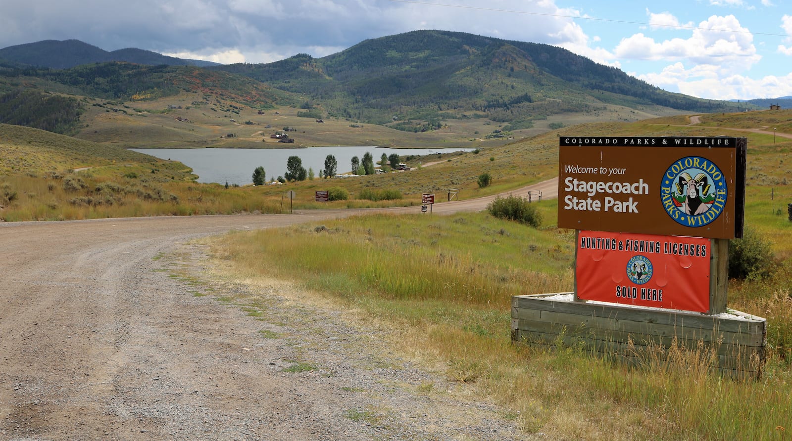
Thirty minutes south of Steamboat at an elevation of 7,428′, Oak Creek is a gateway to Stagecoach Reservoir. This small town features nearly 1000 people, but there aren’t many facilities, so expect to drive to Steamboat for restaurants or shopping. The local Stagecoach State Park features two campgrounds with a combined 64 campsites, as well as a couple of group campgrounds.
Stagecoach State Park Campgrounds
A total of 92 campsites divided among four campgrounds provide visitors with a variety of camping venues at this popular Colorado state park. A pair of boat ramps, one on the north shore of the reservoir, and another near the Morrison Cove area offer easy access to the lake. A marina, amphitheater, group picnic area, and camping sites are spread throughout this popular destination. Lake and river fishing are among the many activities in the picturesque Yampa Valley.
Junction City Campground
- Closest town: Steamboat Springs (16mi)
- Specs: 27 sites, water, flush toilets, open May 15 to September 30
- Amenities: Showers, 30 amp service
- Reservations: Yes, at cpwshop.com
- Address: 25500 County Road 14, Oak Creek, CO 80467 (Map)
Pinnacle City Campground
- Closest town: Steamboat Springs (16mi)
- Specs: 37 sites, water, flush toilets, open May 15 to September 30
- Amenities: Showers, 30 amp service, dump station
- Reservations: Yes, at cpwshop.com
- Address: 25500 County Road 14, Oak Creek, CO 80467 (Map)
Harding Spur Campground
- Closest town: Steamboat Springs (16mi)
- Specs: 17 sites, water, vault toilet, open May 15 to September 30
- Amenities: Group campsite
- Reservations: Yes, at cpwshop.com
- Address: 25500 County Road 14, Oak Creek, CO 80467 (Map)
McKindley Campground
- Closest town: Steamboat Springs (16mi)
- Specs: 8 sites, vault toilet, No water, open May 15 to September 30
- Amenities: Group campsite
- Reservations: Yes, at cpwshop.com
- Address: 25500 County Road 14, Oak Creek, CO 80467 (Map)
Camping near Clark and Hahns Peak
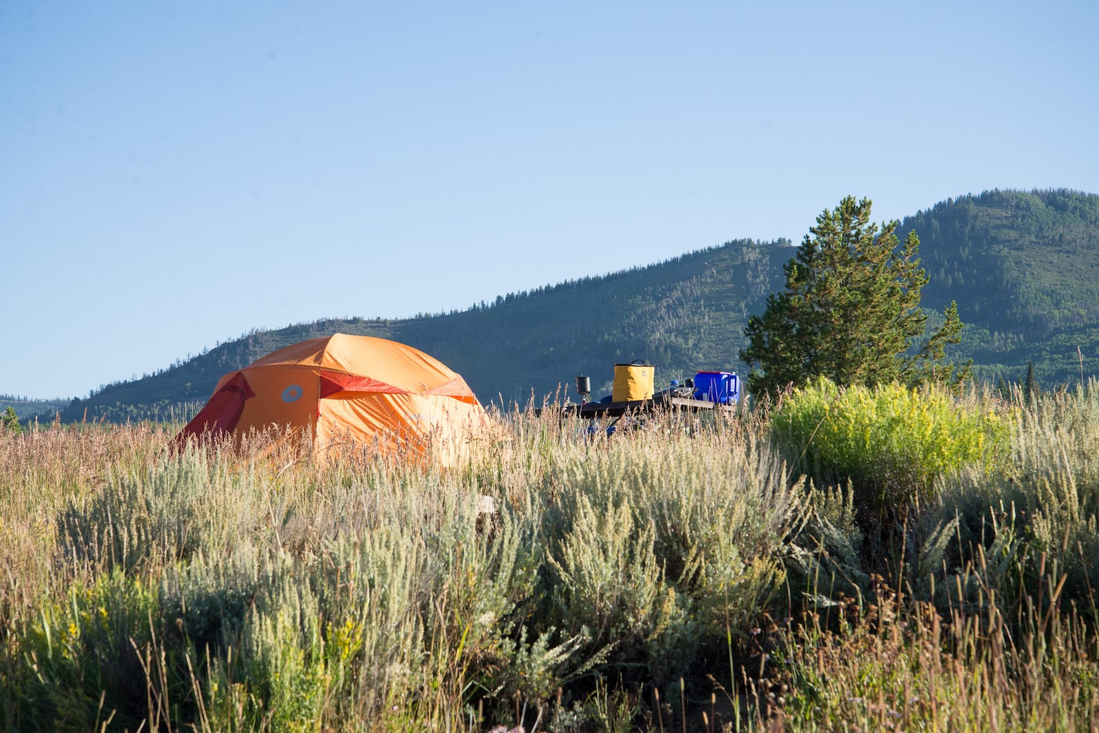
Isolated thirty minutes north of Steamboat Springs via County Road 129, Clark is the perfect place for nature lovers who want to get away from the city. Located between Clark and its northern neighbor Hahns Peak Village, thirty minutes north, are two state parks: Steamboat Lake and Pearl Lake. The communities of Clark and Hahns Peak feature outdoor recreation throughout the year, and restaurants to accommodate the crowds.
Seedhouse Campground and Group Campground
There are two dozen individual campsites, as well as a group camping venue for up to 100 guests. Mountain biking, horseback riding, and hiking are all popular venues along with canoeing, rock climbing, kayaking, off-road vehicles, and rock climbing. Fishing on the Middle Fork of the Elk River is a popular pastime. Wildlife is abundant in the area, along with great opportunities to watch native birds. The area surrounding the campground is inhabited by mule deer, elk, black bears, bobcats, moos,e and coyotes, animals that are often spotted near the campground.
- Closest town: Clark (10mi) Steamboat Springs (28mi)
- Specs: 24 sites, water, vault toilet, open July to late October
- Amenities: Group campground, handicapped-accessible trails, river access, host
- Reservations: Yes,
- Reservations: Yes, at recreation.gov or 877-444-6777, 9 are first-come, first-serve
- Address: Forest Road 400, Steamboat Springs, CO 80487 (Map)
Coulton Creek Campground
Located at Coulton Creek Trailhead Trail #1188 this is a popular area for mountain biking, horseback riding, and hiking. There are no amenities, no toilets and you should bring water with you. This is primitive, free camping at its best. Wildlife is abundant in the area.
- Closest town: Clark (6mi) Steamboat Springs (24mi)
- Specs: Dispersed camping, pack it in, pack it out,
- Amenities: None
- Reservations: No, free camping
- Address: Forest Service Road 429, Clark, CO 80428 (Map)
Hinman Creek Campground
Located on Hinman Creek near the Elk River this campground offers nearby trout fishing. Hiking, mountain biking, and horseback riding are popular on the South Fork Trail just a quarter-mile from the camp. No water is available at the campground, so plan ahead.
- Closest town: Clark (7mi) Steamboat Springs (25mi)
- Specs: 13 sites, no water, vault toilet, open early June to late October
- Amenities: None
- Reservations: No, first-come, first-serve
- Address: US Forest Service Road 440E, Clark, CO 80428 (Map)
Pearl Lake State Park – Poverty Bar Campground
Camping at all Colorado state parks now requires a reservation. This popular campground has two loops with scenic views of Pearl Lake and the surrounding area. A wide variety of outdoor recreation is available including all-terrain vehicles, non-motorized boating, horseback riding, fishing, hiking, mountain biking, off-road vehicle trails, and kayaking.
- Closest town: Clark (8mi) Steamboat Springs (28mi)
- Specs: 36 sites, water, flush toilets, vault toilets, open late May to mid-October
- Amenities: Host, equestrian trail, access to Pearl Lake
- Reservations: Yes, at cpw.state.co.us
- Address: Forest Service Road 63B, Clark, CO 80428 (Map)
Steamboat Lake State Park Campgrounds
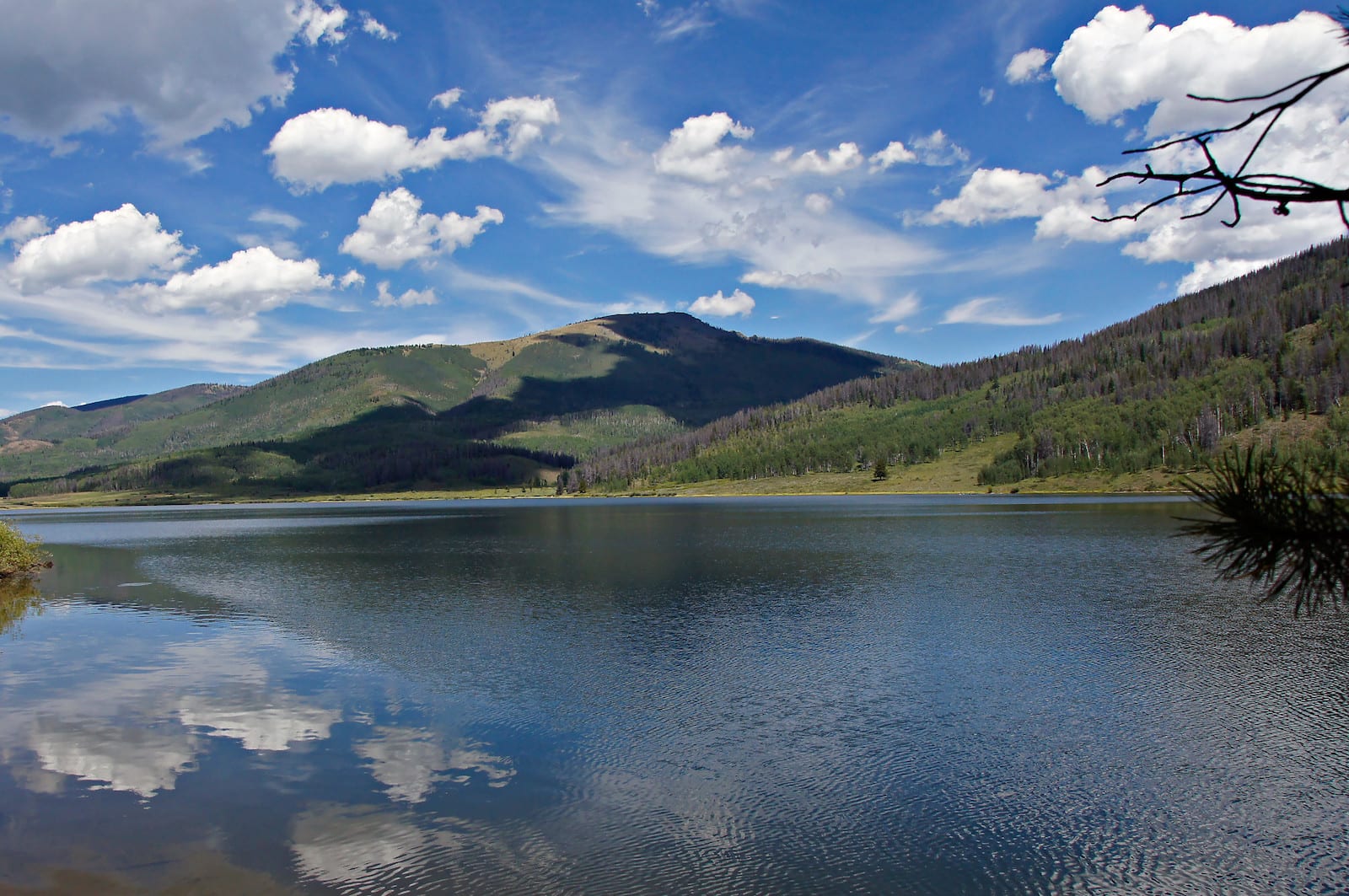
Steamboat Lake is often described as one of the jewels of the Colorado wilderness. With over 1,000 acres of mountain lake, views of Hahn Peak, and proximity to ski areas this lake and the two modern, well-equipped campgrounds on it are extremely popular destinations. You can boat, fish, hike, and ride horses, or mountain bikes while taking in the spectacular scenery. With 188 campsites to choose from you can have a wilderness experience with nearly all the comforts of home. A note to campers, a camping permit is required in addition to a daily or annual vehicle pass.
Dutch Hill Campground
- Closest town: Clark (10) Steamboat Springs (28mi)
- Specs: 78 sites arranged in three loops, water, flush toilets, open
- Amenities: Convenience store, marina, swim beach, showers, laundry, electric sites at Wheeler loop
- Reservations: Yes, at cpwshop.com for the week before Memorial Day to Labor Day, first-come, first-serve remainder of the year
- Address: County Road 62, Clark, CO 80428 (Map)
Sunrise Vista Campground
- Closest town: Clark (10mi) Steamboat Springs (28mi)
- Specs: 110 sites arranged in six loops, water, toilets, open year-round
- Amenities: Close access to laundry, dump station
- Reservations: Yes, at cpwshop.com for the week before Memorial Day to Labor Day, first-come, first-serve remainder of the year
- Address: County Road 62, Clark, CO 80428 (Map)
Hahns Peak Lake Campground
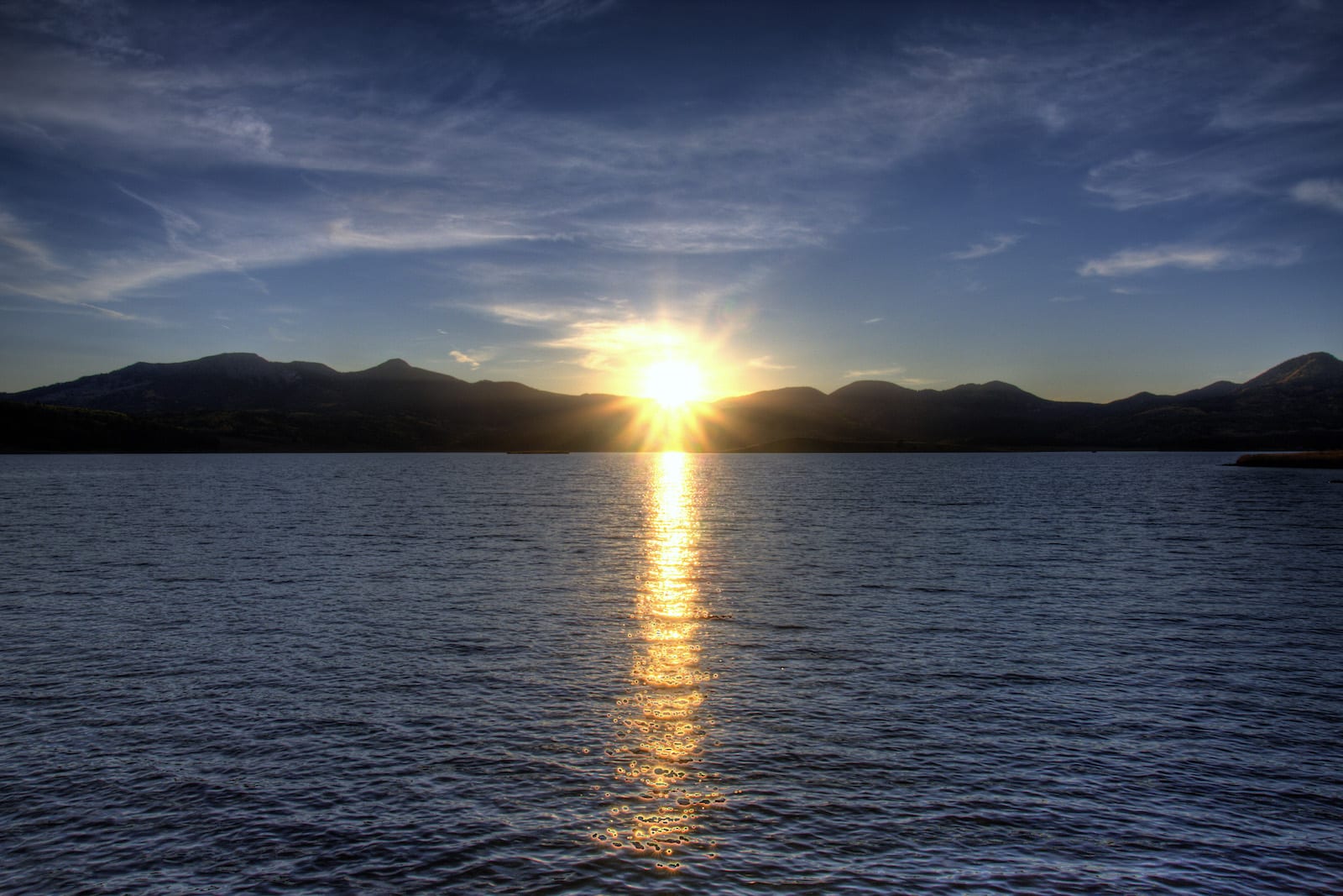
This campground offers non-motorized or electric boating on Hahns Peak Lake, along with terrestrial adventures in biking, and hiking. Anglers can pursue trout from many offshore points or from a boat on the lake. The area is rich in wildlife with bears, bobcats, mule deer, moose, and elk seen often from the campground. There is no water at the campground, plan accordingly.
- Closest town: Clark (14mi) Steamboat Springs (32mi)
- Specs: 23 sites, 3 double sites, no water, vault toilet, late June to snow closure
- Amenities: On the north shore of Hahns Peak Lake
- Reservations: Yes, at recreation.gov
- Address: Forest Road 486, Laramie, CO 82070 (Map)
Consider Kremmling, Walden or Craig
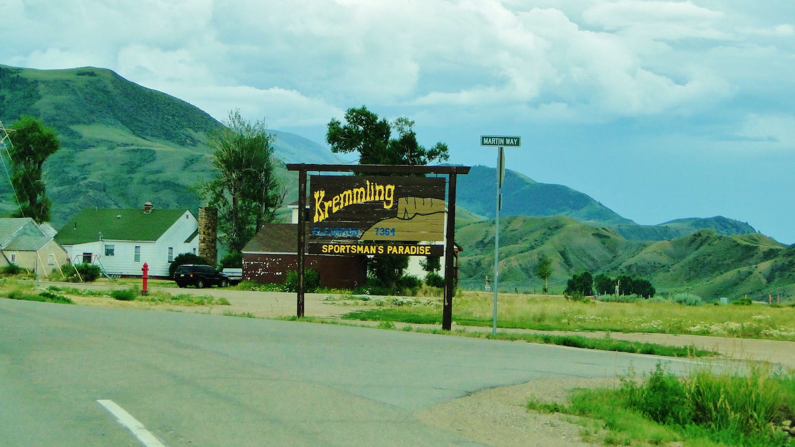
One hour southeast of Steamboat resides the western town of Kremmling. You’ll pass it on your way to Steamboat Springs if coming from Denver, making it quicker to reach for a weekend campout. It’s a bit long to day trip into Steamboat though, but certainly doable from some of the campgrounds near Kremmling. The biggest attraction in town is the outdoors, with several lakes nearby, including Green Mountain and Williams Fork reservoirs.
One hour northeast of Steamboat lies the North Park town of Walden. It’s the county seat and only real town in all of the expansive Jackson County. Unless you’re driving from Fort Collins, you won’t pass Walden on your way to Steamboat Springs. You can detour north just before Rabbit Ears Pass to check out one of Colorado’s least visited regions. There are plenty of cool campgrounds by Walden, like those within State Forest State Park.
About forty-five minutes west of Steamboat puts you at 6,198 feet of elevation in Craig. For those looking to hit up Steamboat Springs just for a day, you can pass through town, see its sights, and then roll onto your campground near Craig. At nearly four hours northwest of Denver, you’ll get away from he crowds here. With a population of around 9,000, there are plenty of businesses in town to outfit your camping trip.
That’s a roundup of the best places to camp around Steamboat Springs, Colo. Remember to practice leave no trace and follow all fire bans

 Colorado’s Best Beaches