Take Highway 285 southwest out of the Mile High metropolitan sprawl and you’ll quickly be driving up, then down, and up the rolling Rocky Mountains. You’ll pass several mountain communities, starting with Conifer, until you finally head up over Kenosha Pass and drop into South Park.
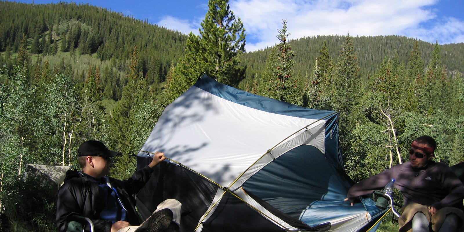
This covers the best camping from Kenosha Pass back northeast to Conifer, giving you a plethora of campsites within an hour of Denver. You can find both dispersed camping and campgrounds along the drive on Highway 285 South after Conifer.
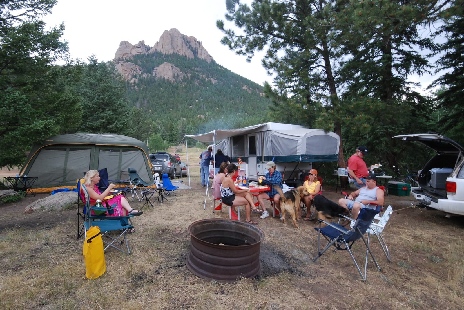
Some of the closest free camping to Denver is in Bailey. In less than an hour from the capital city, you can be pitching your tent or unpacking your RV in the beautiful Rocky Mountain front range. You’ll find plenty of opportunities to access the Pike National Forest on Highway 285.
List of campgrounds by Conifer, Pine and Bailey, CO, in order of proximity:
Camping near Conifer
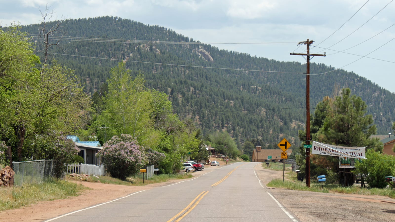
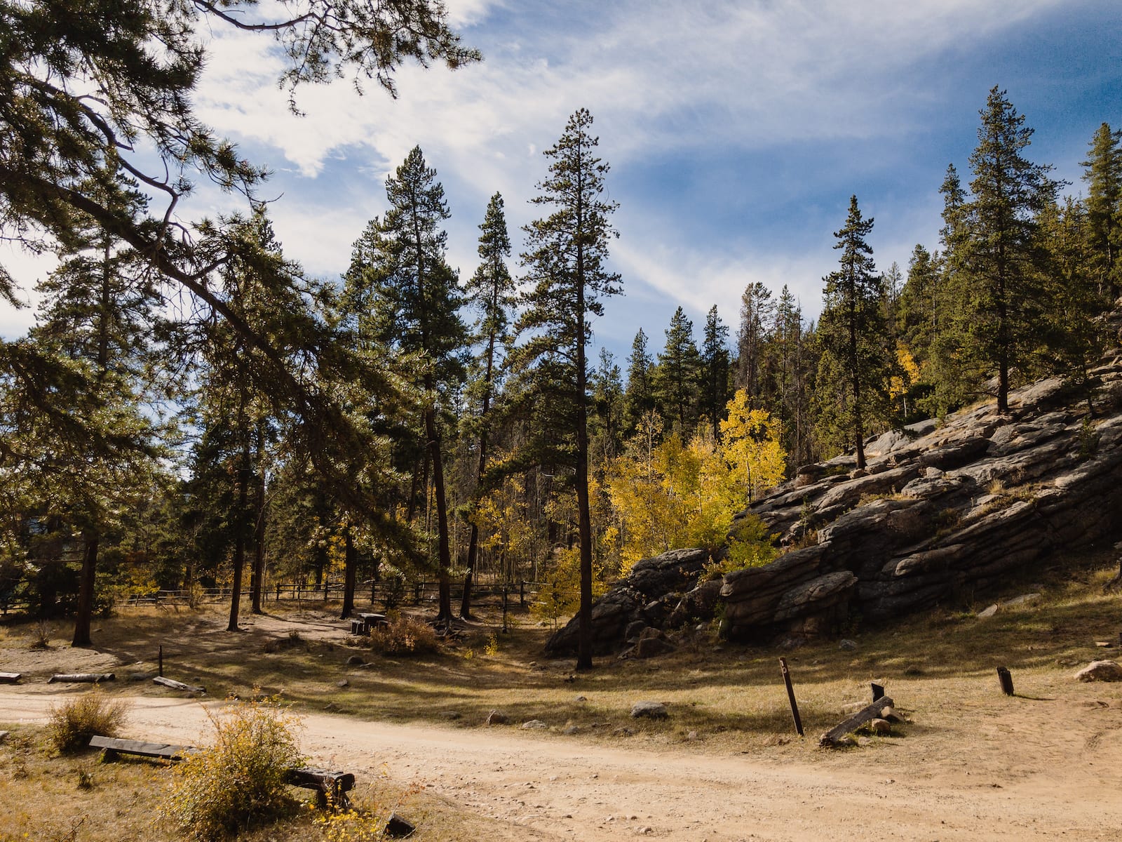
The first commercial community you’ll come to on Highway 285 from the plains is Aspen Park and then very shortly after Conifer. They are essentially the same town. It’s about 30 minutes drive from Denver. There are a few camping options near town, with the best one for tent campers being Staunton State Park. It requires at least a few hundred yards hike to reach your designated campsite though.
Beaver Ranch Park
Looking for a place with a little extra excitement high in the Colorado Rockies? Beaver Ranch Park could be just what you’re looking for. A zipline, disc golf course set near the campground offers something for everyone in the family. A popular site for weddings, reunions and other social gatherings the staff can make your event a memorable one.
- Closest Town: Conifer (1mi)
- Specs: Group camping only, a minimum of 8 individual sites, water, restrooms
- Amenities: Tipi Lodge with showers, refrigerator, stove
- Recreation: Zipline, disc golf, hiking, weddings, and special events
- Address: 11369 S. Foxton Road, Conifer, CO 80433 (Map)
Staunton State Park
There isn’t much in the recreational world of the Colorado Rockies that you can’t do at this campground. From riding horses to geocaching and rock climbing you can find it all at this spacious site with just a short drive. Operated by Colorado Parks and Wildlife it’s a haven for weekend campers from all over the Golden State.
- Closest town: Conifer (7mi)
- Specs: 25 walk-in campsites, water, vault toilet, note: all campsites are 180 to 800 yards from the parking lot, open year-round; reservable
- Amenities: 12×24 tent pad, bear-proof storage box, parking in Meadow Parking Lot, amphitheater, visitors center, dog-friendly
- Recreation: Hiking, fishing, geocaching, horseback riding, hunting, rock climbing
- Address: 12102 S Elk Creek Rd, Pine, CO 80470 (Map)
Rainbow Roundup Trout Ranch & Campground
One of the newest campgrounds in Colorado continues to grow and improve with permanent restrooms replacing portables soon. Located a mile from Staunton State Park it is the perfect launch for a day’s adventure in the mountains. It is one of the most popular fishing spots in the area.
- Closest Town: Conifer (5mi)
- Specs: 30 RV sites, 5 tent sites, 5 popup sites, porta-potties, water RV length to 45’, open year-round; reservable
- Amenities: Stocked fish pond, 20 & 50 amp RV (charge by KW/Hr for RV), 20 amp tent outlets (free shared electricity)
- Recreation: Fishing on Elk Creek and trout pond, hiking, biking, horseback riding, rock climbing
- Address: 32234 Fish Pond Way Pine, CO 80470 (Map)
Camping near Pine
Shortly after Conifer, you’ll reach Pine Junction on Highway 285. At the traffic light there you’ll see the Pine Junction Country Store, Crossroads Restaurant and an opportunity to go south (left) on Pine Valley Road down to the neat little town of Pine. It’s a neat area home to some cool sightseeing in the form of creekside houses and natural landmarks. If you continue south of Pine you’ll come to more camping near Deckers and epic fishing on the South Platte River.
Kelsey Campground
Mild summer temperatures make this campground a perfect place for overnight camping or just a day trip. The nearby Kelsey Overlook on County Road 126 offers beautiful, scenic views of this iconic mountain valley.
- Closest town: Pine Junction (16mi)
- Specs: Tent camping, vault toilets, water, no-hookups, open year-round; reservable
- Amenities: Inside the Buffalo Creek Recreation Area with a 40-mile trail system.
- Recreation: hiking, horseback riding, rock climbing, mountain biking, and trout fishing
- Reservations: Yes, at recreation. gov
- Address: Everett Avenue, Pine Junction, CO 80470 (Map)
Buffalo Campground
It’s just far enough away to escape the rigors of urban life and still close enough to get there quickly. Near Buffalo Creek at 7,400′ elevation, the nights are cool and the days are warm during the summer season, creating the perfect climate for camping in the spectacular Colorado wilderness.
- Closest town: Bailey (11mi)
- Specs: 38 campsites, vault toilet, water, Open May 15 – September 30; reservable from May 15 to September 7; first-come, first-serve from September 8-30
- Amenities: Campground is arranged in an inner and outer circle creating easy access to water and toilets for all campers. A road connects each campsite. Self-pay station for late-season camping.
- Recreation: Hiking, mountain biking, horse riding, and trout fishing.
- Address: Forest Road 550, Pine, CO 80470 (Map)
Green Mountain Campground
The campground offers a wonderful experience for picnicking, fishing, and exploring by daytime visitors and established campsites for those staying a few days. The campground is located a few hundred yards from the parking lot and you’ll cross several wooden bridges over the creeks flowing around the area.
- Closest Town: Bailey (12mi)
- Specs: Tent camping only, you must walk to your site from the parking lot, vault toilet, no water, open year-round; first-come, first-serve
- Amenities: Popular day-use area for picnics, creeks run close to camp, several footbridges over creeks
- Recreation: Hiking, fishing in nearby streams
- Address: 20950 S Buffalo Creek Rd, Pine, CO 80470 (Map)
Camping near Bailey
Bailey is a small Highway 285 community surrounded by mountain forests. There is a brief downtown section of shops and restaurants, as well as other businesses on Highway 285. Bailey is blessed with a lot of camping opportunities close to town, with some of the closest free dispersed camping to the Mile High City.
Glen Isle Resort Camping
This award-winning resort is approaching its centennial celebration. Rustic cabins, a large events center, and a rustic lodge highlight the 150-acre expanse with the clear presence of historical ambiance. It is a perfect setting for weddings, family reunions, or corporate getaways. Cabins are spread out across the evergreen-laden property along a fast-moving stream, adding nature’s own soundtrack to the background during your stay.
- Closest town: Downtown Bailey
- Specs: 14 cabins sleeping 2 to 10 people, tent camping, water, restrooms, open year-round; reservable
- Amenities: Lodge, Kiva Event Center, capacity for large group events
- Recreation: Biking, fishing, hiking, climbing, viewing wildlife, off-road vehicles
- Address: 573 Old Stagecoach Rd, Bailey, CO 80421 (Map)
Castle Mountain Recreation Wellington Lake
This private year-round campground gives you access to private Wellington Lake, which is also available for day use. The campsites are pet-friendly and very popular during summer weekends, so reserve well in advance. Choose from 75 sites between Lakeside, Hillside, and Mountain Road campsites, 12 of which are group campgrounds, plus 2 even larger group camping areas.
- Closest Town: Bailey (10mi), Pine (12mi)
- Specs: 75 campsites suitable for tents and RVs, 12 group campsites; Each individual site accommodates up to 6 people and 2 vehicles, group sites up to 15 people and 5 vehicles, large group camping areas up to 150 people and 50 vehicles; reservable up to 3 months in advance
- Amenities: Picnic table, fire ring, pet friendly, no hookups
- Recreation: Hiking, fishing in Wellington Lake
- Address: 21843 Stoney Pass Rd, Bailey, CO 80421 (Map)
Meridian Campground
Quiet, cool evenings and sunny, summer afternoons at 9,000 feet above sea level greet visitors to this campground. The Colorado peaks stretch to the sky above the campground with abundant wildlife in easy view. Trails to explore, fish to catch and scenery to soothe the weary soul are all attractions to this forested area.
- Closest town: Bailey (11mi)
- Specs:18 campsites, parking spur, vault toilets, water, open Memorial Day to Labor Day; first-come, first-serve
- Amenities: Many trails leading to Mount Evans Wilderness Area
- Recreation: Hiking, stream fishing
- Address: Prospectors Way, Bailey, CO 80421 (Map)
Deer Creek Campground
The bubbling water of Deer Creek and Camp Creek as they merge near the camp fills the air with the relaxing sounds of nature. Nearby trails offer views of wildlife and majestic scenery in the Pike and San Isabel National Forests.
- Closest town: Bailey (11mi)
- Specs: Tent camping, vault toilet, water, open year-round; first-come, first-serve
- Amenities: Full-service campground during the peak summer season, reduced services in extended seasons
- Recreation: Hiking, fishing on Deer Creek and Camp Creek
- Address: Deer Creek Road, Bailey, CO 80421 (Map)
Camping near Grant on Guanella Pass
Just 11 miles west of Bailey lies the tiny town of Grant and the junction for Forest Service Road 381 north to Guanella Pass. This is a seasonal drive to Georgetown and Interstate 70. Only the Park County side of the pass allows free dispersed campsites, although both sides (including Clear Creek County) have USFS campgrounds. We’ll cover the ones on the Highway 285 side of Guanella Pass. One of the biggest attractions to the pass, aside from the stunning auto tour, is hiking the 14er, Mt Bierstadt.
Burning Bear Campground
Cool temperatures, and scenic landscapes at an elevation of 9,813’. Wildlife is abundant for hikers and sightseers alike. Mount Bierstadt, soaring to 14,060 feet is nearby, named for 19th-century western landscape artist Albert Bierstadt.
- Closest town: Grant (5mi)
- Specs: 13 campsites for RV, trailer and tent camping, vault toilets, water, open year-round; reservable
- Amenities: Campground host during peak season. The first five miles from Grant plowed in the winter.
- Recreation: Hiking, wildlife viewing, fishing, mountain biking
- Address: Geneva Rd, Grant, CO 80448 (Map)
Geneva Park Campground
At 9,815 feet above sea level, this campground offers cooler temperatures in the summer months. Sitting along the Guanella Pass Scenic Byway it is the perfect location for wildlife and landscape photography or just sitting and viewing the pristine Rocky Mountain wilderness.
- Closest town: Grant (7mi)
- Specs: 19 RV sites, 7 tent-only sites, water, vault toilet; reservable
- Amenities: Driveway entry to RV sites, back in only
- Recreation: Hiking, mountain biking, access to 4-wheel drive roads
- Address: Duck Creek Road, Dillon, CO 80435 (Map)
Camping near Grant on Kenosha Pass
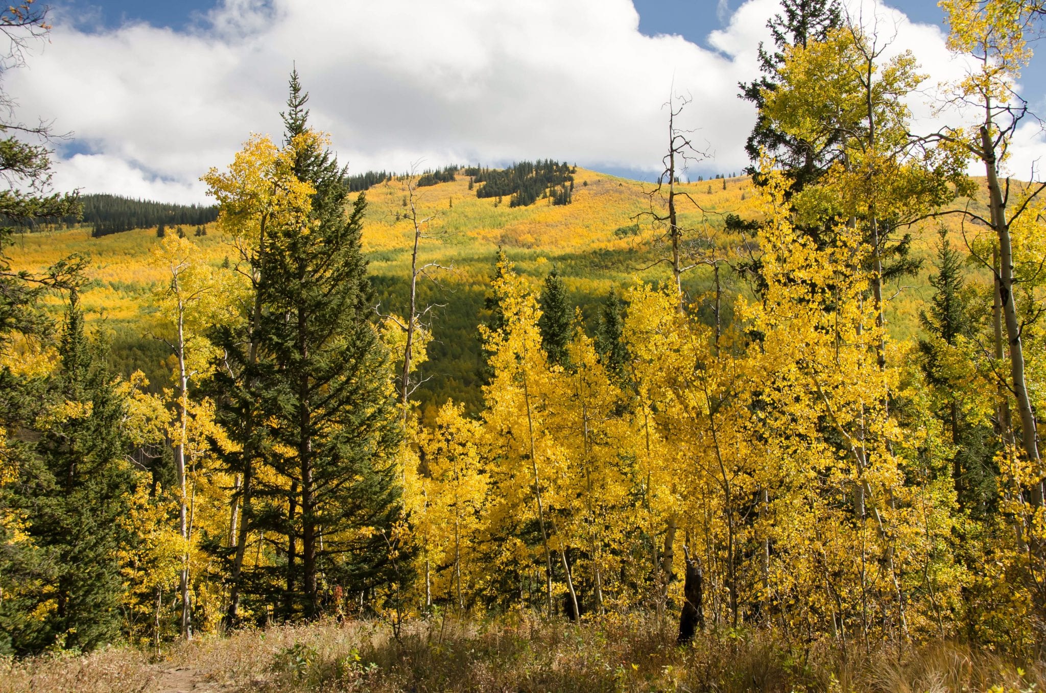
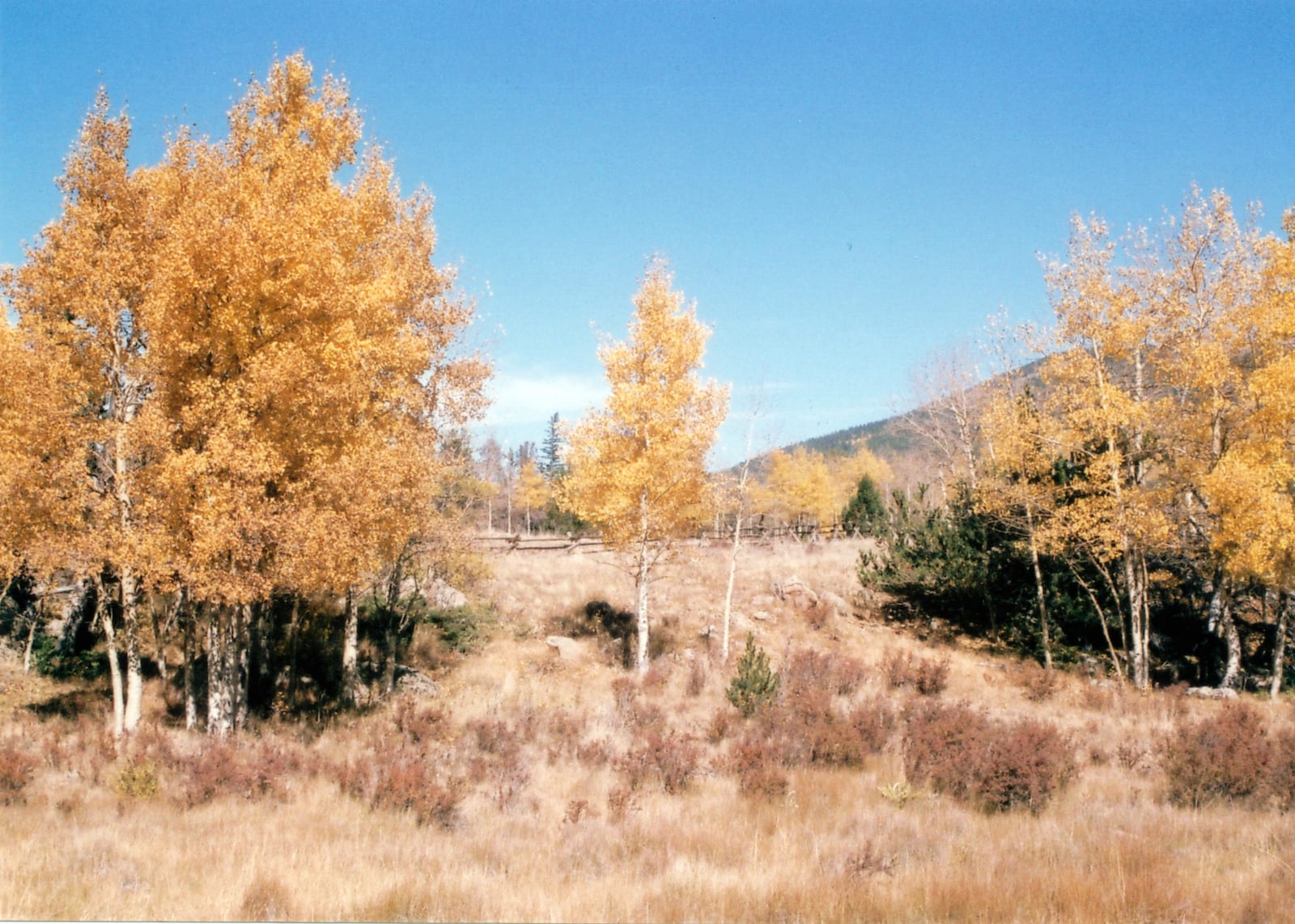
Continuing past Grant on Highway 285 leads you up Kenosha Pass. It’s a gorgeous drive in the fall when the colors are changing. There are a couple of campgrounds at the 10,000-foot-high summit, as well as another one on the way up the pass-off in the national forest. The opposite side of Kenosha Pass leads down in the South Park basin, and onto Jefferson and Fairplay.
Timberline Campground
Groves of aspens bring music on the breeze to the summer evenings and spectacular arrays of color during the autumn. Wildlife abounds in the area including golden eagles, porcupines, chipmunks, moose, mule deer, and elk.
- Closest town: Grant (7mi)
- Specs: 30 sites, RV and tent, No water, vault toilet, open May 15 to December 31; reservable May 15 to September 7, fee, first-come from September 8 to December 31
- Amenities: Arranged in a double loop for closer access to vault toilet and picnic tables. The campground is near the 471-mile trail that connects Denver with Durango. Visitors may also enjoy fishing in Hoosier Creek.
- Recreation: Fishing in Hoosier Creek, horseback riding, hiking.
- Address: Forest Road 125A, Jefferson, CO 80456 (Map)
Handcart Campground
The reddish tint to Hall Creek is evidence of an active mine near the campground. While this is a pack-it-in, pack-it-out campground, it remains a favorite of off road vehicle enthusiasts. The campground is set in a dense grove of lodgepole pine.
- Closest town: Grant (7mi)
- Specs: 10 tent-only campsites, vault toilet, water, open year-round; first-come, first-serve
- Amenities: Close proximity to streams and small alpine lakes.
- Recreation: Fishing, hiking, horseback riding, off-road vehicles, mountain biking
- Address: County Road 60, Dillon, CO 80435 (Map)
Kenosha Campground
Groves of aspen and lodgepole pine surround this high altitude campground. At 10,000 this is “High Country” camping at its best. Historic Kenosha pass was once the site of the South Park and Pacific railroads as they traversed the backbone of the Rockies. Spectacular views of Mount Evans and Mount Bierstadt are available throughout the campground.
- Closest town: Grant (7mi)
- Specs: 25 campsites, RV, trailer and tent, spurs are 16-30’ long, water, vault toilet, open May to September 30; reservable from June 1 to September 7, first-come, first-serve Sept 8-30
- Amenities: The Colorado Trail from Denver to Durango goes through this campground
- Recreation: Hiking, fishing, mountain biking, horseback riding
- Address: Forest Road 849, Jefferson, CO 80456 (Map)
Kenosha East Campground
The now-defunct South Park and Pacific Railroads once dragged trains up the mountainous slopes nearby with helper engines from Webster on the east side to Como on the west side of Kenosha Pass. A wetland interpretive area is adjacent to the campground creating an interesting meeting of different biomes.
- Closest town: Grant (7mi)
- Specs: 7 campsites RV, trailer and tent, water, vault toilet, open year-round; first-come, first-serve
- Amenities: Can accommodate larger RVs and trailers,
- Recreation: Hiking, fishing on Snyder Creek, wildlife viewing
- Address: US Highway 285, Grant, CO 80448 (Map)
Those are among the best places to camp near the Highway 285 towns of: Conifer, Pine, Bailey and Grant. Have a great time out there and leave no trace.
 Camping near Limon in Eastern Colorado