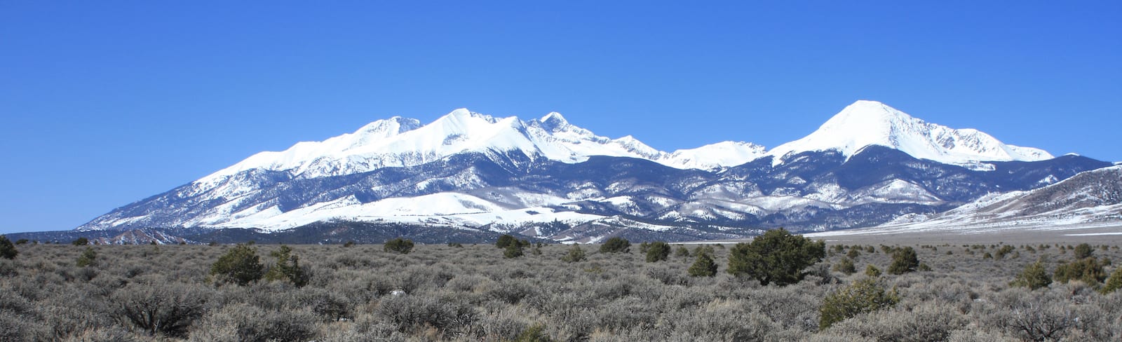
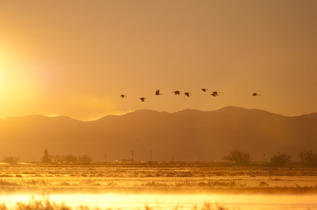
The San Luis Valley is one of Colorado’s most unique places to camp, from its UFO sightings to the gigantic dunes of sand at the base of the Sangre de Cristos. The area is loaded with campgrounds in the San Luis Valley, including near Alamosa, Antonito, Crestone, Del Norte, Fort Garland, Blanca, Monte Vista, Saguache, South Fork, Villa Grove, and the Great Sand Dunes.
Whether you’re RV camping on the grid in a local town, way off the grid at a national forest campground, or even a free, dispersed campsite, we’ve curated a list of suitable places to camp. Each section of the San Luis Valley (SLV) showcases something different and wonderful.
Most of the in-town campgrounds are RV parks, which may or may not contain good sites for tents. Your best bet for pitching a tent is in either the Rio Grande National Forest or Sand Dunes National Park. We’ve divided them among the most popular San Luis Valley destinations.
Camping in Rio Grande National Forest by San Luis Valley
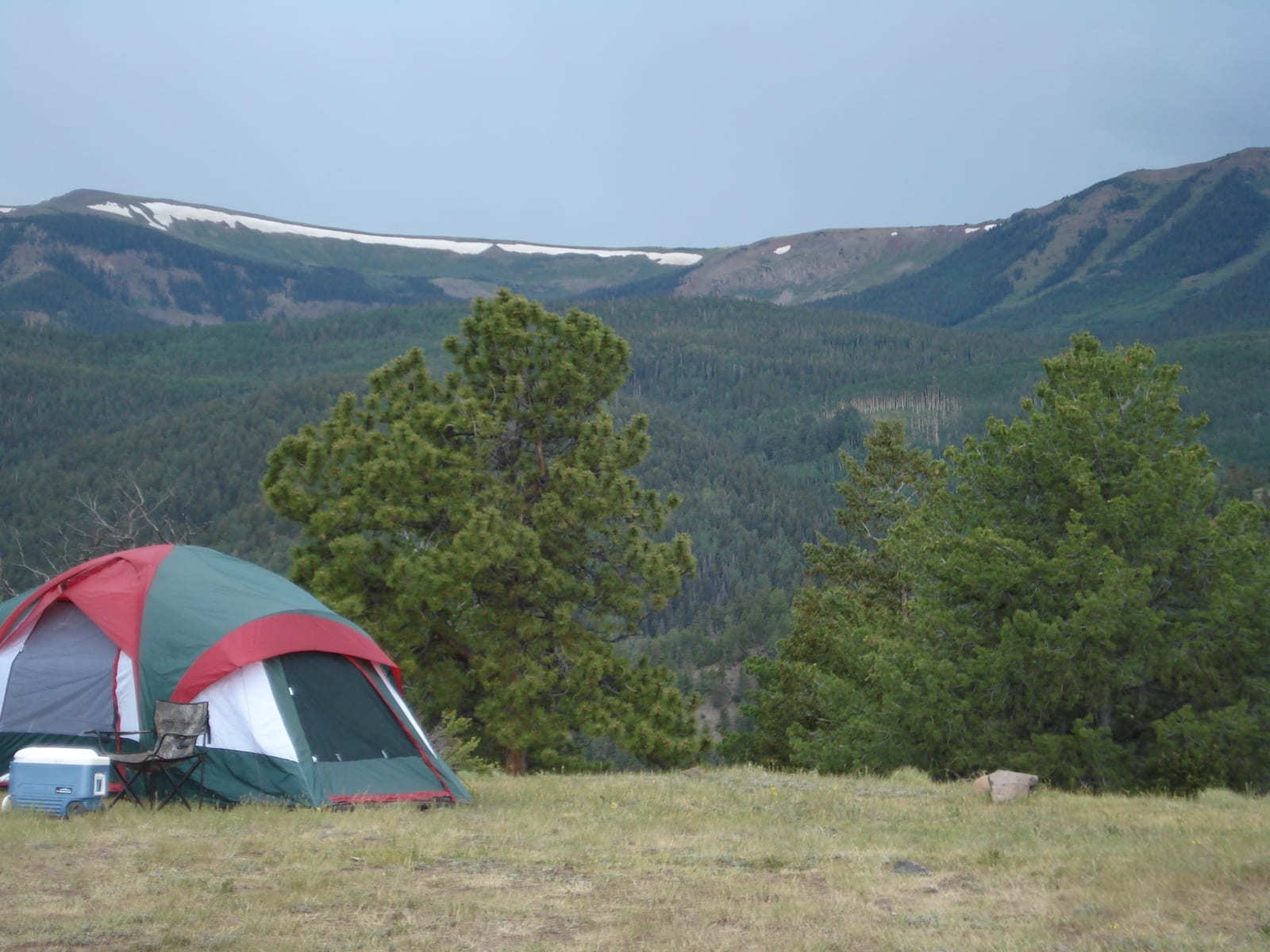
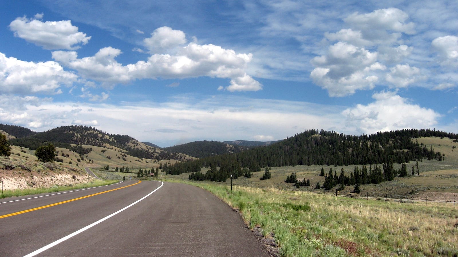
Head west or east anywhere in the sprawling SLV and you’ll reach the Rio Grande National Forest. From north to south, you can find various entry points, depending on the town you want to stay closest to, or the recreation you’re looking for.
These take a little bit longer to reach, but you’ll be rewarded with a true Colorado camping experience, in a mountain forest. The Rio Grande holds many treasures, such as the Natural Arch in the landmark-rich Penitente Canyon area.
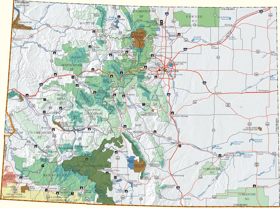
Dispersed Camping – Free camping in the Rio Grande National Forest is fairly easy to come by, surrounding the San Luis Valley. Coupled with Google to get the bigger picture of the geography and county road names, it’s simple enough to use a vehicle motor use map of the Rio Grande National Forest. Where dispersed camping is permitted is displayed by a couple of dots beside the Forest Service Road # (FSR).
Map: Rio Grande NF (shown in dark green) (.png)
Motor Vehicle Use Maps: Large, PDFs from the USFS. They show forest service roads and where dispersed camping is permitted.
- Conejos Peak – West – Monte Vista, Alamosa
- Conejos Peak – East – Alamosa
- Divide – West – Creede
- Divide – East – Saguache, Creede, South Fork, Del Norte, Monte Vista
- Saguache – West – Saguache, Poncha Springs
- Saquache – East – Villa Grove, Poncha Springs
Here are the camping spots around the towns of the San Luis Valley, in alphabetical order:
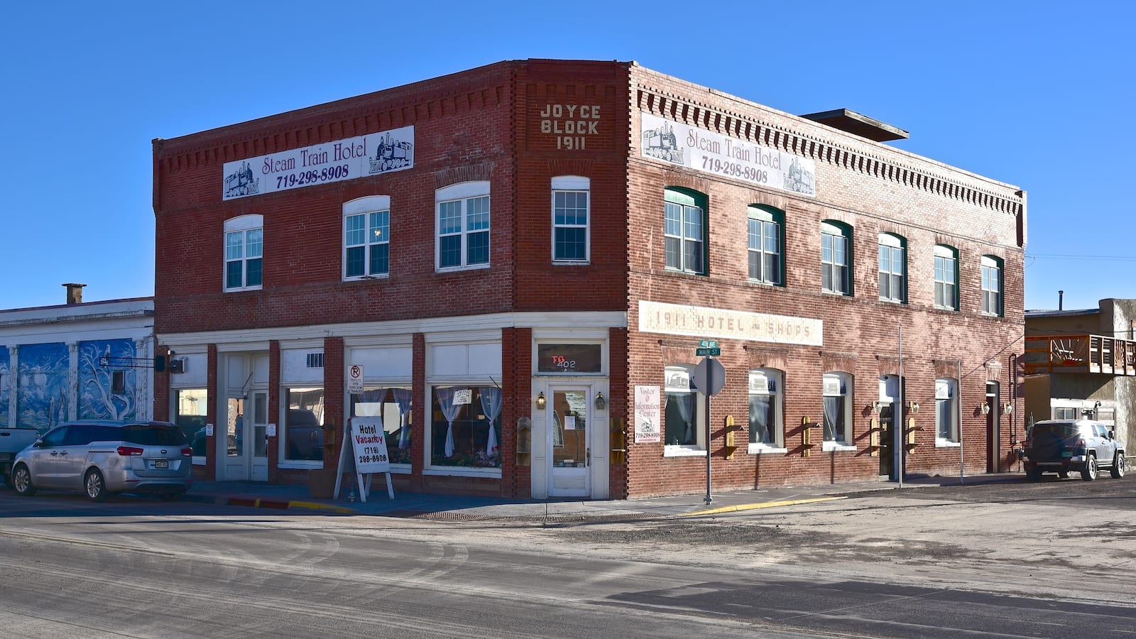
Camping near Alamosa
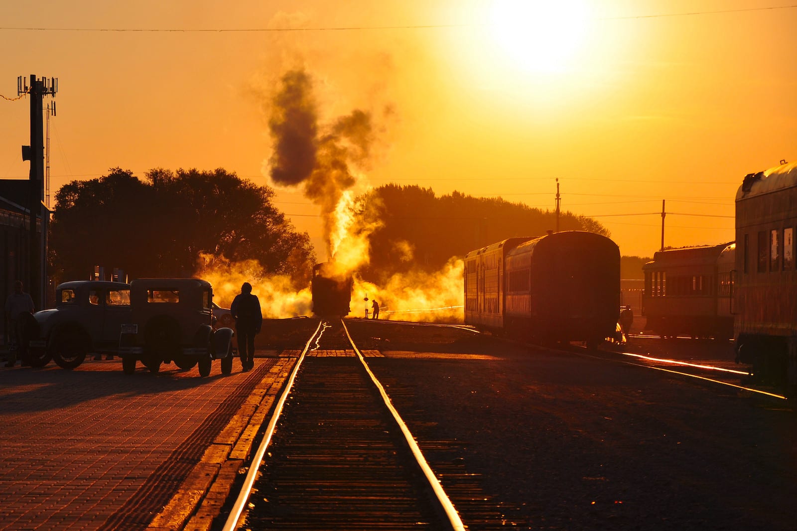
Alamosa is the biggest town in the SLV, making it the commercial hub. It has around 10,000 residents. There are several RV parks in town, including a KOA. Basing your camp in Alamosa puts you in the center of it all, and close to all the major attractions of the SLV. There are plenty of places to eat, shop, and play close to town. Board the Rio Grande Scenic Railroad, for a fun train ride east to Fort Garland and onto La Veta.
Cool Sunshine RV Park
- Closest town: Alamosa (<1mi)
- Specs: 41 RV sites, 6 tent sites, 50 amp electric service, maximum RV length 92 feet, open 12 months a year
- Amenities: Pets allowed, gated, walking distance to downtown shops and restaurants, fitness center, laundry, putting green, Wi-Fi
- Address: 1055 7th St, Alamosa, CO 81101 (Map)
Alamosa KOA Journey
- Closest town: Alamosa (<1mi)
- Specs: 63 RV sites, 6 tent sites, 100 feet maximum length, 50 amp service, open 12 months a year
- Amenities: Pool (in summer), Wi-Fi, dog Park, bike rentals, snack bar, community pavilion, playground, basketball court, horseshoe pits, fire rings, pancake weekends
- Address: 6900 Juniper Lane, Alamosa, CO 81101 (Map)
Base Camp Family Campground
- Closest Town: Alamosa (7mi)
- Specs: 13 RV sites, 12 tent sites, 112’ maximum length, 60-degree angled sites, 50 amp service, open 12 months a year
- Amenities: Showers, laundry, Wi-Fi
- Address: 7001 Base Camp Road, Alamosa, CO 81101 (Map)
Sand Dunes Swimming & RV Park
- Closest town: Alamosa (19mi)
- Specs: 10 RV sites, full hookup, 10 dry sites, open year-round
- Amenities: Restroom, restaurant, store, golf simulator
- Address: 1991 County Road 63, Hooper, CO 81136 (Map)
Camping near Antonito
This historic railroad town is located in the southern SLV, not too far from the New Mexico border. At around 800 people, Antonito is considerably smaller than Alamosa, 30 minutes to the north. The main attraction in town is the Cumbres & Toltec, which offers scenic train rides to Chama, NM, and back. Basing here will give quick access to board the train and explore the Rio Grande National Forest just to the west.
Twin Rivers Cabins & RV Park
- Closest Town: Antonito (6mi)
- Specs: 39 RV sites, 11 pull-through 156 tent sites, water, 50 amp service, full hookups, open year-round
- Amenities: Shower, rest room, dog park, horse corral, playground, an enclosed pavilion, fishing
- Address: 34044 Colorado Highway 17, Antonito, CO 81120 (Map)
Mogote Meadow Cabins & RV Park
- Closest town: Antonito (6mi)
- Specs: 70+ RV sites on seven acres, tent sites, 30/50 amp, full hookups, open year-round
- Amenities: Wi-Fi, showers, propane, laundry, fishing, hiking, narrow gauge railroad, recreation room, Pancake Sundays
- Address: 34127 Colorado Highway, Antonito, CO 81120 (Map)
Mogote Campground
- Closest town: Antonito (15mi)
- Specs: 12 campsites, water, vault toilet, Open May 22 – September 6; reservable
- Amenities: Reservations through reservation.gov, individual/group sites, picnic tables, fire rings, fishing on Conejos River
- Address: CO Hwy 17, Antonito, CO 81120 (Map)
Aspen Glade Campground
- Closest town: Antonito (15mi)
- Specs: 32 campsites, no electricity, vault toilet, water, open late-May to mid-Sept; reservable
- Amenities: Fire pit, trailheads, no horses
- Address: CO Hwy 17, Antonito, CO 81120 (Map)
Elk Creek Campground
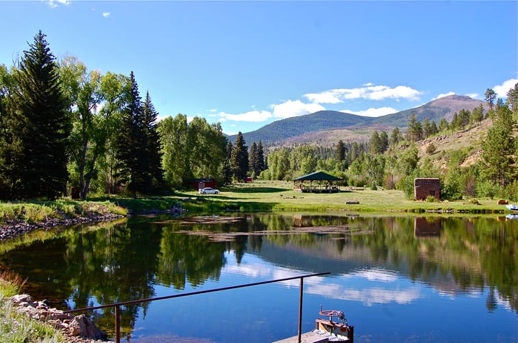
This 3-loop campground, west of Antonito, is a lightly treed campground, which provides good access to the South San Juan Wilderness. It has public access to both Conejos River and Elk Creek. Consider hiking several nearby trails: Elk Creek Trail 731, Duck Lake 732, and Poso Trail 732.
- Closest town: Antonito (23mi)
- Specs: 31 sites with, open Memorial weekend; reservable
- Amenities: Tables and fireplaces, drinking water, trash service, 3 vault toilets
- Recreation: Hiking in South San Juan Wilderness, Fishing in Elk Creek – flies, lures & bait
- Address: FSR 250, Antonito, CO 81120 (Map)
FREE – Dispersed Camping CO Hwy 17/FSR 128
This is among the closest free, dispersed camping to Antonito. Plug Elk Creek Campground into your GPS and the file stretch after your turn off CO Hwy 17 has some primitive campsites along it.
- Closest town: Antonito (23mi)
- Address: FSR 128, Antonito, CO 81120 (Map)
- Directions: Follow directions to Elk Creek Campground above. The final road FSR 128 allows dispersed camping alongside it.
Ponderosa Campground
- Closest town: Antonito (24mi)
- Specs: 25 RV / tent sites, 30 amp service, water, restroom, open mid-May to end of September
- Amenities: Fishing, showers, cabins, premier cabin, daily / weekly / monthly rates
- Address: 18584 CO Hwy 17, Antonito, CO 81120 (Map)
Spectacle Lake Campground
- Closest town: Antonito (28mi)
- Specs: 24 RV sites, 13 pull thru, vault toilet, water
- Recreation: Fishing, hiking
- Address: 18296-18698 CO Hwy 17 Antonito, CO 81120 (Map)
Conejos Campground
- Closest town: Antonito (29mi)
- Specs: No water, vault toilet, open Memorial day to snow closure
- Recreation: Fishing, hiking
- Address: Forest Service Road 250, Antonito, CO 81120 (Map)
Trujillo Meadows Campground
- Closest town: Antonito (37mi)
- Specs: 50 sites, maximum RV length 40’, water, toilet, open mid-June – Labor Day; first-come, first-serve
- Amenities: Accessible, tent camping, toilets, drinking water
- Recreation: Boating, fishing, hiking
- Address: Forest Rd 118, Antonio, CO 81120 (Map)
Lake Fork Campground
- Closest town: Antonito (39mi)
- Specs: 18 campsites; reservable, also has 8 first-come, first-serve sites
- Recreation: Hiking, fly-fishing
- Address: Forest Service Road 250, Antonito, CO 81120 (Map)
Mix Lake Campground
- Closest town: Antonito (46mi)
- Specs: Currently closed from Spruce Beetle infestation, 22 single sites, no reserve, open Memorial Day to snow closure
- Recreation: Hiking, fishing
- Address: FDR 250B, Del Norte, CO 81132 (Map)
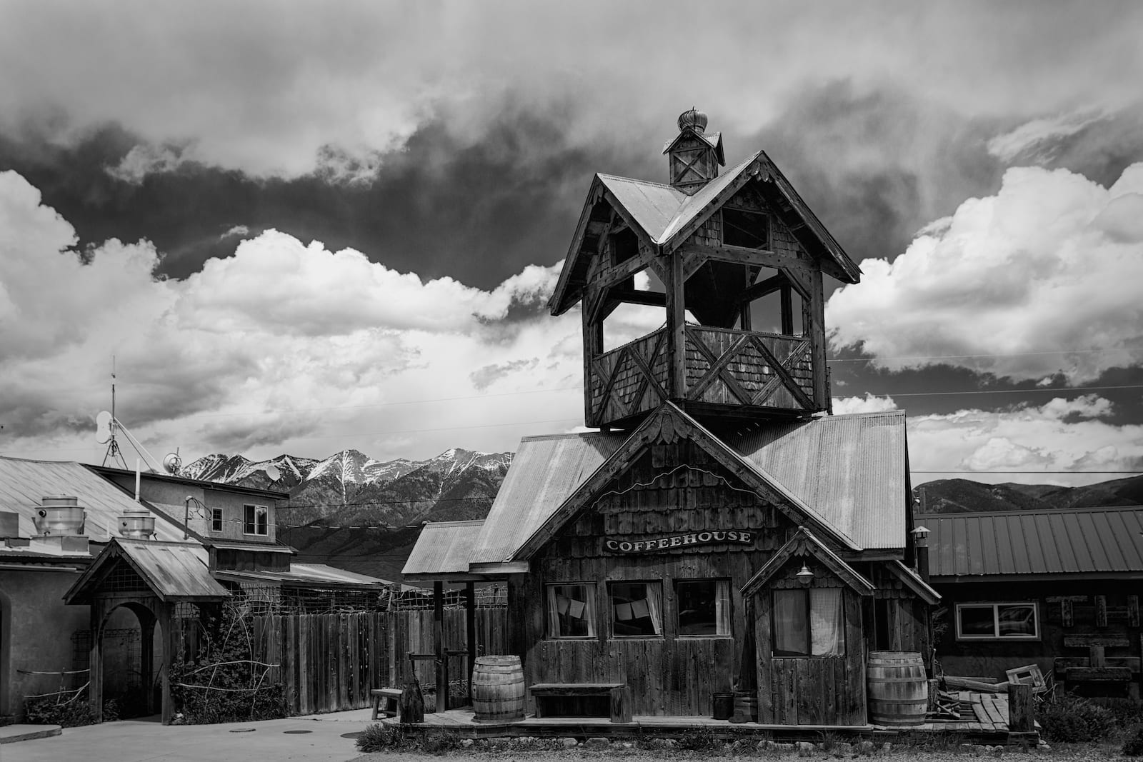
Camping near Crestone
Most travelers pass by the San Luis Valley CO-17 turn-off for Crestone without ever second-thinking the funky little town that resides at the base of the Sangre de Cristo Mountains. It lies 12 miles west, a simple 15-minute detour from the vastness of the valley floor. There are enough facilities to get by, but the largest resources will be nearly an hour south in Alamosa. The town features a lot of great hiking and a myriad of cultural/religious retreats here.
North Crestone Campground
- Closest Town: Crestone (3mi)
- Specs: 13 campsites, one pull-through, no water, vault toilet, open June – September; first-come, first-serve
- Recreation: Fishing, hiking
- Address: U71, Crestone, CO 81144 (Map)
Camping near Del Norte
South Fork’s eastern neighbor, Del Norte, is a similar base camp, although it’s larger at around 1,500 people. Like Alamosa, it’s convenient to reach all of the SLV from here, making it a great base camp for folks looking to have facilities like restaurants and shops close by. Del Norte has a nice, little historic district with enough of what you need for an outdoor-centered vacation.
Woods and River RV Park
- Closest town: Del Norte (<1mi)
- Specs: 36 RV sites, 29 tent sites, full hookup, 15, 30 & 50 amp service
- Amenities: Laundry, bathhouse, pavilion, footbridge, gazebo
- 4317, 25 Alder St, Del Norte, CO 81132 (Map)
Penitente Canyon Campground
- Closest town: Del Norte (12 mi)
- Specs: Two campgrounds: open year-round; Penitente Canyon: nine walk-in sites, four drive-in sites, two group sites, toilet, no water; Witches Canyon: eight walk-in sites, no toilet, no water,
- Recreation: Climbing, hiking, horseshoes, mountain biking
- Address: Colorado Road 38A, Del Norte, CO 81132 (Map)
Camping near Fort Garland/Blanca
Highway 160 neighbors, Fort Garland and Blanca, are eastern gateway towns to the SLV. If you’re coming from the front range, and want an easier retreat back to I-25 at the end of your campout, these two towns fit the description.
Like most small summer tourist towns in the Rockies, you won’t find everything here, but they each have the commercial businesses you should need to get by. You can board the Rio Grande Scenic Railroad in Fort Garland west to Alamosa or east to La Veta.
Ute Creek RV Park
- Closest town: Fort Garland (<1mi)
- Specs: RV sites, full hookup
- Amenities: Wi-Fi, handicapped accessible, biking, hiking, heated indoor pool, hot tub, fishing
- Address: 071 5th Ave, Fort Garland, CO 81133 (Map)
Blanca RV Park
- Closest town: Blanca (<1mi)
- Specs: 26 RV sites, 24 pull-through, open May to October
- Amenities: Convenience store, gas station, propane, Wi-Fi, RV rental trailer
- Address: 521 Main Street, Blanca, CO (Map)
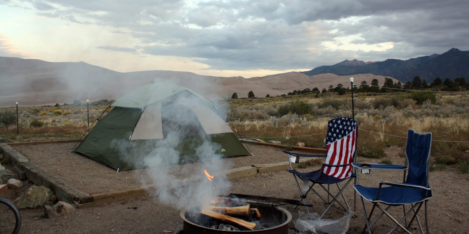
Camping near Great Sand Dunes
Chances are high that if you’re visiting the region, the Great Sand Dunes are on your bucket list. So if you’re looking to climb to the top of the dunes, it makes sense to get an early start (before the sand gets scorching) and base in the park. There’s one big campground in the park, as well as some 4×4 primitive camping on Medano Creek.
There’s another private campground located just outside the park too. And listed below in the Rio Grande N.F., Zapata Falls Campground makes an excellent base for the Dunes as it’s only a few miles south.
Piñon Flats Campground
- Closest Town: Alamosa (35mi)
- Specs: 88 campsites, RV maximum length 35’, no hookups, open April to October, 3 group sites,
- Amenities: Restrooms, sinks, flush toilets, pets allowed, reserve through reservations.gov – at least four days before arrival
- Address: 11999 CO Hwy 150 Mosca, CO 81146 (Map)
Great Sand Dunes Oasis
- Closest town: Alamosa (30mi)
- Specs: 20 full-hookup RV sites, plus primitive wilderness tent sites, group site, 4 cabins for rent, motel lodging, pets-welcome in camping not cabins or lodging, open 4/1 to 10/15; reservable only for RV sites, cabins, and lodging, primitive tent sites are first-come, first-serve
- Amenities: Individual BBQ grills and campfires, group fireplace, toilets, water, showers, restaurant, convenience store
- Recreation: Fishing, sand boarding, hiking, mountain biking, train ride
- Address: 7800 CO-150, Mosca, CO 81146 (Map)
Zapata Falls Campground
- Closest town: Alamosa (29mi)
- Specs: 23 campsites, 1 group campsite, vault toilet, no water, open year-round
- Recreation: Hiking, waterfall
- Address: Highway 150, Mosca, CO 81146 (Map)
Camping near Monte Vista
Monte Vista is a fair town located just 20 minutes drive west of Alamosa on Hwy 160. With more than 4,000 in population, there are plenty of resources for your campout. Most of the camping near Monte Vista is situated west of town in the Rio Grande National Forest. There are several free campsites, fairly primitive, but with toilets and access to Alamosa in under an hour.
FREE – Rock Creek Campground
- Closest town: Monte Vista (17mi), Alamosa (32mi)
- Specs: 10 RV sites, three pull-through, no fees, no reservations, vault toilets, no water, open May to snow closure
- Recreation: Fishing, no horses
- Address: Forest Rd 28, Monte Vista, CO 81144 (Map)
FREE – Alamosa Campground
- Closest Town: Monte Vista (25mi), Alamosa (32mi)
- Specs: 5 campsites, one pull-through, no water, open mid-May until snow closure, no fees; first-come, first-serve
- Recreation: Fishing on Terrace Reservoir, hiking, hunting, off-road vehicles
- Address: Forest Service Road 255, La Jara, CO 81140 (Map)
FREE – Comstock Campground
- Closest town: Monte Vista (19mi), Del Norte (28mi), Alamosa (35mi)
- Specs: 7 campsites, RV length to 40’, open year-round, vault toilet, no water; first-come, first-serve
- Recreation: Biking, fishing, hiking, horses, hunting, cross country skiing, snowshoeing
- Address: Forest Road 28, Del Norte, CO 81132 (Map)
FREE – Stunner Campground
- Closest town: Monte Vista (34mi)
- Specs: five campsites, no water, no fees, restroom, open Mid-June to snow closure
- Recreation: Hunting, hiking
- Address: Fdr 380, Del Norte, CO 81132 (Map)
Camping near Saguache
This tiny town of 500 stands at the northern end of the San Luis Valley. Heading southwest from Denver, you’ll cross thru Saguache on Highway 285. There’s a route to Gunnison on Highway 114, which offers plenty of national forest camping close to town. The town has just enough amenities for a simple vacation. Alamosa is nearly an hour south.
Buffalo Pass Campground
Pick-in, pack-out campground located 30 minutes west of Saguache. If you continue on CO-114 over the pass you’ll eventually come to Parlin in Gunnison County. It’s a nice back way to reach Gunny without taking the normal Monarch Pass from Poncha Springs. The campground has 1 loop in a ponderosa pine grove, beside a grassy meadow.
- Closest town: Saguache (14mi)
- Specs: 19 sites, 4 are pull-thru, tents or campers, toilets, no water, no trash; first-come, first-serve
- Amenities: Rent the upper Crossing Guard Station cabin
- Recreation: Fishing on Sheep Creek 4 miles SE, hiking, horses, hunting
- Address: CO-114 W, Saguache, CO 81149 (Map)
FREE – Dispersed Camping CO-114
Heading out to the aforementioned Buffalo Pass Campground and you’ll pass a slew of forest service roads that lead to primitive camping. Nearly any road off CO-114 on the way to Buff Pass Campground, whether left or right off the road (heading north and south), leads to dispersed campsites as soon as the Rio Grande National Forest line is hit. You can view this MVUP to get an idea. Look for Saguache and then head northwest on CO-114.
- Closest town: Saguache (7+mi)
- Address: South – FSR 720, 780, 783, 770; North – FSR 842, 880 (Map – FSR 842 shown)
- Directions: Take CO-114 out of Saguache toward Buffalo Pass Campground. The closest to town is north (right) onto Forest Service Road 842 and then 880. Take CO-114 northwest out of town. Turn right onto County Rd 46AA/FSR 842,
Camping near South Fork
If you’re looking for a nature-filled vacation, consider the far western reaches of the SLV in South Fork. The Rio Grande National Forest is minutes from town, as is the start of Wolf Creek Pass. This small town of only a few hundred people swells up with tourists looking to play come summer and winter (for skiing). It lies at the southern start of the Silver Thread Byway, which goes north past Creede, Lake City, and ends in Gunnison.
Grandview Cabins & RV Resort
- Closest town: South Fork (<1mi)
- Specs: 86 RV sites, six tent sites, full hookup 30 amp & 50 amp, open year-round
- Amenities: Cabins, Wi-Fi, fishing, hiking, ATV, skiing, golfing 5 miles away
- Address: 0613 Hwy. 149, South Fork, CO 81154 (Map)
Aspen Ridge RV Park
- Closest town: South Fork (<1mi)
- Specs: 33 RV sites, 10 pull thru, 20, 30 & 50 amp service, full hookup, Open May 1 to snow closure; reservable
- Amenities: Restroom, showers, laundry, kitchen, Wi-Fi, basketball Court, softball diamond, grocery store
- Address: 700 Hwy 149 South Fork, CO 81154 (Map)
Silver Thread Basecamp
- Closest town: South Fork (<1mi)
- Specs: 50 RV sites, 6 campsites, open May 1 – October 1; reservable
- Amenities: Good Sam Park, laundry, showers, propane, Wi-Fi, playground, country store, fishing
- Address: 26359 US Highway 160 West, South Fork, CO 81154 (Map)
Peacock Meadows Riverside RV Park
- Closest town: South Fork (1.5 mi)
- Specs: 56 RV sites, pull thru available, 30/ 50 & 100 amp service, full hookup, open year-round
- Amenities: Wi-Fi, nature trails, beaver pond, recreation room, stable
- Address: 29059 US Highway 160, South Fork CO 81154 (Map)
Highway Springs Campground
- Closest town: South Fork (4mi)
- Specs: 13 RV sites, 10 back-in, three pull-thru, no water, toilet, open Memorial Day to snow closure
- Recreation: Fishing, hiking
- Address: Hwy 160, South Fork, CO 81154 (Map)
Cross Creek Campground
- Closest town: South Fork (8mi)
- Specs: 12 single sites, table, fireplace, water, vault toilet, open Memorial Day to snow closure
- Recreation: Hiking, horses, hunting, off-road vehicles, snowmobile trails
- Address: Forest Service Rd 360, South Fork, CO 81154 (Map)
FREE – Cathedral Campground
- Closest town: South Fork (21mi)
- Specs: 22 RV sites, five pull-through, toilet, no potable water, no fees
- Recreation: Horses, biking, hiking, hunting, fishing
- Address: Forest Rd 640, South Fork, CO 81154 (Map)
Camping near Villa Grove
There isn’t much of a commercial town in Villa Grove, it’s basically a mailing address and cluster of old buildings. If you’re lucky, there will be a cafe open. However, it’s the closest town to Denver, located at the northern start of the San Luis Valley. If you’re considering visiting some hot springs resort, there are two great resorts nearby, covered further below with camping.
San Luis Valley Campground
- Closest town: Villa Grove (1mi)
- Specs: 15 pull-through RV sites, 15, 30, and 50 amp water, sewer connections,10 tent sites, open May 15 to end of hunting season
- Amenities: Showers, trailer rentals, hot spring, Wi-Fi, no credit cards
- Address: 31625 US Hwy 285, west at mile marker 102, Villa Grove, CO 81155 (Map)
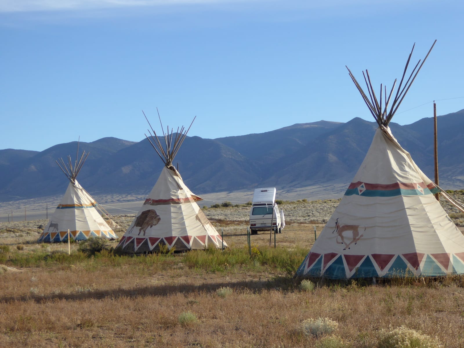
Joyful Journey Hot Springs Campground
- Closest town: Villa Grove (6mi)
- Specs: RV park, lodge, yurts, tipis, 30 & 50 amp service, full hookups
- Amenities: Mineral Pools, hot tubs, yoga, fitness classes, clothing-optional hot tubs
- Address: 28640 CR 58 EE, Moffat, CO 81143 (Map)
Valley View Hot Springs
- Closest town: Villa Grove (11mi)
- Specs: 23 RV sites, no pull-thru, limited electrical service, water, no hookups, 24 tent sites
- Amenities: Mineral pools, massage, swimming pools, cabins, restrooms
- Address: 64393 County Road GG, Moffat, CO 81143 (Map)
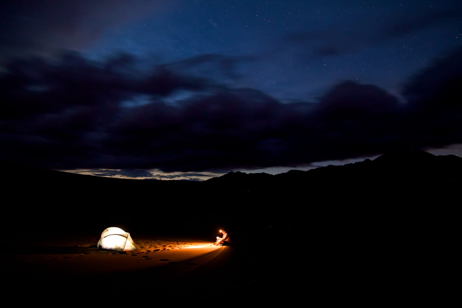
Although the sunny San Luis Valley gets warm and bright during the summer days, it stays cool at night. There are two great resorts for soaking, Valley View and Joyful Journey, offering unique camping.
That’s a roundup of some of the best camping in the Great Sand Dunes area. Enjoy your trip and remember to leave no trace. Respect these campsites for everyone’s sake.
 Camping near Winter Park and Fraser