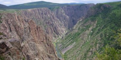
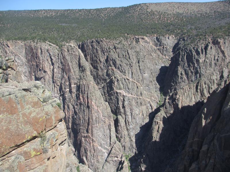
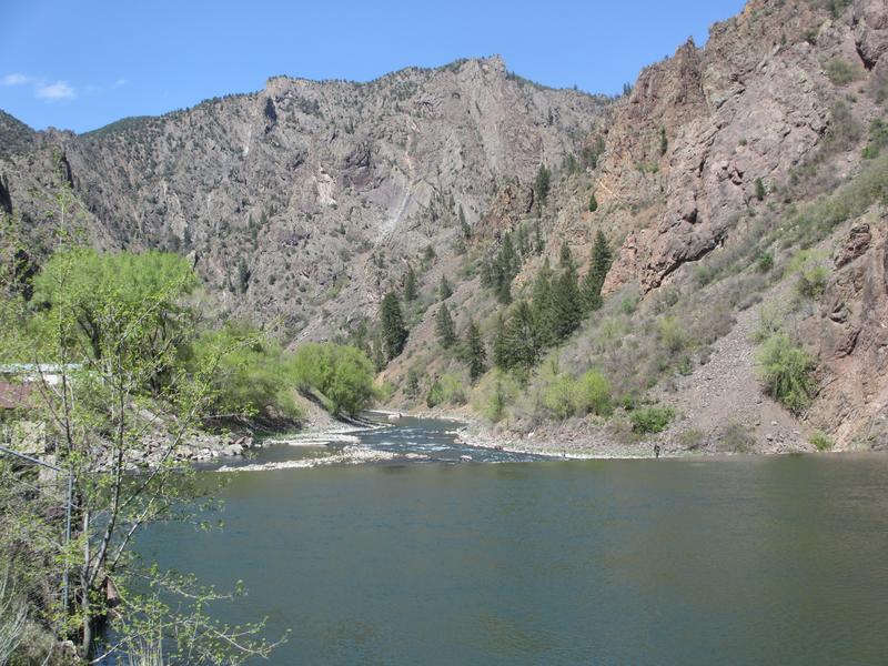
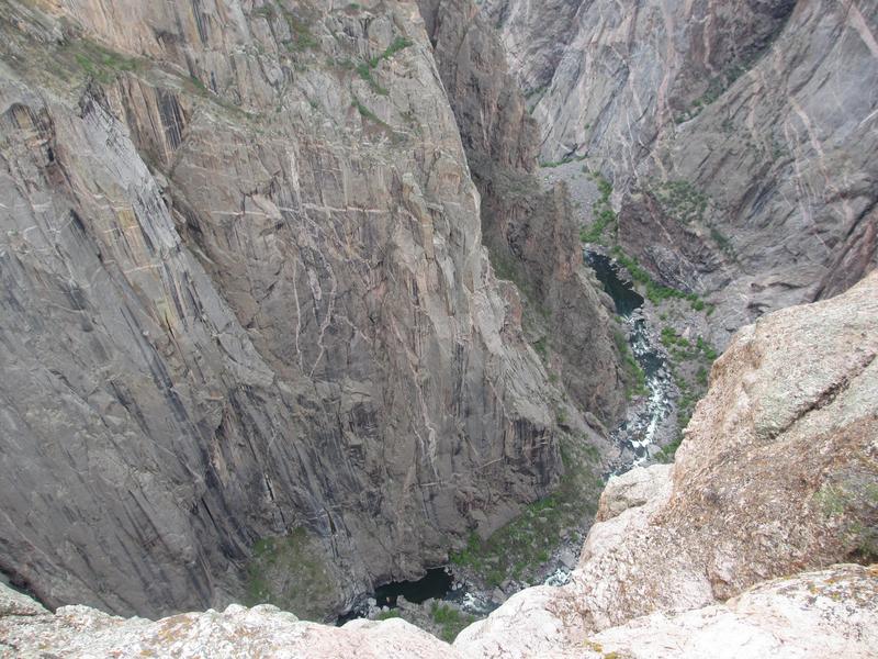
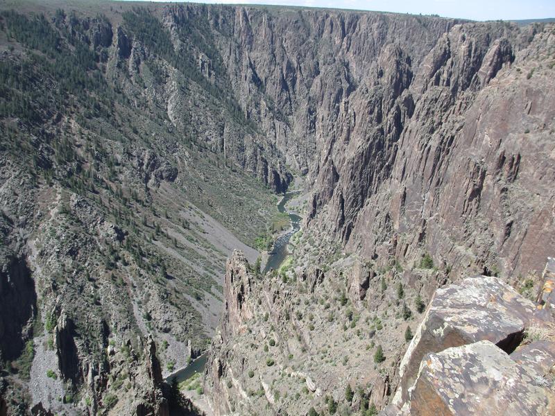
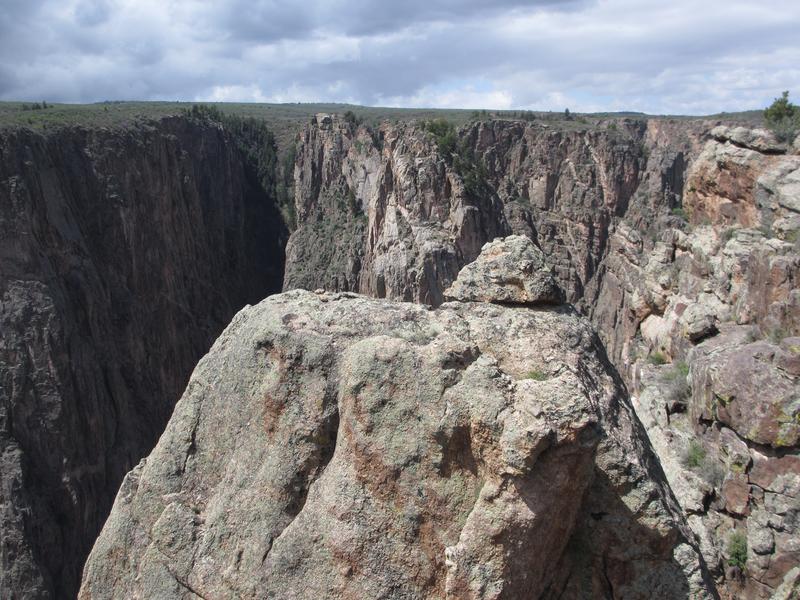
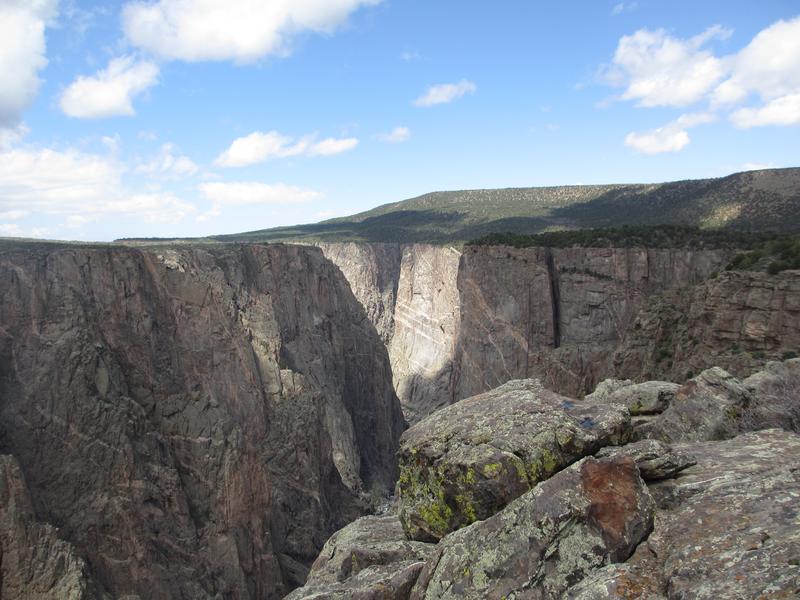
Open year-round for adventure seekers and sightseers, Black Canyon of the Gunnison is a stunning national park. The steep, drastic Black Canyon, with walls that range from 2700 to 1750 feet, sets the backdrop for this park.
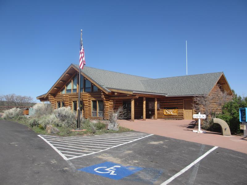
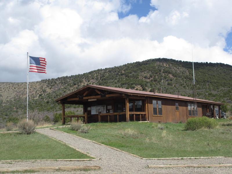
There are two entrances to the Park: the South Rim and the North Rim. South Rim is the main entrance near Montrose and is where the Visitor Center is located. Meanwhile, the North Rim entrance is next to Crawford on the opposite side of the canyon. Both sides offer a scenic drive along the canyon, though the South Rim drive is longer, paved, and therefore more crowded.
It should be mentioned that there is no bridge connecting the two sides. You can reach the other rim by either taking Highway 50 through Montrose towards Delta, or taking a more scenic, but secluded and slightly longer Highway 92. It passes through the Curecanti National Recreation Area.
Activities
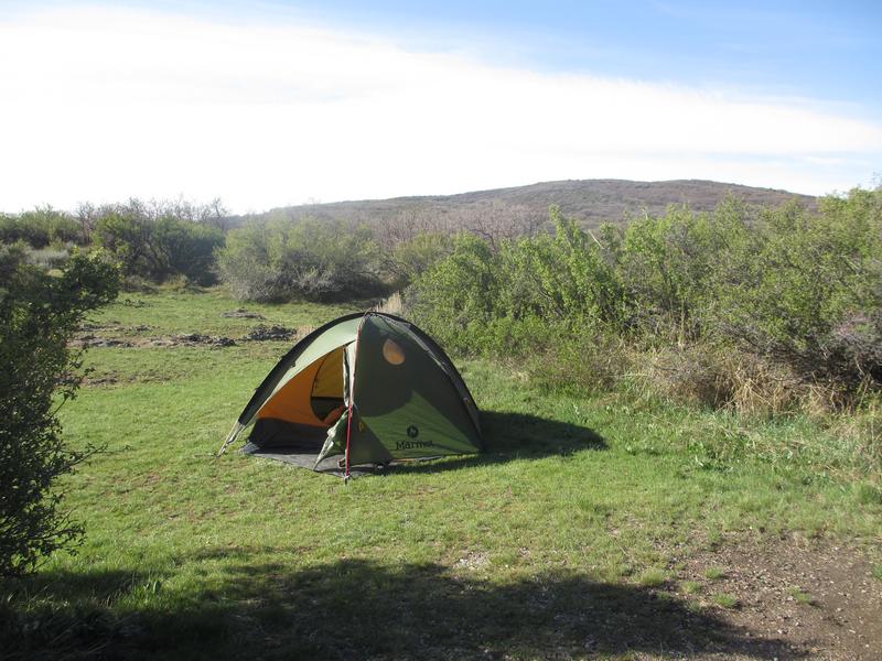
Camping: Three main campgrounds at opposite sides of the canyon.
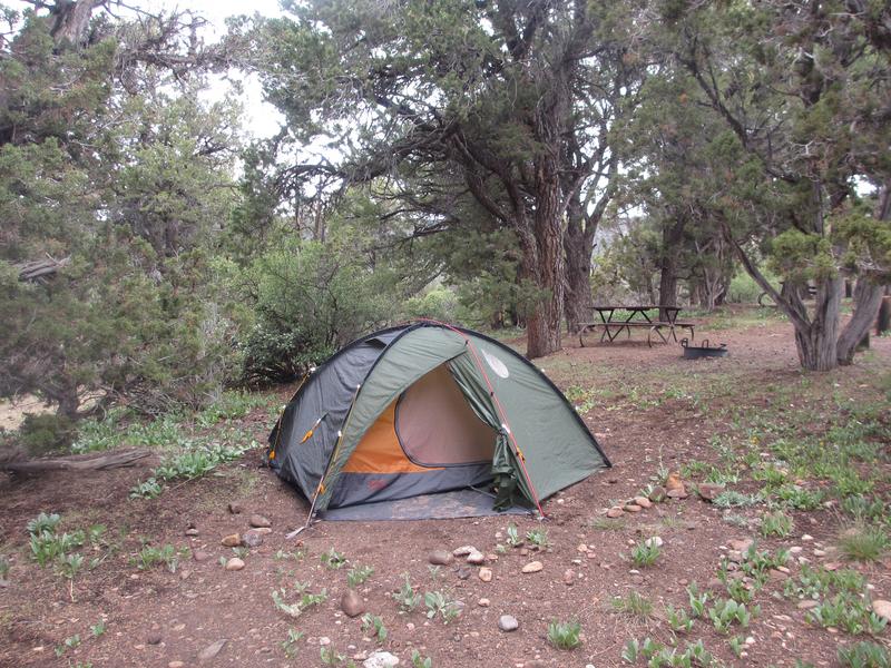
- North Rim – 13 first come first served sites, open spring to fall, located in a heavy pinyon-juniper forest, high above the Black Canyon. A small fence surrounds 2/3 of the campground and most rock climbers will stay here. Water is available from mid-May to mid-September, with no hookups, vehicles less than 35 ft.
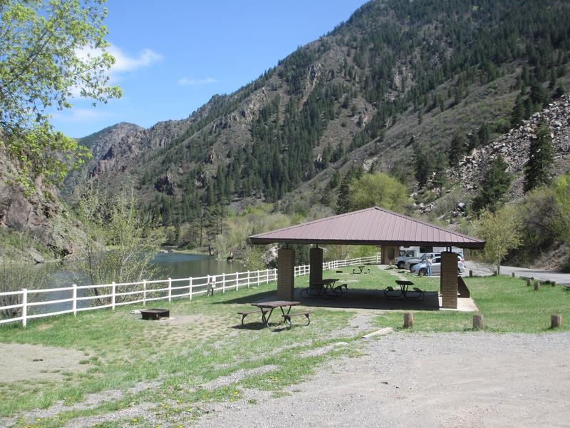
- South Rim – 88 sites, open year-round to vehicles less than 35ft (Loop A). There are 3 loops in an oak brush forest, located near the South Rim entrance of the park near Montrose. 30 amp hookups are located in Loop B. Nightly fee for both basic or electric areas.
- East Portal – Also on the South Rim down by Crystal Dam. There are several sites located beside the Gunnison River in a forest.
- Read about the camping near Paonia, Hotchkiss, and Crawford.
- Read about the camping near Montrose and Delta.
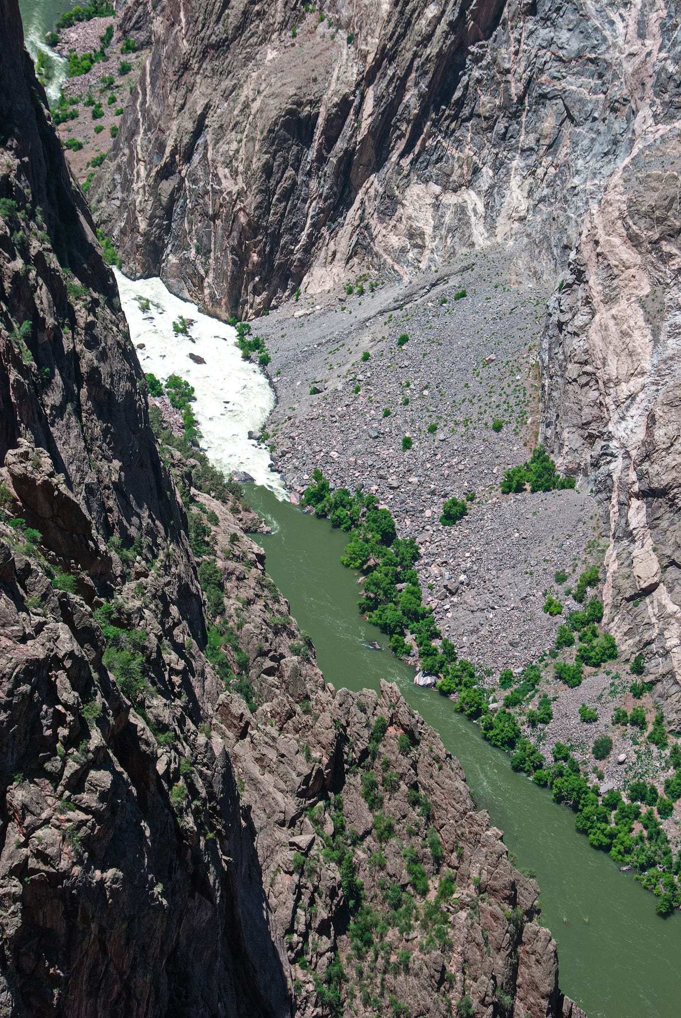
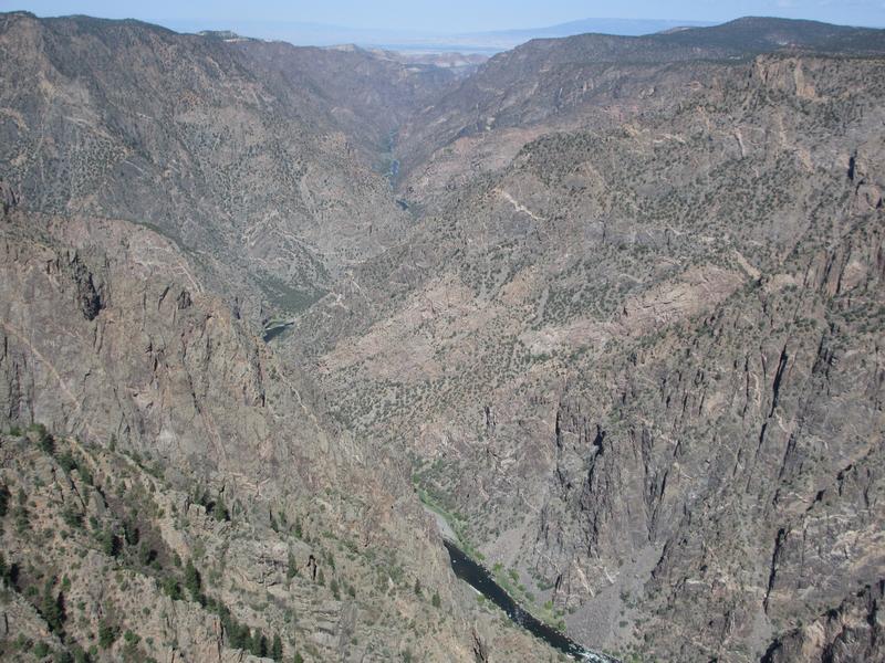
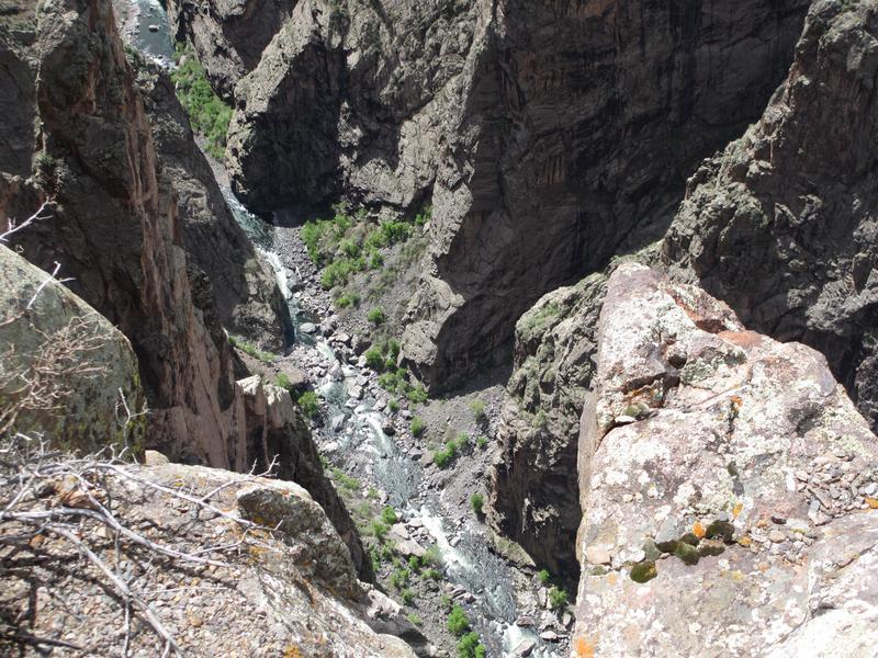
Fishing: You can access the Gunnison River via car on the South Rim side. The fishing is outstanding and is designated as Gold Medal Water & Wild Trout Water. Please note that only artificial lures and flies are permitted, no bait fishing.
After entering South Rim take the first right after campgrounds onto East Portal Drive. The road winds all the way down into the canyon to Crystal Dam. Park and fish. The road is closed during the winter.
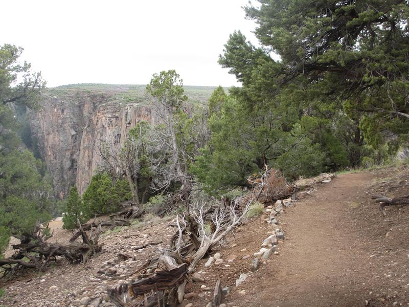
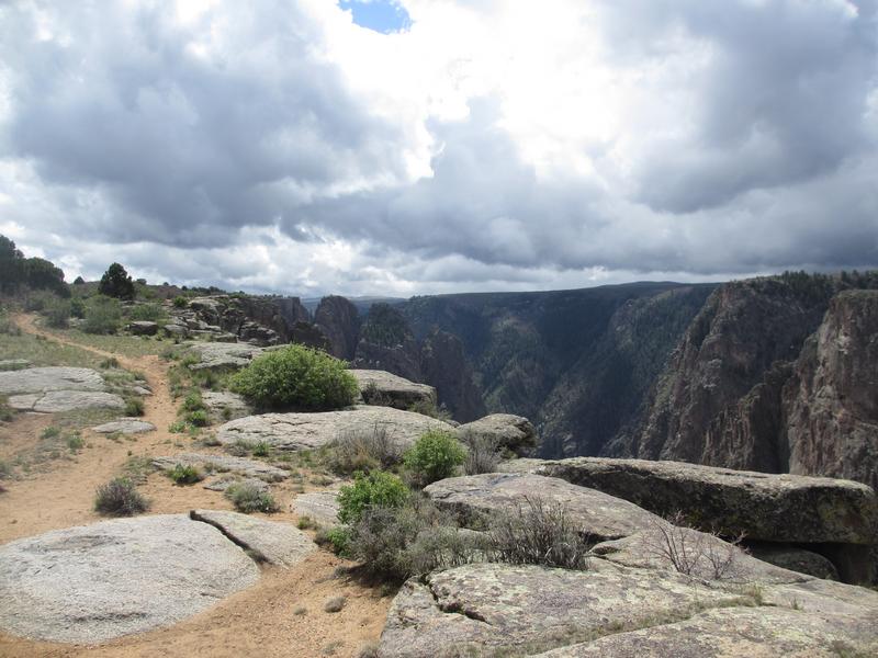
Hiking: Each official stop along the scenic South and North Rim Drive offers a small, but rewarding hike. Longer hikes into the inner canyon backcountry wilderness.
Horseback Riding: Only permitted on the Deadhorse Trail on the North Rim. It’s an easy-to-moderate 5-mile round-trip trail.
Kayaking: Expert kayakers only. The rapids within the park are considered Class V and due to the river’s hydraulics are very unpredictable. Poison ivy grows 5 feet along the river, making it nearly unavoidable. Kayaking is at your own risk.
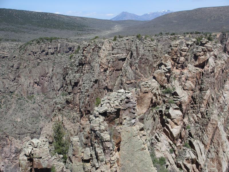
Rock Climbing: Expert climbing exists up steep, dizzying canyon walls.
Winter Recreation: Rim Rock Drive remains open, weather permitting.
- Cross Country Skiing is excellent along the non-plowed South Rim Drive. The road is 6 miles one way and allows access to the scenic overlooks. Begin at the South Rim Visitor Center.
- Snowshoeing once there is snow cover is a popular activity. The upper part of the Oak Flat Loop and Rim Rock Trail are recommended treks. Stay on the canyon’s rim and don’t venture into the inner canyon.
- Winter Backcountry Camping is permitted along the closed South Rim Drive beyond Pulpit Rock Overlook. Take extra caution.
Details
Address: 10346 Hwy 347, Montrose, CO
Phone: 970-641-2337
Season: Year-round
Fees: Entrance
Pets: Yes, on a leash | Some restrictions
Maps:
- Black Canyon Gunnison (PDF)
- Backcountry Routes (PDF)
Campground: Reservations
Website: nps.gov/blca