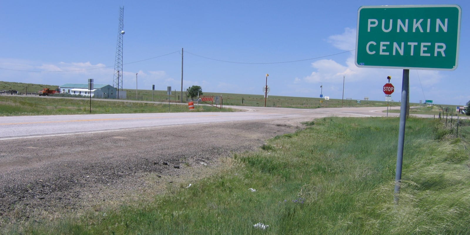
The tiny, country town of Punkin Center lies just south of Limon, the Lincoln County Seat. There isn’t much at all to this town but a few homes, ranches, and a city limits sign.
The unincorporated community lies at the crossroads of Colorado Highway 94 and Highway 71. Its minuscule population shares a post office with Hugo (ZIP Code 80821) and Ordway (ZIP 81063). Aside from farming, the only commercialization is a couple of communication towers, one at the town’s intersection, and another 3 miles southwest of that.
History
Back in 1920, a man named John Stevens built a store at this farmer’s intersection. For every new building built, he painted a pumpkin color, which spawned the town’s name, Punkin Center. In the 1950s everything burned in a fire.
Activities near Punkin Center
Towns:
- Aurora (110mi)
- Burlington (106mi)
- Cheyenne Wells (76mi)
- Colorado Springs (61mi)
- Denver (120mi)
- Kit Carson (51mi)
- Lamar (108)
- Limon (28mi)