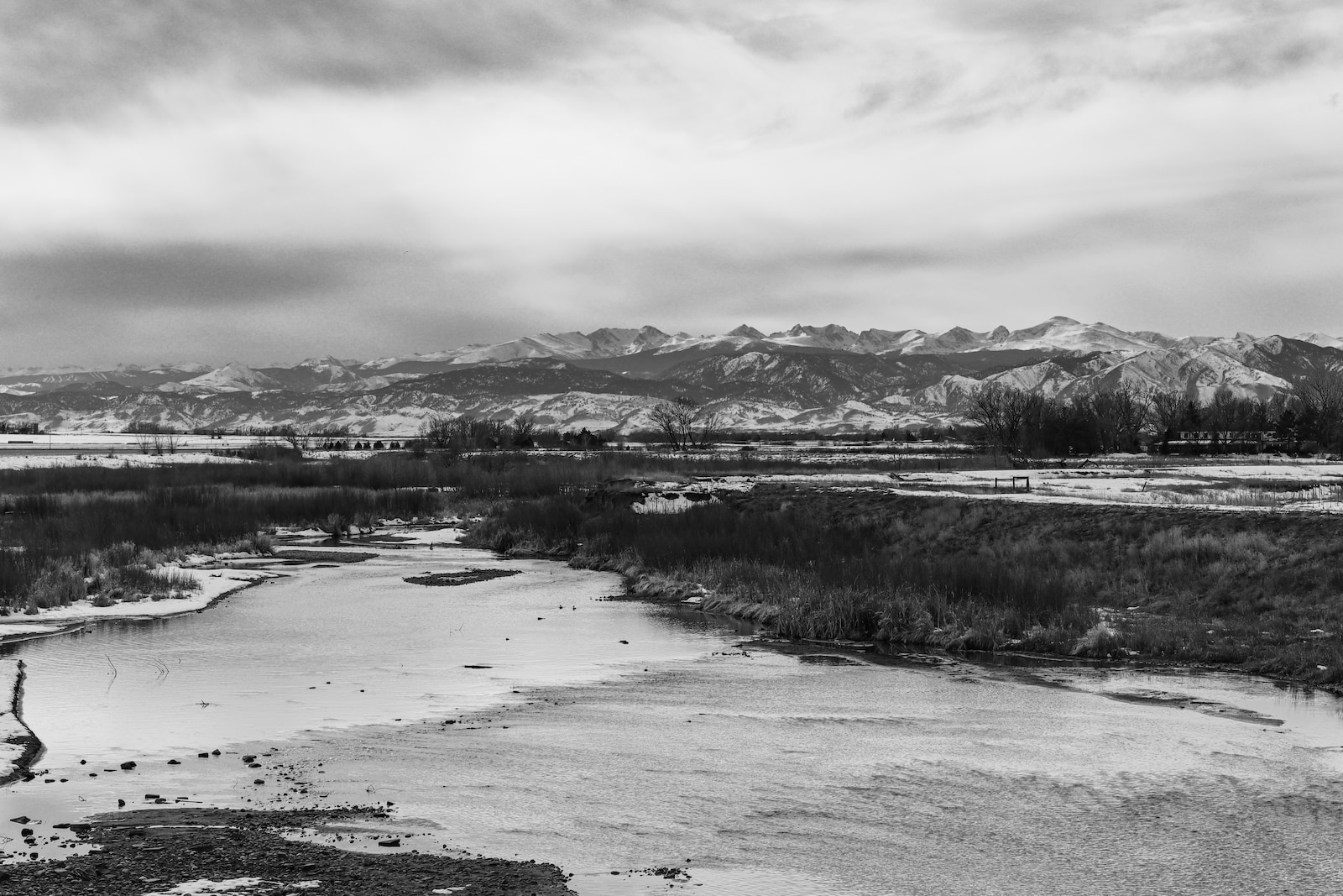
Sometimes referred to by locals as “St. Vrain River,” St. Vrain Creek runs for about 32.2 miles in north-central Colorado. Starting east of Lyons and flowing east, these waters travel through just south of towns Hygiene and Longmont.
Along the way, it joins with the Left Hand Creek and ends where it combines with Boulder Creek southwest of St. Vrain State Park. It’s a tributary of the South Platte River.
North St. Vrain Creek
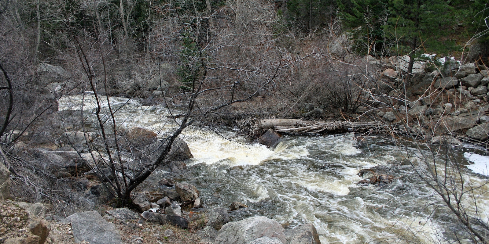
North St. Vrain Creek begins in the Rocky Mountain National Park. This creek passes under Highway 7 above Allenspark and flows through private land as it goes east. A good portion of the stream runs through National Forest territory and a steep canyon.
Middle St. Vrain Creek
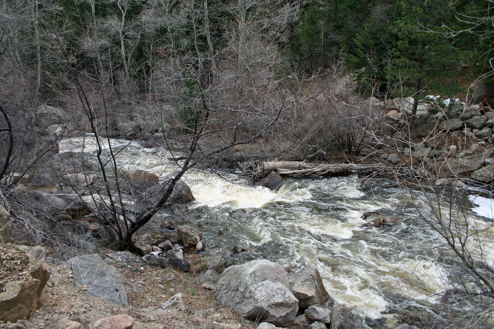
Middle St. Vrain Creek begins within the Indian Peaks Wilderness Area on a section of land based a little south of Rocky Mountain National Park. It starts out going east through Camp Dick and Peaceful Valley, slightly west of Highway 72, and then through Raymond before meeting with South St. Vrain Creek at Highway 7.
South St. Vrain Creek
The origins of South St. Vrain Creek are located in the Indian Peaks Wilderness. The creek runs east beneath Highway 72 through private land. It then enters a heavily wooded area, eventually joins the Middle Fork, and runs via the gorge along Highway 7.
Activities by the Water
Fishing is a popular activity on all parts of the St. Vrain. Especially in Longmont, residents enjoy floating on the water using kayaks, tubes, and small non-motorized boats. Other outdoor recreation pastimes by the creek include hiking, birding, and swimming in certain sections.
Camping
Nature lovers looking for a new place to set up camp by the creek will have a few options along St. Vrain and its tributaries. The St. Vrain State Park by itself has 87 year-round campsites, some with electric hookups and water hydrants.
Camp Dick and Peaceful Valley Campground northwest of Boulder have fantastic reviews and are excellent for soaking up that wild Colorado atmosphere.
Read about the camping near Allenspark, Lyons and Longmont.
Details
Passes through:
- Allenspark
- Lyons
- Hygiene
- Longmont
Length: 32.2 miles
Tributaries: Boulder Creek
Tributary to: South Platte River