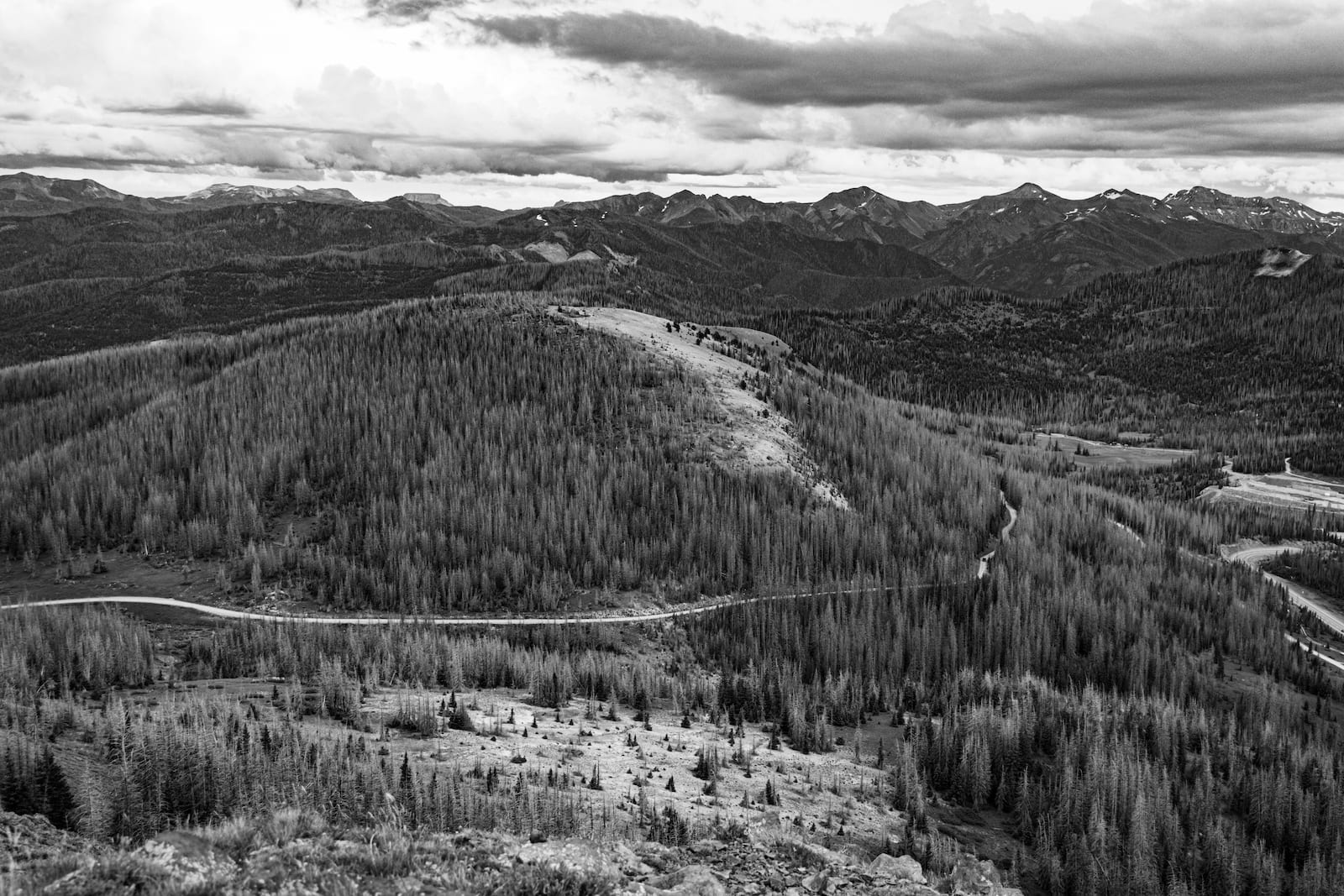
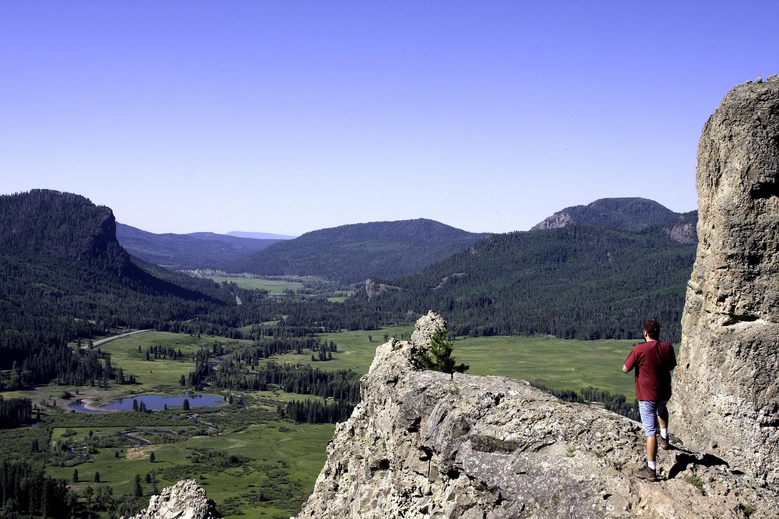
Deep within the San Juan Mountains, Wolf Creek Pass is a steep and beautiful mountain pass in Southwest Colorado. The pass falls right along the Great Continental Divide. and can be traversed via US 160 between the towns of South Fork and Pagosa Springs.
Wolf Creek Pass gets its name from the nearby Wolf Creek, a San Juan River tributary, which begins near the summit. There are many opportunities for outdoor recreation in the area. It passes by two national forests, a popular ski area, and there is even a waterfall to visit on your trip along this high-elevation pass.
History

In 1916, the first ever road along Wolf Creek Pass finished construction. The original route was only 12 feet wide, which was doubled in 1930 as more traffic started to move through the area. Twenty years later, the road was paved and began to resemble what we know as Highway 160 today.
The Pass became nationally known in 1975 when famous country musician CW McCall released a song of the same name. In McCall’s song “Wolf Creek Pass”, the singer tells the tale of summiting the Great Divide through “37 miles of Hell ” in his large truck. The song was released on McCall’s Wolf Creek Pass album, which features other odes to Colorado like “Rocky Mountain September” and “Glenwood Canyon”.
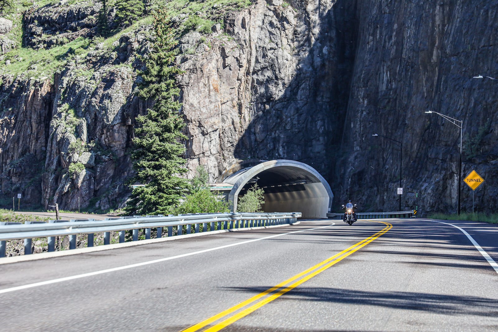
In 2006, the construction of a tunnel several miles north of the pass was completed alongside measures for road widening and improved drainage. Today the road spans 4 lanes in some areas and has many gradual and hairpin turns alike as it makes its way through the Continental Divide.
Wolf Creek Pass Accessibility

Although the road can be dangerous for truck drivers, most vehicles can safely reach Wolf Creek Pass along the paved interstate. Right next to the summit, there is a parking area with picnic tables and restrooms provided by the US Forest Service. From the summit to the bottom, it is about 8 miles of 7% grade road until it flattens out around Treasure Falls.
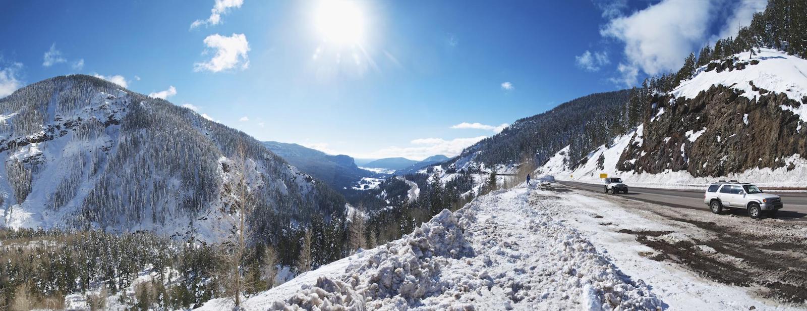
Seasonality – US 160 is well-maintained and accessible year-round. With that being said, it can be dangerous in the winter due to the steep grade and numerous curves. Drivers can use the wide shoulder before the steep descent as a chain-up station if weather requires.
Vehicle Restrictions – There are no vehicle restrictions on US 160 to access Wolf Creek Pass. In the winter, 4WD is recommended and Colorado traction and chain laws may be applicable.
Activities near Wolf Creek Pass

In the winter, the pass draws considerable traffic headed to the Wolf Creek Ski Area just north of the pass. This regional favorite is considered one of the best places to ski in Colorado by many locals who love the enormous amount of snow the area receives. There are over 77 trails of varying difficulty along with bowls, chutes, and space for tree skiing. A small village serves the area with rentals, food, a brewery, and a gift shop.
When the snow melts, hiking, camping, and backpacking opportunities are ample in the surrounding Rio Grande and San Juan National Forest. Atop the pass, pedestrians can use the Wolf Creek trailhead to access the Continental Divide Trail, a multi-state 3,100-mile trail that has an 800-mile section in Colorado.
South of the pass visitors can stop by the Treasure Falls overlook, a popular 105-foot waterfall that connects to the San Juan River. Admire the falls from the parking lot, or stretch your legs on a short 1/2 mile hike to a closer view.

Details
Address: US 160, between Pagosa Springs and South Fork , CO 81147
Season: Year-round
Elevation: 10,857 ft (3,309 m)
County: Archuleta County and Mineral County
Mountain Range: San Juan Mountains
Coordinates: 37 ° 29′00 ″ N 106 ° 48′11 ″ W
Access: US 160

