With an abundance of outdoor activities available, such as climbing, off-roading, hiking, and horseback riding, Telluride has always had a draw for those who love the outdoors. The waterfalls around town are popular day hikes, and visiting them is an iconic activity that almost anyone can take part in.
There are trails of varying difficulties and lengths, and even a waterfall you can drive to. If you’re looking to seek out local waterfalls around Telluride, we’ve got the lowdown on where to find them and what to expect. Check out some of the other great Colorado waterfalls this spring or summer.
Here are the top waterfalls in Telluride, CO, in alphabetical order:
Bear Creek Falls

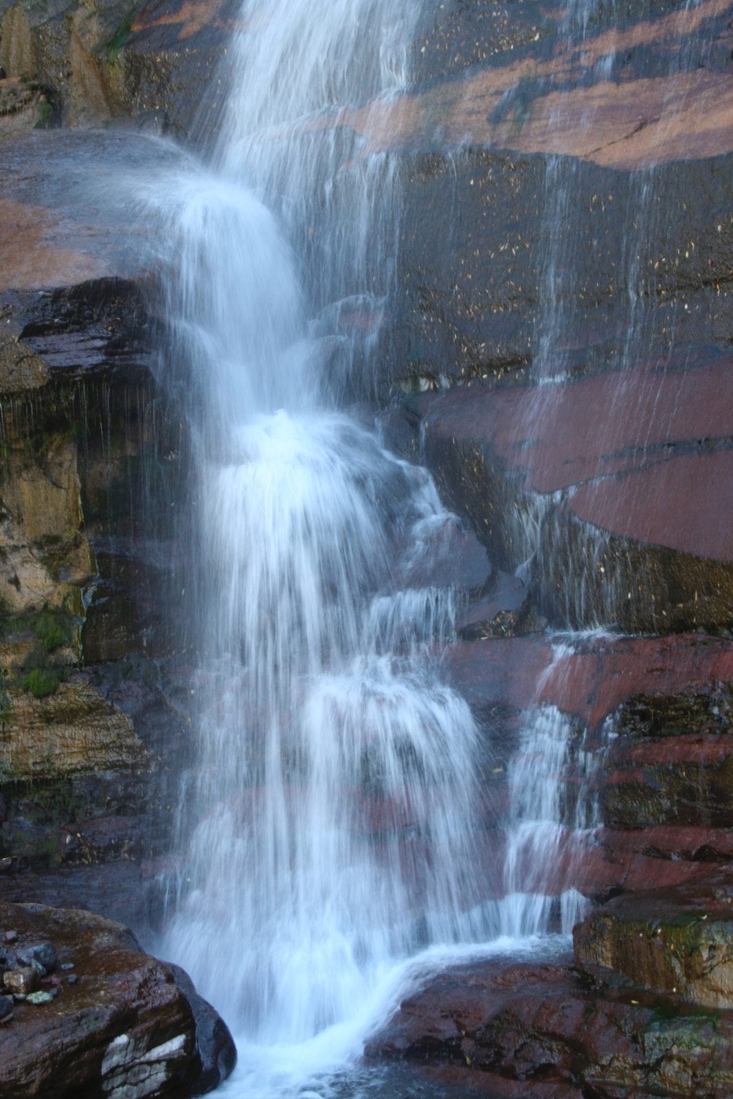
Bear Creek Falls is reached by a popular, moderate-difficulty trail that starts right in the Town of Telluride. The 2.5-mile hike takes about 1.25 hours one way, and you’ll gain just over 1,000 feet of elevation. The trail is open to hikers, bikers, and horseback riders.
One of the greenest hikes near Telluride, the well-marked trail passes through woods, meadows, and patches of wildflowers before you reach the stunning set of waterfalls right at the mouth of the valley. Not only can you enjoy the view of the beautiful waterfall, but there are also nice views out over the Town of Telluride from here.
The trail travels right along the Bear Creek Preserve, which is one of the most popular places in the Telluride area for biking, hiking, and other outdoor activities. From here, if you’d like to extend your hike, the trail connects with the Wasatch trail, which will take you farther up the canyon.
The Wasatch Trail provides hikers with options for longer loop hikes through the Telluride Ski Area or the Bridal Veil Basin area.
How to get to Bear Creek Falls:
You’ll find the trailhead for the Bear Creek Preserve Trail located right in the Town of Telluride at the end of South Pine Street.
Bridal Veil Falls

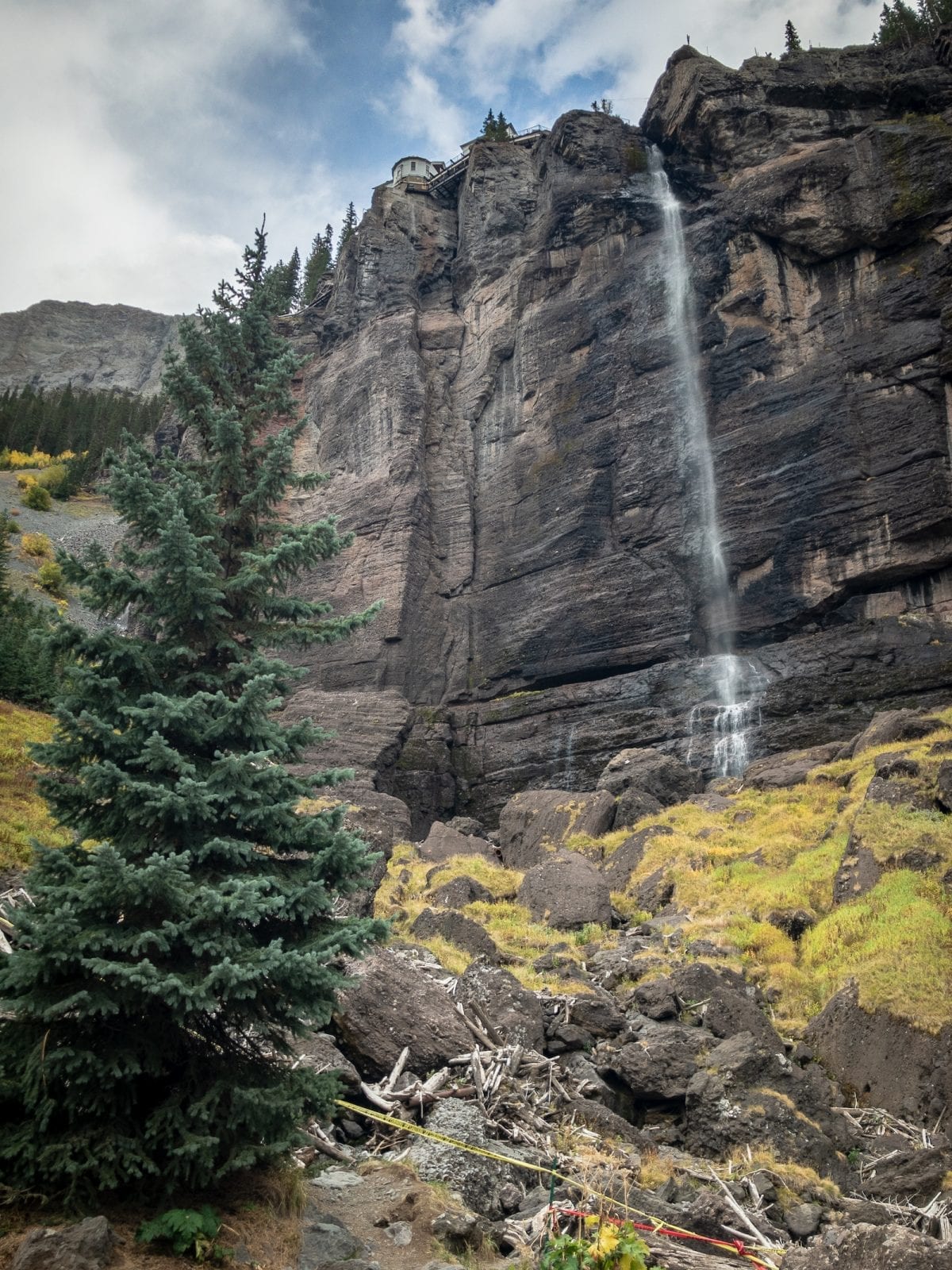
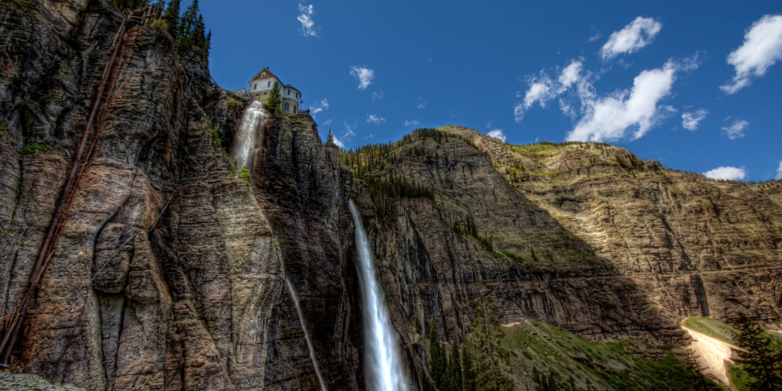
Bridal Veil Falls is easily the most well-known waterfall in the Telluride area. The tallest free-falling waterfall in Colorado, this waterfall is just over 350 feet tall. It’s the most popular waterfall to visit in the Telluride area and is easily the most stunning and powerful waterfall on our list.
The famous waterfall is created by high-alpine snow runoff and water from the lakes up in the Bridal Veil Basin. It’s accessible to every visitor as you can reach it by hiking, biking, or driving a four-wheel drive vehicle to the top. It’s a hike or a drive that you absolutely cannot miss if you are visiting Telluride.
The hike is about 3.6 miles long and travels up wide switchbacks that you can see from downtown Telluride. Bikes, four-wheel drive vehicles, and hikers all share the same road to the top of the waterfall, where you’ll be rewarded with stunning views of the plummeting waterfall, and you can also see a privately owned, historic power plant.
How to get to Bridal Veil Falls:
To reach Bridal Veil Falls, travel east out of town along Colorado Avenue to the end of the Box Canyon. You have two options to visit the falls. If you’d like to go on foot or by bicycle, park in the Valley View Parking area and hike or bike to the falls. Alternatively, if you have a four-wheel drive vehicle with high clearance, continue along the gravel road to the top.
Cornet Creek Falls

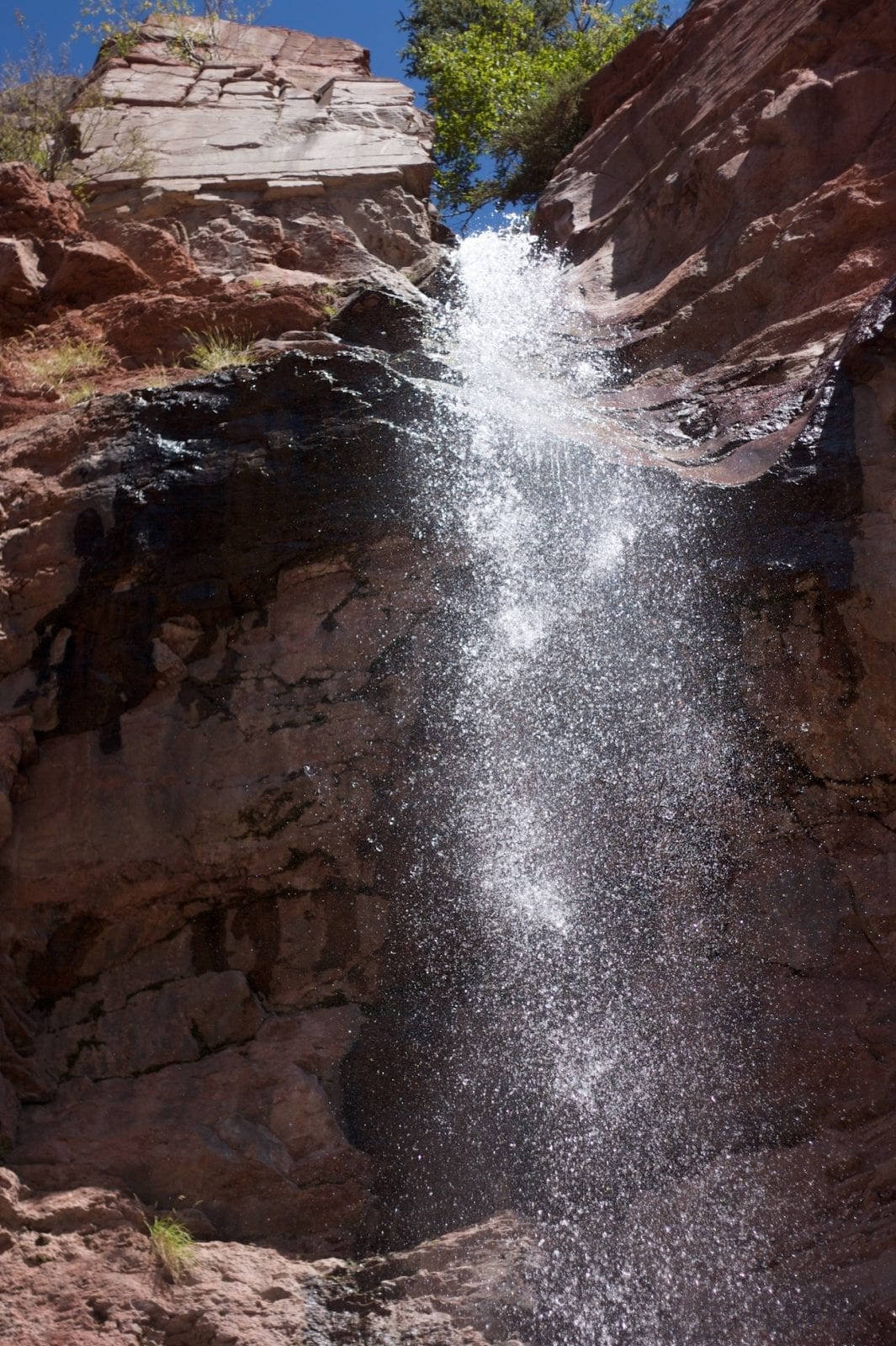
Cornet Creek Falls is the quickest and easiest waterfall hike on our list and is perfect for someone who just wants a taste of the outdoors or doesn’t have a lot of time. The waterfall is just a short, 0.25-mile hike away from the Town of Telluride. The trail begins right in town, and you can complete the round trip in under an hour if you are in a time crunch.
The short, easy hike ends at the beautiful, 80-foot-tall Cornet Falls, which is at its most impressive in the summer months. From the waterfall, you’ll have a nice view of the Telluride Ski Resort, the town, and nearby mountains. Although the hike is short and easy, hiking shoes are recommended as some sections have loose soil and rocks.
How to get to Cornet Creek Falls:
Start at the top of North Aspen Street in town. When you reach the Cornet Creek Bridge, go straight and follow the Cornet Creek Trail up to the falls.
Mystic Falls
Mystic Falls lies a bit more off the beaten path than the other waterfall hikes on our list and is often overlooked by guidebooks and maps of area trails. To reach this one, you’ll have to take a short drive of about 20 minutes into the mountains. The trail is short, around one mile long, has an elevation gain of only about 300 feet, and only takes about an hour to reach the waterfall.
However, even though the trail is short, this is not a hike that is recommended for inexperienced hikers as it requires some complicated navigating around overgrown and somewhat hidden trails, water crossings, and tricky footing. This quick hike will have you feeling like you’re on an adventure. Once you reach the end, you’ll be rewarded with a gorgeous view of Mystic Falls. The majestic waterfall is set right in the mountainside and is surrounded by lush greenery, making for quite the photogenic site.
How to Get to Mystic Falls:
You can reach Mystic Falls by driving into the mountains along 145 for about 20 minutes past the town of Ames. Use the following coordinates to help you find it: Mystic Falls: 37.8625186, -107.8845625; Parking Area: 37.8632119, -107.8846288
That’s a roundup of the top waterfalls around Telluride. Safe travels and wear grippy shoes.


 5 Best Waterfalls by Colorado Springs