• Menu
  • Skip to right header navigation
  • Skip to main content
  • Skip to primary sidebar
  • Skip to footer

Uncover Colorado Logo

  • Blog
  • Activities
    • Year-round
      • Brewery Tours
      • Casinos & Gaming
      • Colorado Brands
      • Federal Lands
      • Food & Dining
      • Ghost Towns
      • Gondola & Chairlifts
      • Hot Springs
      • Mine Tours
      • Museums
      • Paintball
      • Public Parks
      • Scenic Drives
      • Shopping
      • Sports Teams
      • State Parks
      • Train Rides
      • Transportation
      • Wildlife
      • Zip Lines & Aerial Parks
    • Spring, Summer & Fall
      • Amusement Parks
      • ATV Rentals
      • Biking
      • Boating
      • Camping
      • Drive-In Theaters
      • Fishing
      • Golf Courses
      • Hiking
      • Horseback Riding
      • Rock Climbing
      • Tubing & Paddling
      • Waterfalls
      • Whitewater Rafting
    • Winter
      • Cross Country Skiing
      • Dog Sledding
      • Ice Climbing
      • Ice Fishing
      • Ice Skating
      • Skiing & Snowboarding
      • Sleigh Rides
      • Snow Tubing
      • Snowmobiling
      • Snowshoeing
  • Events
    • January
    • February
    • March
    • April
    • May
    • June
    • July
    • August
    • September
    • October
    • November
    • December
  • Lodging
    • Budget Hotels
    • Historic Hotels
    • Luxury Hotels
    • Bed & Breakfasts
    • Cabins & Glamping
    • Casinos with Lodging
    • Dude Ranches
    • Hot Spring with Lodging
    • Wineries with Lodging
    • Campgrounds
  • Towns
  • Trip Planner
  • Search
  • Blog
  • Activities
  • Events
  • Lodging
  • Towns
  • Trip Planner
Sagebrush steppe west of Cochetopa Pass, Colorado
Sagebrush steppe west of Cochetopa Pass, Colorado. Photo: Matt Lavin

Cochetopa Pass – Saguache-Gunnison

FacebookTwitter

Along the Continental Divide, Cochetopa Pass is a 10,067 ‘mountain pass with rich human history. It connects the San Luis Valley with Gunnison Valley and the towns of Saguache and Gunnison.

There is another pass a few miles north, called North Cochetopa Pass (or simply, North Pass). North Pass is located on the main vehicle route along State Highway 114 and is slightly lower in elevation.

History

East of Cochetopa Pass, CO
East of Cochetopa Pass. Photo: mestdagh

Members of the Ute Indian Tribe are among the earliest known inhabitants of the Cochetopa Hills in recent human history. By the time Spanish explorers reached the area, they noted that the native big game hunters had worn down the trail to Cochetopa Pass from heavy usage. In the Ute language, the word โ€œCochetopaโ€ translates to โ€œPass of the Buffalo.โ€

European settlers gained interest in the pass when locating possible railway lines across the Continental Divide . In 1848, the first effort to establish the route resulted in several men and horses freezing to death while others resorted to cannibalism. A few members of the party survived with help from the native Ute Indians.

The next effort to build a railway occurred 5 years later. After the expedition’s leader, Captain Gunnison, was killed by native Indians, the project was moved north to Wyoming. By 1874, the Saguache – San Juan Toll Road became the first wagon route to traverse Cochetopa Pass.

Cochetopa Pass Accessibility

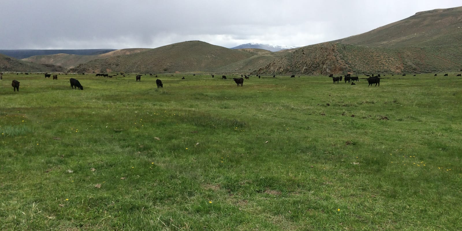
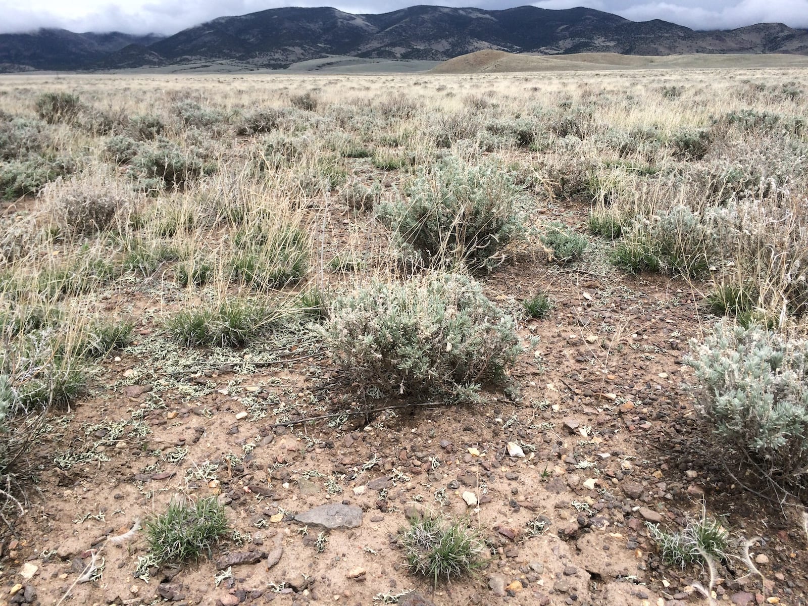
At the pass, the Continental Divide splits the Gunnison and Rio Grande national forests. County Road NN14 (Forest Road 750) is a well-maintained gravel and dirt throughway. In good conditions, Cochetopa Pass can be traversed with a relatively easy drive.

Seasonality – Cochetopa Pass is typically closed in the spring to prevent damage to the road. It is best used from June to October, with access remaining open for snowshoes and snowmobiles in the winter.

Vehicle Restrictions – Cochetopa pass is accessible to most passenger vehicles and does not require exceptionally high clearance. In winter conditions, drivers should be prepared

Activities near Cochetopa Pass

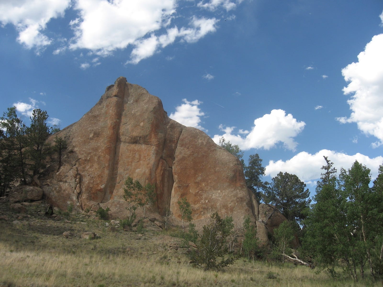
At the summit, visitors can access the Continental Divide Trail to enjoy the aspen trees and mountain views. Along the road to and from the pass, there are many primitive camping opportunities available.

Read about theย Camping near Alamosa, Sand Dunes, and around the San Luis Valley.

Shrub steppe east of Cochetopa Pass, Colorado
Shrub steppe east of Cochetopa Pass, Colorado. Photo: Matt Lavin

Details

Address: County Road NN14 / Forest Road 750, off of State Highway 114, between Saguache and Gunnison

Season: June through March

Elevation: 10.067 ft (3.068 m)

County: Saguache County

Mountain Range: Rocky Mountains

Coordinates: 38.1629 ยฐ N 106.5998 ยฐ W

Access: County Road NN14 / Forest Road 750


Primary Sidebar

Join our Colorado travel community

Enter your email below and grab our free locals' guide and monthly what's up designed to help you live your Colorado life and uncover fun things to do. โ€”and never miss out again.

Recent Posts

  • Upcoming Spring Festivals in Colorado
  • 8 Great Springtime Colorado Festivals
  • 9 Colorado Ski & Snowboard Companies
  • Brief Timeline of Colorado’s Ski and Snowboard History
  • Fly Directly to these Colorado Ski Resorts with Airports Nearby

Footer

Get In Touch

  • Home
  • About Us
  • Contact Us
  • Privacy Policy
  • Resources
  • Disclaimer
Facebook Instagram Pinterest Twitter

Disclosure: Uncover Colorado is a participant in the Amazon Services LLC Associates Program, an affiliate advertising program designed to provide a means for sites to earn advertising fees by advertising and linking to Amazon.com.

Things To Do

  • Travel Blog
  • Colorado Activities
  • Colorado Events
  • Colorado Towns
  • Colorado Hotels
  • Colorado Restaurants
  • Colorado Transportation
  • Made in Colorado

Cheers! Mile High Happy Hour shares showcases Denver neighborhoods' restaurant happy hours.

Winter Activities

  • Federal Lands
  • Ghost Towns
  • Hot Springs
  • Ice Skating
  • Ski Resorts
  • Snow Tubing
  • State Parks
  • Train Rides

Copyright © 2023 ยท Uncover Colorado | Sitemap | Advertise