
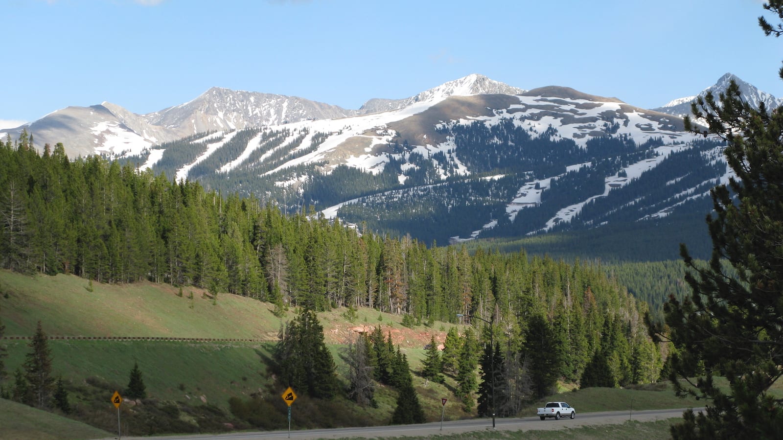
Vail Pass is a high and easily accessible mountain pass in central Colorado. The area around the Vail Pass is very popular for recreational activities all year long.
Vail Pass can be traversed via US Route 6 along Interstate 70. The pass borders the Eagle and Summit Counties and is the only pass in Colorado with a paved bike path on both sides of the mountain. Interestingly, Vail Pass is the second-highest highway pass in the US, trailing only the twin Eisenhower/Johnson Tunnels on the border of Summit and Clear Creek County, only 28 miles to the east.
History
Historically, this area wasn’t used as a popular route for early explorers and settlers. In 1940, US Route 6 was built to bypass the treacherous Shrine Pass, thus cementing Vail Pass as the easiest route through the central Rocky Mountains. Construction of Interstate 70 through Vail Pass, which overlaps large portions of US 6, began in 1973 and was completed in 1978.
Engineers initially thought it would be viable to dig a tunnel through the southern Gore Range to bypass a circuitous bow-leg up and over the pass. However, the rise of environmentalism in the 1960s torpedoed the proposal, and the highway was constructed to avoid areas that are now part of the Eagles Nest Wilderness. Vail Pass, and the popular nearby ski resort, bear the name of Charles Vail, who was the director of the Colorado State Highway Department for 15 years.
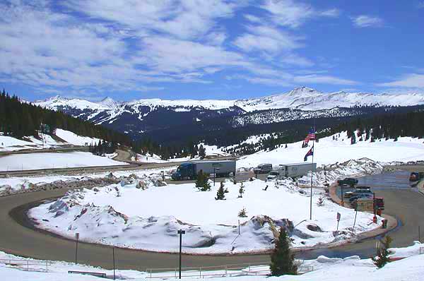
Vail Pass Accessibility
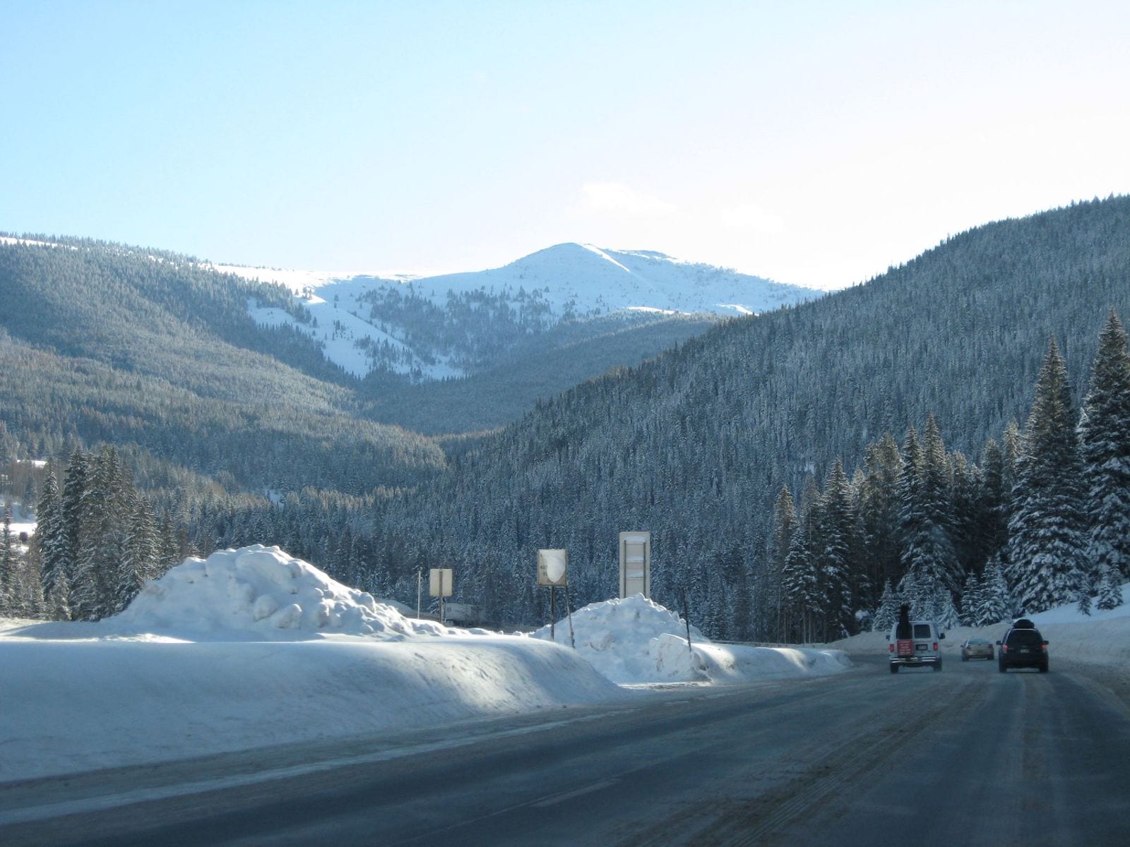
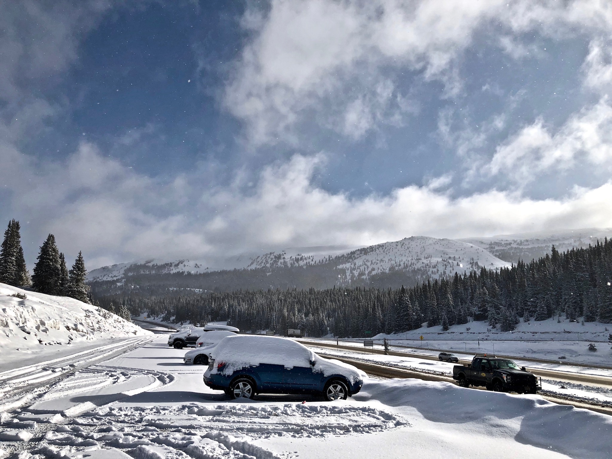
Vail Pass is very easily accessed along a paved, major US interstate highway. Even still, vehicles traversing the pass should be in good operating condition as the 7% grades and winding turns can be difficult on a car’s brakes and engine.
Seasonality – Due to the high number of vehicles on Interstate 70, Vail Pass is typically open all year round. However, it is known to close and cause traffic backups during peak winter months. These backups are usually due to weather-related closures or accidents. The western side of Vail Pass has also been known to slide, with small avalanches spilling over the westbound lanes between the top of the pass and East Vail.
Vehicle Restrictions – During mild weather, Vail Pass can be accessed by most passenger vehicles. In the winter, it is very likely that Colorado will enforce tread and tire chain laws for 2WD vehicles. Always check the conditions and restrictions of Interstate 70 before traveling to Vail Pass.
Activities at Vail Pass
Wintertime – In the winter, the 55,000 acre Vail Pass Winter Recreation Area is home to many expansive trails for snowmobiling, backcountry skiing, snowshoeing, and cross-country skiing. The White River National Forest charges a small fee for the continuous upkeep of the popular area, but the fee pays for facilities maintenance, terrain management, ranger patrols, and for snowcats to groom some of the ski tracks.
Motorized recreation is allowed on the western side of the highway; the eastern side is for non-motorized use only with trails leading into the Eagles Nest Wilderness. Many recreationists start at Vail pass and head west; however, you can also access snowmobile trails from US24 near the town of Red Cliff and at the Camp Hale National Historic Site. Check out this colorized map from the Forest Service, which details the winter recreation area.
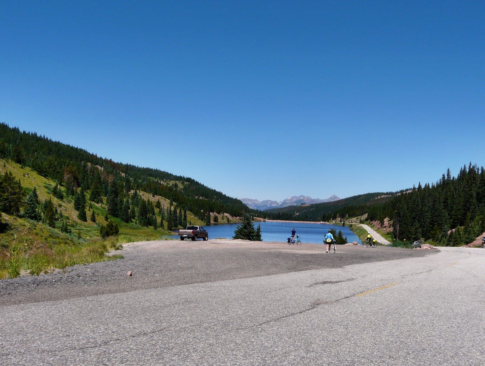
Spring/Summer/Fall – During the summer and fall, many cyclists take advantage of the paved Vail Pass Trail and climb the 8.7-mile ascent to Vail Pass in order to coast down to Copper Mountain Resort. Hardcore riders can take the path all the way to Frisco to the east or combine a series of paths and bike lanes all the way through Glenwood Canyon to the west.
Some of the area’s trails are also open to hikers during warm weather months. The trail to Shrine Pass is a lovely mountain stroll, and the trail to the top of Uneva Peak is particularly stunning, with mountain views in all directions. The nearby town of Vail, Colorado, has many options for dining and lodging during all seasons. Plus, nearby Vail Ski Resort contains additional trails for hiking, mountain biking, and summertime fun.
Details
Address: Interstate 70, between Copper Mountain and Vail, CO
Season: Year round
Elevation: 10,666 ft (3,251 m)
County: Eagle County / Summit County
Mountain Range: Rocky Mountains
Coordinates: 339°31′50″N 106°13′02″W
Access: Interstate 70