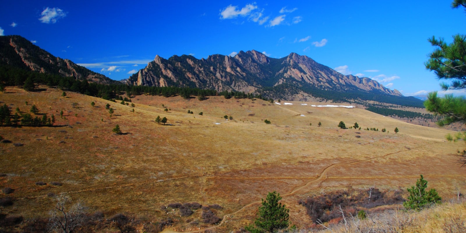
Towering over the southwest of town, the Flatirons are Boulder’s most iconic rock formations. As a set of dramatic, pointed slabs, the Flatirons provide a beautiful background to the city and can easily be identified while observing the Front Range of the Rocky Mountains from any vista in the area.
Located on the eastern slope of Green Mountain, five “numbered” Flatirons are considered to be the five “primary” features, each protruding out of the ground at roughly 55 degrees, angled upward to the west.
5 Flatirons and Other Rock Formations
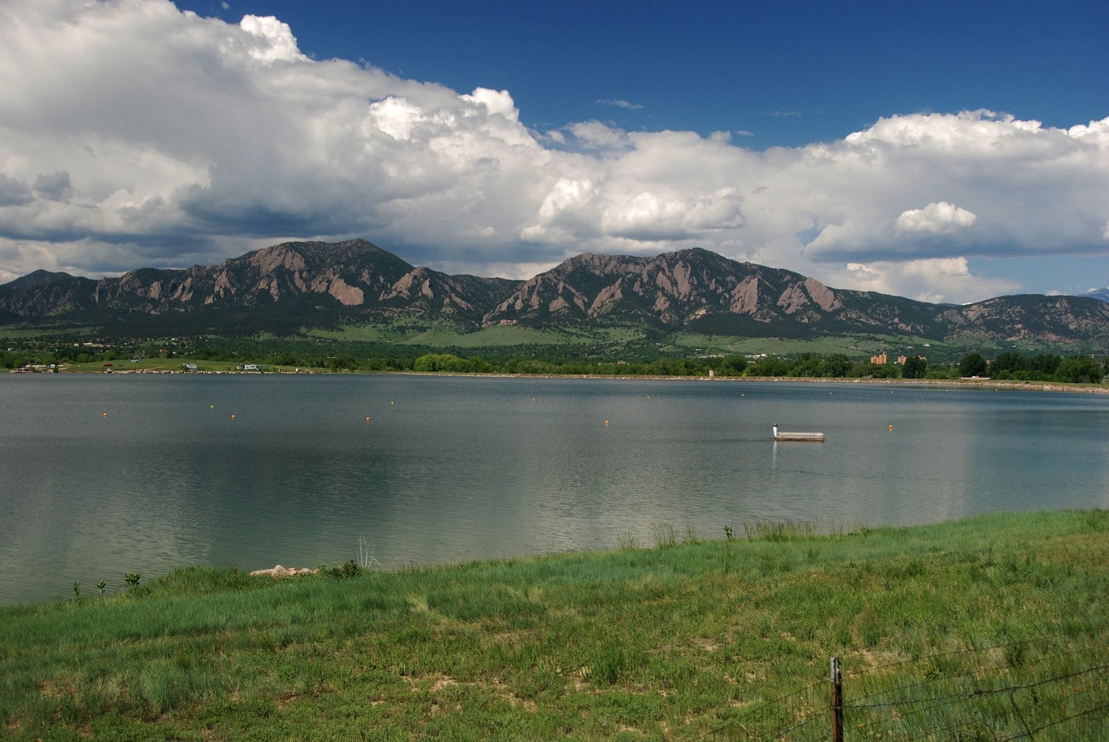
To keep things simple, these five, giant, triangular-shaped, conglomeratic sandstone slabs are commonly referred to as the First, Second, Third, Fourth, and Fifth Flatiron. Besides the numbered flatirons, several smaller named and unnamed rock formations can be found throughout the area.
First Flatiron
As the northernmost formation, the “First Flatiron” is one of the most recognizable and visited in the area. While a hike will get you near the base of the first flatiron, the giant sandstone slab (elevation of approximately 7,300 feet at the top) is very popular for rock climbing.
Second Flatiron
Sharing a hiking trail just southeast of the First Flatiron, the Second Flatiron is a similar-looking, but smaller pointed monolith peaking near 7,100 feet in elevation.
Third Flatiron
At 7,200 feet above sea level, the Third Flatiron is perhaps the most infamous in the area for both rock climbing and its storied past. In 1949, the Third Flatiron was illegally painted with a fifty-foot-tall letter “C,” which led to several related instances of vandalism over the next 20 years. Although the letters were painted over to match the color of the rock, evidence of the markings can still be seen faintly, even from a distance.
Fourth Flatiron
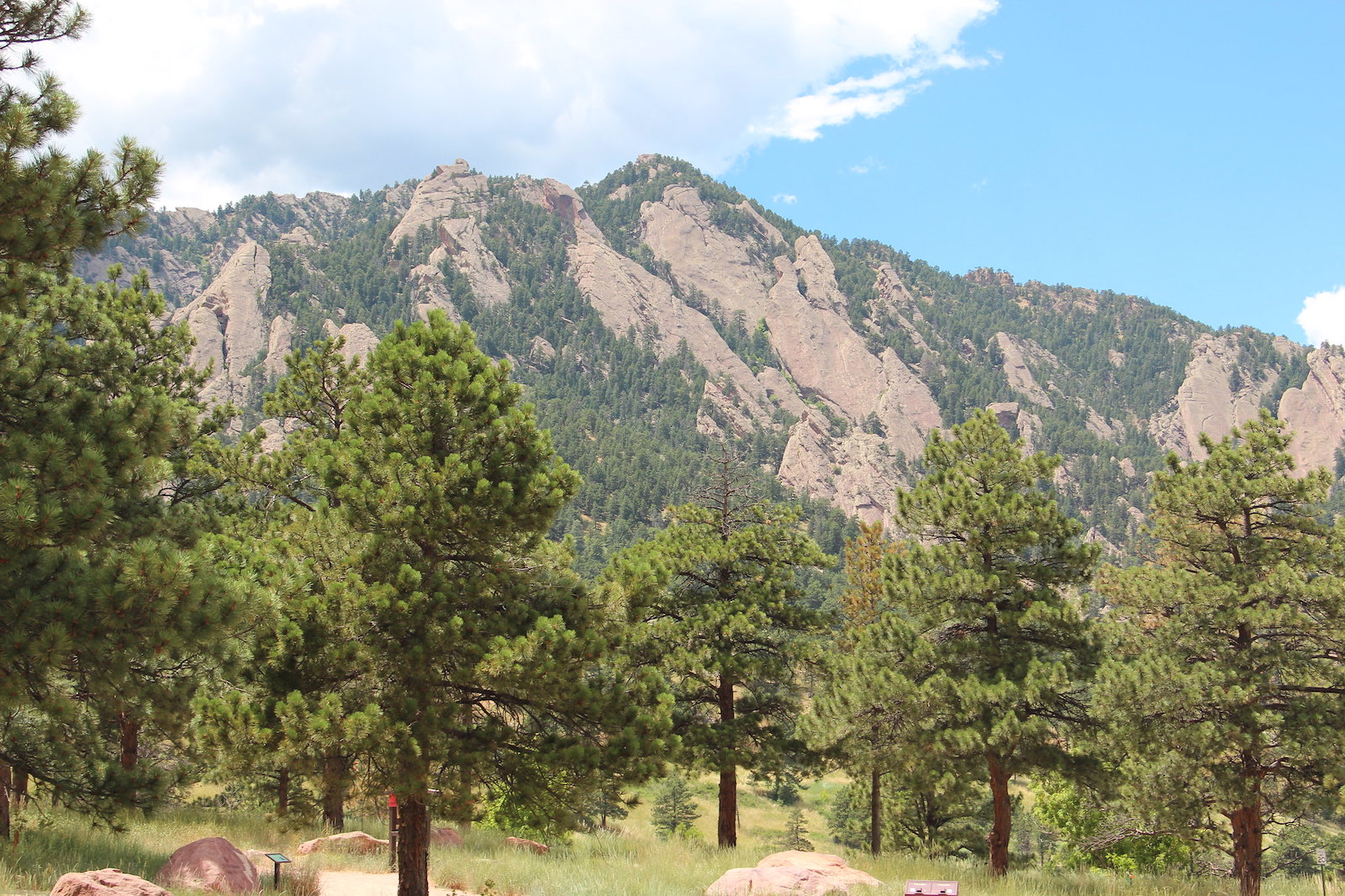
The highest of the five large, numbered formations, the Fourth Flatiron reaches up to approximately 7,500 feet above sea level near the summit of Green Mountain. It is the least visited of the group and is made up of three stacked sections, rather than one large continuous slab.
Fifth Flatiron
Southernmost in the group, the fifth flatiron is the most isolated of the five, standing about 7,4500 feet above sea level. It is located adjacent to the Royal Arch and can be reached via a popular hiking trail.
Green Mountain
Although technically not a “flatiron,” Green Mountain sits directly west of the iconic rock formations at 8,148 feet above sea level. It is the easiest of Boulder’s “Big Three” summits to ascend and is popular for hikers of varying fitness levels.
Bear Peak
At 8,461 feet, Bear Peak is the second of the Big Three summits, located about 2 miles south of Green Mountain. Although more demanding than Green Mountain, Bear Peak remains a popular, steep ascent near the Flatirons.
South Boulder Peak
The final of the Big Three, South Boulder Peak is the highest and least summited mountain in the area. It is found close to Bear Peak and has an elevation of 8,549 feet.
Why do they call them The Flatirons?
In American English, the term “Flatiron” is used to describe a smoothing iron designed to press items of clothing (also known as a “clothes iron”). Typically triangular, legend has it that early Colorado settlers nicknamed the massive rock slabs the “Flatirons” because they resemble these household devices.
Previous to unofficially being anointment as “the Flatirons”, the formations were known as the “Chautauqua Slabs” or the “Crags” around the turn of the 20th century. The nickname began to stick around the same time that the famous Flatiron Building in New York City was constructed and named for its triangular shape.
Flatirons Geological History
Although often misidentified, technically, the Flatirons should not be called “mountains,” as they are specific rock features. In topography, the term “flatiron” is used to describe any steep sloping landform that appears as a triangle.
While Boulder’s Flatirons are one of the most prevalent examples of this kind of formation, similar rock features can be found while entering Dinosaur National Monument, in Roxborough State Park, as well as in the Waterpocket Fold of Capitol Reef National Park in Utah.
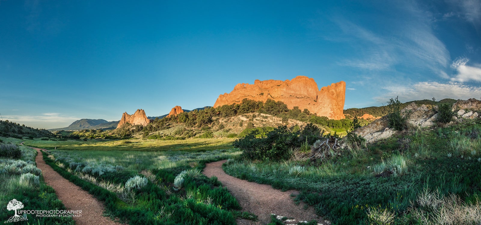
The Flatirons of Boulder are a part of the famous Fountain Formation that also created the iconic features of Morrison’s Red Rocks Park & Amphitheater and Colorado Springs’ Garden of the Gods. Geologists believe that the Flatirons are nearly 300 million years old and were most recently lifted and tilted during the Laramide Orogeny and exposed by erosion.
Made of conglomerate sandstone, Boulder’s Flatirons appear as a grey, reddish-brown sort of color. Up close, visitors can see smooth pink, red, and maroon sandstone with large amounts of gravel and quartz mixed throughout. The Flatirons are held together by a strong natural cement known as adularia (or sometimes moonstone) which was formed by potassium-rich water binding the sentiment together.
Ecology and Wildlife
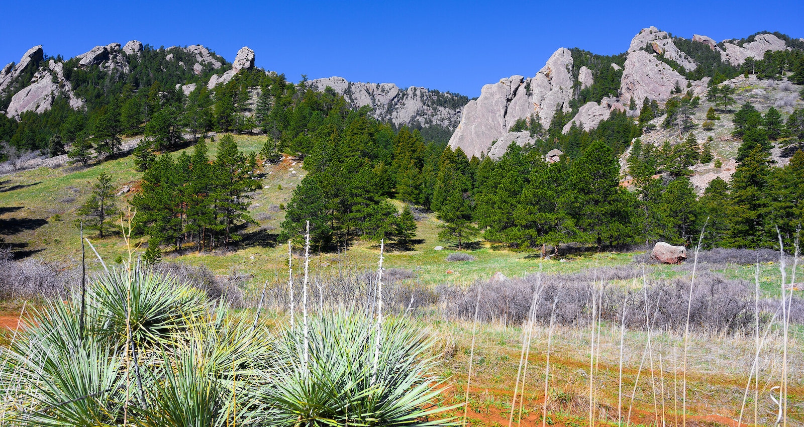
Above the large, open grassy fields, and below the “Big Three” mountain tops, the Flatirons emerge from within a thick Ponderosa Pine forest to create a one-of-a-kind natural environment. For spotting both mammals and birds near the Flatirons, the majority of wildlife interactions occur within the thick riparian forests found alongside Gregory Creek and South Boulder Creek.
The Flatirons’ surrounding foothills are a favorite for local birdwatchers, with the chance to see warblers, goldfinches, wrens, grosbeaks, tanagers, towhees, chats, and flycatchers, as well as nesting peregrine falcons, prairie falcons, and golden eagles. Each year, the Third Flatiron is closed to climbers and hikers to protect cliff-dwelling raptors during mating season from February through the end of July.
On the ground, Flatiron visitors may have a chance encounter with an elk, coyote, red fox, marmot, porcupine, or weasel. Although less likely, mountain lions and black bears have also been seen in the area and families should remain alert, keeping children and pets close at all times.
Cultural Significance
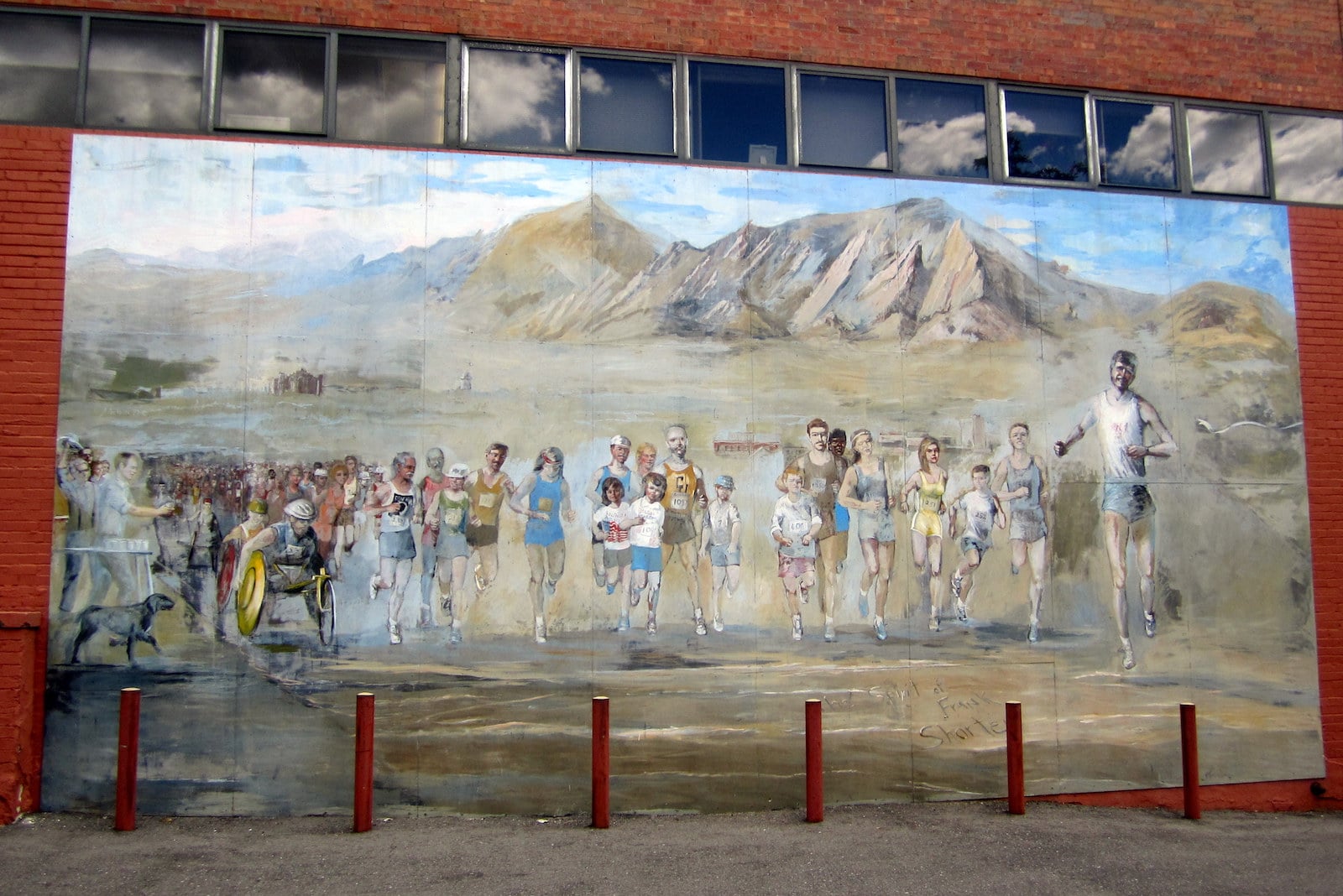
Synonymous with Boulder as a whole, references to the Flatirons can be found everywhere you look in the small mountain town. The Flatirons are pictured in logos for the City of Boulder as well as dozens of businesses in the region, many of which are named after the famous formations.
At the University of Colorado, the Silicon Flatirons Center for Law, Technology, and Entrepreneurship is named after “Silicon Valley” in California. Boulder is often referred to as “The Silicon Flatirons” in the tech industry.
As a stunning outdoor landmark, the Flatirons are incorporated into a considerable amount of local artwork, from poems to paintings, and more. For a free example in town, the Flatirons can be seen in the longstanding “Runners’ Mural” at the corner of Spruce and Broadway.
Drawing athletes in all disciplines, the Flatirons have also been the center of many recreational feats unique to Boulder. Throughout the past 50 years, people have made headlines for climbing the Flatirons in non-traditional circumstances, such as with rollerskates, in full scuba gear, as well as completely in the nude. In 2015, a professional skier was able to complete the 800-foot first descent down the First Flatiron.
Activities near the Flatirons
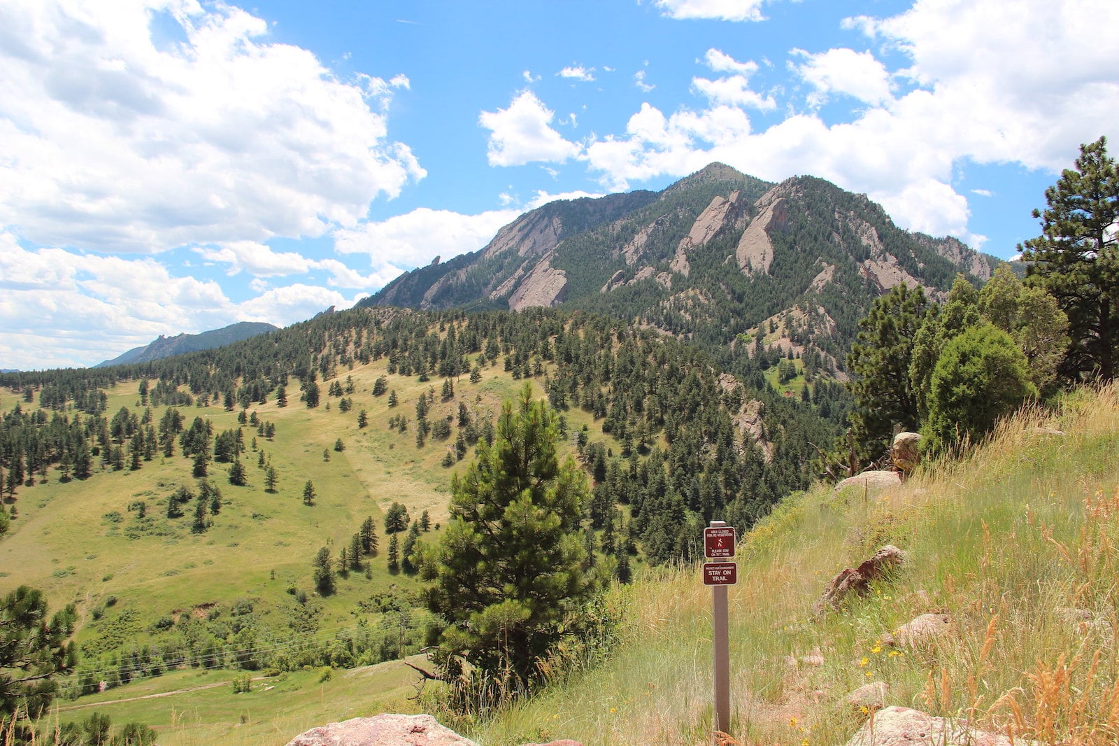
Although the formations can be seen while enjoying nearly any outdoor activity in the Boulder-Broomfield area, the best way to get up close and personal with the Flatirons is on a designated City of Boulder Open Space and Mountain Park trail.
Navigating through the five major flatirons and surrounding rock features, the trail system includes everything from open meadows, densely forested areas, and opportunities for steep-terrain scrambling.
Hiking: Aside from possibly photography, hiking in Boulder’s Open Space parks is by far the most popular way people enjoy the Flatirons. Throughout the many different routes of varying experience levels, it is very easy to tailor a hike near the Flatirons for any kind of adventure. Beyond the surrounding peaks and the Flatirons themselves, popular hiking destinations in the area include the Royal Arch and the Gregory Canyon Amphitheater.
Horseback Riding: For those who love a day on horseback, many trails in and around the Flatirons allow for equestrian travel. While most trails are marked with this designation at the trailhead, riders should be familiar with the routes before visiting and may want to consider downloading the Boulder area trails app to prepare.
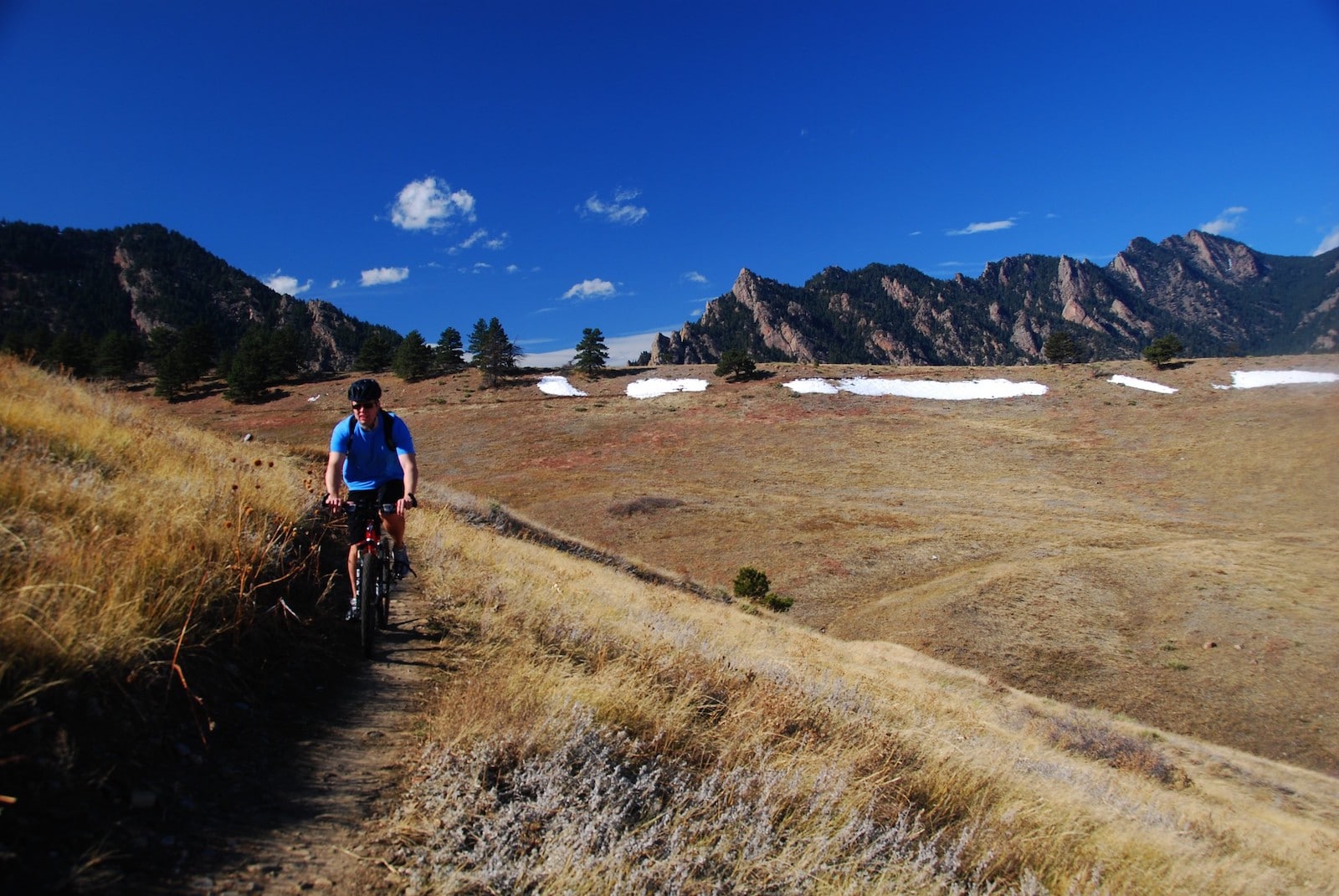
Mountain Biking: Although most of the trails around the Flatirons do not permit mountain biking, it is still possible to enjoy the view from the seat of your two-wheeler in surrounding areas. Namely, the Flatirons Vista Mountain Bike Trail between Eldorado Springs and Superior is a local singletrack favorite with epic views of the iconic rock formations.
Rock Climbing: More than anything, the Flatirons have played a significant role in the history of US rock climbing and helped to shape “sport climbing” as we know it today. The area remains a popular destination for climbers, with tons of designated options for sport climbing, top-roping, and trad climbing on single and multi-pitch routes. Notably, the eight-pitch “Standard East Face” on the Third Flatiron is one of the most popular multi-pitch routes in the world.
Synonymous with the town’s name, there are also hundreds of bouldering problems to be found in and around the Flatirons area. In town, a visit to the Neptune Mountaineering’s Climbing Museum is a worthwhile trip for new and experienced rock climbers alike.
Picnicking: To enjoy a great view of the Flatirons with lunch or a snack, there are picnic tables and bathroom facilities located in Chautauqua Park that are open for free, public use. If you plan to hike your picnic with you, it is very important to leave no trace and pack everything out to preserve the cherished natural space around the Flatirons.
Getting There
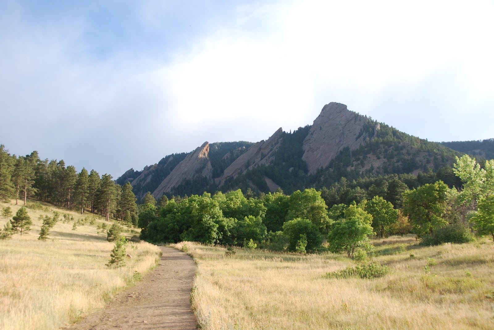
The Flatirons are the centerpiece of Boulder’s Open Space and Mountain Park system and can be accessed by vehicle from many different locations. Due to their popularity, trails and parking areas near the Flatirons can become very crowded, especially on weekends. Most parking lots require a small use fee per vehicle.
Minutes from the CU Boulder campus, one of the most common ways to access the Flatirons is near Chautauqua Park, with parking available along Baseline Road and at the Gregory Canyon Trailhead. Alternatively, the area can also be reached from the south via Eldorado Canyon (at the South Mesa trailhead) or from the west at multiple points along the winding Flagstaff Road.
Access to the Flatirons typically remains open all year long, although visitors should be prepared for snow-covered trails and potentially muddy conditions from mid-October until late spring.
Details
Address: Chautauqua Trailhead, Bluebell Road, Boulder, CO 80302
County: Boulder County
Nearby towns:
Coordinates:
- First Flatiron: 9°59’25.7″N 105°17’40.8″W
- Second Flatiron: 39°59’21.3″N 105°17’35.2″W
- Third Flatiron: 39°59’14.7″N 105°17’36.0″W
- Fourth Flatiron: 39°58’58.8″N 105°17’38.4″W
- Fifth Flatiron: 39°58’55.2″N 105°17’34.1″W
Interactive trail map: https://maps.bouldercolorado.gov/osmp-trails/

 13 Best Downhill Bike Parks in Colorado