The Continental Divide is the spine of the Western Hemisphere, from Alaska’s Brooks Range to the Andes in South America. It creates a natural division for rivers. The national trail runs approx. 3,100 miles from the Canadian border south to the Mexican border.
The Continental Divide National Scenic Trail might well be considered the most challenging and rigorous of the continent’s triple crown of long trails – the other two being the Appalachian Trail and Pacific Crest Trail. Designated in 1978, it’s known to have the longest trail distance.
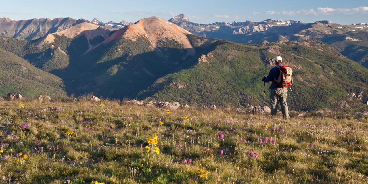
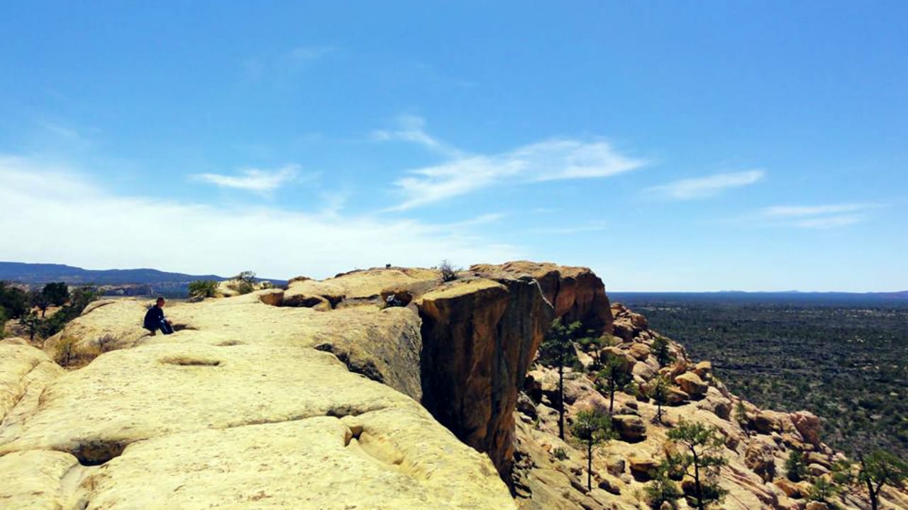
Hiking the Continental Divide Trail in Colorado
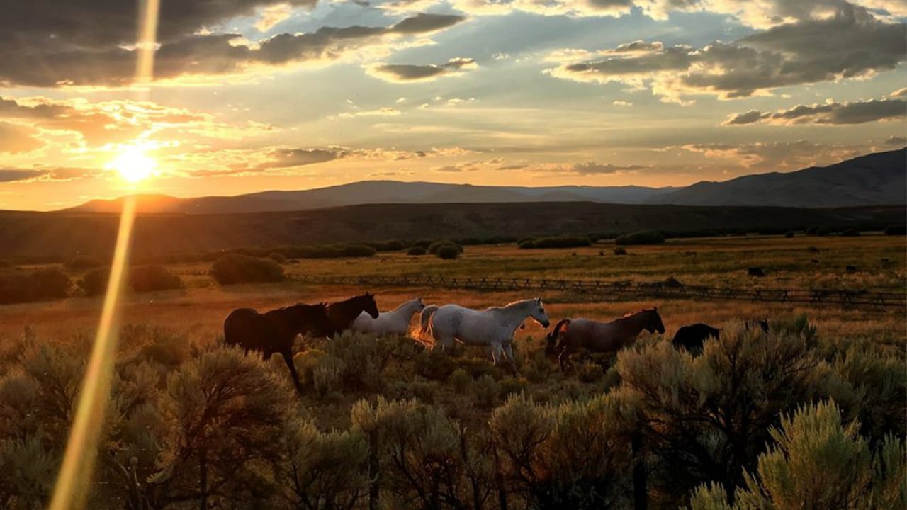
Its entire length traverses the Great Divide through five states, namely Montana, Idaho, Wyoming, Colorado, and New Mexico. It will require some four to five months of trekking to finish the entire trail. Trekkers can expect a variety of ecosystems, an abundance of wildlife, and thousands of natural, historical,l and cultural treasures.
Its total extent passes through 25 National Forests, 21 Wilderness Areas, 3 National Parks, 1 National Monument, and 8 Bureau of Land Management Resource Areas. The Colorado section of the trail holds the highest peak, which is the Grays Peak, having an elevation of over 14000 feet. Glacier National Park, with an elevation of 4,200 feet, is its lowest and is situated in Montana.
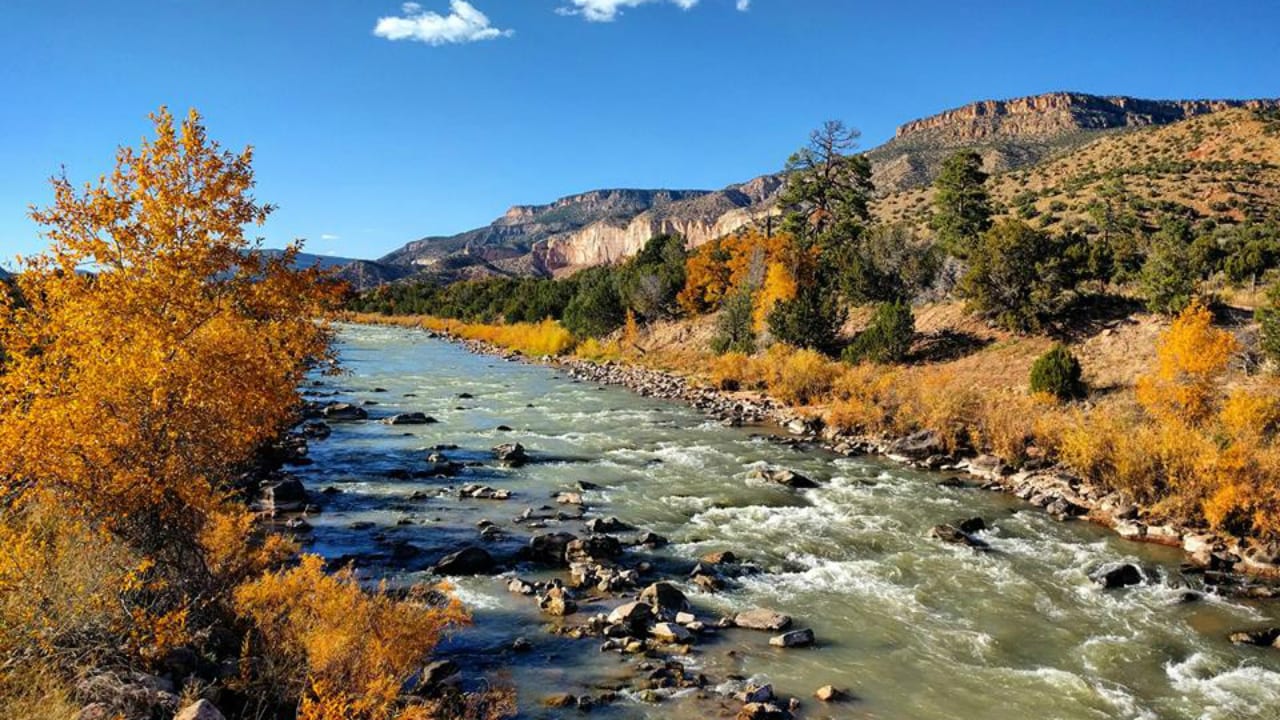
About 800 miles of its length is situated in Colorado. It interestingly coincides with The Colorado Trail for about 200 miles and passes through many of the highest mountains in Colorado, such as the Sawatch Mountain Range, Mount Elbert, Mount Massive, and the San Juan Mountain.
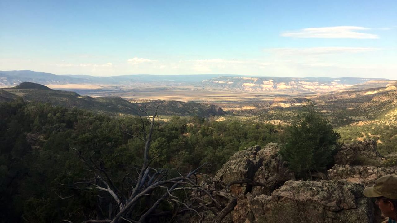
Other interesting places along the Continental Divide Trail in Colorado include:
- Collegiate Peaks Wilderness
- Rabbit Ears Pass
- Rocky Mountain National Park
- Wolf Creek Pass
- North, Middle, and South Park
Grand Lake is a great spot for getting replenishments for the through-the-state Continental Divide Trail hikers.
Day hikes on the Continental Divide Trail
The Continental Divide Trail in Colorado also has plenty of options for doing day or just short hikes:
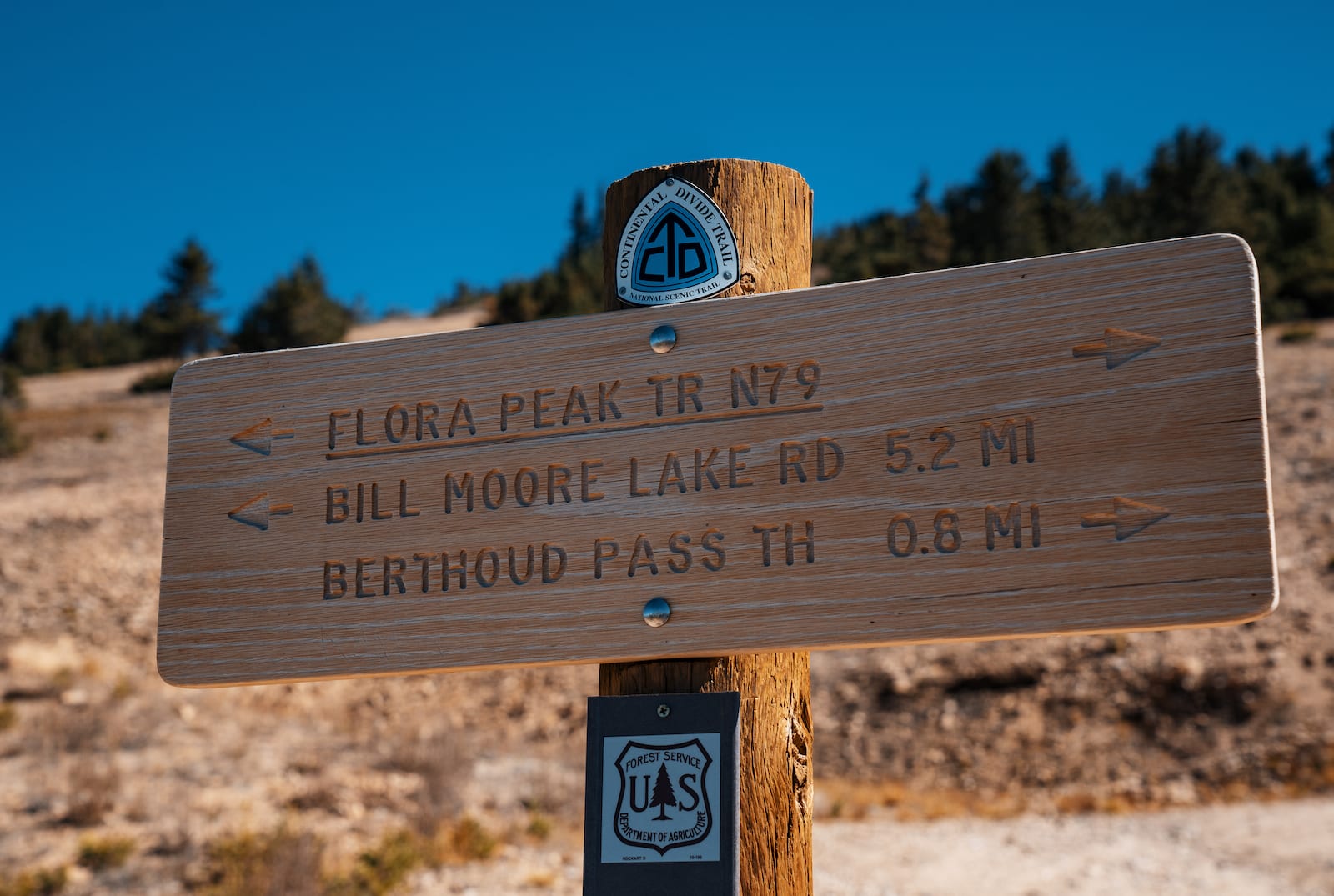
Berthoud Pass to Stanley Mountain (1,594 feet vertical) – 6.9 miles round trip, with trailhead access from I-70 to US 40 by Berthoud Pass.
Herman Gulch (1,919 feet vertical) – 7.5 miles round trip, with trailhead access from I-70
Parkview Mountain (2,913 feet vertical) – 10 miles round trip, with trailhead access from Willow Creek Pass on CO-125
Mount Edwards (2,950 feet vertical) – 7 miles round trip, with trailhead access from Argentine Pass
Camping on Continental Divide Trail
Whether trekking the trail for a few hours or a few days, some considerations must always be kept in mind. Arctic weather conditions typically last for nine months (September to May), which may make the adventure on the continental divide dangerous.
Wilderness permits are required for doing overnight camping in Glacier National Park (Montana), Yellowstone National Park (parts of Idaho, Wyoming, and Montana), the Blackfeet Reservation (Montana), the Indian Peaks Wilderness (Colorado,) and the Rocky Mountain National Park (Colorado). Self-contained stoves (for cooking) and metal grates (for campfires) are also required. Pets, especially dogs, are not allowed in most wilderness areas.
Fishing on Continental Divide Trail
Aside from camping, fishing (license required) is another popular activity, especially in the Rocky Mountain National Park. To protect wildlife, hunting is strictly prohibited in these wilderness areas.
Details
Address: New Mexico, Colorado, Wyoming, Idaho, Montana
Passes through: Grand Lake
Map: Continental Divide Trail (jpg)
Length: 3,100 miles, 800 miles in CO
Highest Point – 14,278 feet (Grays Peak in CO)
Trail Difficulty – Rigorous
Season: late June – early October
Website: cdtcoalition.org