Grand Mesa National Forest covers roughly 540 square miles in Western Colorado, centering on the Grand Mesa, the largest flat-top mountain in the world! Many parts of the national forest are accessible from Grand Junction.
The Grand Mesa itself rises to an average elevation of around 10,000 feet, with Crater Peak being the tip at 11,333 feet. Despite being bordered on three sides by arid valleys and lowlands, the mesa is covered in dense vegetation, lakes, ridges, and spectacular scenery.
Main Attractions
There are opportunities for a multitude of recreational activities in this beautiful forest, from winter snowmobiling and cross-country skiing to summer hiking and fishing. You can reach the national forest from Grand Junction, Delta, Cedaredge, Paonia, Parachute, Mesa, Collbran, and Palisade.
Map of Grand Mesa National Forest
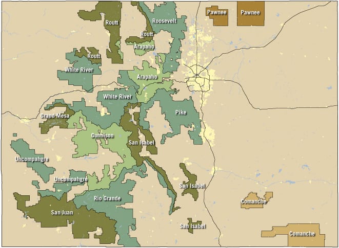
Grand Mesa National Forest is located in west-central Colorado and borders the White River National Forest to the northeast and Gunnison National Forest to the southeast.
Biking

Biking enthusiasts can find plenty to celebrate on the Grand Mesa. For road bikers, traversing the Grand Mesa Scenic Byway is a great way to see some of the regional highlights while tackling committing climbs and rewarding descents. For an extra kick, consider the 12-mile detour off of the byway to the Land’s End Observatory; the road is not paved but doable by bikes with thicker tires.
For mountain biking, the intermediate County Line Trailhead features rolling terrain, overlooks, and stunning foliage change come September. For longer adventures, try the Mesa Top Trail into the Flowering Park Loop. The West Bench Trail is another fun, flowy ride, with plenty of options to connect to the Powderhorn mountain bike network.
Boating
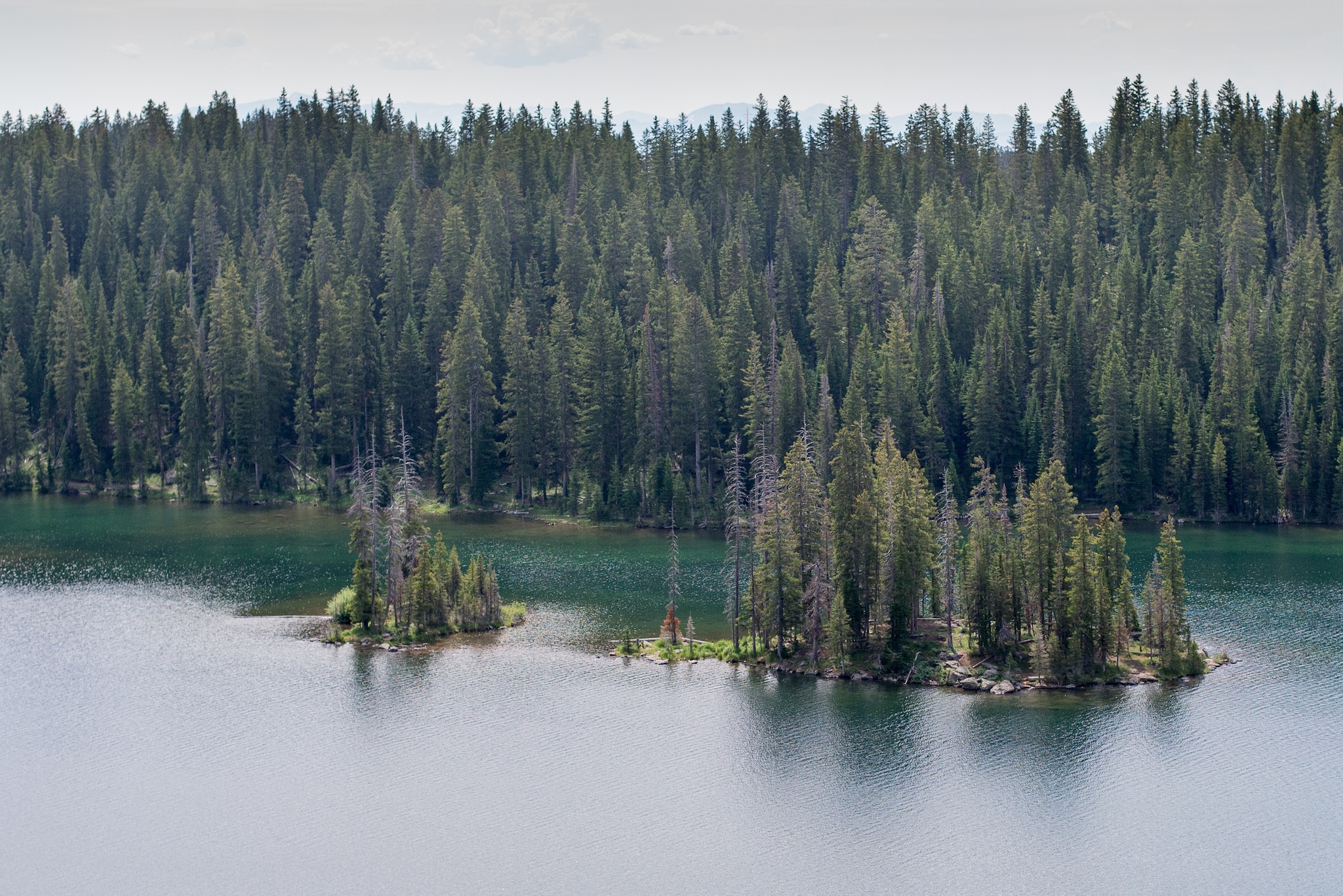
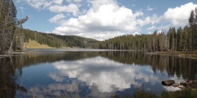
Grand Mesa National Forest is home to over 300 small to medium-sized lakes. Some of the easiest to access are Island and Eggleston Lakes, which allow motorized boating. Vela Reservoir also offers motorized boating, and the nearby Mesa Lake is an option but only for boats with electric motors.
Plenty of lakes allow nonmotorized boating access, like Trickle Park Reservoir, Big Creek Reservoir, and Sunset Lake. The Weir & Johnson Reservoir in the eastern part of the national forest is another great possibility, alongside the remote Overland Park Reservoir, which is best accessed from the town of Paonia.
Camping
Camping in the Grand Mesa National Forest is a rewarding and relaxing experience. Whether you choose to set up near one of the hundreds of lakes, or along a quiet forest service road with only aspens and chipmunks to keep you company: it’s hard to go wrong.
Like many neighboring national forests, Grand Mesa also has a couple of USFS cabins you can rent. Both Black Bear Cabin and Moose Manor Cabin offer a chance to get amongst the scenic beauty of the region while sleeping indoors. Due to the heavy winter snow, both cabins are only open from late June through late September.
Read about the camping near Cedaredge, Collbran, and Grand Mesa.
Fishing
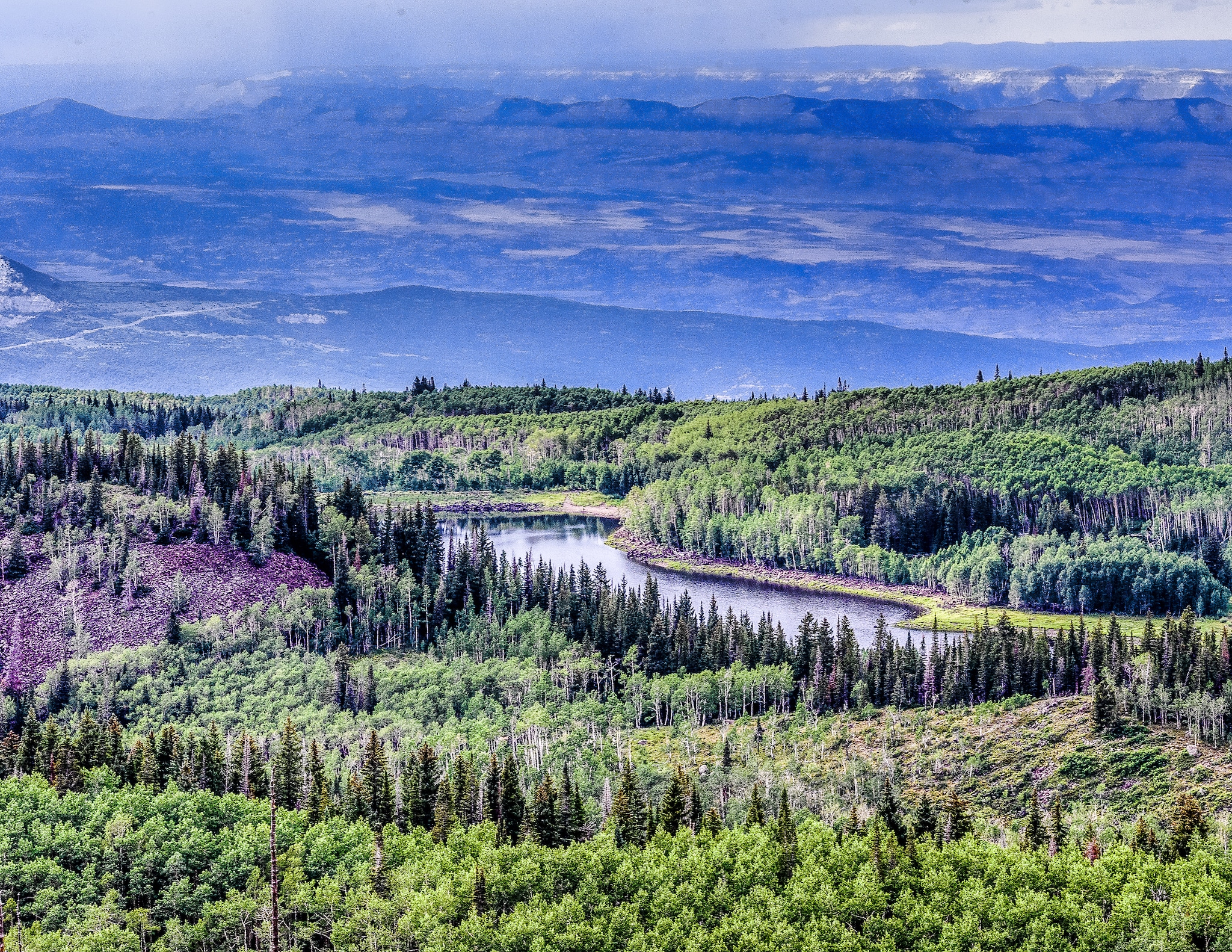
As previously mentioned, the Grand Mesa National Forest contains 300 separate lakes, many of which harbor some truly excellent fishing. The Bull Creek area, along with Bull Basin Reservoirs 1-5, are local favorites, though some of the reservoirs require artificial lures and have possession limits. This brochure does a decent job of highlighting restrictions on some of the popular lakes in the national forest.
Other productive areas include Kannah Creek, Carson Lake, Grandby Reservoirs 1-9, Coal Creek Basin, and Beaver Lake in the western part of the national forest. The eastern half is generally harder to access but contains suitable options like Overland Park Reservoir, Weir/Johnson Reservoir, Hubbard Creek (and its three main branches), Cow Creek, and Dyke Creek.
Hiking
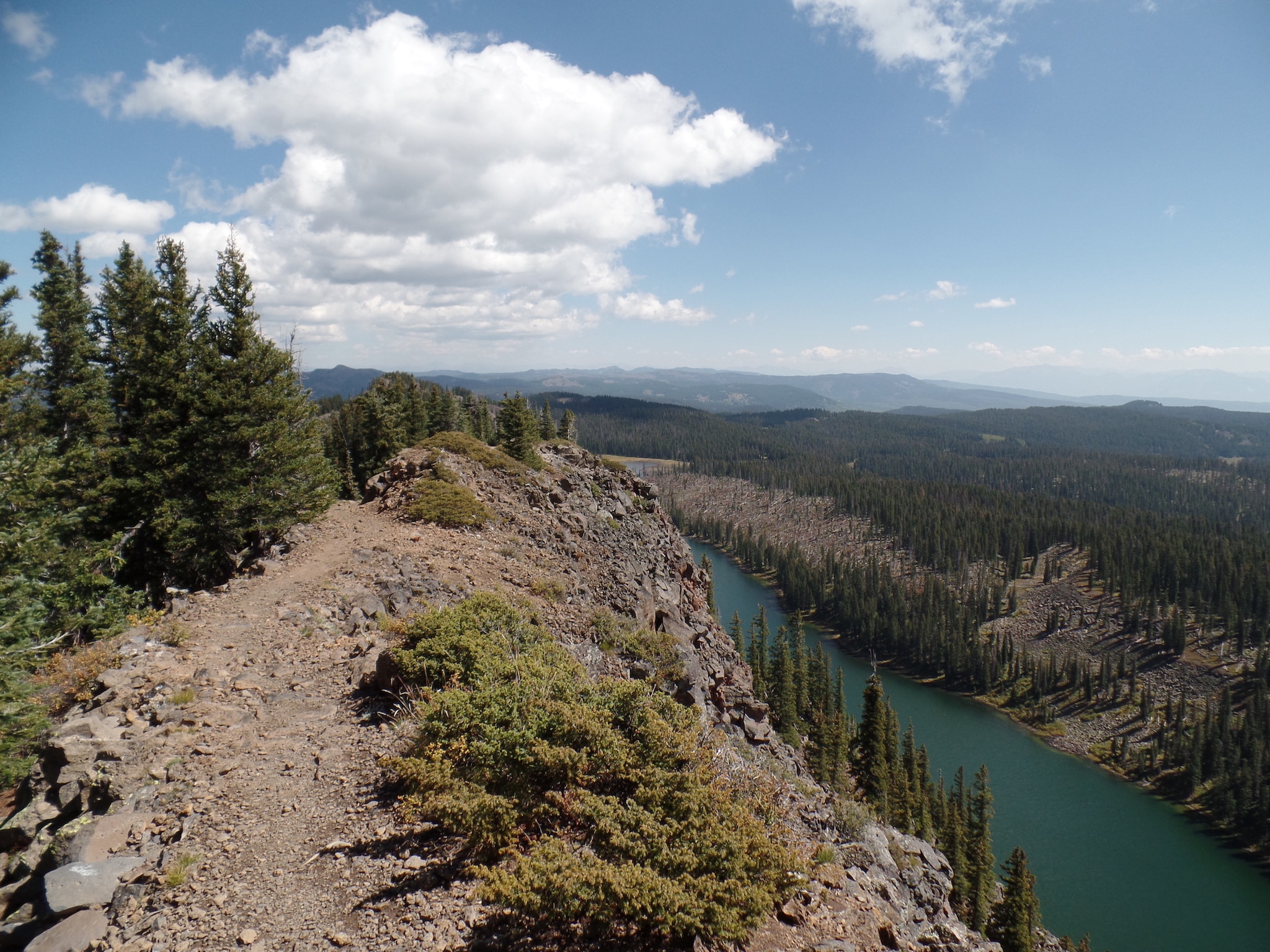
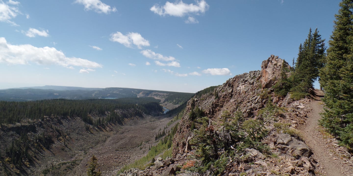
There are a series of brilliant trails atop the Grand Mesa, and the long-range views can be utterly spectacular. For families, the small trails around Lands End Observatory and the half-mile Land of Lakes Trail, are perfect outings. One of the regional standouts is the Crags Crest Trail, a 10-mile loop that attacks a ridge above the mesa and provides sweeping panoramic views of the surroundings.
The Flowing Park Loop, near Powderhorn Resort, is a relatively flat 15-mile lollipop loop that offers views and beautiful stretches of forest. The trail is a multi-use path and is popular with mountain bikers as well. For those looking to challenge themselves, the 16-mile, 4,000-foot gain Kannah Creek Trail is quite the endeavor.
OHV
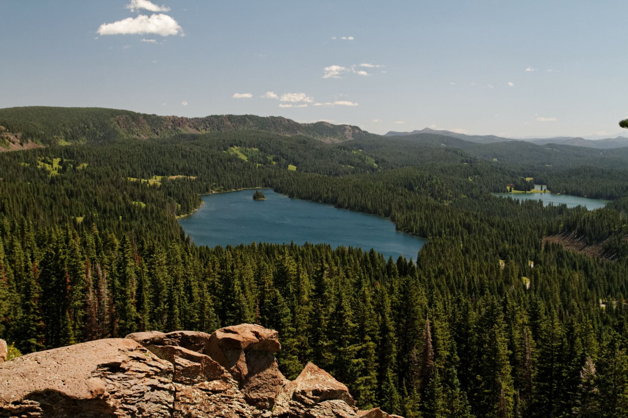
There are plenty of trails for OHV and ATV fans to enjoy in Grand Mesa National Forest. One of the more popular OHV locations is the Battlement Jeep Area, which can be accessed via the I-70 corridor near the town of Rifle and traverses through lands in both Grand Mesa and the White River National Forests. Another popular trail is a loop connecting Forest Service Road 100 and 105 near Land’s End observatory; keep in mind that ATVs are not allowed on the Land’s End Road.
With over 150 miles of forest service roads crisscrossing the mesa, the chance to create unique routes makes this region stand out. Many roads are seldom traveled, so a good set of orientation tools is necessary. For detailed information on individual trails, along with geolocational data and maps, visit the USFS OHV Trail Riding page.
Scenic Drives
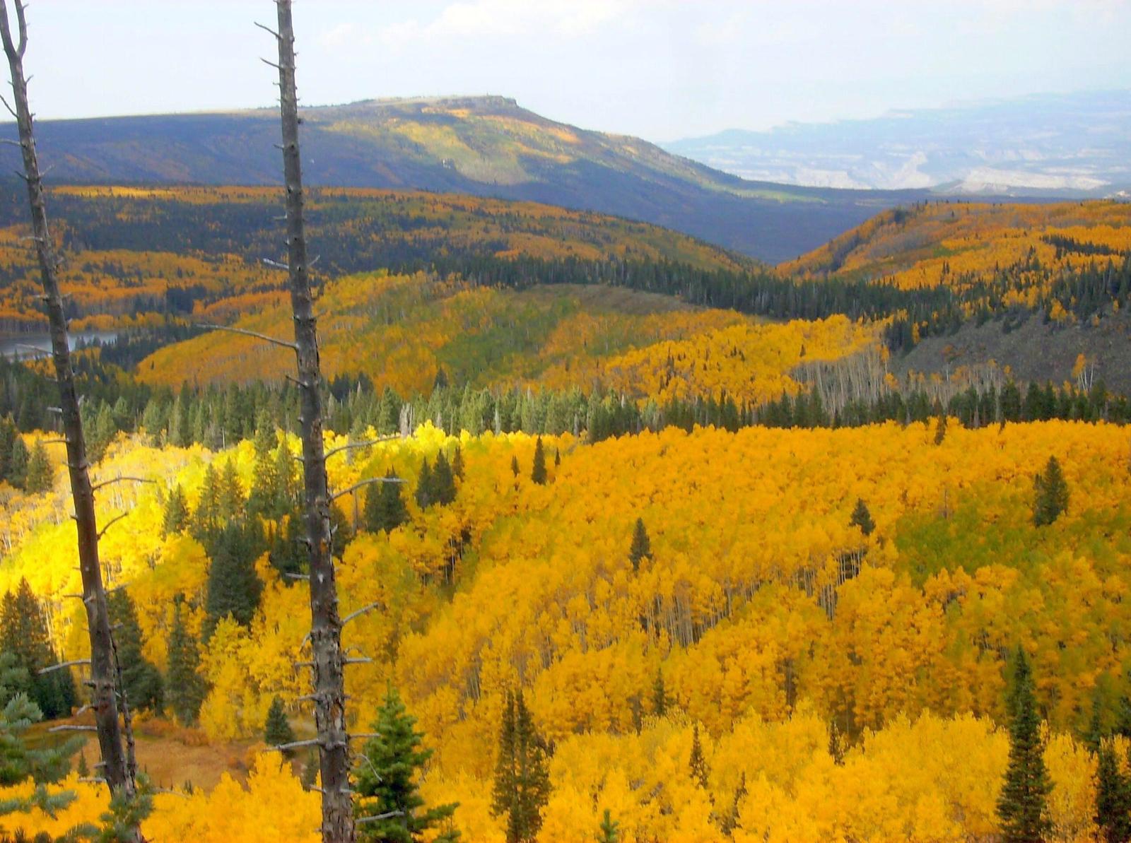
The Grand Mesa Scenic Byway is a 63-mile highway connecting the quiet town of Cedaredge (near Delta) with I-70 near Mesa to the north. It climbs from the valley to over 11,000 on top of the mesa. An 11-mile detour along the byway leads to the Lands End Observatory, which gazes 6,000 feet below. Campgrounds and primitive car camping exist along the way.
Another possible route is along the Old Grand Mesa Road, which, like its scenic byway cousin, splits the forest on a north-south route. The road surface is dirt, but it’s well-maintained and traversable with a 2WD vehicle. Watch out for washboard sections and slow your speed down to avoid rattling low-clearance cars.
Winter Recreation

Due to the unique geography along the crest of the Grand Mesa, there are excellent cross-country ski trails to take advantage of, especially near the scenic byway. Snowmobiling is also a popular activity and allows you to head deeper into parts of the forest that would otherwise require a herculean effort to reach. The most popular trail is the Sunlight-Powderhorn trail, which unlocks access to over 180 miles of snowmobiling bliss.
For downhill skiers, Powderhorn Mountain Ski Resort, situated south of Mesa, provides an uncluttered and uncrowded resort experience. The runs are well-maintained and when it snows, the quality is light and dry. The lakes along the Grand Mesa Scenic Byway can also support ice fishing and pond skating, conditions permitting.
Grand Mesa National Forest covers and highlights the majority of the largest flattop mountain in the world. Like the prow of a ship breaking up the desert climes at its base, the mesa provides a wonderful array of spectacular contrasts all year long.
Details
Nearby Towns:
Motor Vehicle Use Map:
- Grand Mesa (PDF) – Cedaredge, Collbran
Recreation: Biking, Boating, Camping, Fishing, Hiking, Hunting, Picnicking, OHV, Scenic Drives, Cross Country Skiing, Snowmobiling, Snowshoeing
Grand Mesa Campgrounds: Reservations
Website: fs.usda.gov/gmug

