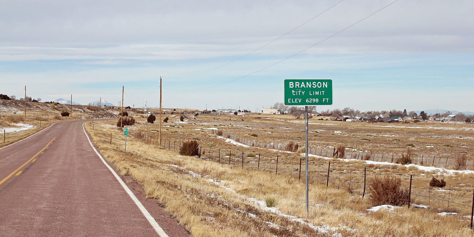
Branson is a minuscule town tucked away on the border of Colorado and New Mexico in the southeast plains. In fact, at only 0.30 miles from the New Mexico border, it’s the southernmost town in the state of Colorado.
In 2010 it had a population of only 74. The town of Branson is located at 6,256 feet in Las Animas County. The town lies about 50 minutes drive southeast of the county seat, Trinidad.
Branson resides in the Black Mesa area, surrounded by little flat-top mountains. Its farming legacy was affected by the Dust Bowl. Today the economy revolves around ranching. In its heyday, it was larger, and some of its beautiful historic buildings can still be seen today.
History
The town was first called Wilson/Wilson Switch because it was located on a railroad switch, and then renamed to Coloflats. In 1915 a Post Office was set up and the town official changed to Branson three years later in 1918. A depot was added that year. The community was named for the man who platted the town on his private acreage, Josiah F. Branson.
In March of 1921, Branson was incorporated. The mesas that lie south of town separate Colorado and New Mexico. A small branch of the Santa Fe Trail passes nearby town.
The region was lousy for farming, but the residents still tried. There was some success with grain and the town peaked at 1000 people in the 1920s. Three grain elevators, a bank, a newspaper, and saloons, all came to Branson. In the 1930s the population dwindled rather quickly due to the drought and following Dust Bowl. The economy then shifted to ranching from farming.
Activities near Branson
Towns:
- Aguilar (65mi)
- Cokedale (58mi)
- Cuchara (109mi)
- Kim (42mi)
- La Veta (97mi)
- Monument Park (88mi)
- Segundo (64mi)
- Starkville (54mi)
- Stonewall (82mi)
- Trinidad (49mi)
- Walsenburg (81mi)
- Weston (72mi)