• Skip to main content
  • Skip to header right navigation
  • Skip to site footer
Uncover Colorado Logo

Free Colorado Travel Guide | Vacations, Travel and Tourism

  • Blog
  • Activities
  • Events
  • Lodging
  • Towns
  • Trip Planner

Valdez, Colorado

Valdez Colorado State Highway 12
Entering Valdez, CO on CO-12. Photo by: Jeffrey Beall

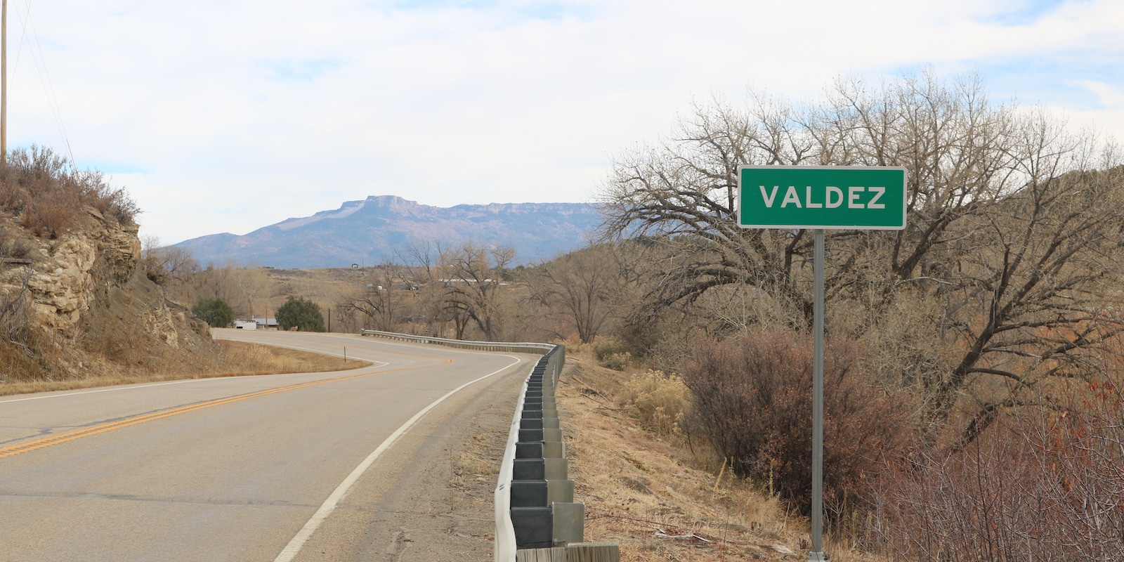
This tiny unincorporated community sits twenty minutes west of Trinidad on highway CO-12. In 2010 Valdez had a population of 47 and is served by Trinidad’s post office.

Valdez sits at 6,503 feet of elevation in Las Animas County. It had a CDP population of 46 at the time of the 2020 census.

There’s not much to it and it’s passed by quickly on the Highway of Legends heading from Trinidad to La Veta. The little town of Segundo borders Valdez to the west in the Purgatoire River Valley.

History

The census-designated place (CDP) of Valdez is a former company town for Colorado Fuel & Iron from 1907 to 1960. Its time as a company town operated the Frederick coal mine.

Activities near Valdez

Federal Lands:

  • San Isabel National Forest

Scenic Drives:

  • Highway of Legends

State Parks:

  • Trinidad Lake (16mi)

State Wildlife Areas:

  • Bosque del Oso SWA (14mi)
  • North Lake SWA (28mi)

Towns:

  • Aguilar (34mi)
  • Cokedale (6mi)
  • Cuchara (41mi)
  • La Veta (52mi)
  • Ludlow (29mi)
  • Monument Park (24mi)
  • Stonewall (18mi)
  • Trinidad (14mi)
  • Segundo (1mi)
  • Walsenburg (51mi)
  • Weston (9mi)

Sidebar

Las Animas County

  • All Towns
  • Las Animas County
  • Aguilar
  • Branson
  • Cokedale
  • Delhi
  • Hoehne
  • Kim
  • Model
  • Monument Park
  • Segundo
  • Starkville
  • Stonewall
  • Thatcher
  • Trinidad
  • Tyrone
  • Valdez
  • Weston
  • Home
  • About Us
  • Contact Us
  • Privacy Policy
  • Resources
  • Disclaimer—Terms of Service

Copyright © 2025 · Free Colorado Travel Guide | Vacations, Travel and Tourism · All Rights Reserved