• Skip to main content
  • Skip to header right navigation
  • Skip to site footer
Uncover Colorado Logo

Free Colorado Travel Guide | Vacations, Travel and Tourism

  • Blog
  • Activities
  • Events
  • Lodging
  • Towns
  • Trip Planner

Bountiful, Colorado

Bountiful Colorado City Limit Sign
City limit sign for Bountiful, CO on Highway 285.

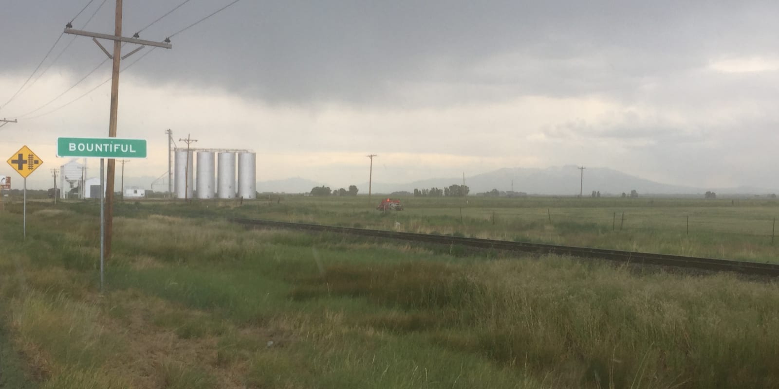
Bountiful is a tiny unincorporated community in south-central Colorado located between La Jara and Romeo. The ranching community is situated on the Rio Grande Western Railroad.

There’s no downtown area or any shops or restaurants in town. The name is suspected to be of Mormon origin. Bountiful is part of Conejos County.

Activities near Bountiful

Dude Ranches:

  • Rainbow Trout Ranch (35mi)

Federal Lands:

  • Rio Grande National Forest
  • South San Juan Wilderness

Landmarks:

  • Cano’s Castle (10mi)

Towns:

  • Alamosa (18mi)
  • Antonito (10mi)
  • Blanca (38mi)
  • Capulin (11mi)
  • Chama, CO (39mi)
  • Chama, NM (55mi)
  • Conejos (10mi)
  • Fort Garland (43mi)
  • La Jara (4mi)
  • Manassa (6mi)
  • Monte Vista (33mi)
  • Romeo (4mi)
  • San Luis (35mi)
  • Sanford (6mi)

Train Rides:

  • Cumbres & Toltec Railroad (11mi)

Sidebar

Conejos County

  • All Towns
  • Conejos County
  • Antonito
  • Bountiful
  • Capulin
  • Conejos
  • La Jara
  • Manassa
  • Platoro
  • Romeo
  • Sanford
  • Home
  • About Us
  • Contact Us
  • Privacy Policy
  • Resources
  • Disclaimer—Terms of Service

Copyright © 2025 · Free Colorado Travel Guide | Vacations, Travel and Tourism · All Rights Reserved