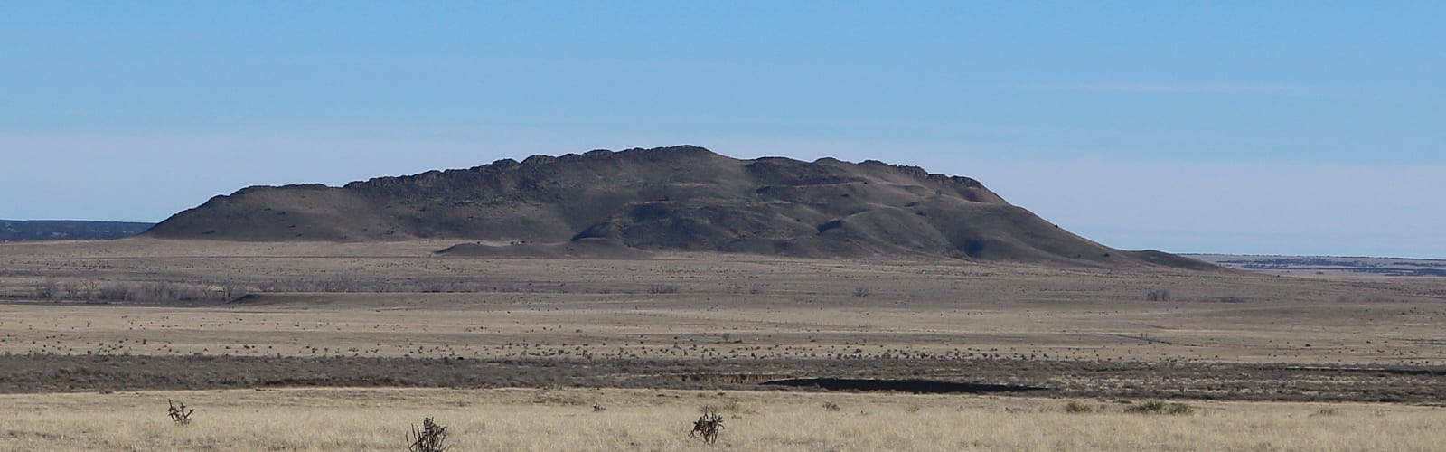
Known as the “Gateway to the Spanish Peaks”, Aguilar lies twenty miles north of Trinidad in southern Colorado. It’s a tiny community residing at 6,394 feet, with a community of only around 538 as of 2010.
Situated in Las Animas County, the town was founded in 1888 and incorporated in 1894. It was named for its founder, a state legislator by the name of José Ramón Aguilar. There was a Post Office in Aguilar in 1890.
History
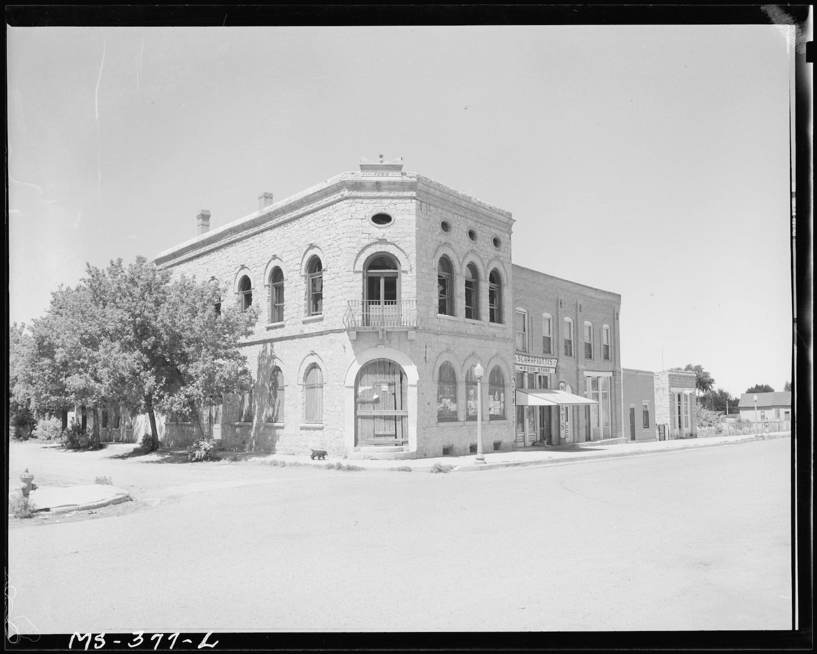
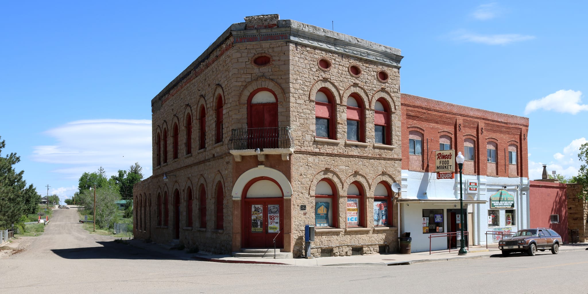
In its prime, Aguilar had more than 2,500 people living in town. This was during the coal mining boom of the late 1800s and early 1900s. A railroad came to Aguilar in 1892 when the Colorado & Southern Railway connected into Aguilar. These heyday years in the 1890s saw fast growth. Four hotels, multiple markets, churches, a bank, a mortuary, and fourteen saloons.
Main Attractions
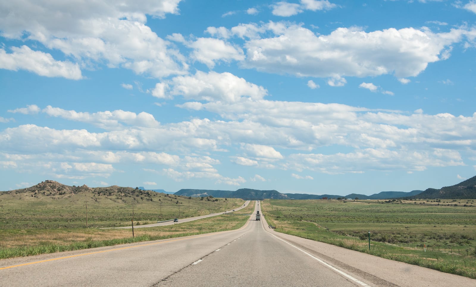
Highway of Legends – Aguilar resides on the Highway of Legends between Walsenburg and Trinidad. It marks the gateway to the Cordova Pass, a unique section of this national historic byway.
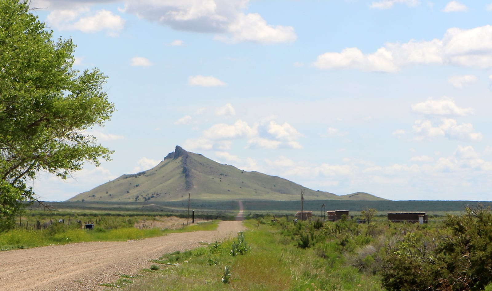
Spanish Peaks – Located on I-25, Aguilar marks the eastern entry to the West Spanish Peak. Take County Road 43.7, which goes through Gulnare toward Cuchara. This all lies in the Cuchara River Valley on the eastern side of the Sangre de Cristos.
Recreation
The San Isabel National Forest lies to the west of town. It offers everything from dispersed camping and campgrounds to mountain lakes and backcountry wilderness.
Read about the Camping near Trinidad, Walsenburg and La Veta.
Activities near Aguilar
Federal Lands:
Ghost Towns:
- Ludlow (8mi)
Scenic Drives:
Towns:
- Branson (65mi)
- Cokedale (28mi)
- Cuchara (45mi)
- Kim (86mi)
- La Veta (34mi)
- Monument Park (57mi)
- Segundo (34mi)
- Starkville (24mi)
- Stonewall (51mi)
- Trinidad (20mi)
- Walsenburg (41mi)
- Weston (18mi)