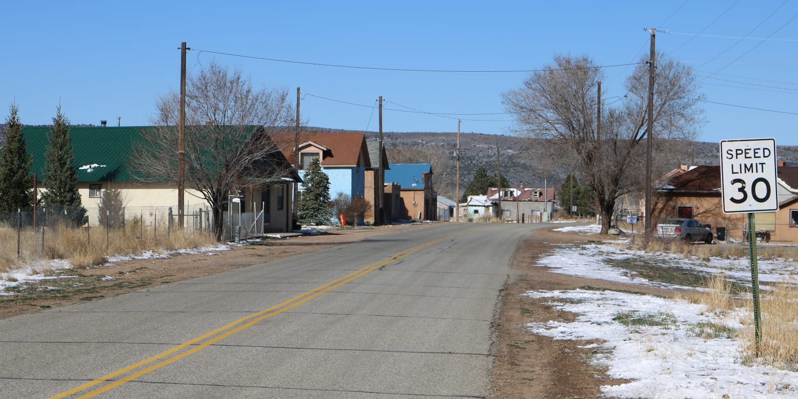
Established in 1860, Chama is a tiny unincorporated community hidden in South Central Colorado 4 miles southeast of San Luis. The population is estimated to be around 60 residents.
Located in Costilla County, Chama lies at the base of Culebra Ranch. Many of the old homes in town are adobe style, like those seen in Santa Fe, NM.
It has its own U.S. Post Office in operation since 1907 with a zip code of 81126. The town was founded at an elevation of 8,179 feet by pioneers from Chamita, New Mexico.
Activities near Chama
Dude Ranches:
- Rainbow Trout Ranch (66mi)
Federal Lands:
Landmarks:
- Cano’s Castle (42mi)
Rivers:
Towns:
- Alamosa (45mi)
- Antonito (42mi)
- Blanca (24mi)
- Bountiful (39mi)
- Capulin (51mi)
- Chama, NM (90mi)
- Conejos (42mi)
- Fort Garland (20mi)
- La Jara (41mi)
- La Veta (52mi)
- Manassa (41mi)
- Monte Vista (32mi)
- Romeo (35mi)
- San Luis (4mi)
- Sanford (33mi)
Train Rides:
- Cumbres & Toltec Railroad (43mi)