• Skip to main content
  • Skip to header right navigation
  • Skip to site footer
Uncover Colorado Logo

Free Colorado Travel Guide | Vacations, Travel and Tourism

  • Blog
  • Activities
  • Events
  • Lodging
  • Towns
  • Trip Planner

Coaldale, Colorado

Coaldale Colorado Abandoned Bridge
Abandoned bridge in Coaldale, CO. Photo: Jeffrey Beall

Situated at 6,550 feet, Coaldale is a census-designated place (CDP) on Highway US-50. It’s located about 45 minutes west of Cañon City.

There is a Coaldale Post Office in operation with a zip code of 81222. The Fremont County town had a population of 462 in 2020.
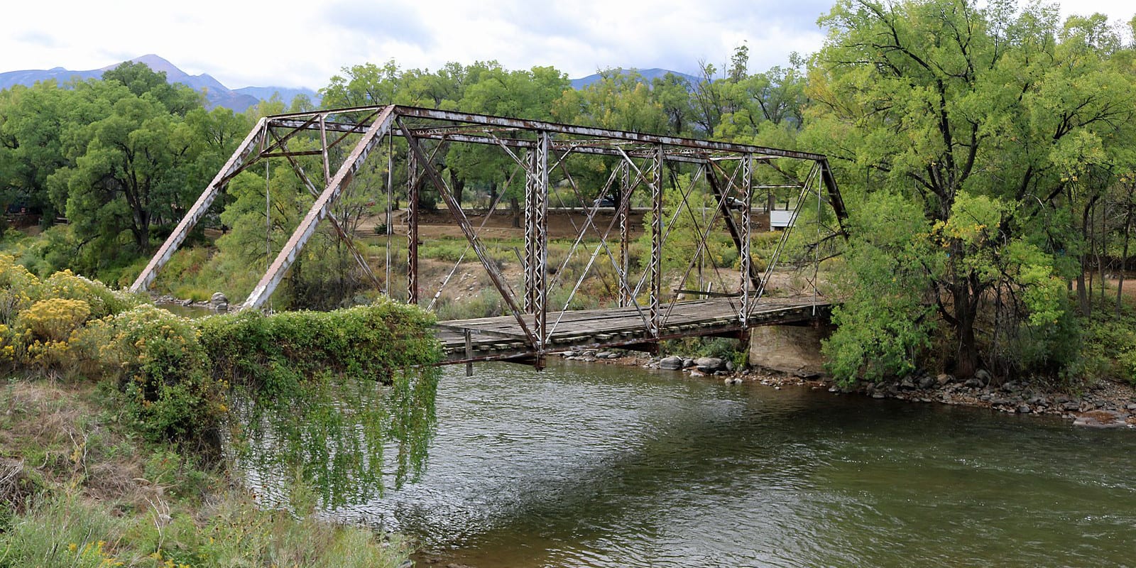
Recreation

Camping: Read about the camping near Westcliffe and Rye, Coaldale.

Activities near Coaldale

Federal Lands:

  • Arkansas River
  • San Isabel National Forest
  • Sangre de Cristo Wilderness

Towns:

  • Cañon City (38mi)
  • Colorado Springs (83mi)
  • Cotopaxi (4mi)
  • Cripple Creek (64mi)
  • Guffey (50mi)
  • Hartsel (68mi)
  • Hillside (14mi)
  • Howard (8mi)
  • Poncha Springs (24mi)
  • Pueblo (77mi)
  • Salida (21mi)
  • Silver Cliff (28mi)
  • Texas Creek (14mi)
  • Wellsville (15mi)
  • Westcliffe (27mi)

Sidebar

Fremont County

  • All Towns
  • Fremont County
  • Cañon City
  • Coaldale
  • Cotopaxi
  • Florence
  • Hillside
  • Howard
  • Penrose
  • Texas Creek
  • Wellsville
  • Home
  • About Us
  • Contact Us
  • Privacy Policy
  • Resources
  • Disclaimer—Terms of Service

Copyright © 2025 · Free Colorado Travel Guide | Vacations, Travel and Tourism · All Rights Reserved