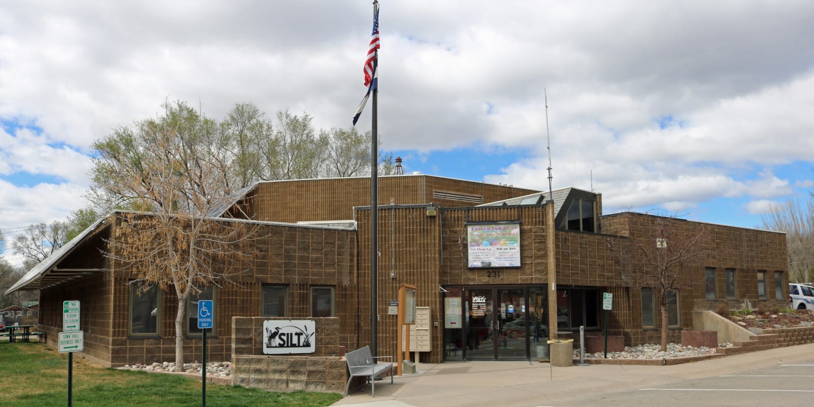
Silt is an Interstate 70 town located in western Colorado. It has a fairly large population for a mountain town of 3,536 at the time of the 2020 census.
The elevation of Silt is 5,456 feet. There has been a Silt Post Office mailing letters since 1898. The town was incorporated in May of 1915 and resides in Garfield County, halfway between Rifle and New Castle on I-70, seven miles from each. Silt was called so because of the silt deposits found at the town’s original location.
Recreation
Camping: Read about the camping near Silt, Rifle and Glenwood Springs.
Activities near Silt
Federal Lands:
Landmarks:
State Parks:
- Harvey Gap State Park (5mi)
- Rifle Falls State Park (13mi)
- Rifle Gap State Park (13mi)
Towns:
- Aspen (60mi)
- Basalt (42mi)
- Carbondale (32mi)
- Clifton (62mi)
- De Beque (37mi)
- Dotsero (37mi)
- Eagle (50mi)
- El Jebel (38mi)
- Glenwood Springs (19mi)
- Grand Junction (68mi)
- Gypsum (43mi)
- New Castle (7mi)
- Palisade (57mi)
- Parachute (53mi)
- Rifle (7mi)
- Snowmass Village (58mi)
Transportation: