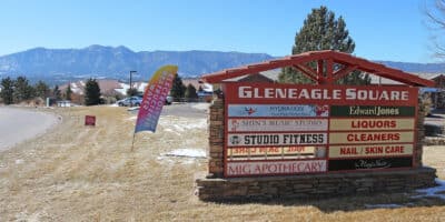
Located just north of Colorado Springs, Gleneagle resides in the Northgate area of the Colorado Metropolitan Area. To the west of it is the Air Force Academy and to the east is Black Forest.
This census-designated place (CDP) has a population of 6,649 at the time of the 2020 census. The elevation of Gleneagle is 6,870 feet above sea level, making it a little more than 800 feet higher than downtown Colorado Springs. The total area for the CDP is 1500 acres, 3.2 acres of which is water.
Gleneagle is part of El Paso County and has the zip code 80921.
Activities near Gleneagle
See Colorado Springs for nearby things to do.
Towns:
- Black Forest (9mi)
- Cañon City (61mi)
- Castle Pines (34mi)
- Castle Rock (26mi)
- Centennial (40mi)
- Colorado Springs (17mi)
- Denver (55mi)
- Florence (56mi)
- Fort Carson (25mi)
- Fountain (31mi)
- Greenwood Village (46mi)
- Highlands Ranch (43mi)
- Littleton (48mi)
- Lone Tree (38mi)
- Manitou Springs (mi)
- Monument (5mi)
- Palmer Lake (9mi)
- Parker (39mi)
- Penrose (50mi)
- Pueblo (59mi)
- Pueblo West (60mi)
- Roxborough Park (46mi)
- Sedalia (34mi)