
Located in Central Colorado, Breckenridge has earned prestigious recognition for its world-class skiing, but there is more to Breckenridge than its soft powder slopes. Summer in Breckenridge attracts outdoor enthusiasts with its plentiful hiking trails filled with wildflowers, rushing creeks and rivers, and its majestic mountain views.
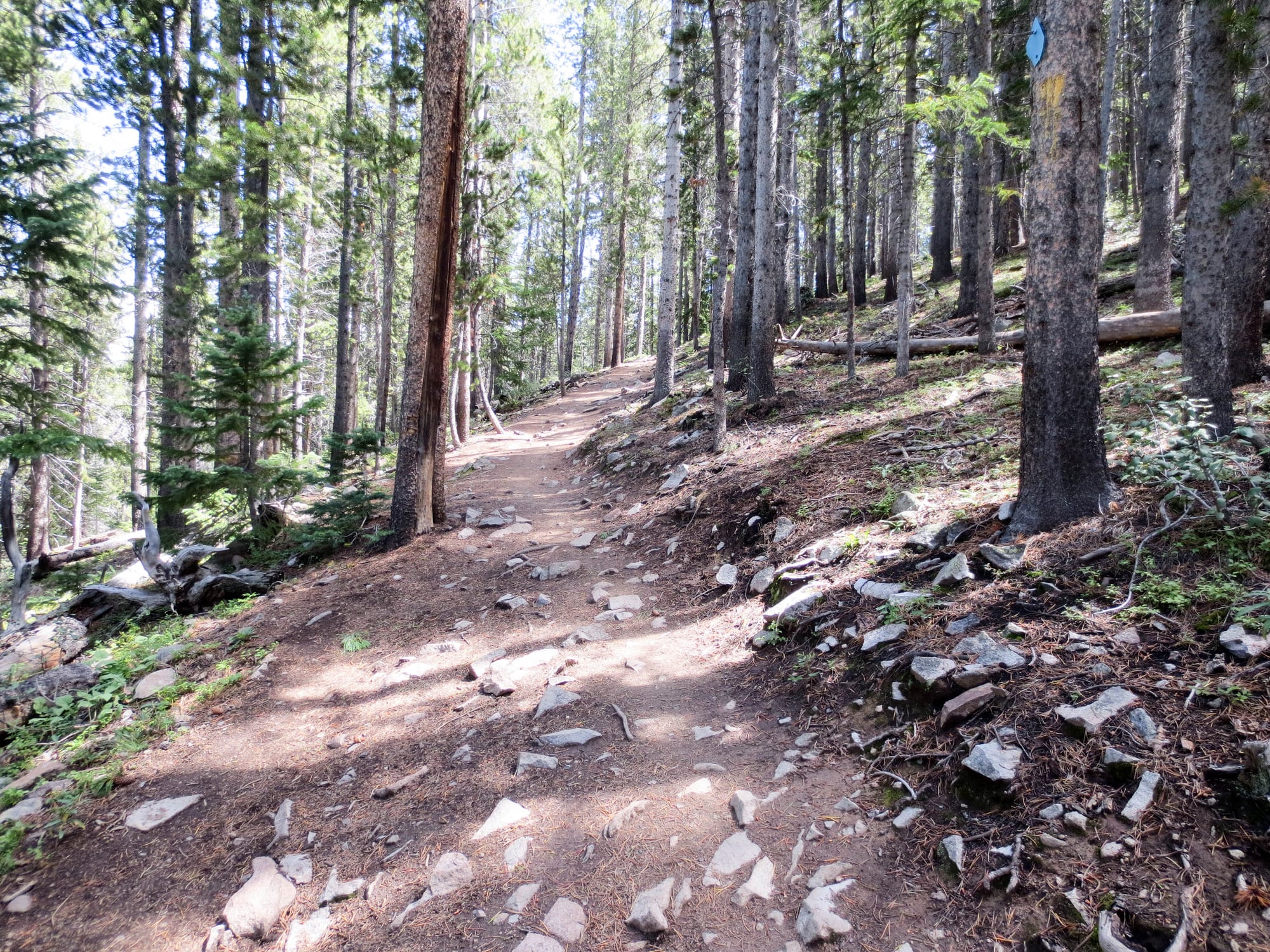
From beginner to expert routes, hit the trails and discover the beauty of the Tenmile mountain range with these top hikes in Breckenridge. These are the perfect ways to spend a summer day in Summit County. In the winter, these trails are covered in snow, probably from November on.
Here are the top hiking trails in Breckenridge, CO, listed by easy, moderate, and expert:
EASY – Spruce Creek Trail
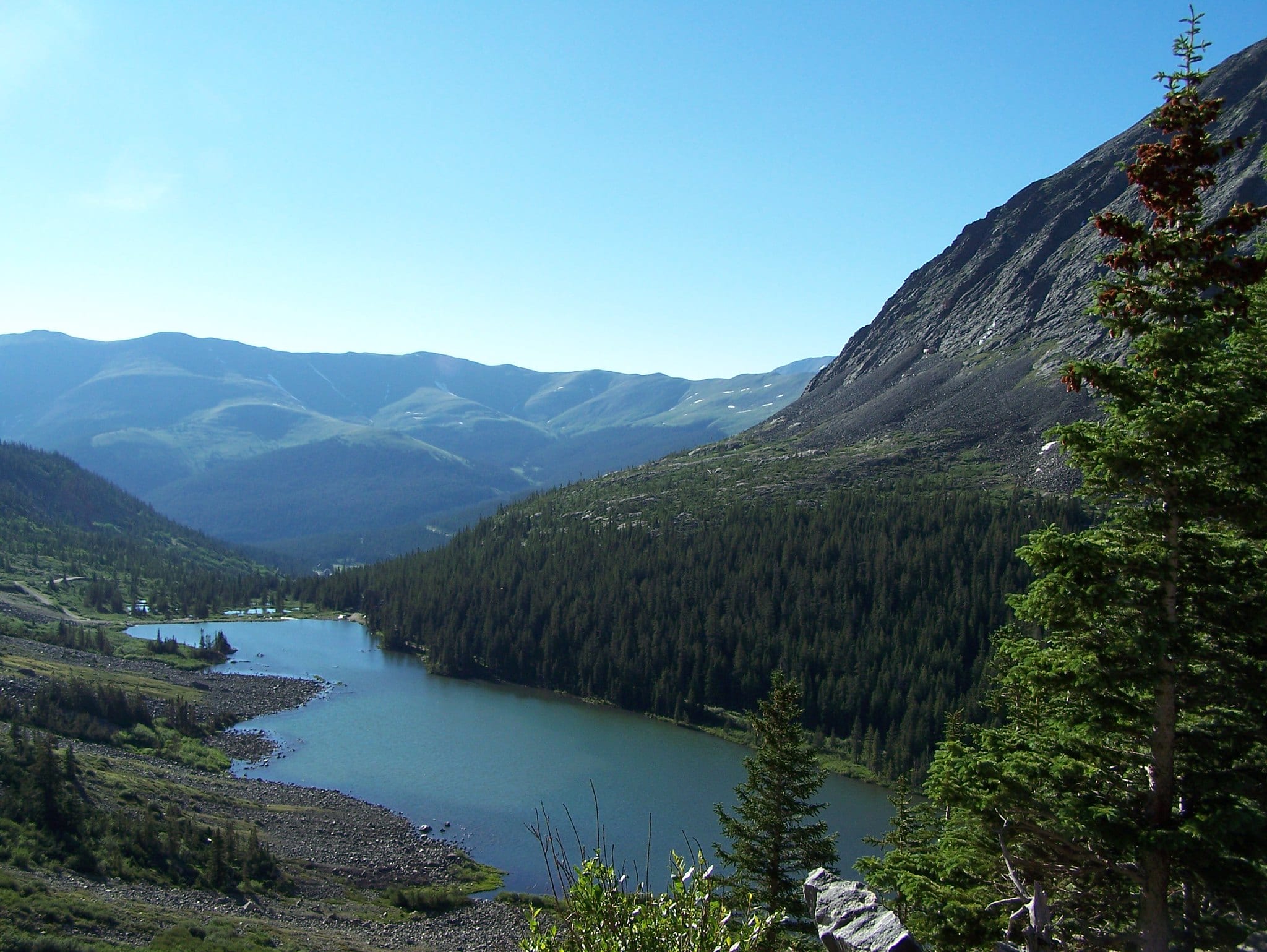
The Spruce Creek Trail is a highly trafficked loop that makes the perfect day hike for the entire family. The trail meanders through forests and features a lake plus mountain views. Not just for the summer, the Spruce Creek Trail is also well-used in the winter for snowshoeing and cross-country skiing.
To get there, drive south on U.S. 9 and right onto Spruce Creek Road. The trailhead is found just over one mile down the road.
- Distance: 4.3 miles
- Elevation Gain: 984 feet
- Route type: loop
EASY – Sawmill Trail
Sawmill Trail is a short hike that is great for beginners, for those not used to the higher elevation. This is a great summer hike as it is shaded most of the way, with a refreshing reservoir awaiting at the end of the hike. At the reservoir, take in the surrounding mountain views with dense forest to complement. The reservoir is the perfect place to enjoy a picnic lunch and soak up the beautiful mountain scenery before heading back.
Access to the trail is found at the Snowflake chair lift, at Four O’Clock Road, and at Kings Crown Road.
- Distance: 1.5 miles
- Elevation Gain: 236 feet
- Route type: loop
EASY – Burro Trail
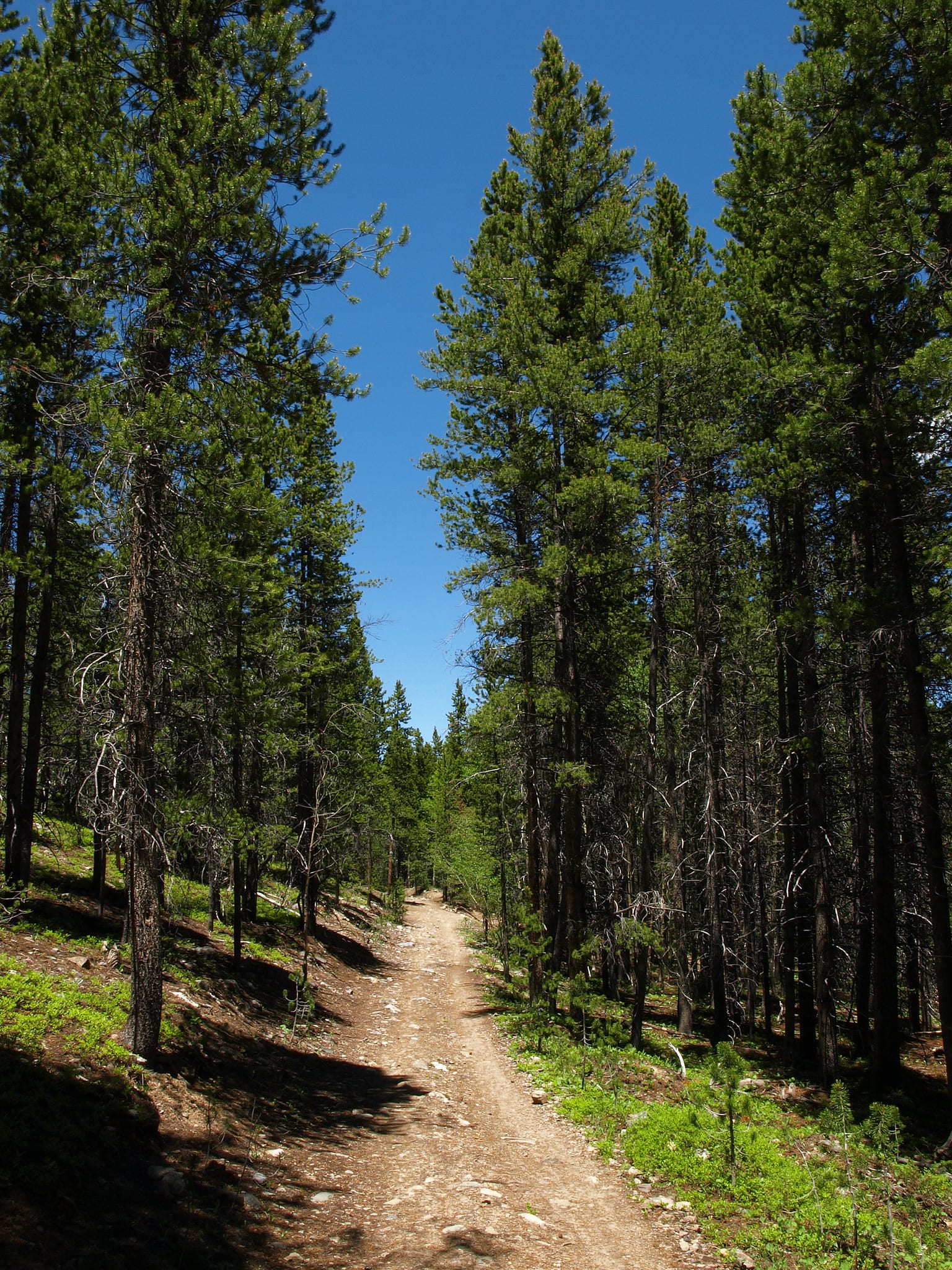
For a gentle climb and a well-marked trail, accessed right from downtown Breckenridge, try the Burro Trail. The trail wanders through a pine forest alongside a mountain creek for a calm and serene hike. Hike as far as you’d like, but the trail ends at Spruce Creek Road.
To access the trailhead, head to the bottom of Peak 9 off Village Road, near the Quicksilver chairlift.
- Distance: 6.1 miles
- Elevation Gain: 918 feet
- Route type: Out and back
EASY – Hoosier Pass Loop
For an easy-to-moderate hike that provides outstanding alpine views, check out the Hoosier Pass Loop. The hike begins at the top of Hoosier Pass, at 11,542 feet, and sits along the Continental Divide. The trail offers wildflowers, scenic views, and views of Quandary Peak.
Getting there, head south on U.S. 9 to the top of Hoosier Pass. Parking is available near the Continental Divide sign.
- Distance: 2.8 miles
- Elevation Gain: 688 feet
- Route type: loop
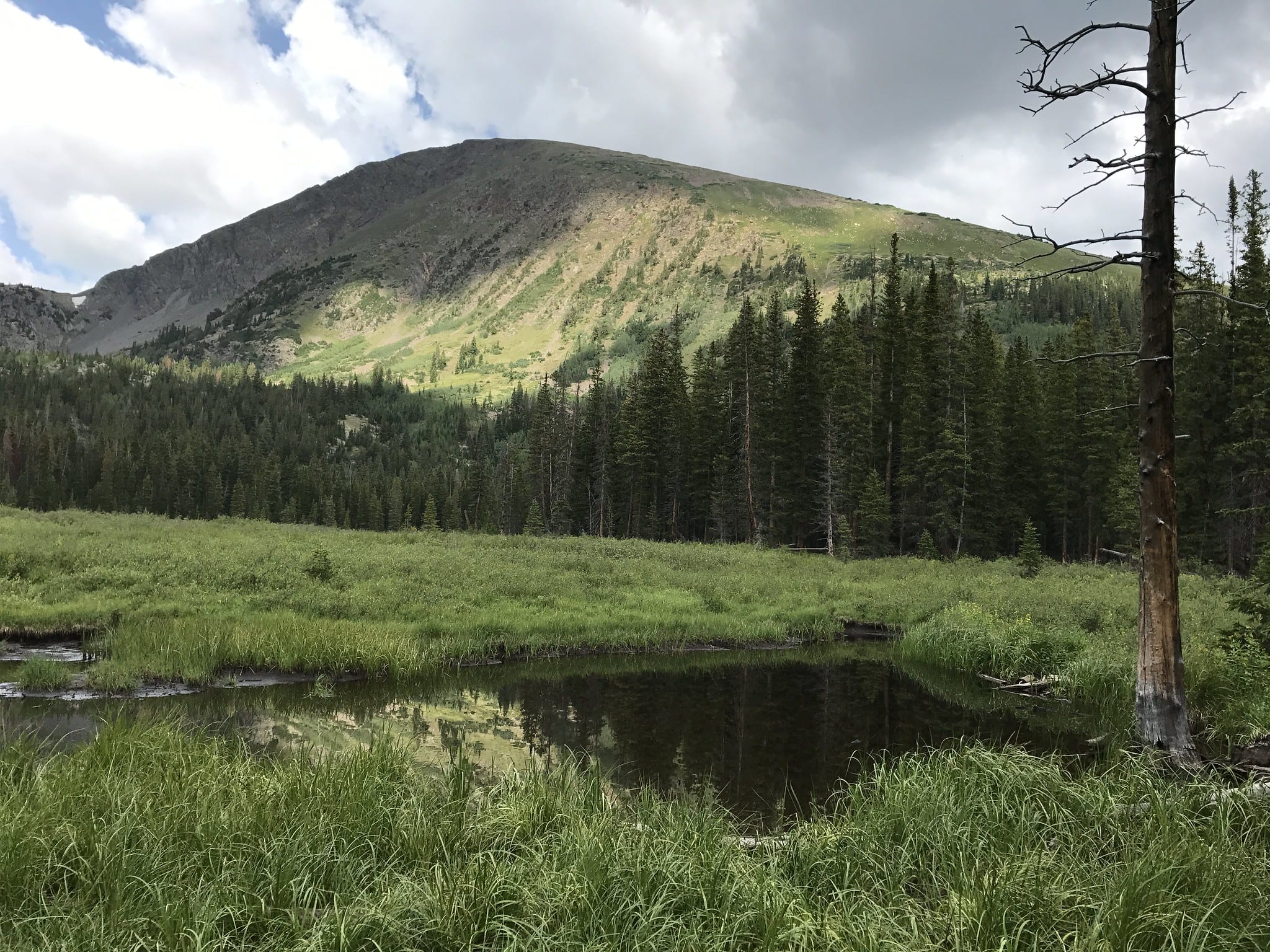
MODERATE – McCullough Gulch
A great outing for the entire family to enjoy, the McCullough Gulch trail leads hikers to opulent evergreen forests, waterfalls, colorful wildflowers, granite rock formations, and green meadows. The entire trail follows a flowing stream up to a high alpine lake, where hikers are rewarded with views of McCullough Gulch Falls.
Access the trailhead from McCullough Gulch Road (C.R. 851) and pass the Quandary Peak trailhead for several miles.
- Distance: 6.2 miles
- Elevation Gain: 1,578 feet
- Route type: Out and back
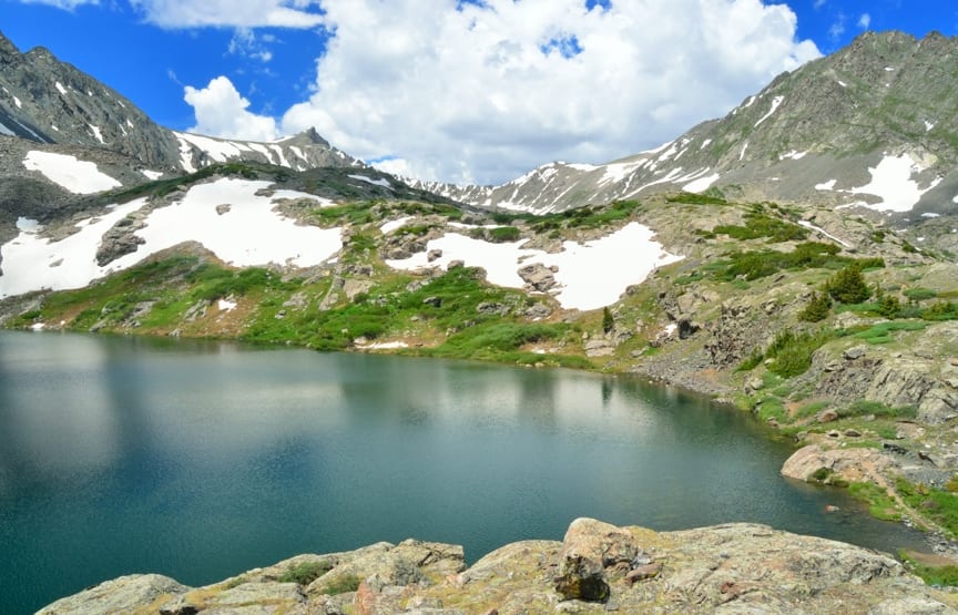
MODERATE – Blue Lakes – Monte Cristo Gulch
For a short and sweet hike with rewarding views, check out the Blue Lake – Monte Cristo Gulch trail. The trail stays above the treeline the entire way, beginning at an elevation of 11,748 feet. Enjoy waterfalls, wildlife, and wildflowers along the way. The hike ends at several alpine lakes and a historic area filled with old mining ruins.
Parking for this trailhead is located just below a dam, several miles off Blue Lakes Road (C.R. 850).
- Distance: 2.8 miles
- Elevation Gain: 1,131 feet
- Route type: Out and back
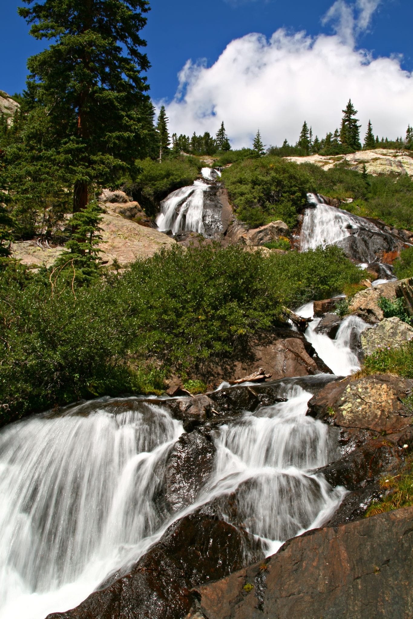
MODERATE – Mohawk Lakes
One of the most popular hikes near Breckenridge is Mohawk Lakes. Encounter pristine alpine meadows and lakes, plus cascading waterfalls and historic mining sites. Begin at the Spruce Creek Trailhead as you make the ascent through a dense forest of lodgepole pine and aspen.
Along the way, hikers will come across Continental Falls and Mayflower Lake. Upon reaching Mohawk Lakes, the historic mining ruins can be seen. In addition to hiking, the area is also used for camping and fishing.
Getting there, head south on U.S. 9 to Spruce Creek Road. The trailhead is found just over a mile up the road.
- Distance: 8.6 miles
- Elevation Gain: 2,100 feet
- Route type: Out and back
- Black Powder Pass Summit
MODERATE – Black Powder Pass Summit
Get above the trees and into the clouds with a hike to the Black Powder Pass Summit. Take in stunning views of the Mosquito Mountain Range as you hike to the saddle of Boreas Mountain and Baldy Mountain. Reaching its highest point at 12,159 feet, from here, hikers will be able to see views of Summit and Park counties, plus colorful wildflowers in the summer. The road leading up to the trailhead is closed in the winter, so check before you go.
To access the trail, start at the section house at Boreas Station at the top of the pass.
- Distance: 3.4 miles
- Elevation Gain: 1,000 feet
- Route type: Out and back
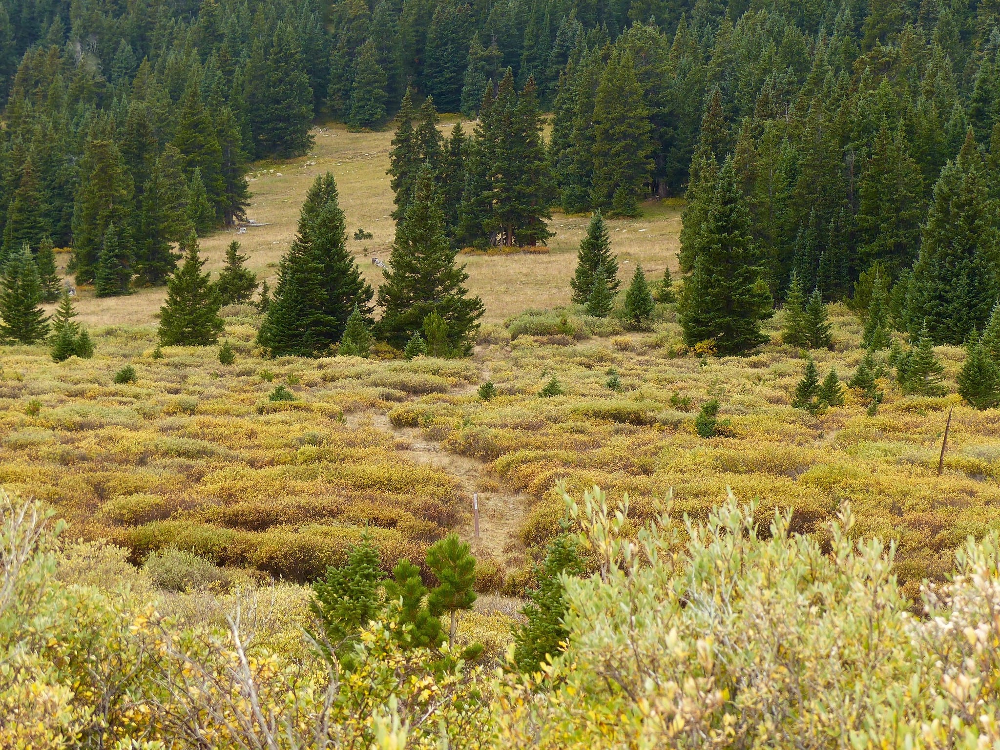
MODERATE – Baker’s Tank
Baker’s Tank is a good, solid hike that is great for exercise and is accessible year-round for both summer and winter adventures. The historic water tank was used in the late 1800s by steam locomotives making their way across the pass. This hike is particularly enjoyable during the fall with the golden hues of autumn on display.
The trail begins at the Boreas Pass parking lot, where you begin a slow and steady hike up to Baker’s Tank along Boreas Pass.
- Distance: 5.1 miles
- Elevation Gain: 882 feet
- Route type: Out and back
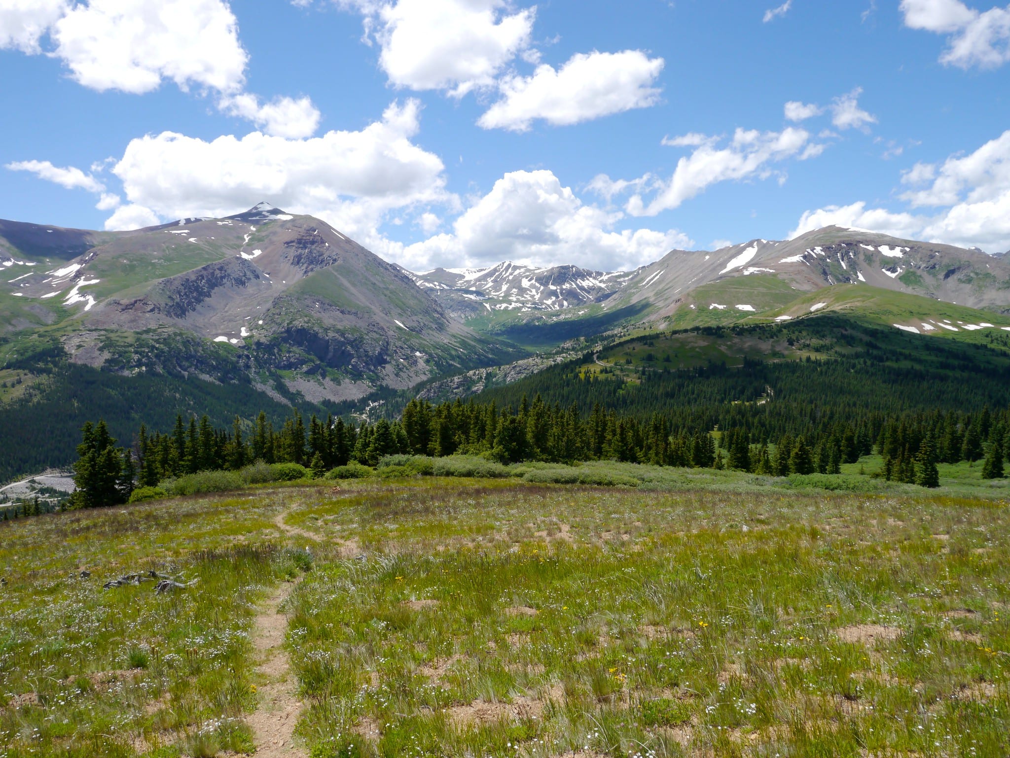
DIFFICULT – Quandary Peak
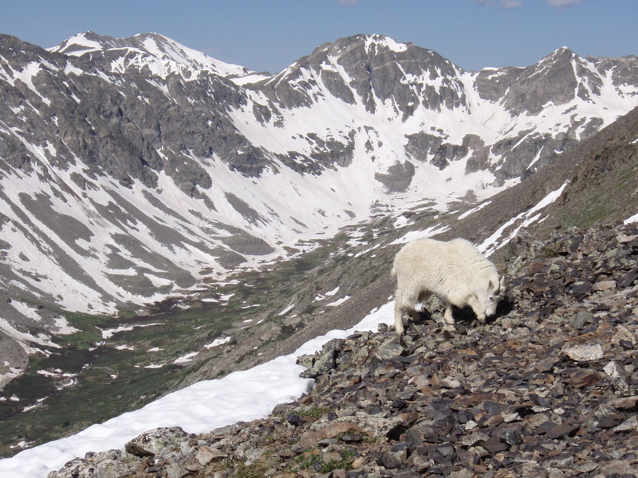
As the only 14er in the Tenmile mountain range, Quandary Peak is a popular trail for those visiting the area. Upon reaching the summit, hikers will be greeted with views of the Tenmile Range, the Continental Divide, and endless alpine tundra. Keep your eyes peeled for a chance to see the mountain goats that frequent the summit. The east ridge route is the “easiest” route, making it the most popular.
To access the trailhead, head down Blue Lakes Road from U.S. 9. Turn right onto C.R. 851, and the trailhead is 0.1 miles down the road.
- Distance: 6.7 miles
- Elevation Gain: 3,339
- Route type: Out and back
DIFFICULT – Wheeler Pass Trail
Perfect for an overnight backpacking trip, the Wheeler Pass Trail is one of the top hikes near Breckenridge. Encounter several alpine lakes and mountain views from all directions as you travel across the Tenmile mountain range on the Wheeler trail. Hikers will find wildflowers along the trail during the summer. The trail is best used from March through October.
The best access points are at the Vail Pass/Tenmile Canyon Bikeway parking lot or the trailhead off C.R. 851. If you don’t want to backpack, park a car at each access point for a nice, long day trip.
- Distance: 13.4 miles
- Elevation Gain: 4,734 feet
- Route type: Out and back
DIFFICULT – Peak 8 Summit
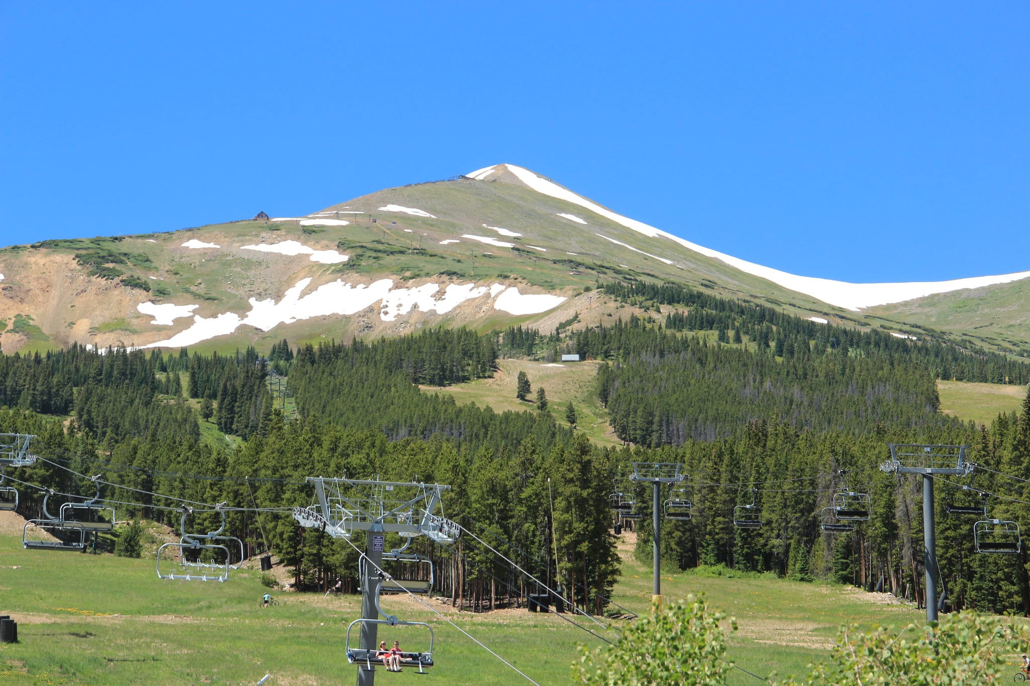
Challenge yourself with a hike up to the Peak 8 Summit, the highest point of the Breckenridge ski resort. Hike from the valley floor to the ridgetop, this trail begins in town and travels through beautiful terrain to the summit at 12,840 feet. From the summit, take in views of the Tenmile Range, Gore Range, Front Range, Gore Range, and Elk Range, as well as the town of Breckenridge and Dillon Reservoir.
Or take the easier route for a quick hike with rewarding views by taking the Gondola from town to the Peak 8 Base Area. Take the Super Chair lift and begin at the waypoint. From here, it is a short, steep hike to the summit.
- Distance: 11.4 miles
- Elevation Gain: 5,813 feet
- Route type: Out and back
That’s a roundup of the best hiking trails in Breckenridge. Have a fun day trekking through the mountains!
 How to Get From Denver to Colorado Springs and Vice-Versa