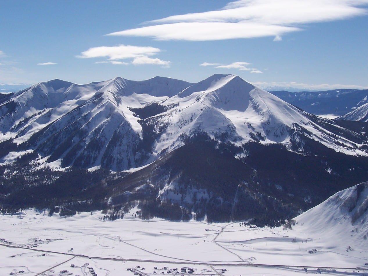
Better known as an “adventure” mountain resort, Crested Butte also offers dozens of hikes ideal for summertime excursions. Scenic trails abound throughout the Elk Mountain range.
Located in west-central Colorado (about 5 hours by car from Denver), the erstwhile coal mining town on the northern edge of Gunnison Valley was a source for both bituminous (lignite) and anthracite coal—a geologic rarity. As many as 15 silver mining camps were once found across the top of the valley.
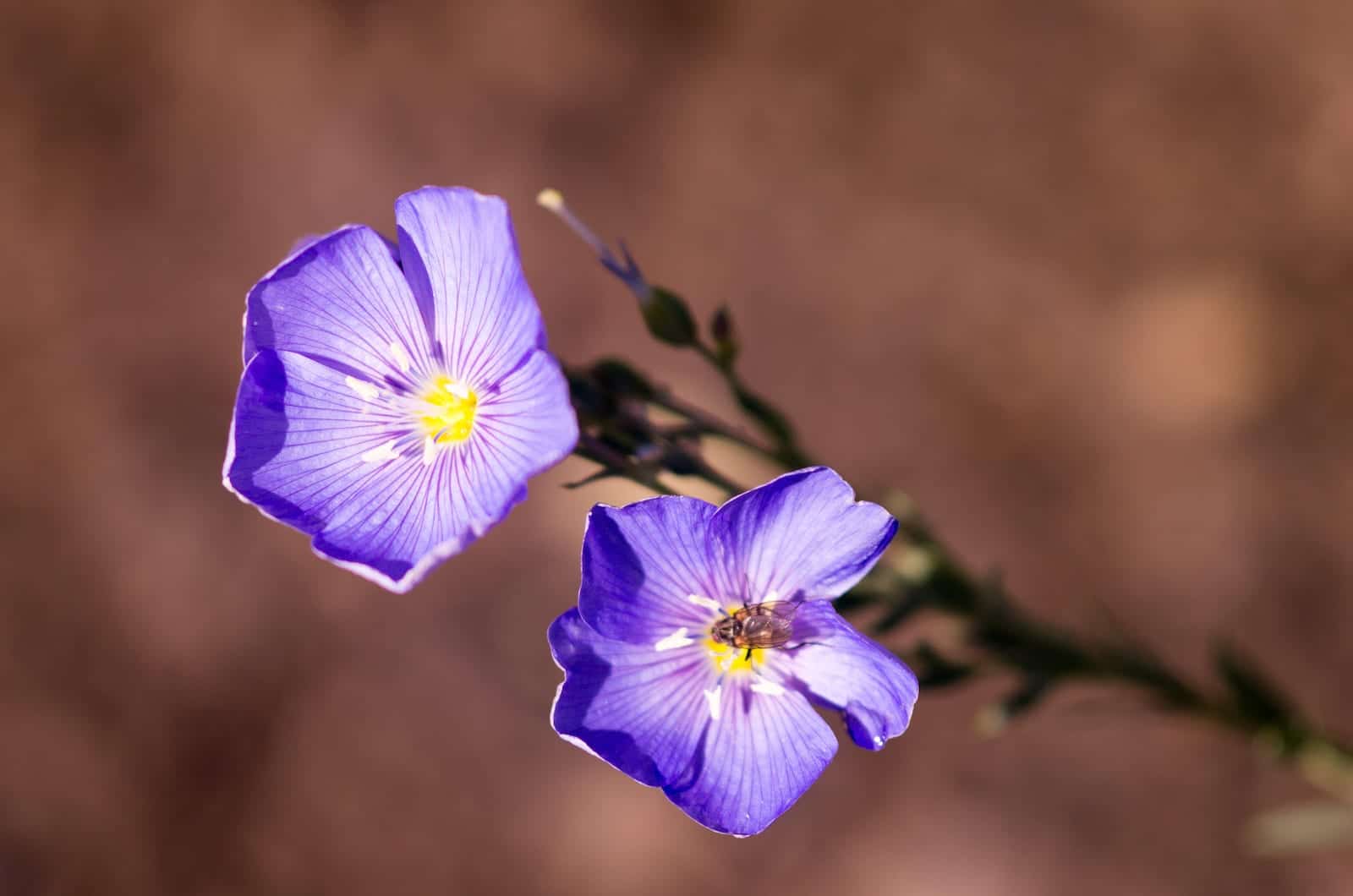
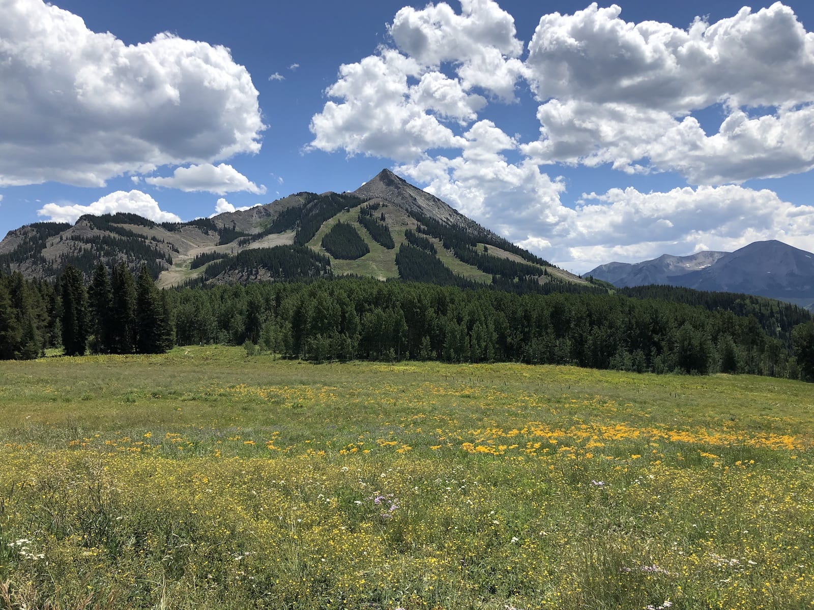
Many hikers regard the kaleidoscopic display of summer wildflowers rippling across the alpine meadows atop the Gunnison Basin as some of the most colorful in Colorado. Hikes near Crested Butte vary from easy to moderate.
The National Register of Historic Places listed much of Crested Butte in 1974, facilitating restoration and preservation of the community’s “poor-Western” Victorian-age structures. These include the post office, the Denver & Rio Grande railroad depot, the Elk Mountain Lodge, the Croatian Hall, the Masonic Building (K of P), the Forest Queen Hotel, and many other notable landmarks.
Crested Butte radiates a relaxed, small-town ambiance sure to enchant young and old alike. Shopping, dining, and lodging can be found on or near Elk Avenue, the town’s main east-west thoroughfare.
Here are some of the top day hiking trails in Crested Butte, CO, in no particular order:
1. East River Trail – Brush Creek Trailhead
Featuring a waterfall and an elevation gain of 374 feet, this outing is suggested as a “starter” hike for flatlanders as they adjust to the area’s higher altitudes. The best time to experience the East River Trail is usually during July when its flowers are at the peak of bloom. Crested Butte is known as the “Wildflower Capital of Colorado”; the pageantry of the trail testifies to the slogan’s veracity.
- Location: 5 miles south and east of Crested Butte
- Distance: 4.8 miles
- Difficulty: easy
- Trail Type: out-and-back
- Dogs: on a leash
Getting There: To reach the trailhead from Crested Butte, drive two miles south on State Highway 135, then turn left (northeast) on County Road 738. Continue approximately 1.9 miles to the road’s end where the trail starts. Park on the north side of the road. From the trailhead, the hike travels north up the East River Valley and provides panoramic views of the river and White Rock Mountain throughout the year.
While most hikers come to view the wonderful alpine flowers, especially in July during the CB Wildflower Festival, fly fishers can try their luck catching brown and rainbow trout on East River and Brush Creek. Many visitors highly recommend the use of insect repellent to ward off midges, mayflies, and stoneflies indigenous to the locale.
2. Green Lake Trail
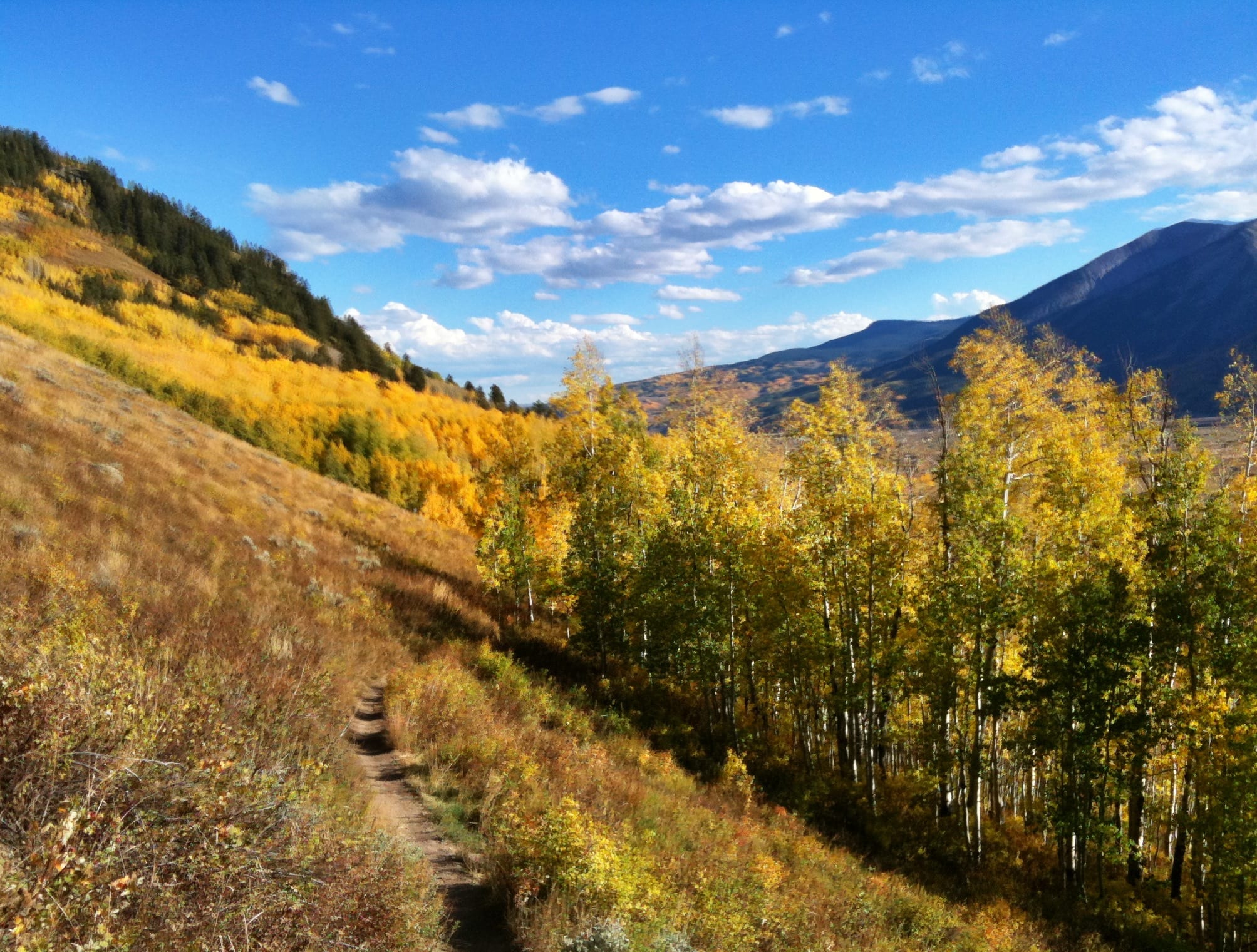
Characterized as “moderately trafficked” (no doubt due to its proximity to town), hikers, mountain bikers, and trail runners all utilize this trail. With an elevation gain of 1,719 feet with some steep climbs, it can be a strenuous excursion for those not in the best of condition.
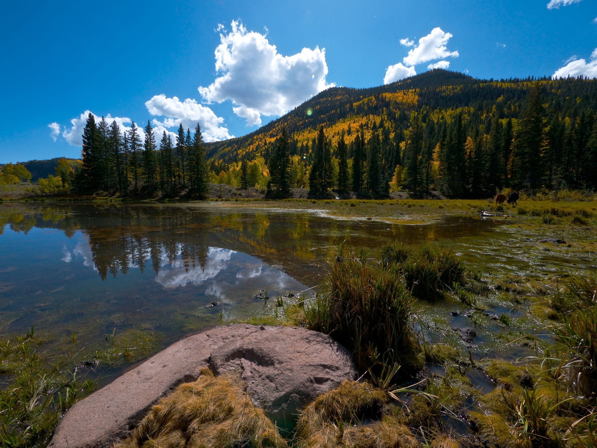
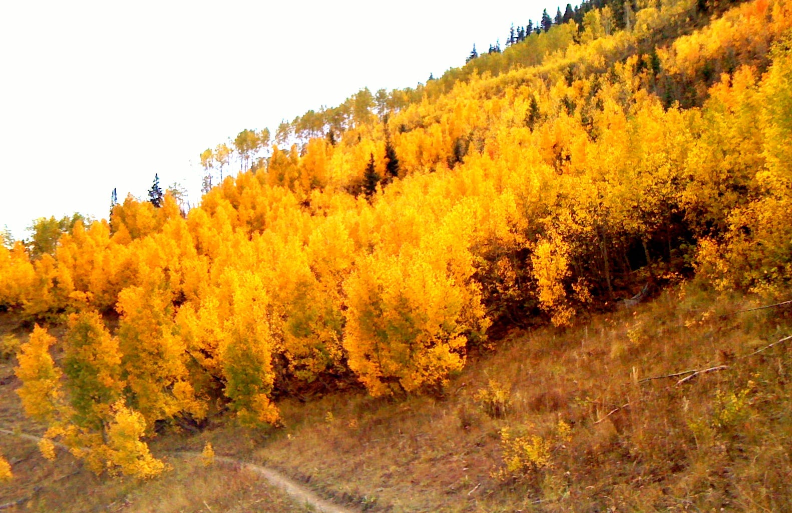
The trail is easy to follow and offers hikers both open meadows (and wildflowers in summer) as well as aspen groves (spectacular in fall when their foliage changes color). Those who reach the end of the trail are rewarded with scenic views of the gorgeous Green Lake. The clarity of the lake’s cold waters affords glimpses of trout; fishing the lake is a popular pastime.
- Location: Trailhead just outside of Crested Butte
- Distance: ±9 miles (officially 7.3 miles)
- Difficulty: moderate
- Trail Type: out-and-back
- Dogs: on a leash
Getting There: While the trail is officially 7.3 miles, this distance does not account for the mileage between the trailhead and where most hikers park their vehicles. Cars parked at the trailhead on Journey’s End Rd. are subject to tow. Park at the Crested Butte Nordic Center at 620 2nd St. and walk southeast 0.2 miles from the Center to Journey’s End Rd. Turn right (west) and continue another half mile or so to reach the trailhead on the south side of the road.
Be sure to bring insect repellent; many visitors report a prevalence of mosquitoes, both on the trail and at the lake. Primitive camping sites can be found above the lake where one will have stunning views of Mt. Crested Butte. When hiking on the trail, keep alert for mountain bikers.
3. Baxter Gulch Trail
This trail used by hikers, mountain bikers, and trail runners rises 2,089 feet midway before falling back to roughly the elevation at the trailhead. Travel is recommended between May through October. The trail closes for winter due to the threat of avalanches.
Note that while it traverses privately owned property, easements allow for pedestrian access. Reports vary about the trail’s usage; one claims it to be “lightly trafficked” while another says it’s “one of the area’s most popular… experiences.” As on other nearby trails, expanses of wildflowers in early summer emblazon the terrain.
- Location: 2.1 miles southeast of Crested Butte
- Distance: 10.4 miles
- Difficulty: moderate
- Trail Type: out-and-back
- Dogs: on a leash
Getting There: To reach the Baxter Gulch trailhead from Crested Butte, take State Highway 135 south as if driving to East River Trail. Pass Journey’s End Rd. (the road on which Green Lake Trail is located) and turn right on Smith Rd. If you cross the Slate River, turn around, go back toward Crested Butte, and turn left on the first road (Smith Rd.) leading off the highway. The trailhead is located next to Crested Butte’s Gunnison County Shop.
This trail is one of the area’s newest ingresses into the backcountry around Crested Butte, opening in 2018, and connects with both the Carbon and the Green Lake Trails. Again, watch for mountain bikers and bring plenty of insect repellent. You may need it to combat mosquitoes as you cross the bridge over the gulch before entering the woods.
4. Crested Butte Upper and Lower Loop
Optimally trekked between April through October, this moderately traveled loop trail provides scenic mountain vistas and bountiful bird watching. The terrain’s elevation gain of 337 feet starts in earnest about midway along the hike. As with many of the area’s other trails, hikers are likely to encounter mountain bikers while traversing this path.
Where the lower loop transitions to the upper loop (about midway through the hike), hikers can opt to extend their journey for 0.6 miles by taking the GB Loop. This extension joins Gunsight Pass Rd. before the road dead-ends into the upper loop, which leads back to the trailhead.
- Location: Just outside the northwestern side of Crested Butte
- Distance: 6.4 miles
- Difficulty: Lower Loop—easy; Upper Loop—moderate
- Trail Type: loop
- Dogs: on a leash
Getting There: To reach the trailhead, turn right (north) on 1st St. from Elk Ave. Where 1st St. “T-bones” into Butte Ave., turn left (west). Upon leaving the city limits, Butte Ave. becomes County Rd 4, a dirt course also known as Peanut Lake Rd. Trailhead parking is on the right about 100 yards or so outside of town. Parking here is encouraged; those requiring wheelchair access may park 1.2 miles down the road. Signage designates parking areas.
While the trail is reputed to be poorly marked in places, hikers can expect to see aspens, summer wildflowers (particularly columbines and asters) in meadows, and a striking reflection of Gothic Mountain in the placid waters of Peanut Lake.
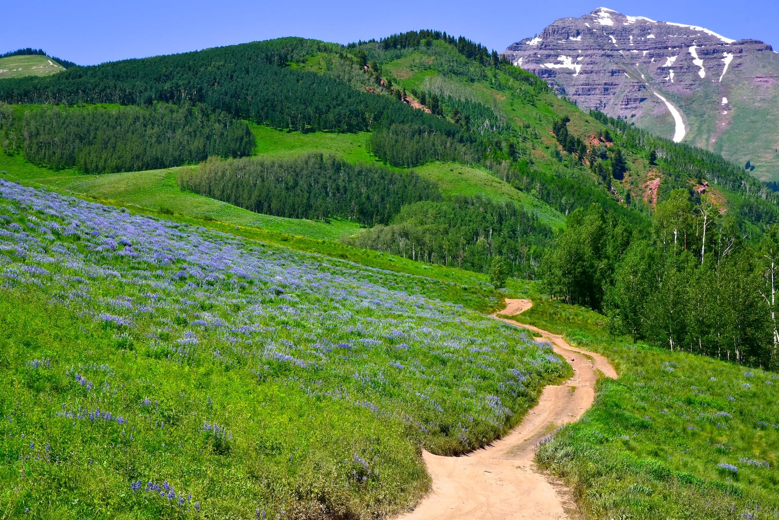
5. Lupine, Gunsight Connection and Lower Loop Trail
A moderately traveled route that begins inside the heart of Crested Butte, it crosses Slate River and loops north between the town and the ski resort. The trail elevates 1,377 feet at about halfway along the trail and maxes out at an 18% grade.
- Location: starts within Crested Butte
- Distance: 13.2 miles
- Difficulty: hard
- Trail Type: loop/out-and-back
- Dogs: on a leash
Getting There: Start at the Chamber of Commerce and Visitor Center; ample parking abounds. Walk east along Elk Ave. to the edge of town until the pavement changes to dirt; turn left (north) on Foxtrot Trail where the hike begins. Note that the lower portion of the route is also known as Mt. Crested Butte Recreational Trail.
After approximately 2.5 miles, the trail then travels west and crosses Gothic Rd (which leads to Gothic Ghost Town). After this point, the trail runs parallel to Saddle Ridge Ranch Rd. Once this road ends, the hiker embarks upon the Lupine part of the trail. At about the 4.7-mile point, the trail joins up with Smith Hill Rd. The trail diverges from this road about two miles later. At around the 9-mile mark, the trail intersects the Lower Loop trail mentioned above.
Be on the lookout for mountain bikers while soaking in the beauty of the aspen groves and lupine wildflowers.
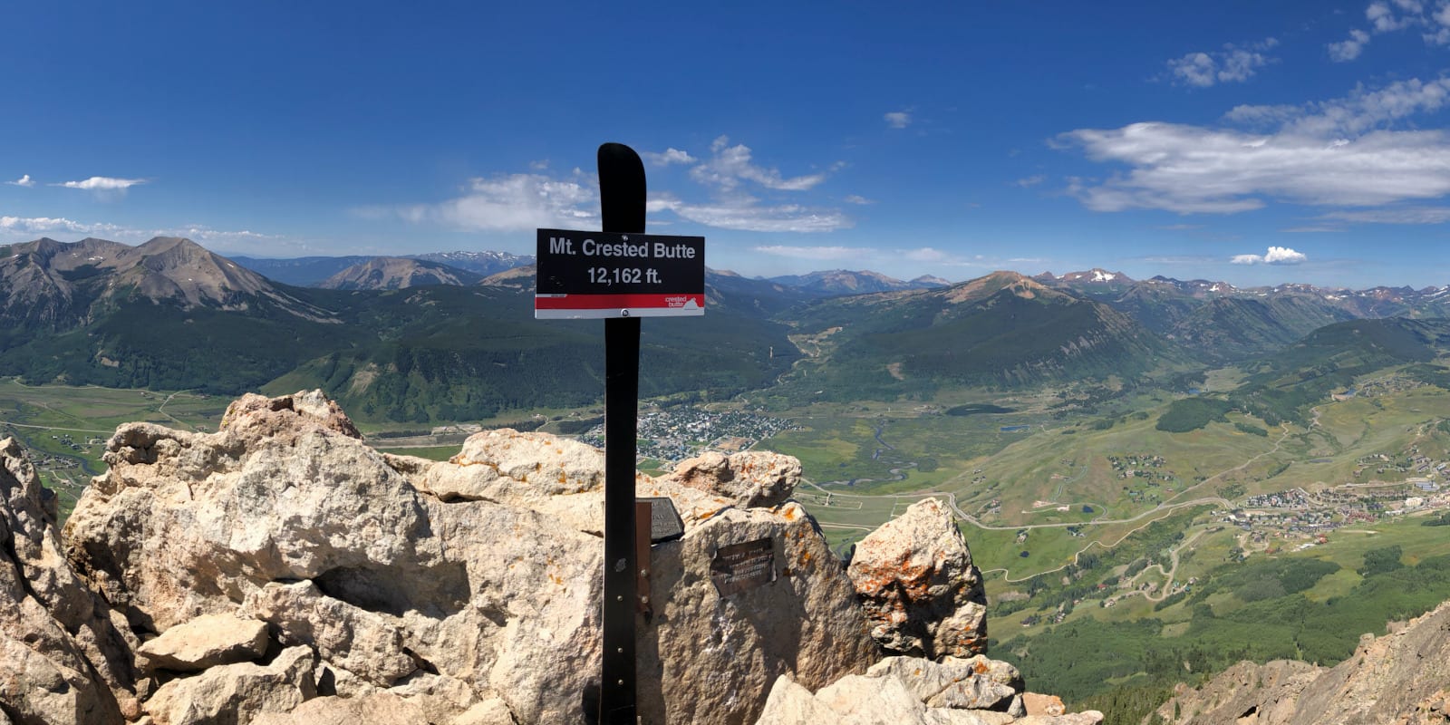
6. Upper Westside to Crested Butte
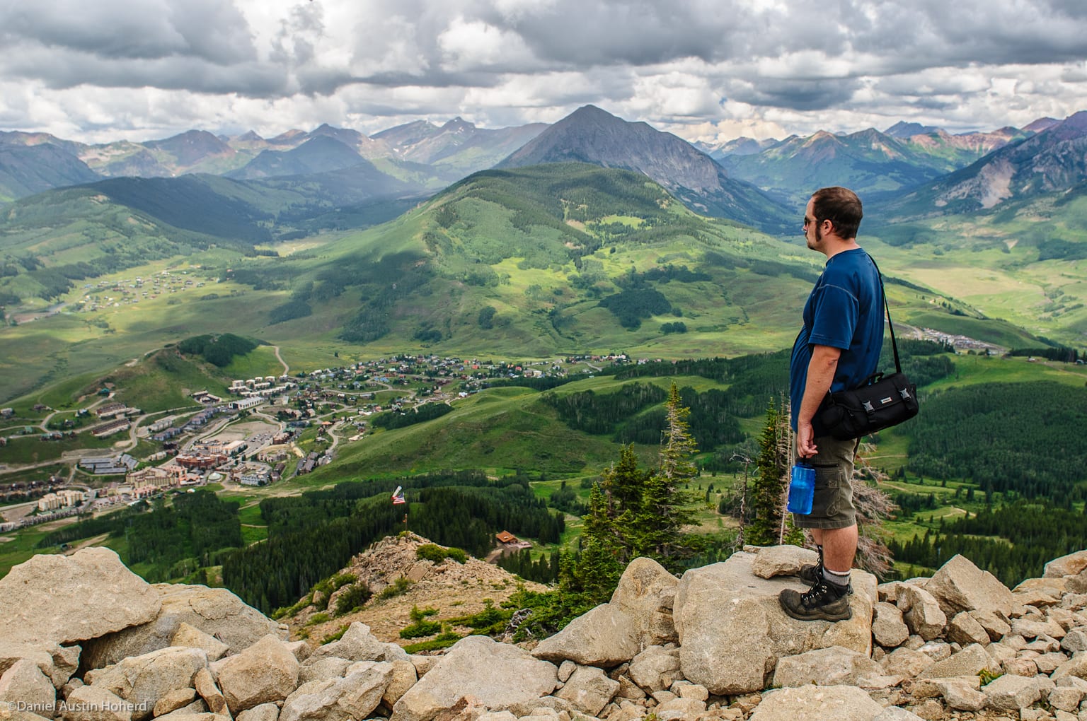
This trail is for those wishing to hike to the summit of Crested Butte. It’s a warm-weather trek, best taken between March and October before snow and skiers inundate the mountain. Remember, the hike is rated as “hard” with an elevation gain of 2,775 feet and grades of 25% or more—until one nears the summit when grades exceed 50%.
- Location: Crested Butte Ski Resort
- Distance: 10.6 miles
- Difficulty: hard
- Trail Type: out-and-back
- Dogs: on a leash
Getting There: Free long-term parking near the trailhead is found at the intersection of Treasury and Gothic Roads. Or, hikers can opt to take the free shuttle from the town of Crested Butte to the resort’s Transit Center located at the end of Emmons Rd. From the parking lot, follow Treasury Rd., turn right at Emmons Rd. (which turns into Crested Butte Way) and continue to the base of the ski resort where the lifts and the trailhead are located.
Once on the trail, hikers can expect clear and captivating views of the summit. Be prepared to scramble over boulders when nearing the mountain’s apex. As footing can be precarious, exercise caution. Note that hikers must follow a cat road to reach the top. If desired, hikers can return to the ski resort’s base (after approximately 3.2 miles) instead of continuing to the summit. This option shortens the trail’s length to approximately 4.7 miles.
Be aware that portions of this trail can be closed early in the season due to weather, melting snow, or mud. Wildflowers are best viewed on this trail during July.
7. Whetstone Vista Loop
A relatively short jaunt popular with nearby locals, the last third of the hike follows Brush Creek Road back to the trailhead. It connects with the Upper Upper Trail after 0.8 miles. Both continue for 1.1 miles before joining the county road.
- Location: 3 miles south and east of Crested Butte
- Distance: 2.7 miles
- Difficulty: moderate
- Trail Type: loop
- Dogs: on a leash
Getting There: This trailhead, located on Whetstone Vista Dr. (effectively a driveway to a luxury home), is just north of Brush Creek Rd (CR 738) between the town of Crested Butte and the East River Trail. It’s across from a private airstrip and approximately a mile from the SH 135 intersection.
Traveling north from the trailhead, the elevation rises 518 feet until peaking at about 1.4 miles into the walk. Grades range as steep as 30%. Woods (and shade on sunny days!) including aspen groves predominate the middle portion of the hike. At the apex, hikers can view Whetstone Mountain and overlook the valley below.
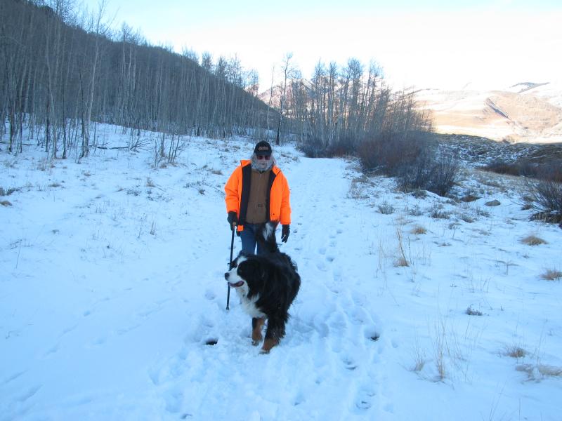
As with the East River Trail, wildflowers can be seen in season over much of the route. In winter, the trail is popular with snowshoers.
With at least 96 trails available for hiking in the Gunnison National Forest, visitors can avail themselves of breathtaking vistas and gratifying treks across the Colorado backcountry. And, as we’ve shown, many are just outside of Crested Butte. If you have the opportunity to walk some of the trails listed here, you’ll enjoy some of the most astounding scenery Colorado has to offer. Have fun and remember to take out what you carry in.
 5 Scenic Photo Spots in Colorado