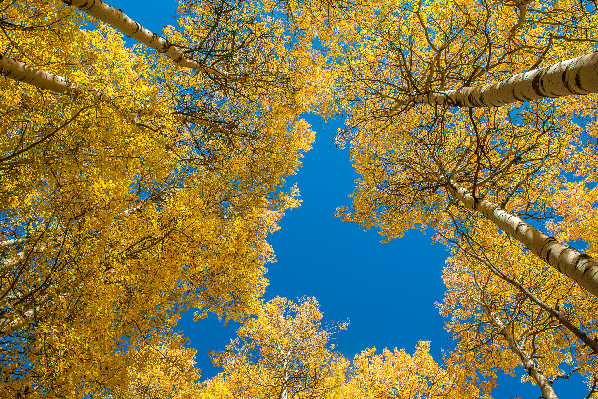
While Vail is certainly known for its winter sports and deep powder, it is also just as impressive in the fall. With the staggering peaks covered in yellowing aspens that cradle the valley floor, it is one spectacular scene.
One of the best ways to experience Vail in the fall is by hiking one of the many trails in the area. Here are our top fall hikes in Vail.
Upper Piney River Falls
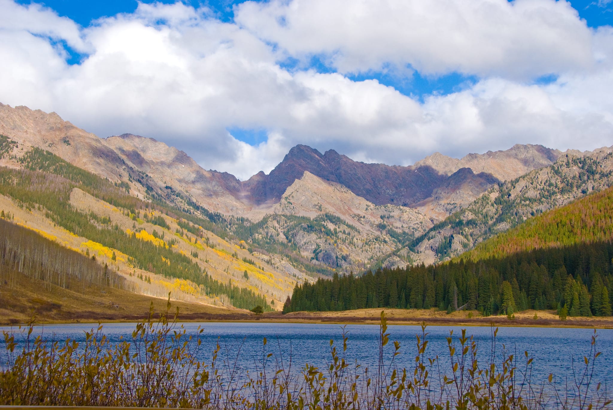
The Upper Piney River Falls hike is one of the most popular trails in the Vail Valley. The route begins at Piney River Ranch where you will find a designated dirt parking lot before entering the ranch. Be immediately greeted by a colorful aspen forest as you start the trail.
Continuing, you will quickly come to an opening where views of Piney Lake and the towering peaks of the Gore Range stand in the background. The trail also provides scenic waterfall views and thick aspen groves as you move up the trail. The dirt road leading to the trailhead is fairly rough and is best handled in a high-clearance vehicle.
- Distance: 6 miles
- Elevation gain: 731 feet
- Type: Out and back
Lost Lake Trail
As the easiest trail in the Vail Valley, the Lost Lake Trail keeps its elevation gain under 1,000 but over-delivers with its swaths of golden aspens. There are two options on where to start, the eastern trailhead from Forest Service Road #786 and the western trailhead from Forest Service Road #700.
The eastern trailhead brings you to about half a mile from the lake, for not much of a hike. The western trailhead is where you will enjoy the winding trail through pine and aspen groves. Enjoy mountain views of Beaver Creek, Vail Mountain, and Mt. Holy Cross along with the Gore Range at almost every turn.
- Distance: 7 miles
- Elevation gain: 941 feet
- Type: Out and back
Berrypicker
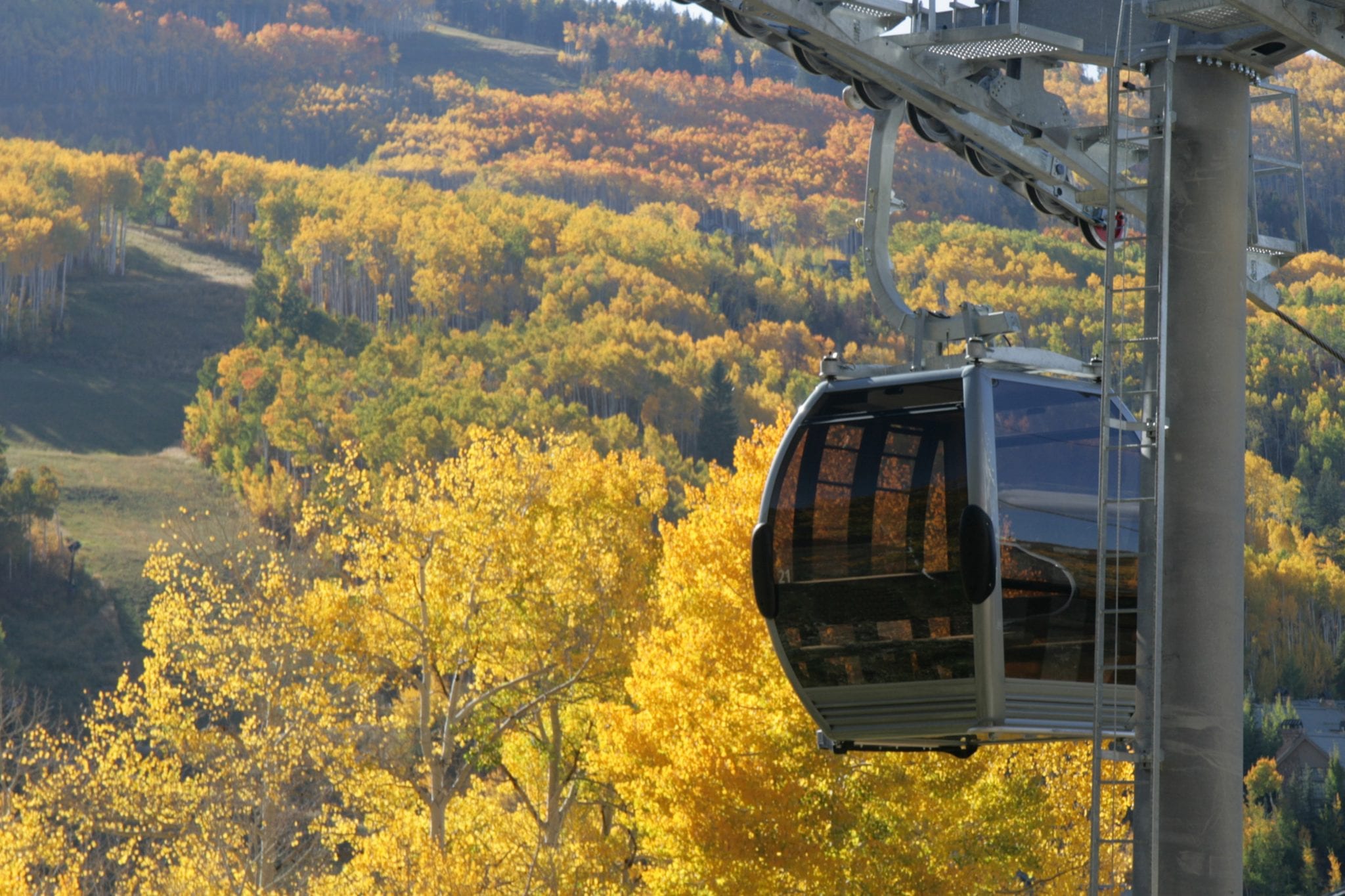
Rated as difficult, the Berrypicker trail is well worth the heart-pounding climb to the top of Vail Mountain. Drastically winding through meadows of wildflowers (not much in the fall), pine forests, and aspen groves it is easy to see why this is one of the most popular fall hikes in Vail. The hike begins at the base of Vail Mountain in Lionshead Village.
If you don’t want to do the entire six miles, many visitors hike to the top of Eagle’s Nest and then take the gondola back down, enjoying the fall foliage view from above. Or if you don’t like hiking up, then take the gondola up and hike back down.
- Distance: 6.1 miles
- Elevation gain: 2,224 feet
- Type: Out and back
North Vail Trail
The North Trail in North Vail provides 12 miles of trails for hiking and biking, complemented by shades of aspen groves along the way. The entire North Trail system is a favorite for outdoor enthusiasts because of its accessibility and the stunning scenery it offers. Choose your adventure and hike or bike the entire length or choose to do a section of the trail.
A nice short hike is the 2.5-mile, out and back, to North Trail lookout point. For this, you will want to start at Buffehr Creek Road trailhead and embark on a relatively short but challenging climb to the top of a flat clearing. Here, hikers enjoy panoramic views with Vail Village in the distance. From end to end the trail runs from Davos Road area to Spraddle Creek area.
- Distance: 12 miles
- Elevation gain: varies, depending on the route
- Type: Out and back
Booth Creek Falls
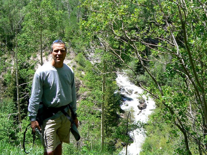
Found off the East Vail exit 180 on I-70, Booth Falls trail guides hikers along a moderate trail that leads up to a moderately-sized waterfall. Although this trail is rated as moderate, it does require a strenuous climb the first few miles along Booth Creek. But you won’t mind the challenge with the beautiful aspen groves that surround you, as this hike is a true treat in the fall.
In addition to the colorful aspens, hikers will enjoy beautiful views of East Vail and Vail Mountain. If you want to add to the hike, head on up to Booth Lake. This adds 2.4 miles total to your trip.
- Distance: 4.2 miles
- Elevation gain: 1,358 feet
- Type: Out and back
Eagle Lake
Accessed via the Holy Cross Wilderness, Eagle Lake is another great fall hike near Vail. Enjoy views of the Sawatch Mountains, Burnt Mountain, and William’s Mountains. Also, be sure to keep your eye out for wildlife, elk and deer are known to frequent the area. The lake is well-stocked with trout, making this a popular route for anglers as well as hikers.
- Distance: 5.4 miles
- Elevation gain: 1,036 feet
- Type: Out and back
Meadow Mountain
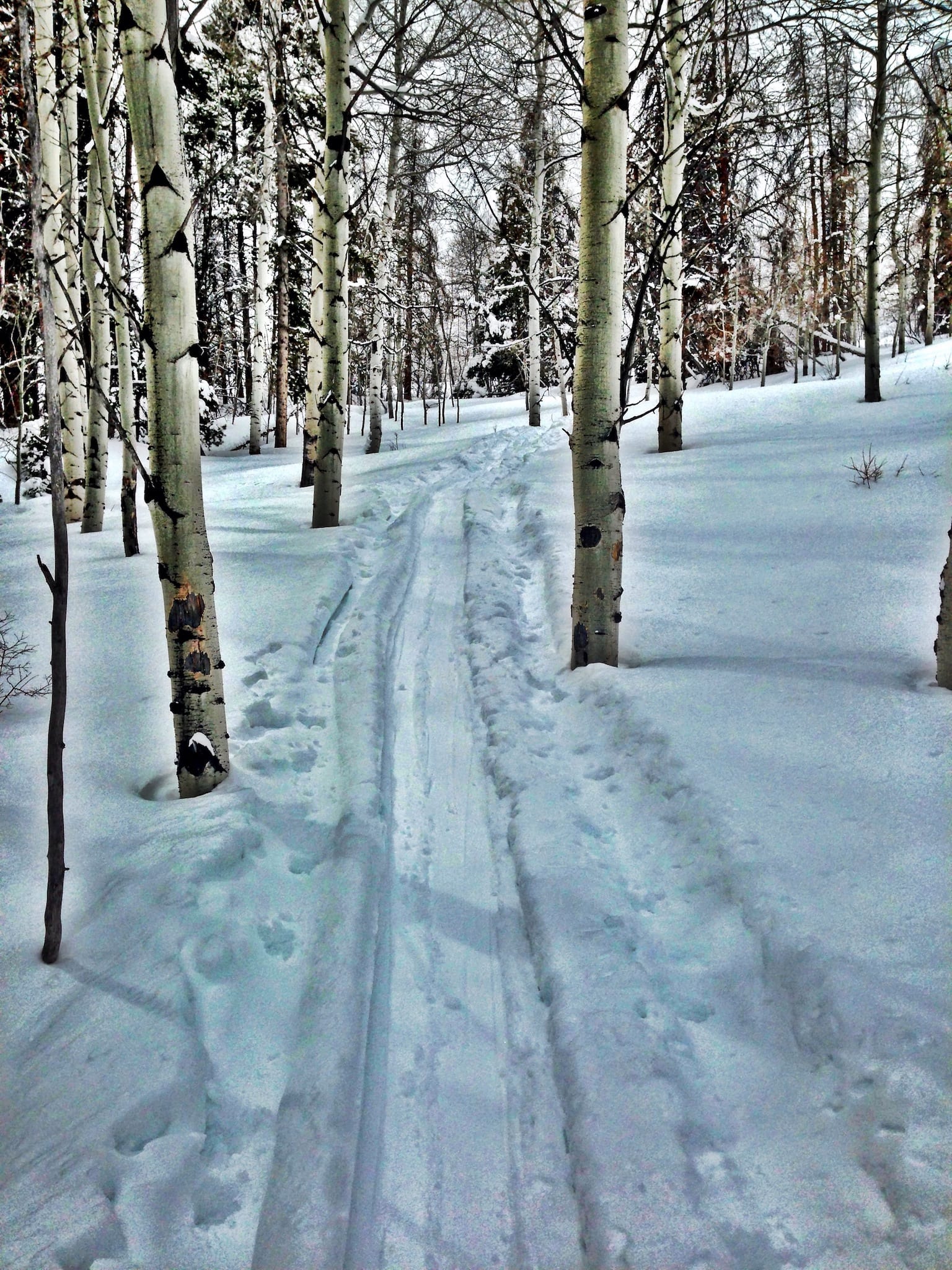
Also located just outside of Vail in the neighboring town of Minturn, the Meadow Mountain trail is a great backpacking choice for those who want to spend days amongst the yellowing aspens. Hike through sweeping meadows and aspen forests with mountain peaks surrounding you.
If you don’t want to hike the entire length, after about three miles in you will reach a sprawling aspen grove where you can turn around to make it an accessible six-mile hike.
- Distance: 10.3 miles
- Elevation gain: 2,076 feet
- Type: Out and back
Buck Creek
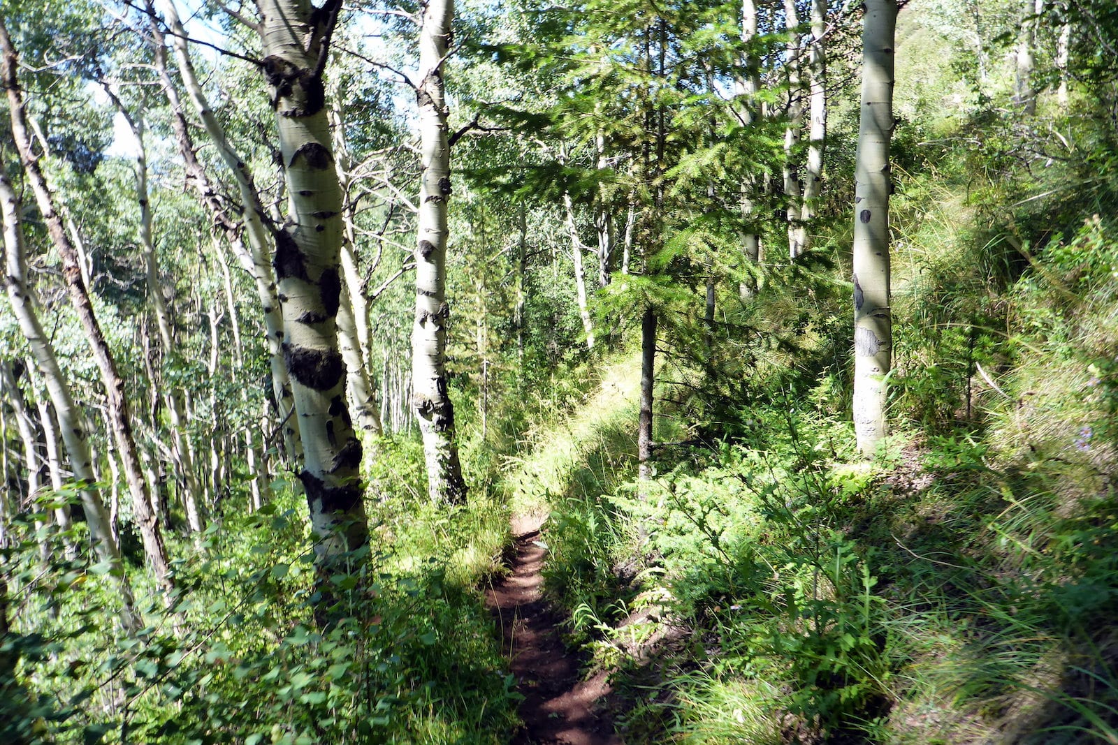
Found in the neighboring town of Avon, the Buck Creek trail leans on the more difficult with its steep and narrow ascent for the first three miles. Aside from its plentiful aspens and beautiful views of Beaver Creek, its light usage is another main draw. If you are feeling ambitious, continue to summit the Red and White Mountains. The trail begins at Morning Star Drive, which is accessed from the Avon exit on I-70.
- Distance: 7 miles
- Elevation gain: 2,421 feet
- Type: Out and back
Village to Village
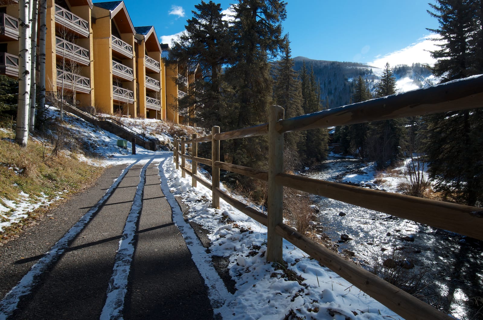
Even if you aren’t much of a trail person, the paved bike path that runs from Vail Village to East Vail is another great way to experience fall in Vail. The hillside is covered in shades of yellow and orange, all along the Vail Valley. It is one of the easiest ways for the entire family to enjoy the fall foliage in Vail.

 2 Hot Springs Resorts Closest to Boulder