Southwestern Colorado has earned a prestigious reputation for being one of the best places in the state to enjoy the outdoors, with Durango as its adventure capital. Located within the rugged San Juans, Durango is a mecca for natural attractions and outdoor activities, like hiking. Get outdoors and enjoy these top hikes on your next trip to the Southwest.
A bustling mountain town of around 20,000, Durango is a fun place to be year-round. It features a southwest mountain vibe, nestled in a valley near mesas, forests, and some lovely hiking trails. Unlike Telluride’s mountainous box canyon, the higher snow-capped peaks are a little drive outside of Durango. However, there’s a myriad of nature close to town.
These are among the top hiking trails in Durango, CO, in no particular order, include:
Animas Mountain Trail
Soak up the scenes of Durango and the surrounding mountains with the Animas Mountain Trail. This 6-mile loop offers a great view to the east of the Animas River, plus northern views of colorful red rock and the San Juan Mountains. Not only does this moderate hiking trail provide beautiful views, but its convenient access from town makes this a popular day hike for visitors and locals alike.
- Distance: 6 miles
- Elevation Gain: 1,519 feet
- Route type: Loop
- Rated as moderate
Falls Creek Trail
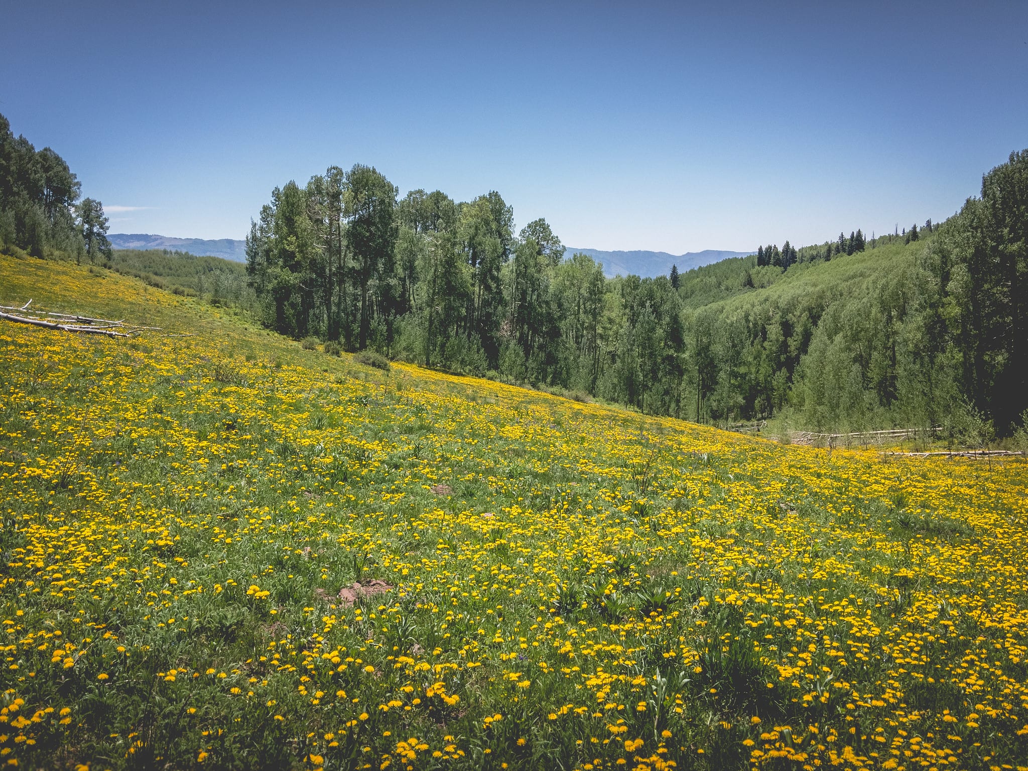
The Falls Creek Loop is a short yet sweet trail located in the San Juan National Forest, just outside of Durango. An excellent choice for all skill levels, the route features colorful wildflowers in the summer, a waterfall, and forested landscapes of the San Juans.
- Distance: 4.1 miles
- Elevation Gain: 393 feet
- Route type: Loop
- Rated as easy
Purgatory Trail
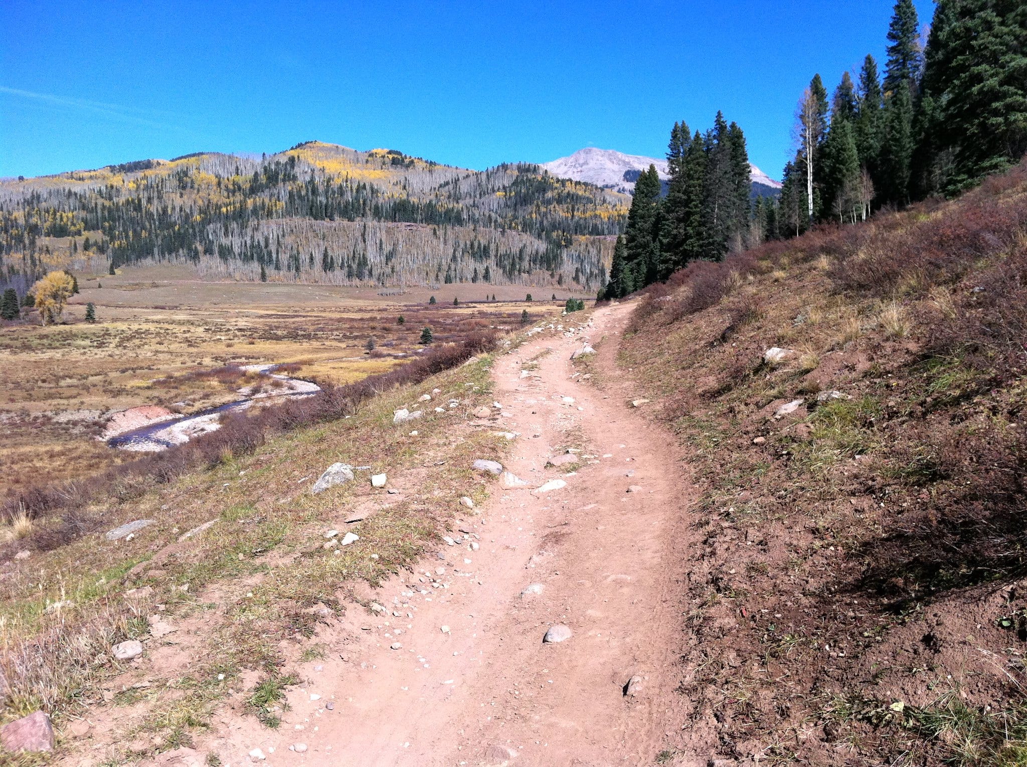
Don’t let the name fool you. Purgatory Trail is an easy hike for those getting started. Located in the Hermosa Creek Wilderness Area, the route is ideal in both the summer and fall with plentiful aspens that line the well-defined path. About 1.25 miles takes hikers to a beautiful vantage point that offers views of Lime Creek and the deep canyon of the Animas River.
From this viewpoint, hikers have the option to go back the way they came or continue to “the flats,” an open grassy field along the Cascade Canyon. Add on even more for an almost 9-mile hike down Cascade Canyon to the Animas River.
- Distance: 2.5 miles
- Elevation Gain: 1,820 feet
- Route type: Out and back
- Rated as moderate
Hermosa Creek Trail
As one of the more popular hiking trails in the Durango area, the Hermosa Creek Trail is a great option for smooth trails, rolling hills, plus meadow and mountain views. Many access points make this an easily accessible trail and offer the opportunity to make it as long or as short as you want.
- Distance: 18.6 miles
- Elevation Gain: 1,853 feet
- Route type: Point to point
- Rated as moderate
Animas River Trail
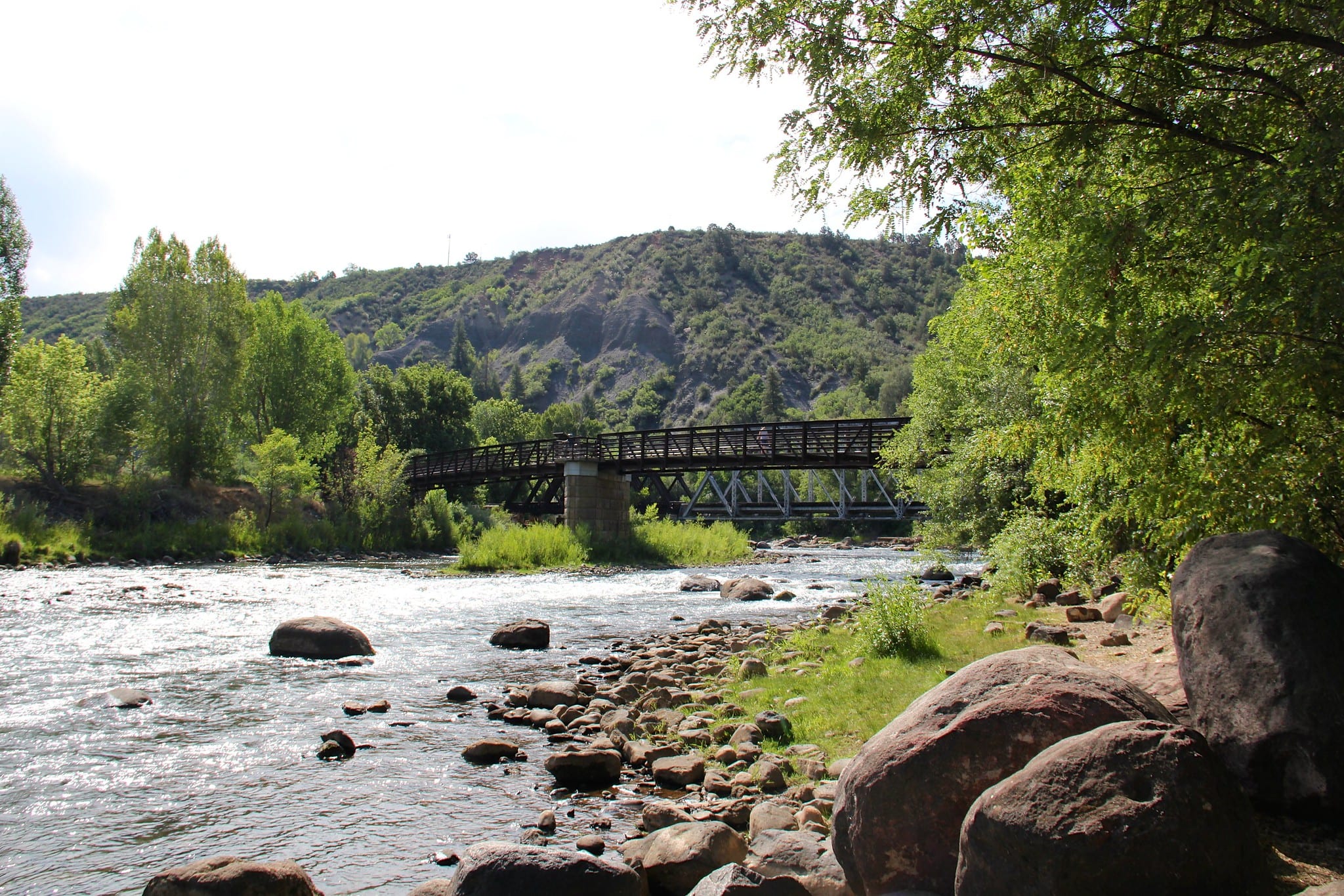
Used as both a walking and biking path, the Animas River Trail is a hard surface path that runs alongside the Animas River where it cuts through the town of Durango. There are various points of access, with the north end of the trail beginning at the intersection of 32nd Street and East 3rd Avenue. This is a perfect choice for an easy day stroll without a lot of elevation gain and is a popular spot for bikers, hikers, and fishermen.
- Distance: 10 miles
- Elevation Gain: minimal elevation gain/loss
- Route type: Point to point
- Rated as moderate
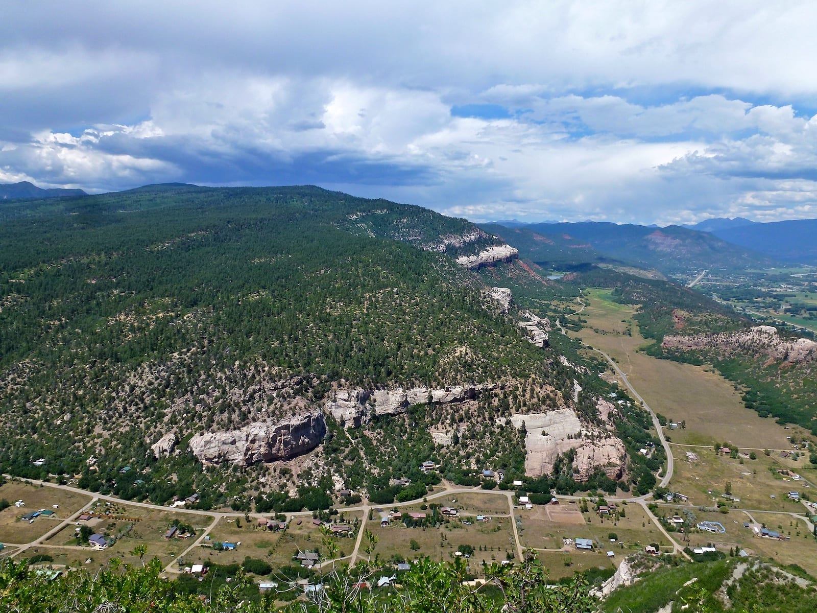
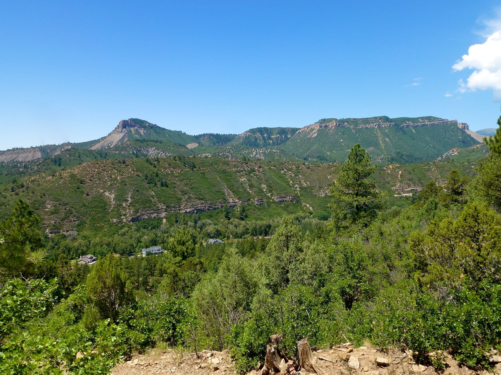
Perins Peak
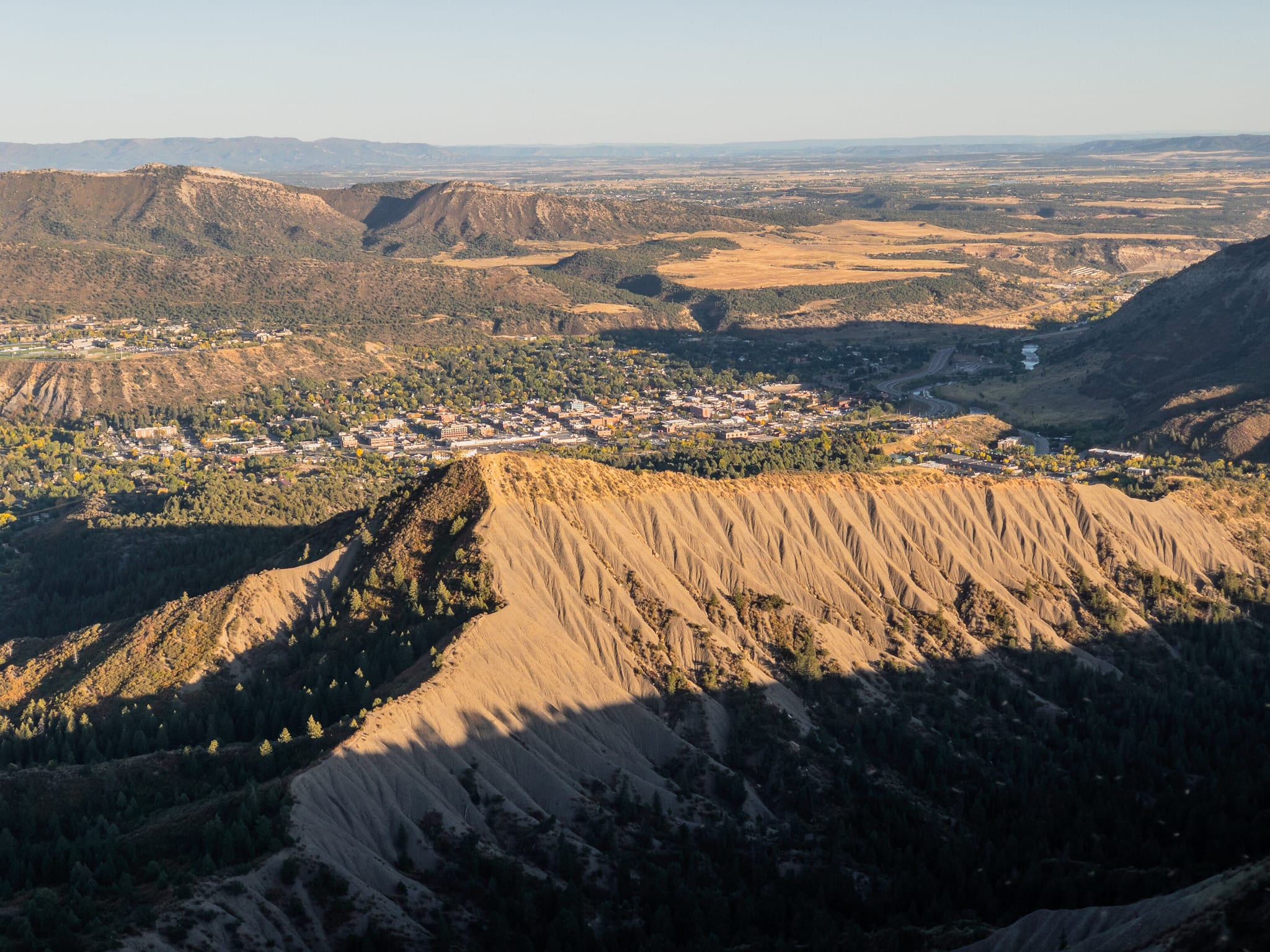
Found in the Perins Peak State Wildlife Area, Perins Peak Trail is a great hike for all ages and offers stunning views and rock climbing opportunities for those who dare. Perins Peak is a notable and distinctive natural landmark that towers over the town of Durango. With several access points found in town, this is an easily accessible trail. Add on the North Perins Peak for a 10-mile hike and 2,300 feet in elevation gain.
- Distance: 5.9 miles
- Elevation Gain: 1,561 feet
- Route type: Out and back
- Rated as moderate
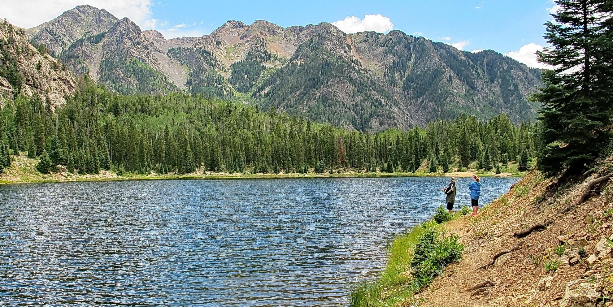
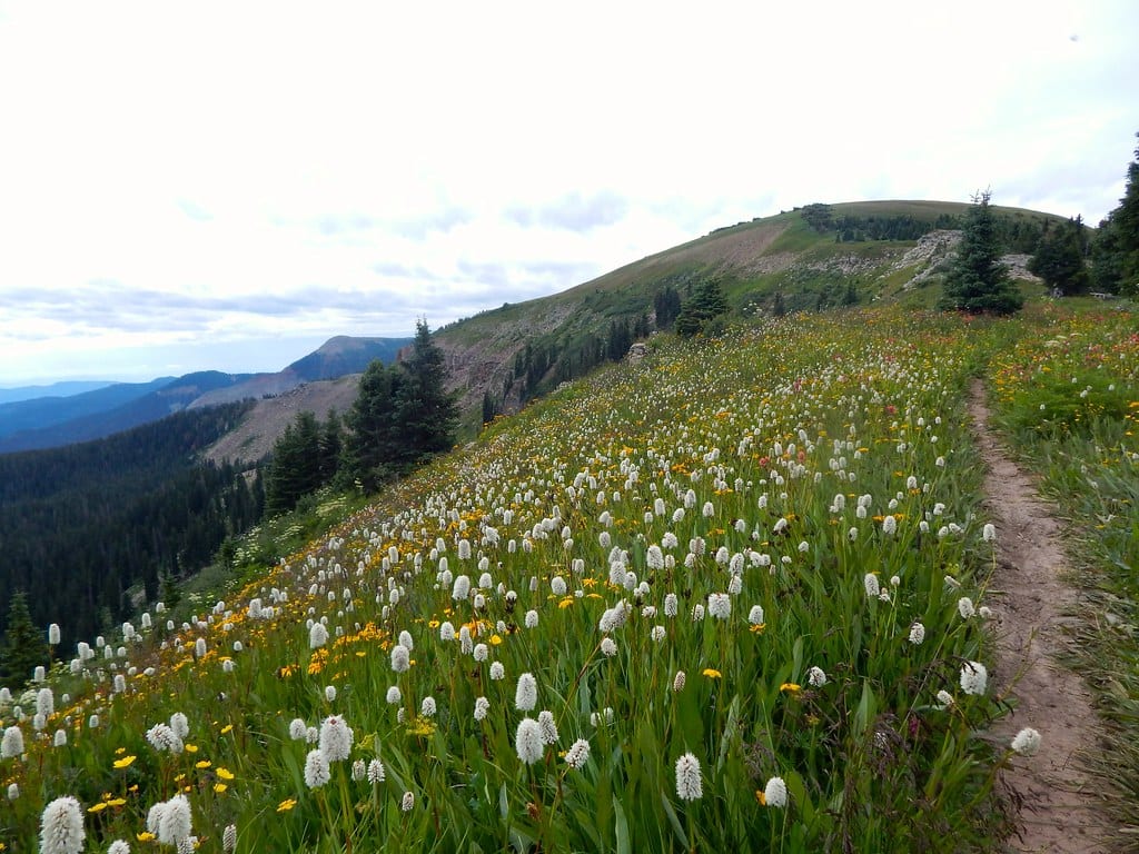
Spud Lake Trail
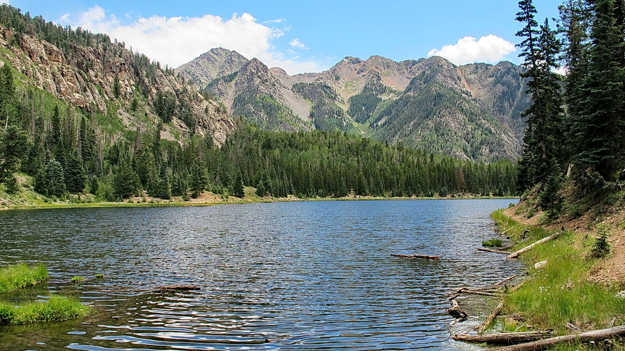
A trail the entire family can enjoy, Spud Lake Trail is an easy loop that reaches the trout-filled Spud Lake. Camping, fishing, and picnicking are popular activities to enjoy on the trail. Beaver ponds are found throughout, with views of Potato Hill (Spud Mountain) visible from the trail. Take in the views of the Hermosa Cliffs, the Animas Valley, and the West Needle Mountains upon reaching Spud Lake. This trail access point is found 29 miles north of Durango on U.S. Highway 550 to Forest Road 591.
- Distance: 3.1 miles
- Elevation Gain: 419 feet
- Route type: Loop
- Rated as easy
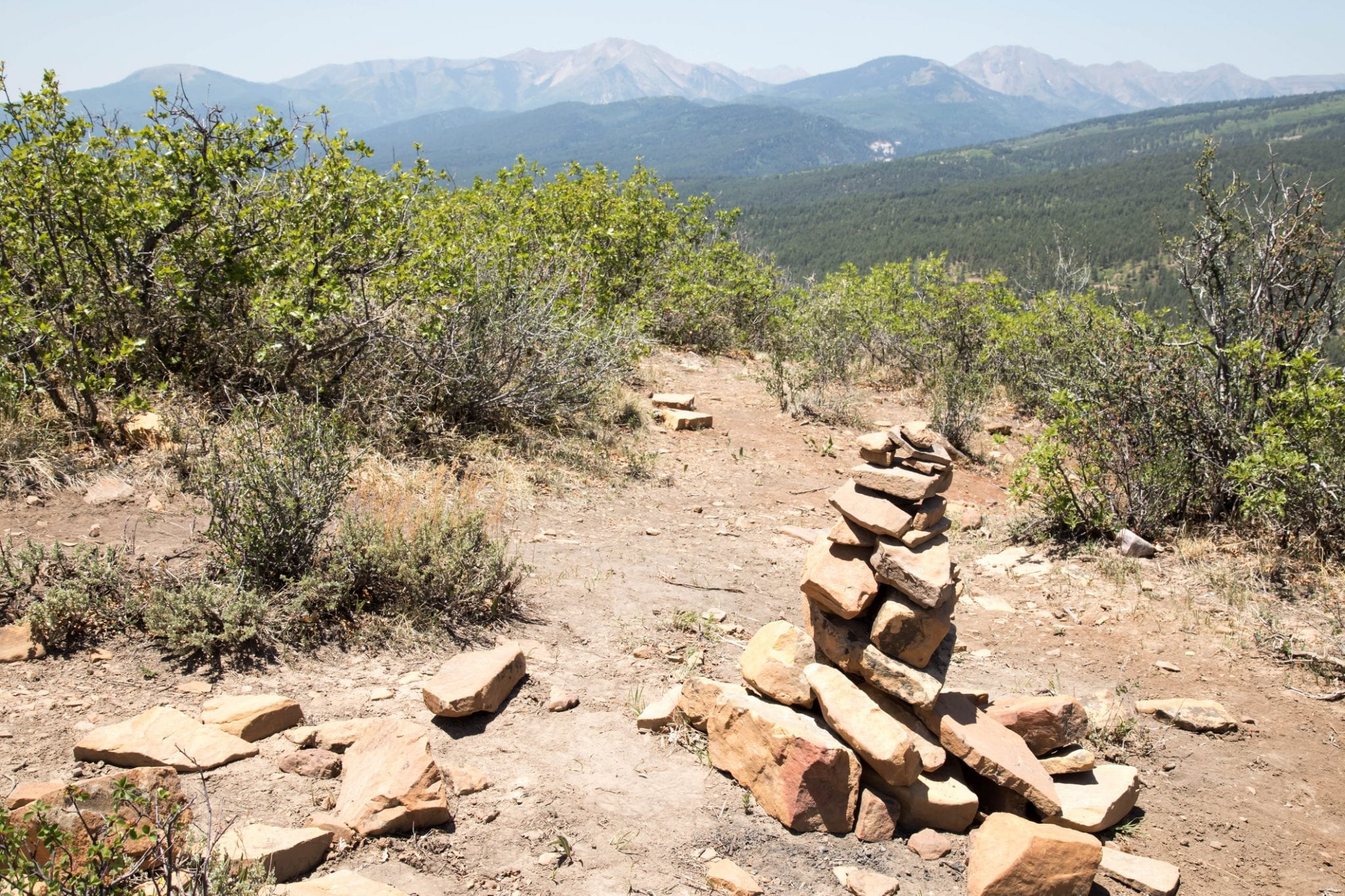
Goulding Creek Trail
For a bit of a challenge and a more remote trail system, check out the Goulding Creek Trail. The rugged trail offers a chance to see waterfalls, open meadows, and views of the Hermosa Cliffs Roadless Area. In the fall, the plentiful aspen groves light up the hike, making this particularly enjoyable in the fall season. The trail begins about 17 miles north of Durango from U.S. Highway 550.
- Distance: 6 miles
- Elevation Gain: 2,100 feet
- Route type: Out and back
- Rated as moderate
Colorado Trail
The Colorado Trail is a long-distance trail that runs from Denver to Durango, right around 500 miles long. The part closest to Durango offers great day-hiking and multi-day hiking opportunities, making your excursions as long or as short as you want.
- Distance: 488 miles (Denver to Durango)
- Elevation Gain: 88,750 feet
- Route type: Point to point
- Rated as hard (due to length)
Smelter Mountain Trail
A hike most locals would recommend, the Smelter Mountain Trail is a short but steep trail that begins in town. Perfect for an early morning workout or an early evening (during the summer) stretch, this trail provides little shade but with big views. The end of the trail brings hikers to a magnificent vantage point that rises above the town of Durango.
- Distance: 3.8 miles
- Elevation Gain: 1,374 feet
- Route type: Out and back
- Rated as moderate
Engineer Mountain
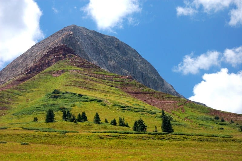
For a challenge and undeniable 360-degree views, make your way up to Engineer Mountain. Named for the prominent double cone seen along U.S. Highway 550 in the San Juan Mountains, Engineer Mountain Trail guides hikers to a 13,000-foot summit that offers panoramic mountain views. Best enjoyed in the summer when wildflowers are blooming, and warmer weather clears the snow-covered trail for one of the best hiking experiences near Durango.
- Distance: 12.7 miles
- Elevation Gain: 3,106 feet
- Route type: Out and back
- Rated as hard
That’s a roundup of some of Durango’s best hiking trails. If you’re touring the southwest, be sure to peruse Telluride’s top hiking trails, for more alpine adventure.
 11 Best Hiking Trails in Boulder, Colorado