• Skip to main content
  • Skip to header right navigation
  • Skip to site footer
Uncover Colorado Logo

Free Colorado Travel Guide | Vacations, Travel and Tourism

  • Blog
  • Activities
  • Events
  • Lodging
  • Towns
  • Trip Planner

Gilcrest, Colorado

Gilcrest Colorado City Limit Sign
Gilcrest, CO on US-85. Photo by: Jeffrey Beall

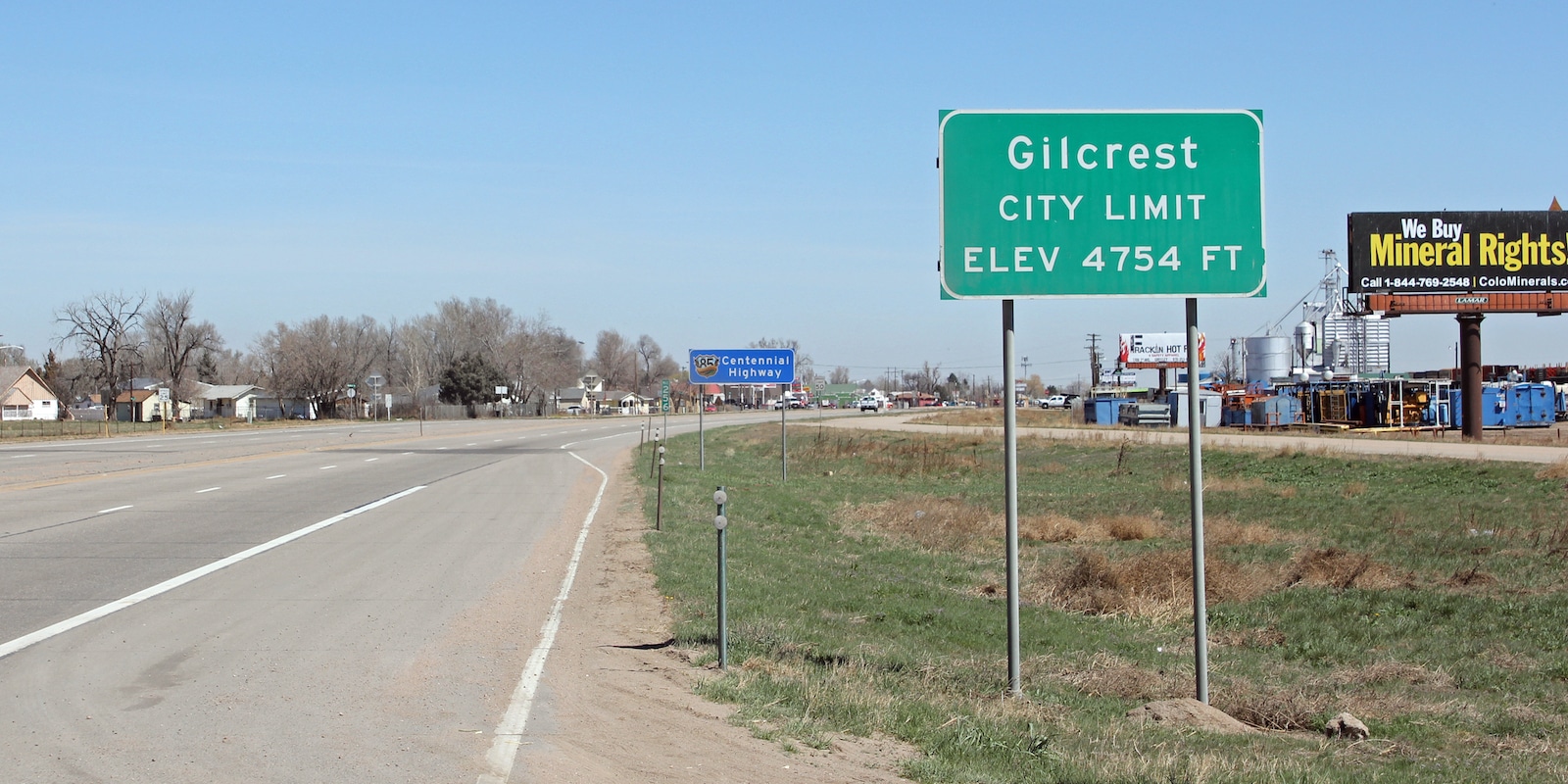
Located at 4,754 feet of elevation southwest of Greeley, Gilcrest had a population of 1,029 in 2020. The plain town is situated on US 85, so it offers convenient access to the Denver Metro and northern front range.

There has been a Gilcrest Post Office since 1907. The statutory town was incorporated on March 18th, 1912. It was named after W.K. Gilcrest, who was a prominent banker. It’s part of Weld County.

Activities near Gilcrest

Federal Lands:

  • South Platte River

Towns:

  • Denver (24mi)
  • Evans (8mi)
  • Firestone (19mi)
  • Fort Collins (36mi)
  • Greeley (12mi)
  • Lochbuie (25mi)
  • Longmont (23mi)
  • Loveland (42mi)

Sidebar

Weld County

  • All Towns
  • Weld County
  • Ault
  • Berthoud
  • Briggsdale
  • Dacono
  • Eaton
  • Evans
  • Erie
  • Firestone
  • Fort Lupton
  • Frederick
  • Garden City
  • Gilcrest
  • Greeley
  • Grover
  • Hudson
  • Johnstown
  • Keenesburg
  • Kersey
  • LaSalle
  • Lochbuie
  • Longmont
  • Mead
  • Milliken
  • Northglenn
  • Nunn
  • Platteville
  • Pierce
  • Raymer
  • Severance
  • Thornton
  • Home
  • About Us
  • Contact Us
  • Privacy Policy
  • Resources
  • Disclaimer—Terms of Service

Copyright © 2025 · Free Colorado Travel Guide | Vacations, Travel and Tourism · All Rights Reserved