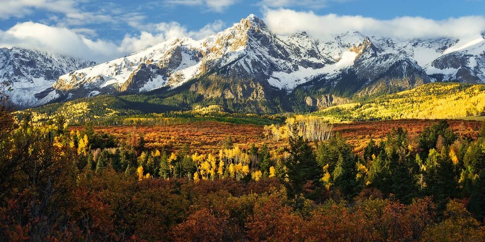
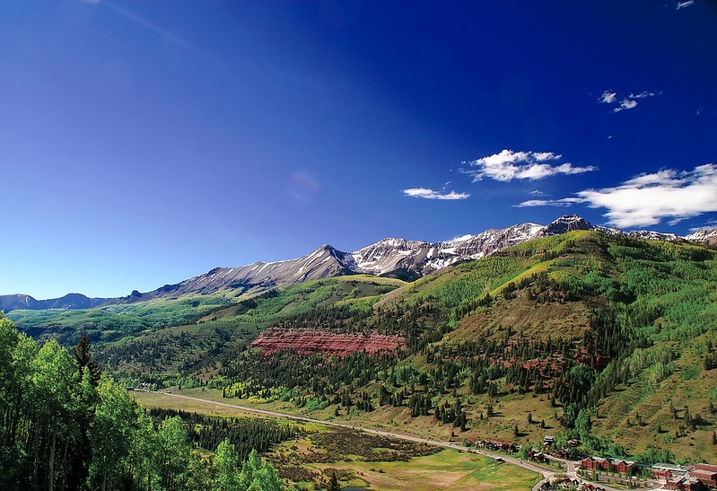
The San Juan Mountain Range covers the southern part of the Colorado Rockies. Home to numerous jagged volcanic peaks, aquamarine-colored alpine lakes, mineralized rocks, and waterfalls, this particular range is home to some of the most diverse and beautiful terrain in the country.
Stretching 12,000 square miles, there is much to discover in the San Juans. Spanning the Continental Divide, the San Juan Mountains contain rough and jagged volcanic summits, 13 of which rise to over 14,000 feet. The mountains were formed when two continental plates pressed against one another, pushing through the crust of the earth.
Its volcanic activity is what formed the mountains and produced metallic minerals like gold and silver in veins throughout the mountain range. Then glaciers formed the mountain’s steep slopes, u-shaped canyons, including the iconic box canyon of Telluride.
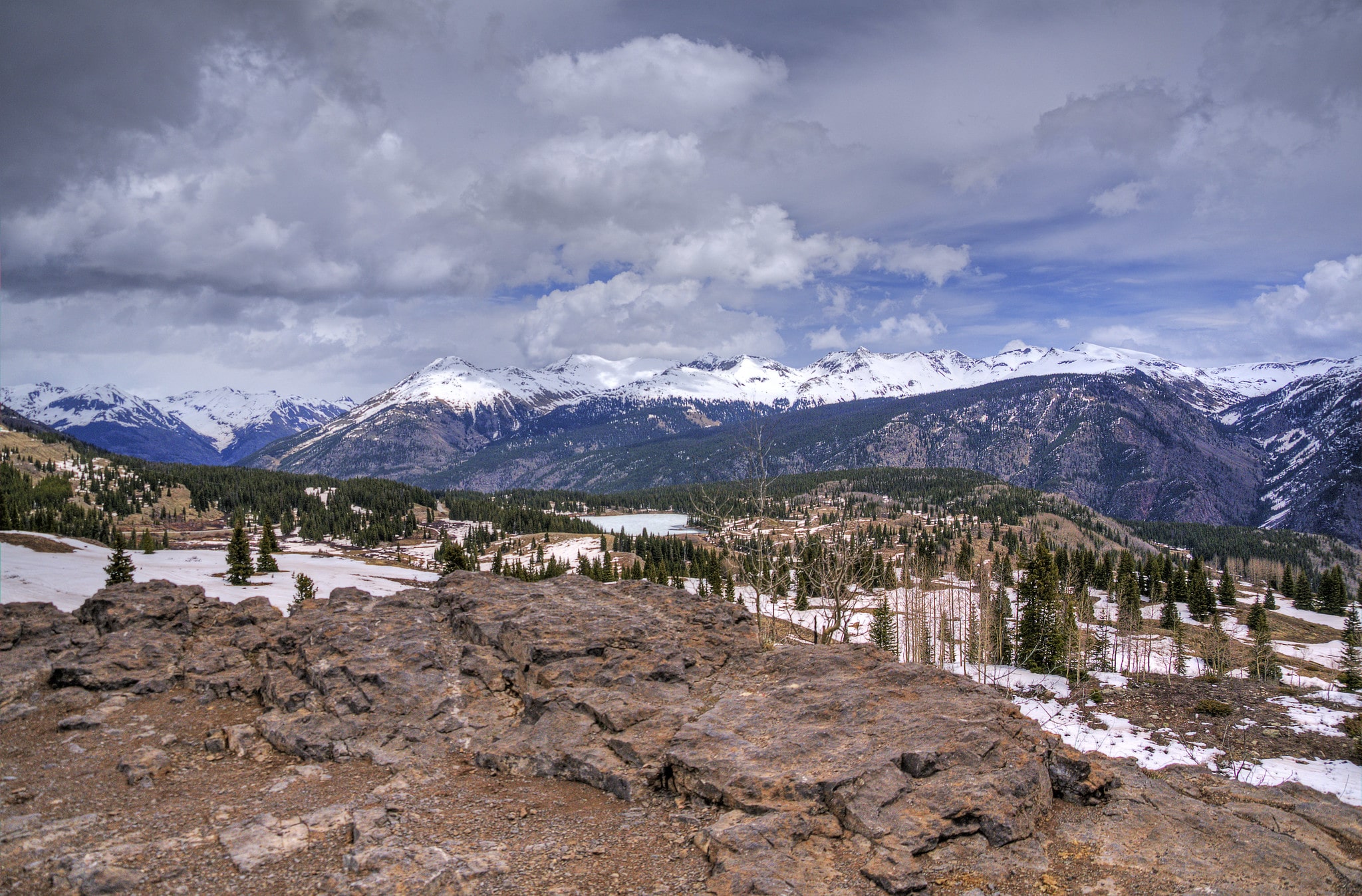
This stunning mountain range contains some of the highest and most notched and rugged summits in the continental U.S. It holds 28 peaks above 9,000 feet and 13 peaks above 14,000 feet, with a total of 653 named mountains.
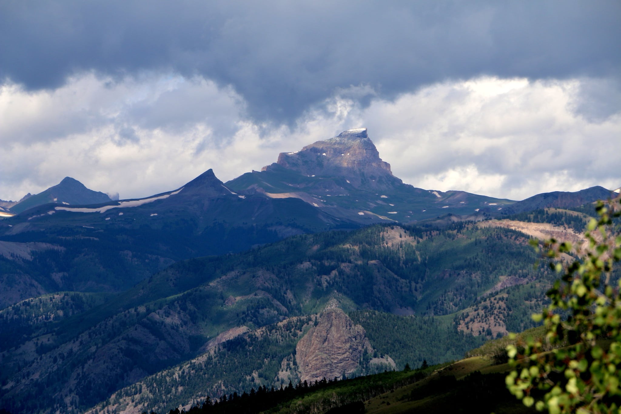
The highest and most prominent is Uncompahgre Peak at 14,309 feet, the sixth-largest in all of the Rocky Mountain chain. Some of the range’s most popular peaks include Mt. Sneffels and peaks Hanides, Wetterhorn, Redcloud, and Sunshine.
Mountain runoff from the east side of the range feeds the Rio Grande River. On the other side, its western slope of the continental divide, it is drained by tributaries of the San Juan, Dolores, and Gunnison rivers, which all lead to the Colorado River.
The mountain range is made up of the Uncompahgre, Rio Grande, Carson, and the San Juan National Forests. Within the San Juan National Forest, there are three designated Wilderness areas including, Weminuche Wilderness, Lizard Head Wilderness, and South San Juan Wilderness.
History of the San Juans
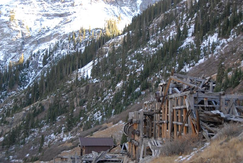
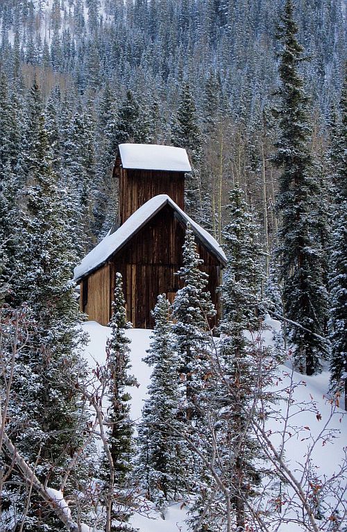
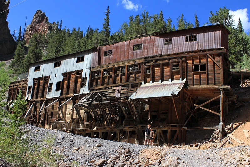
One of the area’s most unique attractions is its important role in Colorado’s mining history. As part of the Colorado Mineral Belt, the area is highly mineralized and it’s what brought in settlers to mine for silver, gold, and other minerals. In 1861, gold was discovered in the San Juan Mountains, creating a rush to discover and settle here.
While large-scale mining has ended in the region, visitors can view some of the historic mines that dot this mountain range. Remnants of some of the biggest mines once in operation are still visible within the landscape. These include Camp Bird, Smuggler Union, and the Idarado Mine.
Now many of the old mining camps are tourist attractions and sites for summer homes.
Where are the San Juan Mountains
The San Juan Mountains extend to the southeastern part of the state for 150 miles from Ouray into Northern New Mexico. The range expands 120 from west to east and 75 miles from south to major towns, all of which were old mining camps, including Creede, Lake City, Silverton, Ouray, and Telluride.
Directions for access
It is bordered by the U.S. 50 to its north, U.S. 160 to its south, and Colorado 145 to its west, and U.S. Route 285 to its east. Accessing the San Juans is fairly easy with two year-round highways that cover the range from north and south – U.S. 550 and Colorado 149. While there are several roads that cross the mountain range from east to west, they are all 4×4 roads with limited accessibility.
Activities in the San Juan Mountains
With one of the most scenic landscapes in the state, coupled with unique historic destinations, the San Juans are a playground for all! Discover below our favorite things to do in the San Juan Mountains.
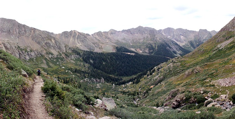
Hiking
Most of Colorado’s most iconic trails reside in the San Juan Mountains. Some are approachable day hikes, some are multi-day backpacking trips, and some involve summiting 14,000+ foot peaks.
Chicago Basin
Chicago Basin is one of the most popular backpacking routes in the state. It rests in a small part of the Weminuche Wilderness within the San Juan National Forest. The majority of visitors come to this area to climb the three 14ers that border the basin – Mount Eolus, Windom Peak, and Sunlight Peak.
A popular way backpackers access the area is via the Durango & Silverton Narrow Gauge Railroad to the Needle Creek Trailhead. Once at the trailhead, the hike climbs steadily for roughly six miles to the Chicago Basin. From here, most make a basecamp for exploring nearby trails and peaks.
Colorado Boy Mine
Located in the Ironton Park area, off U.S. 550, near the town of Ouray, the Colorado Boy Mine trail is a great hike that combines history and scenic mountainscapes. The trail is roughly a mile and a half round trip with some moderate climbs. It is a great choice for a quick day hike.
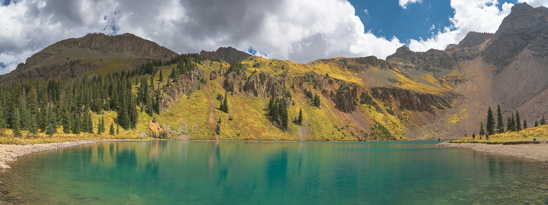
Ice Lakes
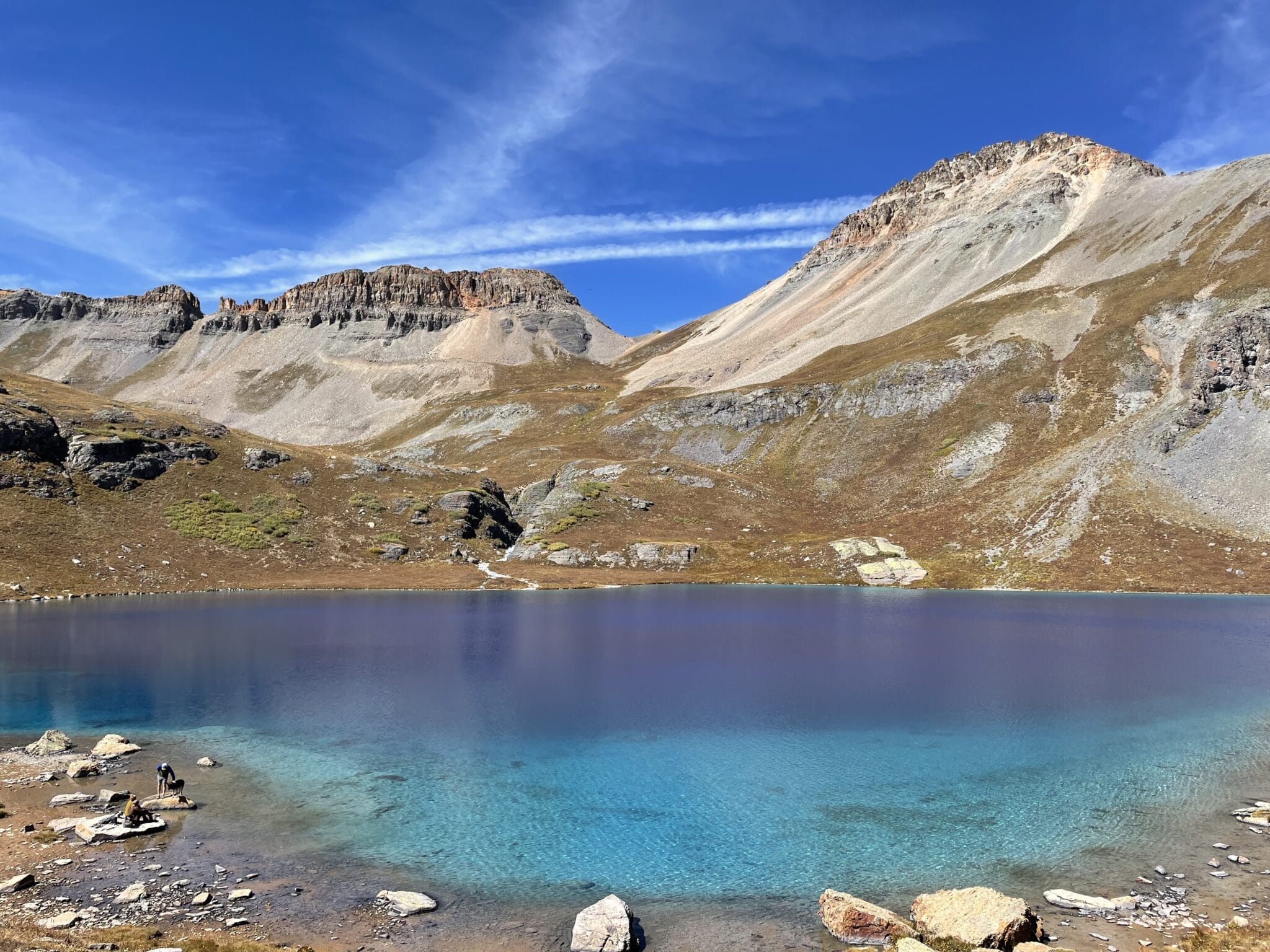
Located just outside of the town of Silverton, Ice Lakes Trail is easily one of the most popular hikes in the state. While not for the faint of heart, an eight-mile round-trip hike gains 3,000 feet in elevation, gets your heart pounding. But the real heart-stopper is reaching the upper ice lakes, which are the highlight of the route with its crystal clear aquamarine water.
Blue Lakes Trail
Blue Lakes Trail guides hikers by creekbeds, turquoise alpine water, and views of Mount Sneffels. This 7.6-mile hike takes you to Lower Blue Lake and is a great choice for its moderate grade and its nearby town access from Ridgway. If you would like to extend the hike and take in more views, continue on the Blue Lakes Trail to Upper Blue Lake.
Mt.Sneffels
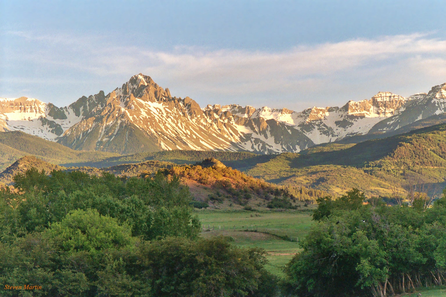
A popular 14er to summit is Mount Sneffels. Resting at 14,158 feet, Mt. Sneffels towers above the San Juan range in the Mount Sneffels Wilderness. The jagged peak is seen as you drive towards Telluride across Dallas Divide and offers two different access points for the summit. Either Yankee Boy Basin or Blue Lakes.
Mt. Sneffels via Yankee Boy Basin is the most common route to the summit. There are several starting points, all depending on what kind of car you are driving as the road requires a 4×4 vehicle as you get closer to the main trailhead. The route is 7.75 miles round trip from the highest 2WD parking lot.
The Blue Lakes Trail, as mentioned above, is another access point to the summit of Mount Sneffels. After approaching the lower Blue Lakes, hikers will continue to the upper lakes and ultimately Blue Lake Pass to the summit for a 13-mile round trip trek. This is the more strenuous of the two routes and so most set up camp at the lower Blue Lake Trail and summit Mt. Sneffels the next day.
Hike the Continental Divide Trail
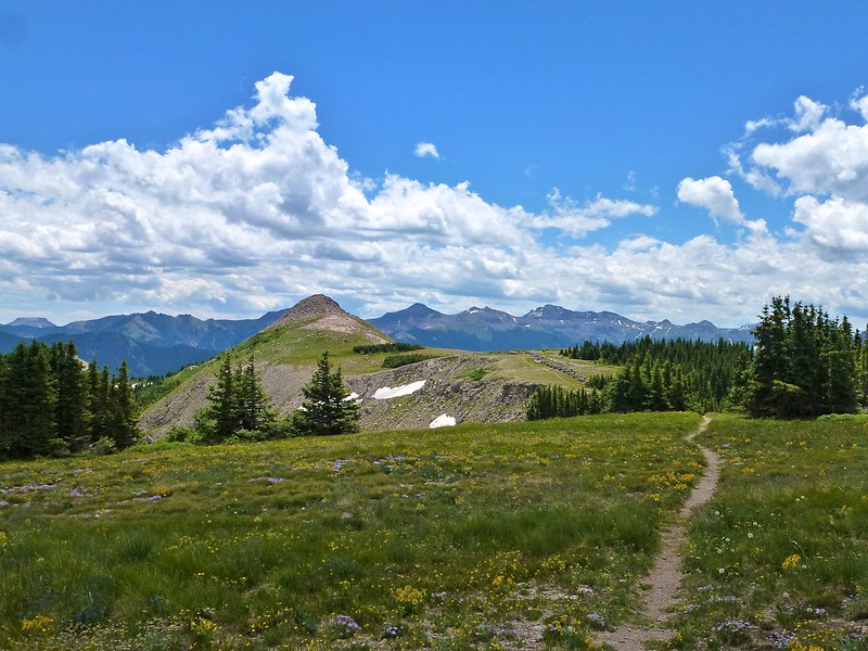
The Continental Divide Trail (CDT) is a long-distance hiking trail that is typically hiked from south to north, beginning at the Mexican border. Traveling through five states including, New Mexico, Colorado, Wyoming, Idaho, and Montana, ending at the Canadian border.
In Colorado, this well-known trail features more than a thousand peaks rising to 10,000 feet in elevation. The CDT crosses 800 miles amongst these towering peaks with historic landmarks, ghost towns, and remnants of the past dotting the route.
The CDT cuts through some of Colorado’s most beautiful landscapes, including the San Juans. Winding through the alpine tundra, the Weminuche, and the La Garita Wilderness, the CDT stays at or above 11,000 feet for almost 70 miles, known as the crest of the San Juan Mountains.
Continental Divide, section #813 is 54 miles of trail that passes through both the South San Juan and Weninuche Wilderness. Popular trailheads to catch the CDT in the San Juans include Wolf Creek Pass to Rock Lake and Squaw Pass to Weminuche Pass.
Backpacking in the Weminuche Wilderness
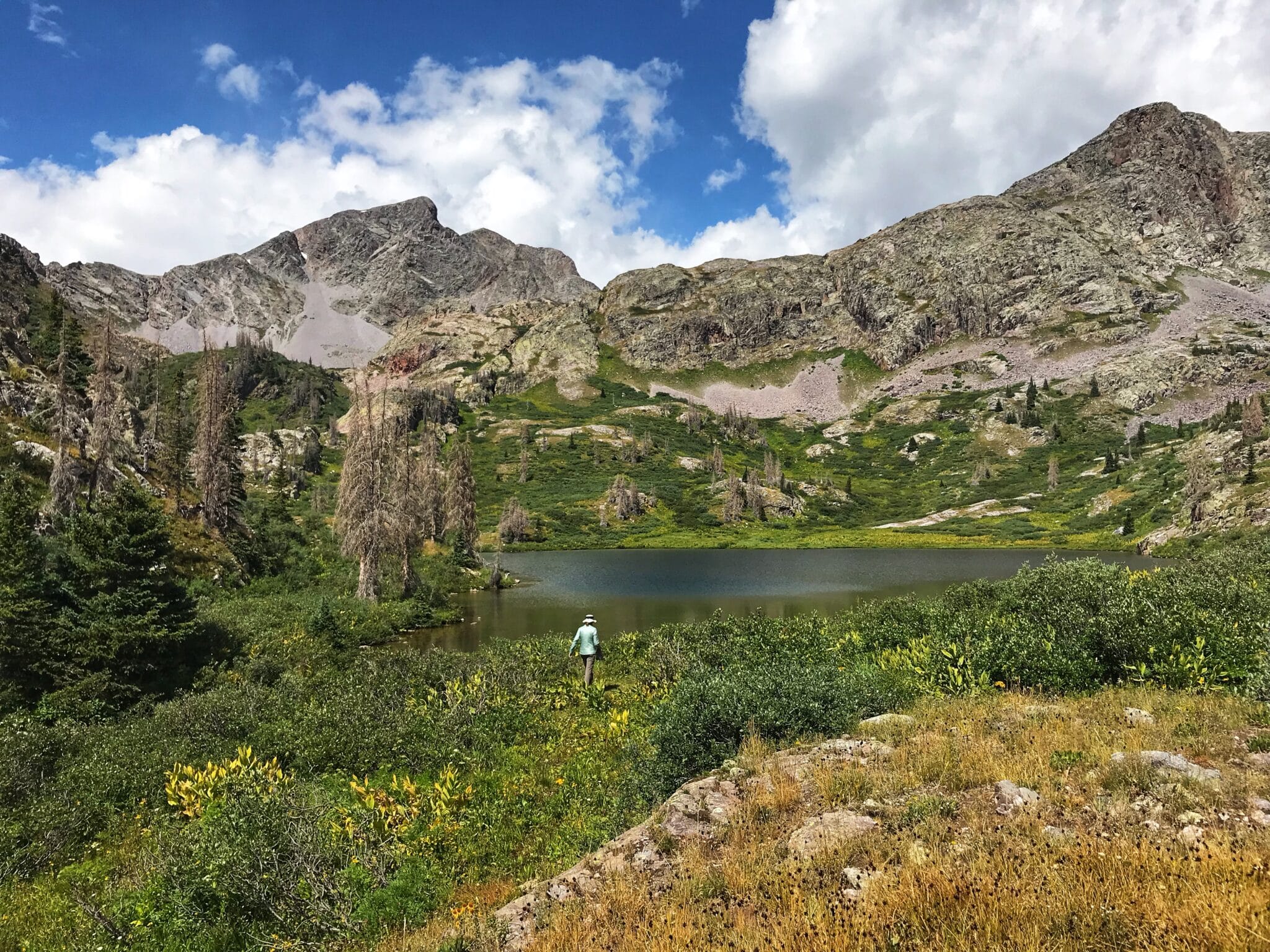
Within the Weminuche Wilderness, Colorado’s largest designated wilderness at 499,771 acres, there are numerous trails and places to explore. With an average elevation of 10,000 feet above sea level, the Weminuche is a rugged and expansive landscape. The mountain towns of Durango, Silverton, Pagosa Springs, South Fork, and Creede offer access to the wilderness area.
Durango & Silverton Narrow Gauge Railroad
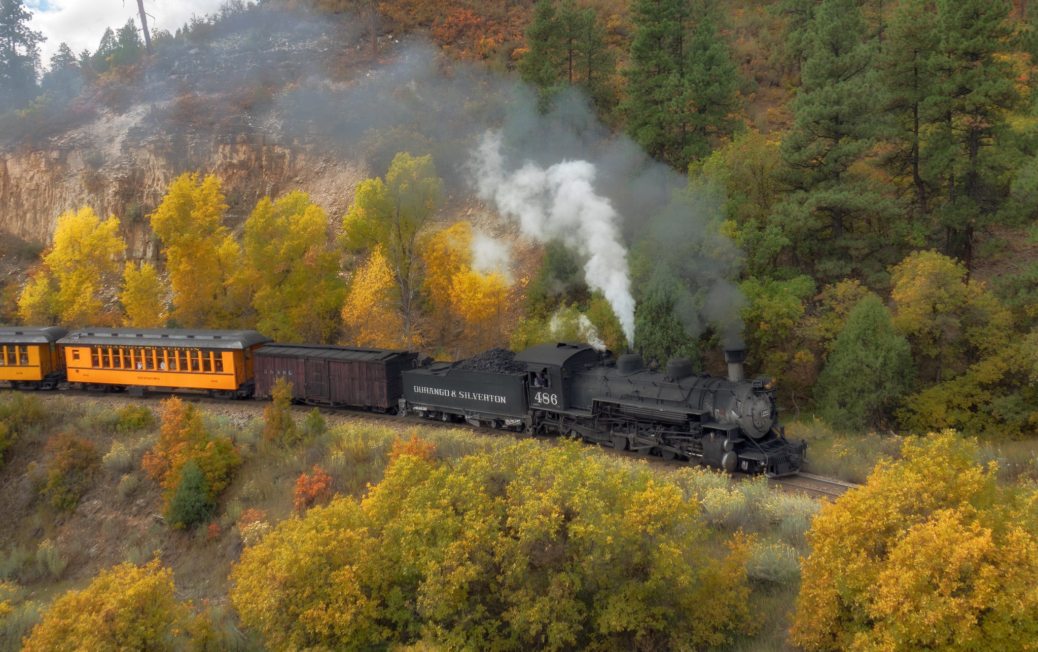
Tourism is now a major part of the regional economy in the San Juans, and the narrow gauge railway between Durango and Silverton is a major year-round attraction. A National Historic Landmark, this train offers a unique, family-friendly travel experience that blends Colorado’s history with stunning backcountry beauty.
Every season, the train travels through the towering peaks of the San Juans into Cascade Canyon, and from May through October, the rail transports passengers to and from Silverton. A popular trip is to plan to stay the night in the historic mining town of Silverton at one of its historic hotels, such as the Grand Imperial Hotel.
4×4 Off-Roading
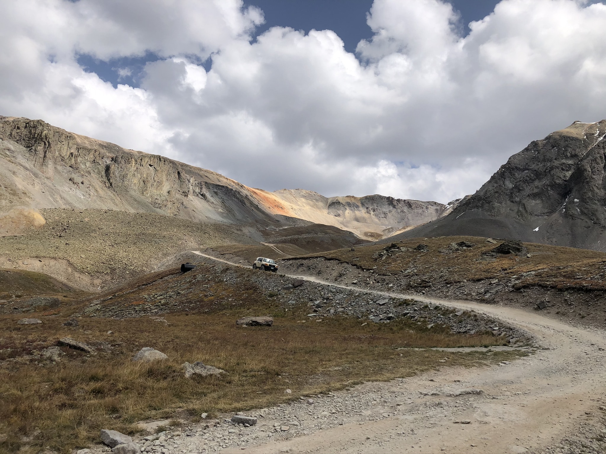
4×4 off-roading is a popular activity in the San Juans. Many of these 4×4 roads and trails are made possible by the roads that were built in the 19th century to connect the mining towns in the area.
Labeled the most dangerous road in Colorado, Black Bear Road is a notorious 4×4 route. This challenging one-way-only road plunges from the top of Black Bear Pass heading into the town of Telluride. The route starts from the summit of Red Mountain Pass on U.S. 550 to Telluride, passing the iconic Bridal Veil Falls, Colorado’s highest waterfall.
This road should only be approached by expert drivers with a proper 4×4 vehicle.
Imogene Pass is another popular 4×4 road between Telluride and Ouray. Its rough and steep terrain ascends and descends along cliffs and overlooks the old Tomboy mine as well as stunning views of the pass.
Other notable mentions include Ophir Pass Road, Animas Fork, and Engineer Pass. Do not take these roads lightly. Many require expert drivers and appropriate off-roading vehicles.
Downhill Skiing
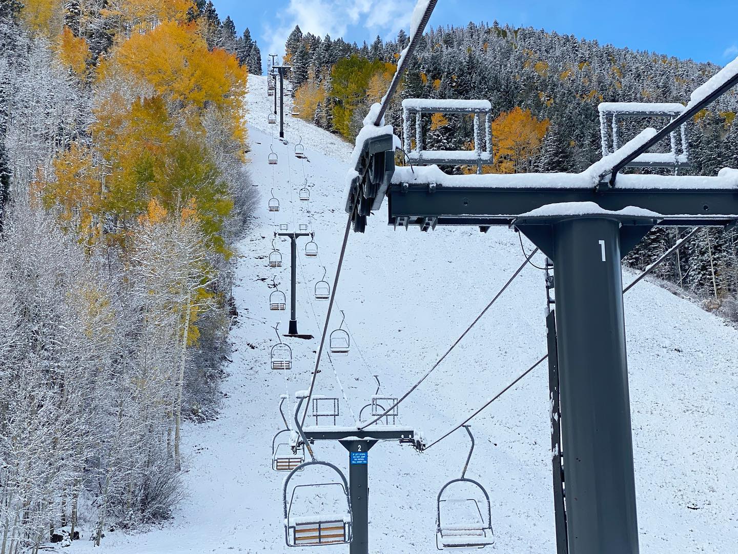
The San Juans are extremely steep and receive a lot of snow, making for a few great ski areas. While there aren’t any major ski resorts like Breckenridge or Keystone, the region boasts several smaller resorts that feature some of the state’s deepest powder.
Telluride Ski Resort is by far the most popular and most luxurious. Purgatory Resort, near Durango, is a small ski area that locals love. Wolf Creek Ski Area in Pagosa Springs is another great option with an average of 430 inches of snow a year. And for the extreme skier, Silverton Mountain is the best for the steepest heli and lift-served skiing.
San Juan Skyway
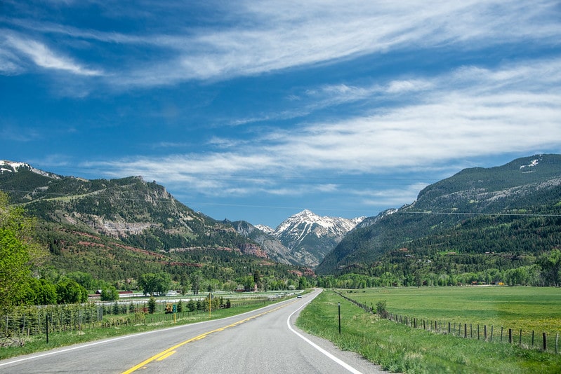
For the road-trippers, the San Juan Skyway is a must. Many of the mountain’s well-known sites and its most picturesque landscape are found along this scenic 200-mile loop. The route encompasses much of the western segment of the range via State Highways 145 and 62, plus U.S. Highways 550 and 160.
The historic byway covers dramatic scenery, winding mountain passes, historic mining camps, and passing through some of the state’s most popular and picturesque towns – Telluride, Ouray, and Silverton.
Bachelor Loop Historic Tour
Another popular driving route is the Bachelor Loop Historic Tour. This is a 17-mile drive through the historic mining district that sits above the town of Creede. The tour takes you by the old mining locations from the 1890s and deserted ghost towns that once were the size of Creede. While a 4×4 vehicle isn’t required, it is recommended.
The San Juans are arguably some of the most beautiful and diverse mountains in the state and with these experiences, you’ll soon see why!
Details
Closest towns:
Season: Year-round
Subrange of: Rocky Mountains
San Juan Mountain Subranges: