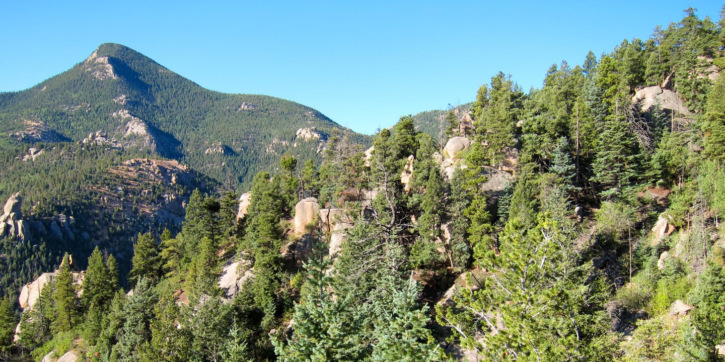
The Continental Divide runs through the state of Colorado, separating the watersheds of the country, and creating countless recreation opportunities along its journey. One of the most iconic national scenic trails in the United States runs parallel with this famous series of mountain ranges. Consider hiking a portion over a day, or a multi-day trek.
List of 1 National Scenic Trail
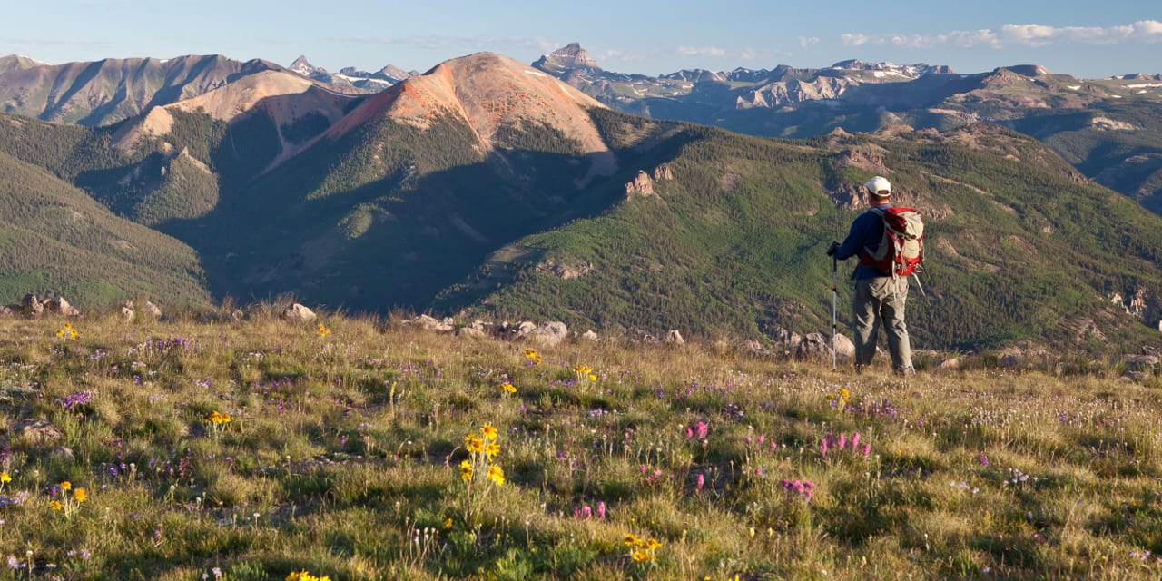
The sole national scenic trail in Colorado runs 3,100 miles from the Canadian border to Mexico. Crossing through the heart of the Rocky Mountains, the Continental Divide Trail covers 800 miles of its stunning, alpine route within the Centennial State. It passes through 5 states from south to north, New Mexico, Colorado, Wyoming, Idaho, and Montana. View all federal lands.
Map of National Scenic Trail
Guide to Hiking the National Scenic Trail
As part of the National Trails Act of 1968, signed by Lyndon Johnson, 11 national scenic trails were created throughout the United States, one of them crossing through Colorado. These hikes offer fantastic opportunities to see parts of the country on foot that take several weeks or months to complete.
The sole national scenic trail in Colorado runs 3,100 miles from the Canadian border to Mexico. Crossing through the heart of the Rocky Mountains, the Continental Divide Trail covers 800 miles of its stunning, alpine route within the Centennial State.
What is a National Scenic Trail?
A national scenic trail (NST) is a designated path of 100 miles or more, traveling through large sections of the United States. They were created to showcase the USA’s most beautiful areas and natural resources. Trekkers will be able to see national landmarks, stunning terrain, and interesting neighborhoods while they walk on a non-motorized route.
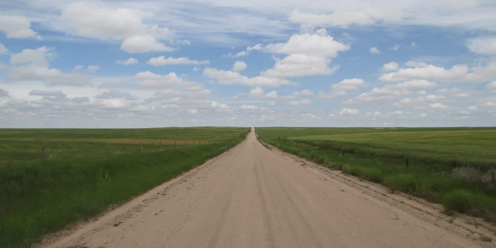
In the United States, there are 24,600 miles of national scenic trails in varying parts of the country. These pathways cater to explorers who want to take the road less traveled. Many parts of the journey are very isolating but peaceful.
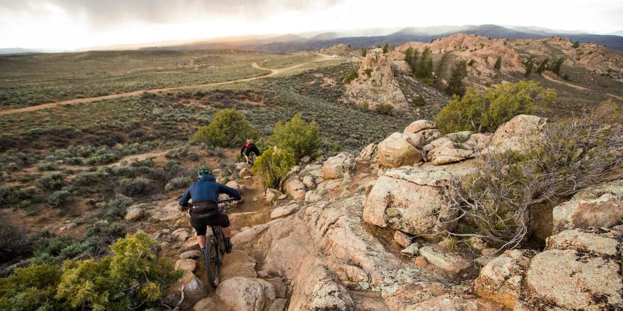
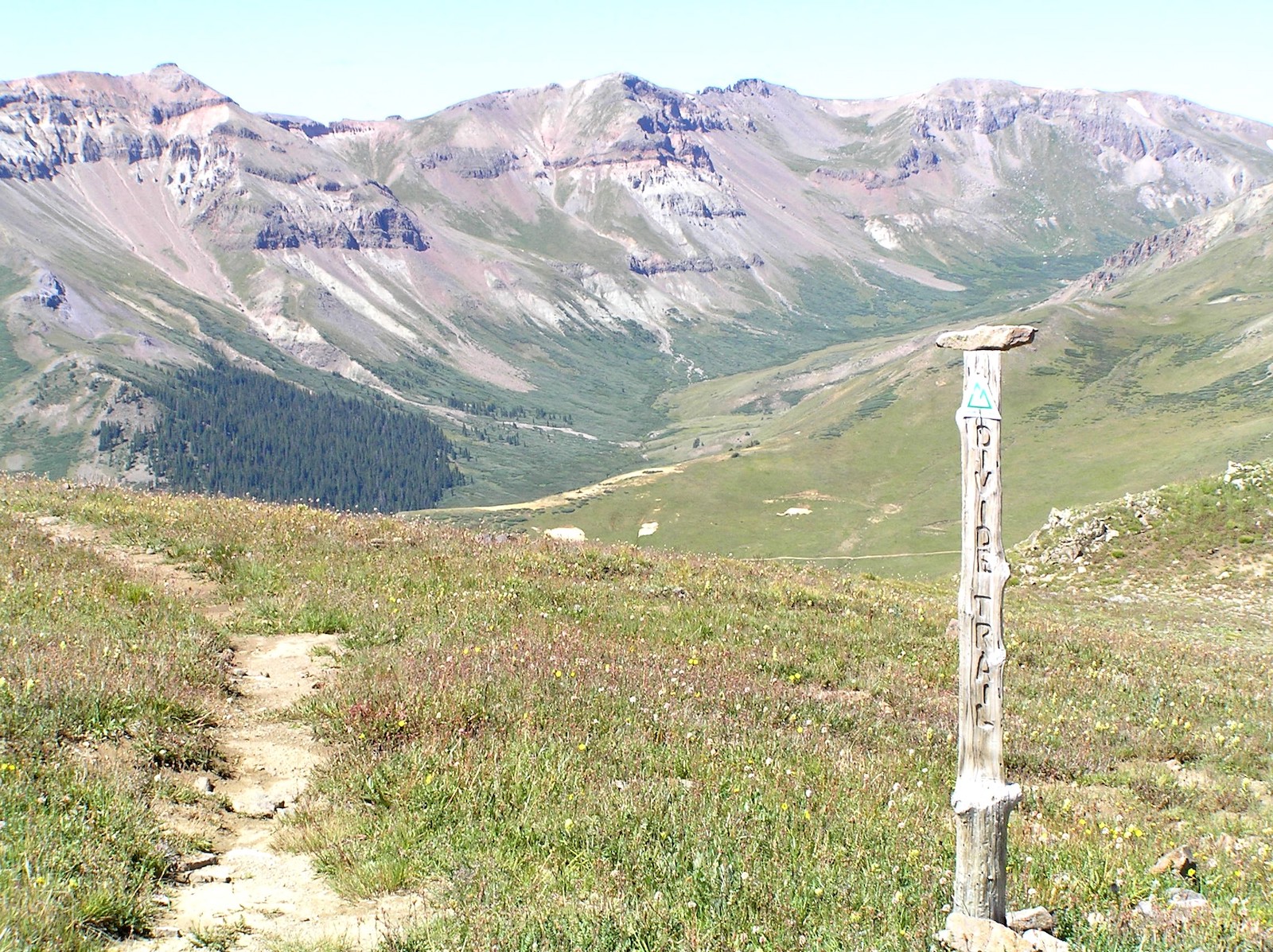
The Continental Divide Trail

The Continental Divide Trail is 3,100 miles long and stretches from the Mexico border in New Mexico and travels to the Canadian border in Montana. Along the way, it also goes through the entire states of Colorado and Wyoming and passes through a forest area in Idaho. Incredible and diverse scenery is the highlight of this trip, which takes between four and six months to complete in total.
People who want to do the entire length of the Continental Divide Trail need to plan their journey around the seasons. Since trekkers go through some areas that get heavy winters, it’s necessary to schedule accordingly. Many of those who did it started in April in New Mexico, allowing the Colorado portions of the path to defrost in spring and conclude on the Canadian border before harsh winter weather rolls out again in the north.
Some outdoor enthusiasts don’t attempt to do the whole thing in one shot but instead enjoy accomplishing only parts of the trail each year. Others admire it from afar by learning about it through blogs, YouTube, or books.
The Continental Divide
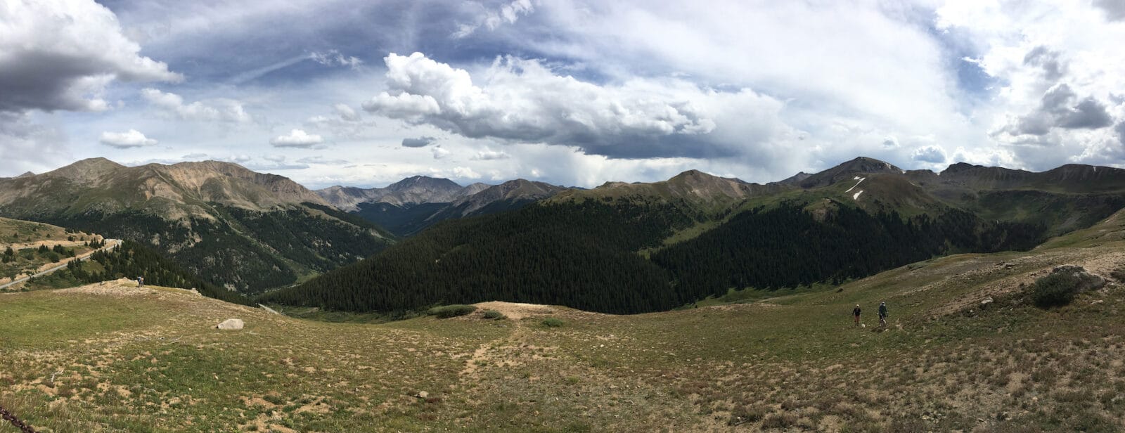
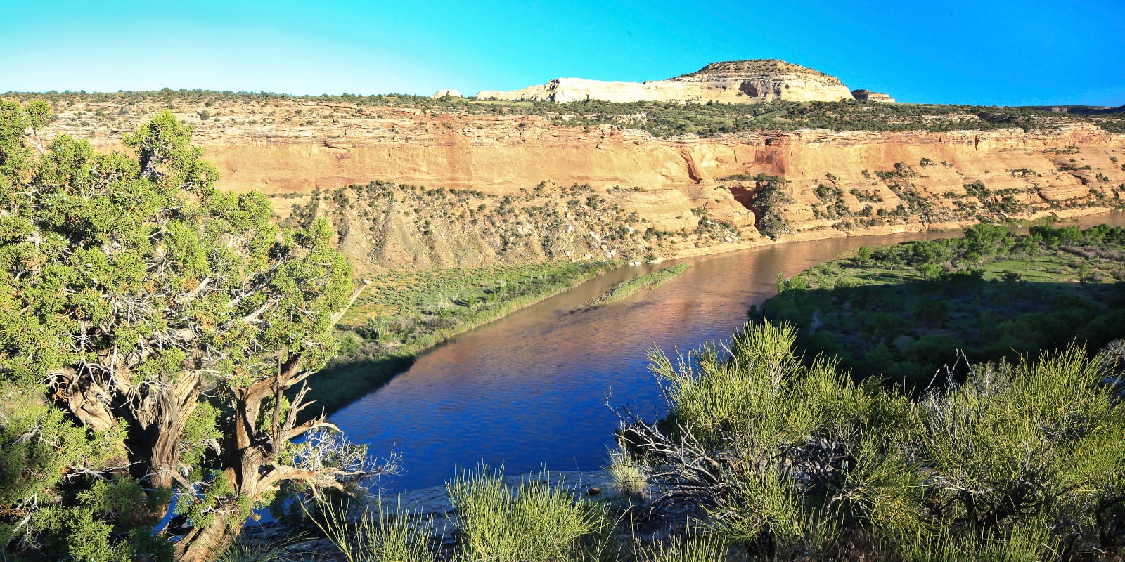
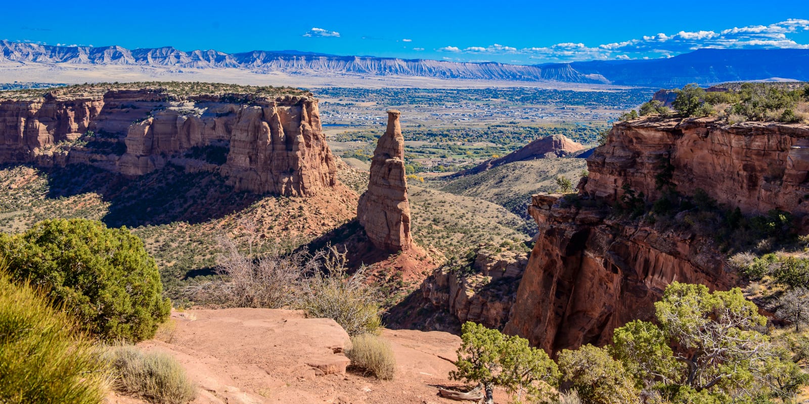
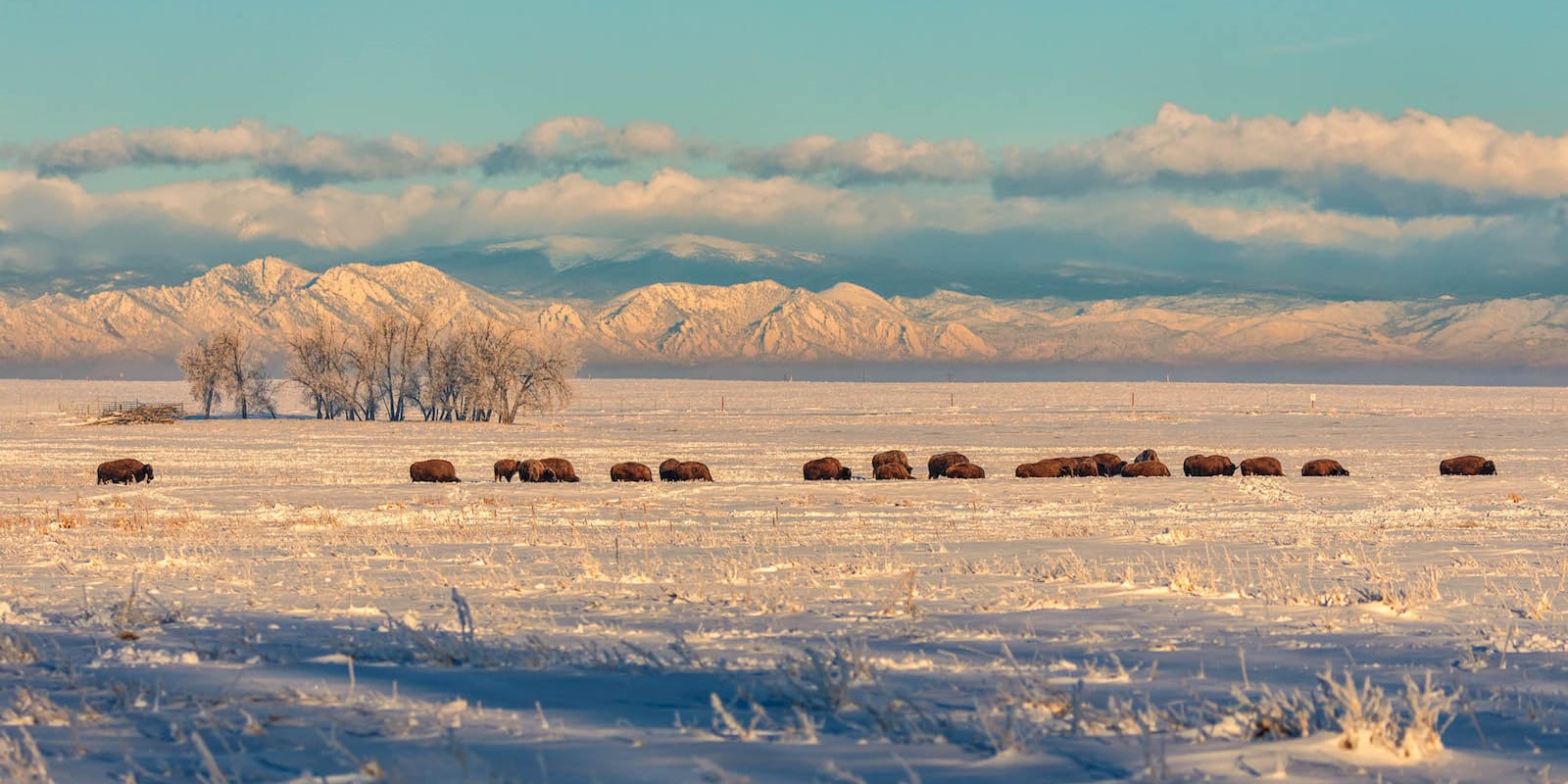
Also called “The Great Divide,” the Continental Divide in CO is part of a drainage system that connects the Bering Strait to the Strait of Magellan. It also separates watersheds that empty into the Pacific Ocean from those that fill rivers that pour into the Atlantic and Arctic Oceans. The basin that runs through Colorado is significant because it collects water from the Rocky Mountain Range.
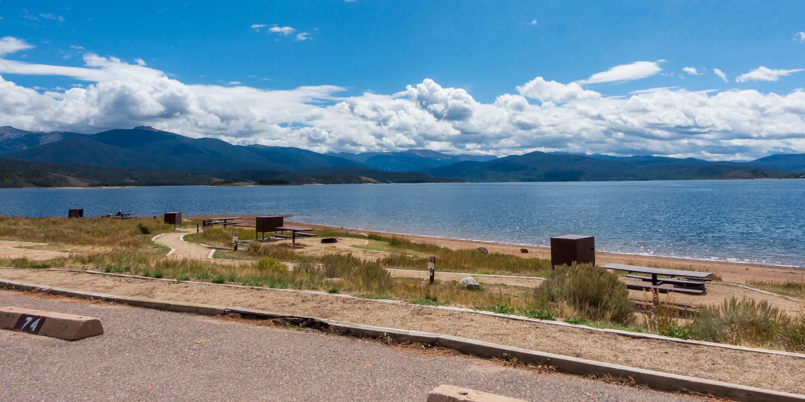
Since The Continental Divide National Scenic Trail is the only one that goes through Colorado, it can be fun and rewarding to complete or partially do. Go for a day trip or overnight backpacking excursion. Safe travels!